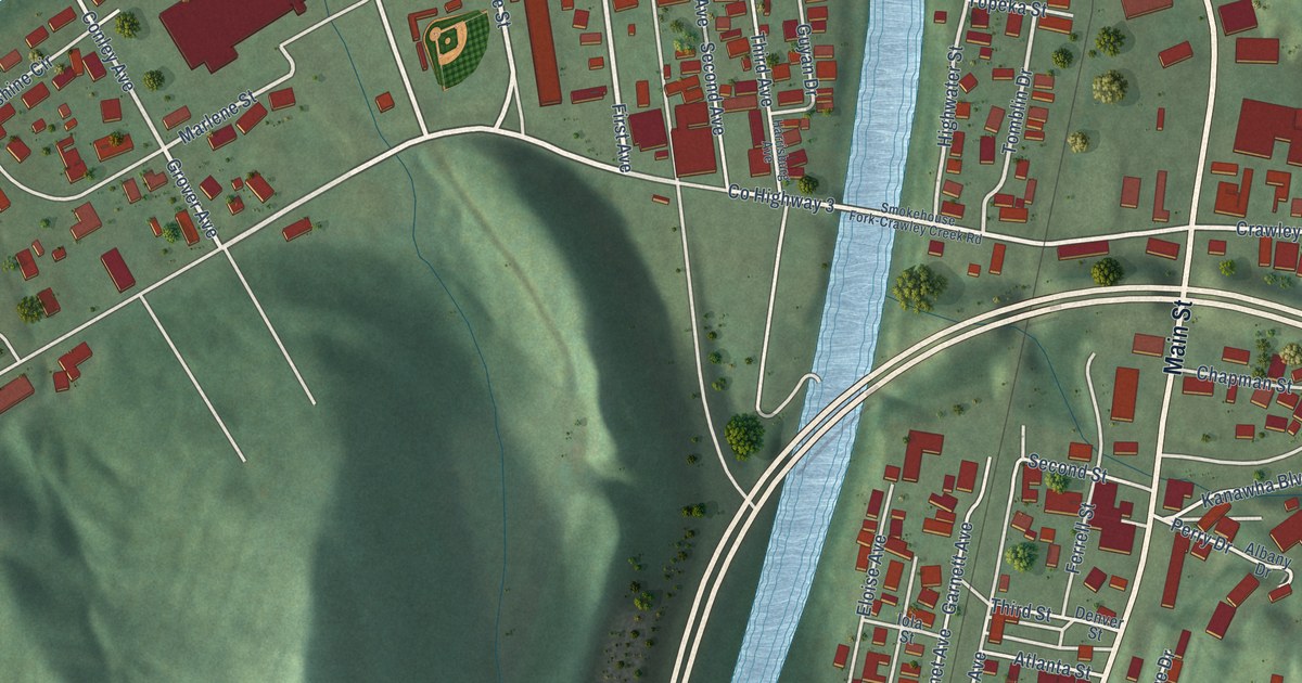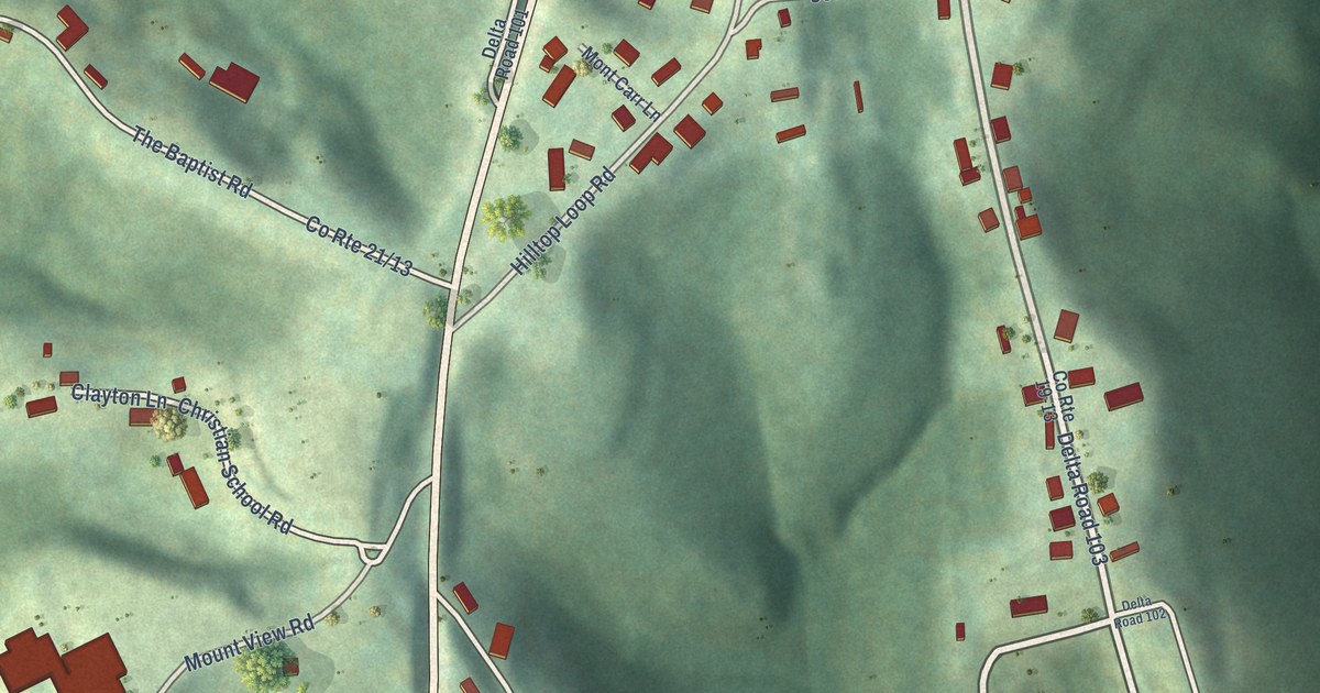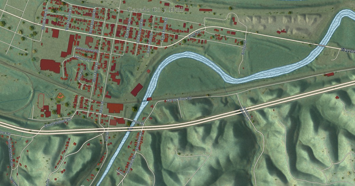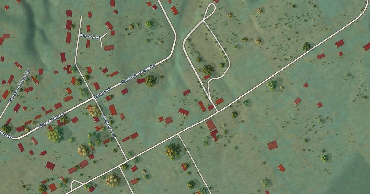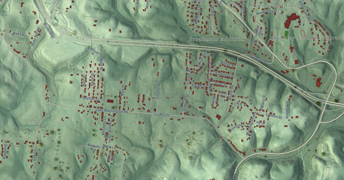
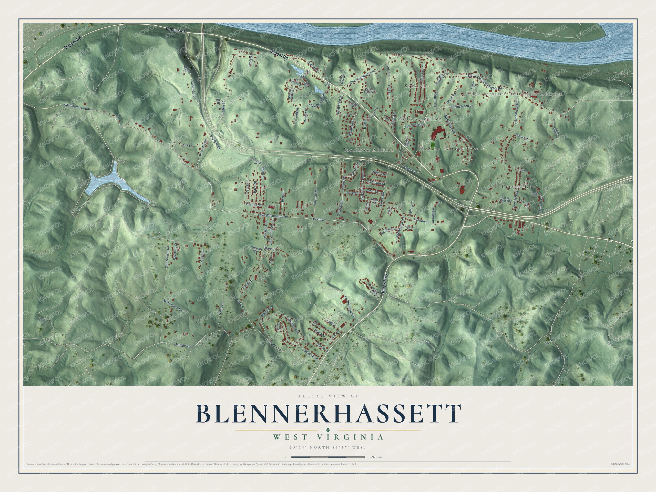
This beautifully detailed map of Blennerhassett, West Virginia was created in 2026 using aerial imagery combined with modern topographical, census, street and landmark data. It's a modern aerial view of Blennerhassett in Wood County, West Virginia, that combines modern data with a vintage aesthetic. The roads feature printed names, and if you look closely you can find your exact house accurately shown in its correct location.
Explore an aerial view of Blennerhassett, West Virginia
On this map you'll find Evandale Terrace, Blennerhassett Island View Addition, Broadmoor Addition, Somervilla, Dupont Manor, Melrose Addition, Wellsley, Dupont Road, Harris Highway, Jewell Road, Blennerhassett Heights Road, Meadow Lane, and more. Each red shape is a building, so zoom in on the preview and look for yours.
Blennerhassett is a community in Wood County. The Census Bureau counted 3,118 people here in 2020. Blennerhassett sits about 2 miles northeast of Washington, 2 miles northwest of Lubeck and 5 miles west of Parkersburg. The map prints the town name in its title panel, with the coordinates below it.
Take a closer look at the Blennerhassett map
Names on this map
These names are printed on this map.
Places: Evandale Terrace, Blennerhassett Island View Addition, Broadmoor Addition, Somervilla, Dupont Manor, Melrose Addition and Wellsley.
Streets and roads: Dupont Road, Harris Highway, Jewell Road, Blennerhassett Heights Road, Meadow Lane, Logan Lane, Washington Bottom, County Route 34, Lake Washington Road, Lakeview Avenue, River Hill Road, Maple Street.
More street names, A to Z
Amber Lane, Arnold Avenue, Berry Patch Lane, Bethal Place, Bethel Place, Bethel Road, Blennerhassett Heights, Blenn Lake Road, Blenn Wood Lane, Bluebird Drive, Brambury Court, Brierwood Drive, Chance Road, Circle Drive, Clover Lane, Cobra Lane, Cofer Street, Conger Road, County Route 30, Cumberland Road, Cummins Street, Dupont Circle, Dupont Manor Road, Eton Court, Franklin Boulevard, Grafton Street, Grand Meadows Lane, Haislop Street, Hardy Heights, Hazel Street, Heather Place, Hessie Street, Highland Avenue, Highland Lake Terrace, Hill Drive, Honeybee Drive, Honeysuckle Lane, Hoover Road, Island View Drive, Ivan Street, Judy Street, Killdeer Lane, Kill Deer Lane, Kirk Lane, Lake Ron Addition, Lake Street, Lakewood Circle, Lantern Street, Laurel Lane, Leo Lane, Lucille Lane, Lutz Drive, Lutz Lane, Main Street, Mansion Boulevard, Marie Lane, Marlin Street, McCoy Lane, Meadow Drive, Meadow Lane Circle, Meadowlark Drive, Meadow Street, Medahl Place, Meldahl Road, Mike Street, Mitchells Court, Mitchells Lane, Mitchells Way, Nicholson Lane, Oak Lane, Oakview Drive, Osborne Street, Park Drive, Paul Street, Polaris Street, Raymond Street, Renoir Drive, Ros Mar Heights, Rur Road, Sams Road, Seattle Street, Shady Pine Road, Short Street, Smitherman Road, Stout Street, Straight Street, Sun Road, Sunset Avenue, Sunset Boulevard, Sun Street, Terra Rosa Drive, Tower Road, Twin Oaks Drive, Washington Heights, Wellesley Drive.
See it on a wall
The Blennerhassett map as a framed print. Swipe for more.


Created by KNOWOL in 2026. The buildings are small red shapes, the roads carry their printed names, and shaded relief shows the shape of the land. The title panel reads "AERIAL VIEW OF BLENNERHASSETT, WEST VIRGINIA" with 39°15' NORTH 81°37' WEST.
It suits a den, a classroom or a front hall, and it makes a gift for anyone with Blennerhassett roots. Open the preview and find the block you know. See sizes and frames for the Blennerhassett map.