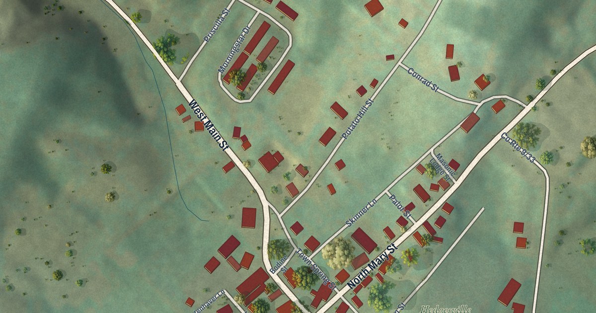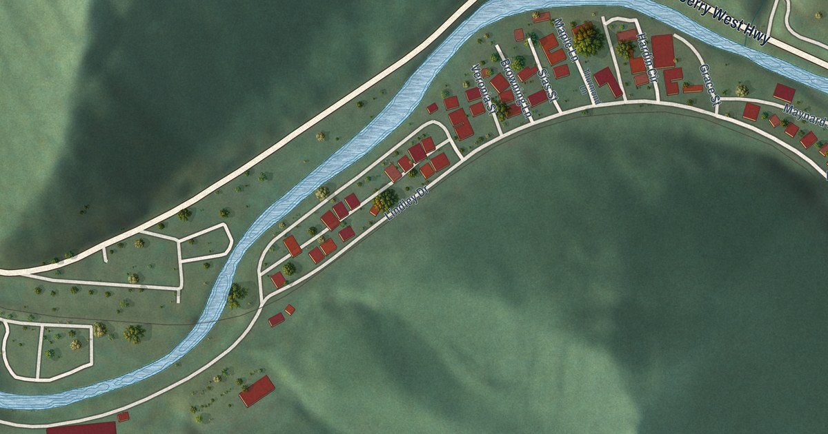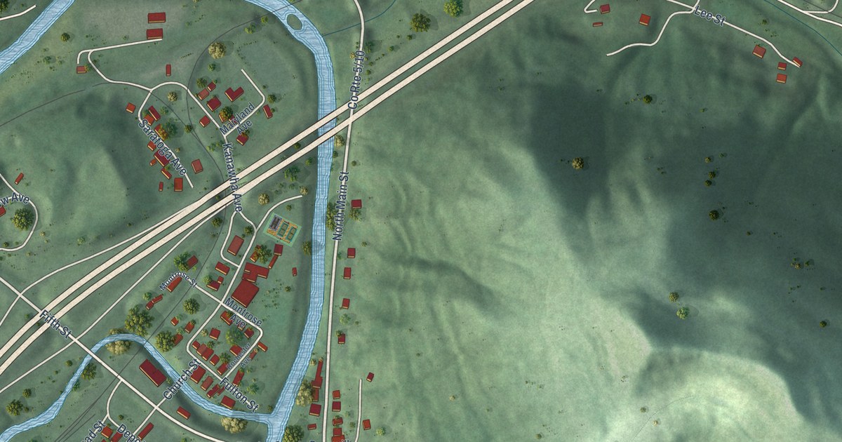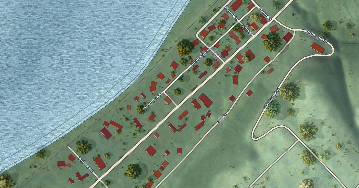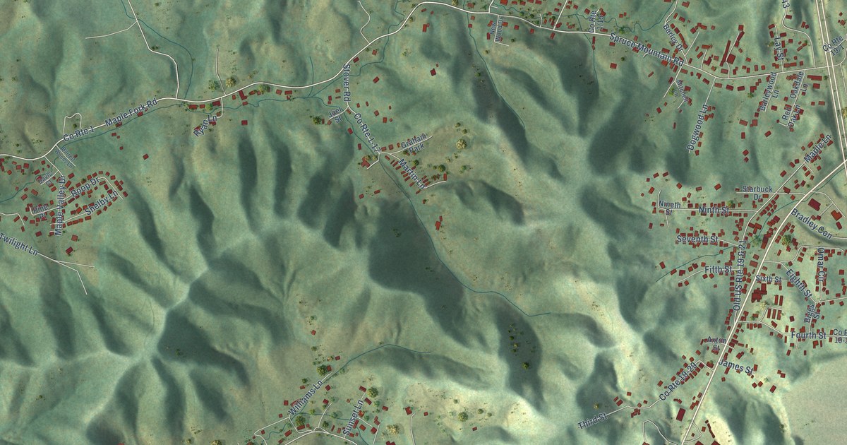
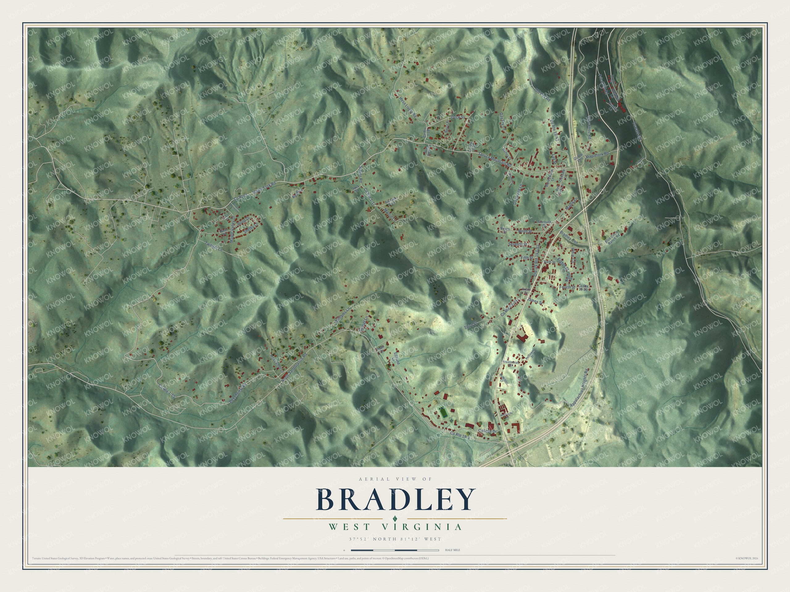
This beautifully detailed map of Bradley, West Virginia was created in 2026 using aerial imagery combined with modern topographical, census, street and landmark data. It's a modern aerial view of Bradley in Raleigh County, West Virginia, that combines modern data with a vintage aesthetic. The roads feature printed names, and if you look closely you can find your exact house accurately shown in its correct location.
Explore an aerial view of Bradley, West Virginia
On this map you'll find Spruce Mountain Road, Deck Street, Hess Lively Road, North Sandbranch Road, Old Pax Road, Beechview Road, Appalachian Heights Road, Sherwood Road, Maple Fork Road, Oswald Road, Maple Lane, Fourth Street, and more. Each red shape is a building, so zoom in on the preview and look for yours.
Bradley is a community in Raleigh County. The Census Bureau counted 1,928 people here in 2020. Bradley sits about 2 miles northwest of Prosperity, 3 miles southwest of Mount Hope and 4 miles southeast of Pax. The map prints the town name in its title panel, with the coordinates below it.
Take a closer look at the Bradley map
Names on this map
These names are printed on this map.
Places: Graham Park.
Streets and roads: Spruce Mountain Road, Deck Street, Hess Lively Road, County Route 1, North Sandbranch Road, County Route 19-3, Old Pax Road, Beechview Road, Appalachian Heights Road, County Route 1-15, Sherwood Road, Maple Fork Road.
More street names, A to Z
Appalachian Heights, Axton Street, Barley Drive, Barleywood Lane, Barrett Woods Lane, Belflower Street, Biggs Street, Blue Circle Ranch Road, Bradley Con, Byron Place, Calloway Lane, College Drive, County Route 1-17, County Route 19-29, County Route 19-30, Davis Court, Day Fry Lane, Dogwood Lane, Edmund Lane, Eighth Street, Fawn Drive, Fifth Street, Fourth Street, Halstead Lane, Hicks Knoll Lane, James Street, Joel Street, Lay Street, Maplefork Road, Maple Lane, Maple Valley Drive, Martin Lane, McMillion Court, Mitchell Lane, New Wood Drive, Nineth Street, Ninth Street, Oakdale Lane, Old US Route 19 & 21, Omar Circle, Oswald Road, Pine Place, Price Hill Road, Red Oak Lane, Roop Drive, Ryan Lane, Secondary Road, Seventh Street, Shelby Lane, Sixth Street, Starbuck Drive, Stover Road, Sunset Lane, Third Street, Tutwiler Lane, Twilight Lane, Williams Lane, Woodsprite Drive.
See it on a wall
The Bradley map as a framed print. Swipe for more.


Created by KNOWOL in 2026. The buildings are small red shapes, the roads carry their printed names, and shaded relief shows the shape of the land. The title panel reads "AERIAL VIEW OF BRADLEY, WEST VIRGINIA" with 37°52' NORTH 81°12' WEST.
It suits a den, a classroom or a front hall, and it makes a gift for anyone with Bradley roots. Open the preview and find the block you know. See sizes and frames for the Bradley map.