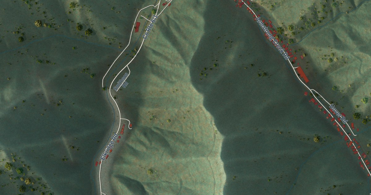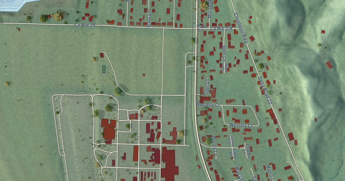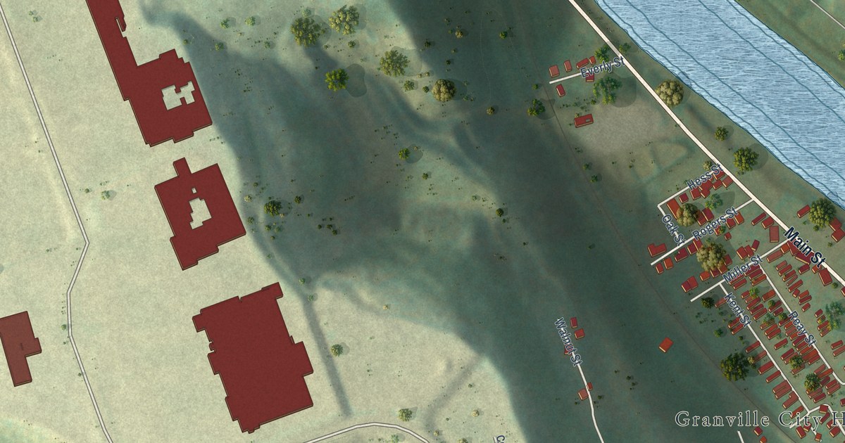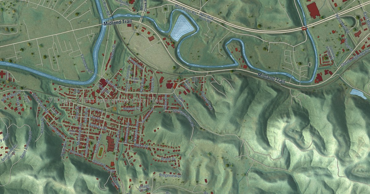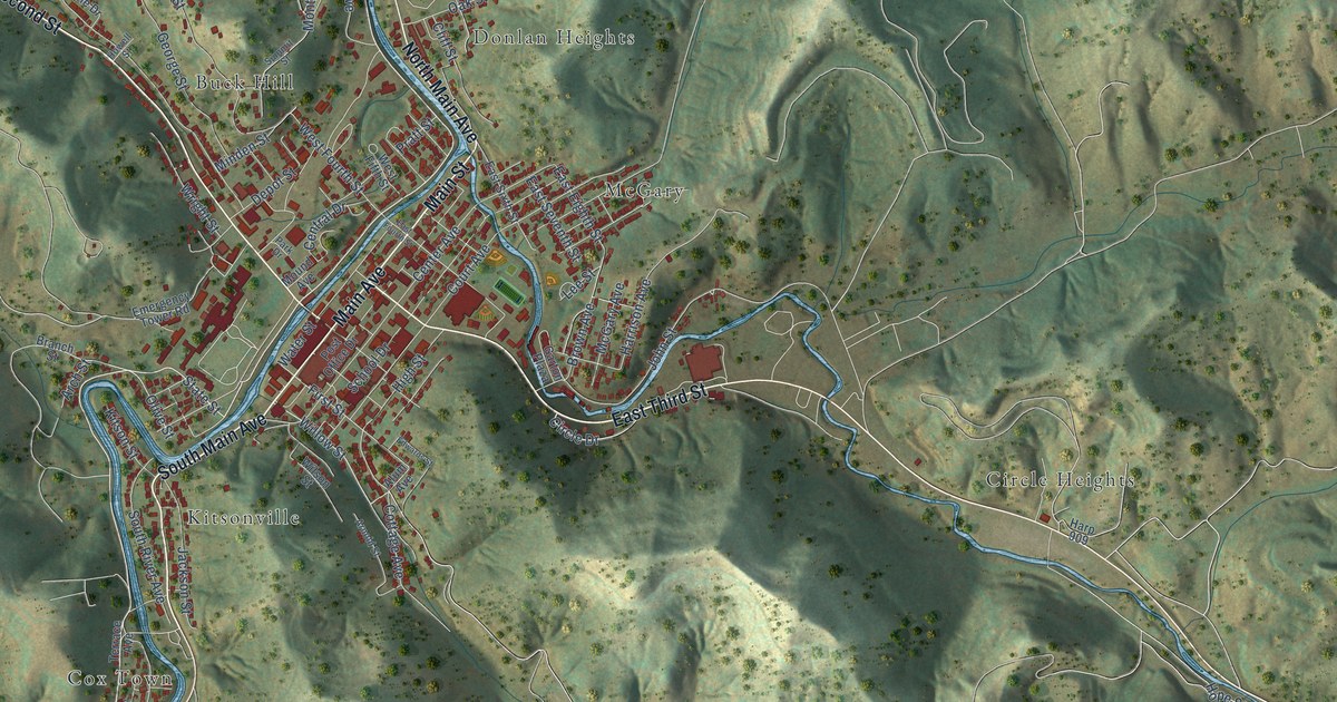
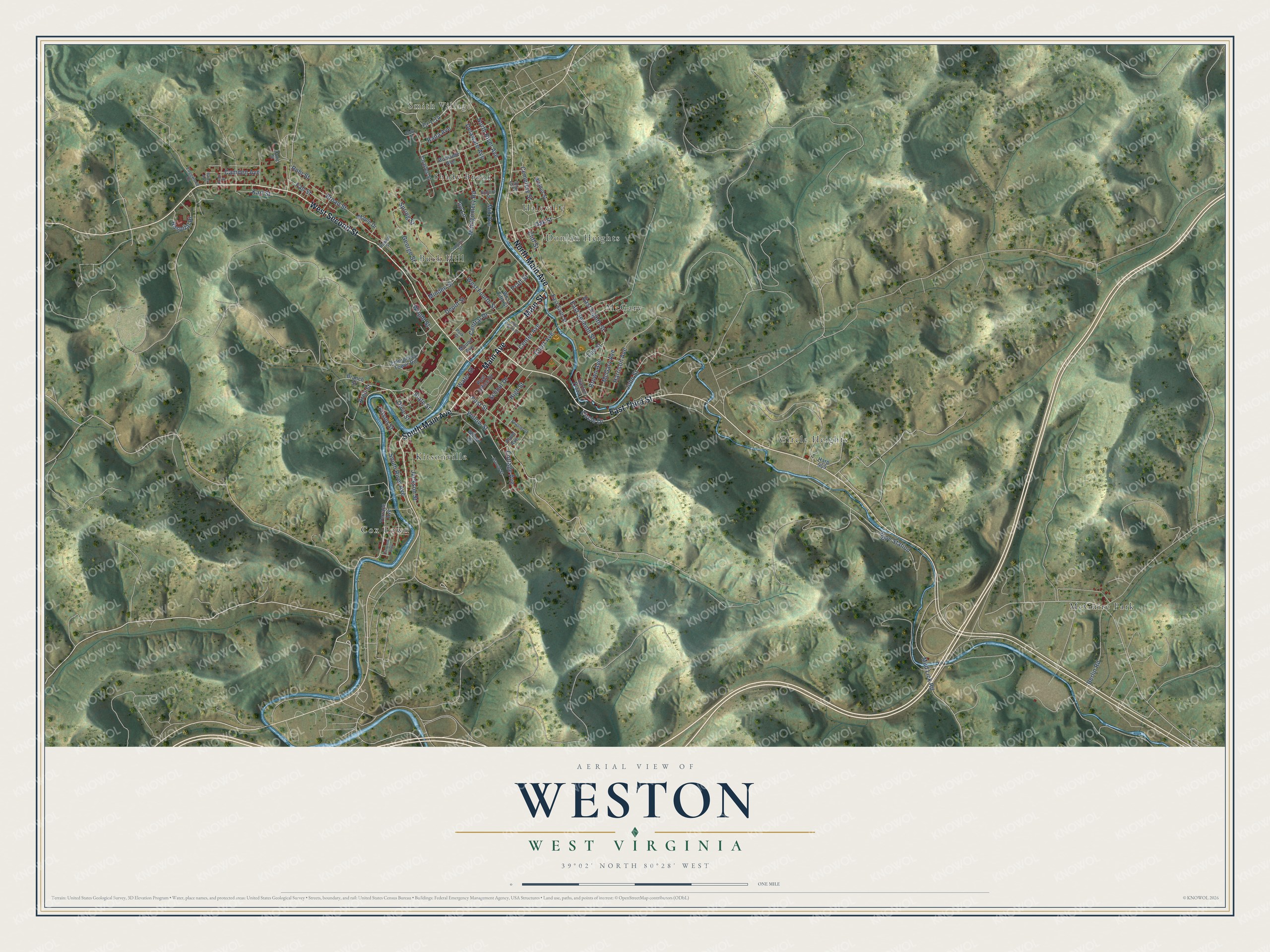
This beautifully detailed map of Weston, West Virginia was created in 2026 using aerial imagery combined with modern topographical, census, street and landmark data. It’s a one-of-a-kind view of Weston that combines accurate data with a vintage aesthetic. The map shows every building in its true location, many of the roads carry their names, and the shaded topographic relief shows the shape of the land.
Explore an aerial view of Weston, West Virginia
On the map you’ll find Smith Village, Buck Hill, Circle Heights, Cox Town, Donlan Heights, Haleville, Kitsonville, McGary, McGuire Park, and Shady Brook, along with South Main Avenue, Main Avenue, and more. If you look closely you can even find your house accurately drawn in its correct location. Zoom in on the preview to look for yours.
Did you know this piece of Weston, West Virginia history?
Weston’s business district grew steadily for a century, following the original plans of the city’s surveyor. The surveyor was Colonel Edward Jackson. His grandson was Stonewall Jackson. A few of the town’s Victorian homes belonged to retired farmers who had made fortunes in oil. That’s from the 1941 WPA guide to West Virginia.
Take a closer look at the Weston map
Street and place names on the Weston, West Virginia map
These names are printed on the map of Weston, West Virginia.
Places: Smith Village, Buck Hill, Circle Heights, Cox Town, Donlan Heights, Haleville, Kitsonville, McGary, McGuire Park and Shady Brook.
Streets and roads: South Main Avenue, Main Avenue, Main Street, North Main Avenue, East Third Street, West Second Street, North River Avenue, State Street, Willow Street, Arch Street, Olive Street, Cottage Avenue.
More street names, A to Z
Alum Avenue, Arnold Street, Bailey Avenue, Berlin Road, Branch Street, Broad Street, Brown Avenue, Burnside Avenue, Camden Avenue, Cemetery Street, Center Avenue, Central Drive, Charles Street, Circle Drive, Cliff Street, Cody Lane, Court Avenue, Craig Street, Crescent Alley, Delaware Avenue, Depot Street, East Eighth Street, East Fourth Street, East Seventh Street, East Sixth Street, Edgewood Drive, Edwards Street, Emergency Tower Road, Fall Street, First Street, Garton Plaza, Gay Street, George Street, Harp 909, Harrison Avenue, High Street, Hope Station, Hospital Place, Howell Street, Ivy Lane, Jackson Street, John Street, Karl Street, Kitson Street, Kuntz Street, Lee Street, Maple Drive, McGary Avenue, Mid Avenue, Minden Street, Montgomery Road, Mound Avenue, Mud Lick Road, Oak Street, Park Drive, Post Office Drive, Pratt Street, Rada Avenue, Rohr Street, School Drive, School Street, South River Avenue, Spring Street, Summit Street, Terrace Avenue, Walnut Street, Water Street, West Fifth Street, West Fourth Street, Wilson Street, Wright Street.
See the Weston, West Virginia map on a wall
The Weston map as an 18 x 24 inch print in a black frame.

This beautifully detailed map of Weston makes an attractive addition to your office, library, or den, and it can even be used to teach children the geography and history of the area. It also makes a great gift for anyone with Weston roots. When you’re done exploring, click here to get your copy of the Weston map.