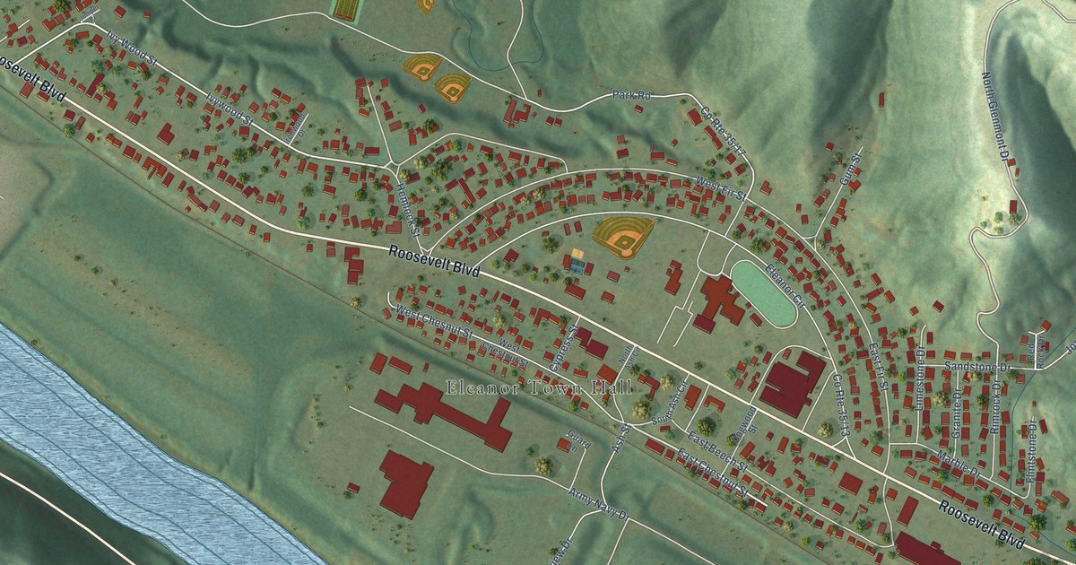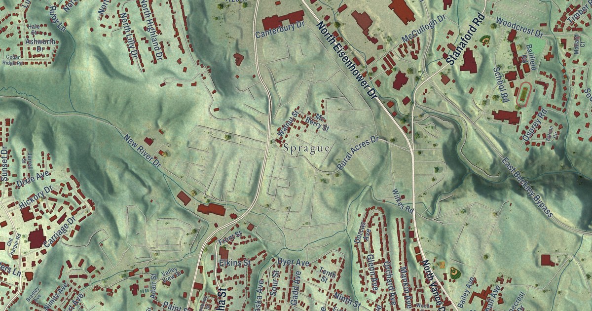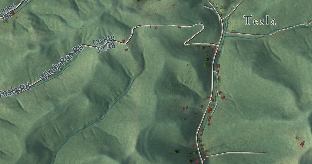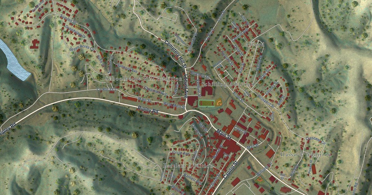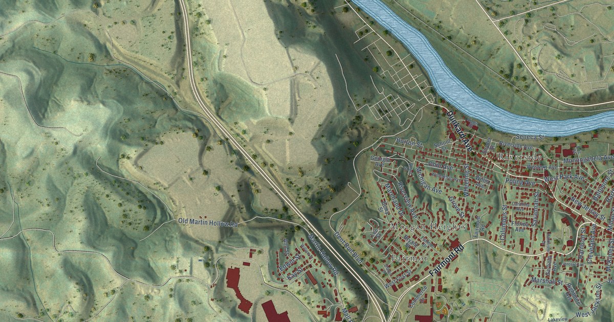
This beautifully detailed map of Westover, West Virginia was created in 2026 using aerial imagery combined with modern topographical, census, street and landmark data. It’s a one-of-a-kind view of Westover that combines accurate data with a vintage aesthetic. The map shows every building in its true location, many of the roads carry their names, and the shaded topographic relief shows the shape of the land.
Explore an aerial view of Westover, West Virginia
On the map you’ll find Fairmor, Morgan Heights, and Riverside, along with Fairmont Road, Holland Avenue, Dunkard Avenue, Chaplin Road, Ohio Avenue, Dent Run Boulevard, Lawless Road, Solomon Road, Dupont Road, and more. If you look closely you can even find your house accurately drawn in its correct location. Zoom in on the preview to look for yours.
Did you know this piece of Westover, West Virginia history?
From the West Virginia Encyclopedia: "Once known as the West Side, Westover was incorporated in 1911. The city grew dramatically in spurts during the 1920s and 1940s."
Take a closer look at the Westover map
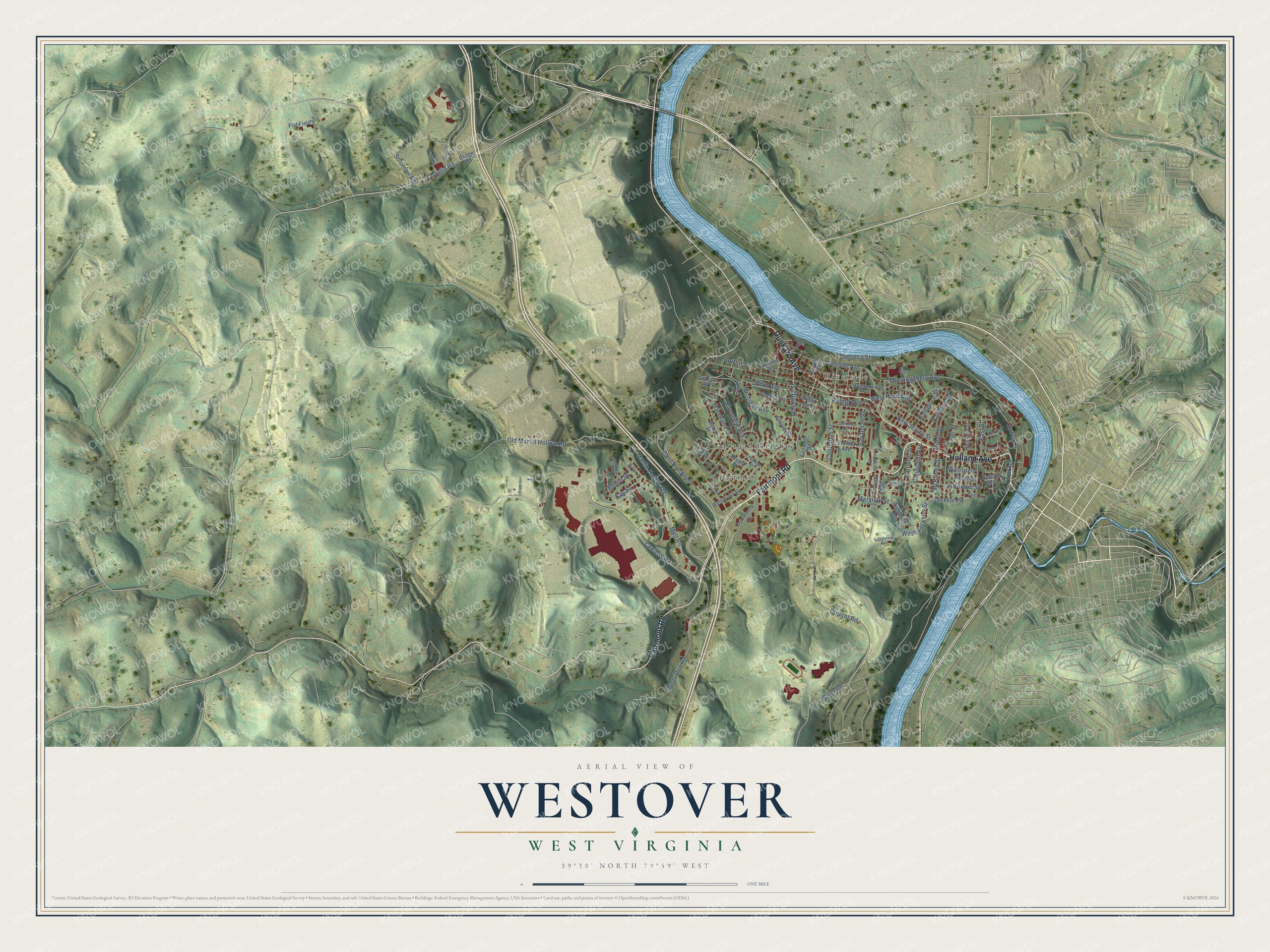
Street and place names on the Westover, West Virginia map
These names are printed on the map of Westover, West Virginia.
Places: Fairmor, Morgan Heights and Riverside.
Streets and roads: Fairmont Road, Holland Avenue, Dunkard Avenue, Chaplin Road, Ohio Avenue, Dent Run Boulevard, Lawless Road, Solomon Road, Dupont Road, Monongahela Avenue, West Park Avenue, Dents Run Road.
More street names, A to Z
Ann Street, Baltimore Street, Bryant Street, Burton Street, Carolina Avenue, Cleveland Avenue, Columbus Street, Commerce Drive, Delta Road 31, Dewy Street, East Street, Edwin Street, Eric Street, Fairmor Drive, Flat Field Lane, Florida Avenue, Front Avenue, Gans Avenue, Garfield Avenue, Georgia Avenue, Grove Street, Harrison Street, Hartford Street, Harvey Street, Highland Street, Jackson Street, Jefferson Street, Kay Street, Lakeview Avenue, Lane Street, Lee Street, Mall Road, Malone Drive, Marchand Drive, Marshall Street, Martin Hallow Road, McKinley Street, Michigan Avenue, Millan Street, New Jersey Street, Old Martin Hollow Road, Osage Road, Parkview Drive, Pierce Street, Poling Avenue, Riggs Street, Rightmire Avenue, River Road, Riverside Avenue, Riverview Avenue, Savannah Street, School Street, Second Alley, Seneca Street, Sharon Street, Short Street, Snyder Street, Tower Lane, Tyler Street, Vincent Avenue, Western Avenue, West First Street, West Jackson Street, Wheeling Street, William Street, Willis Avenue, Wilson Street, Wisconsin Avenue.
See the Westover, West Virginia map on a wall
The Westover map as an 18 x 24 inch print in a black frame.

This beautifully detailed map of Westover makes an attractive addition to your office, library, or den, and it can even be used to teach children the geography and history of the area. It also makes a great gift for someone who left Westover and still calls it home. When you’re done exploring, click here to get your copy of the Westover map.