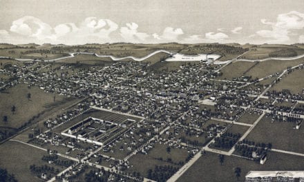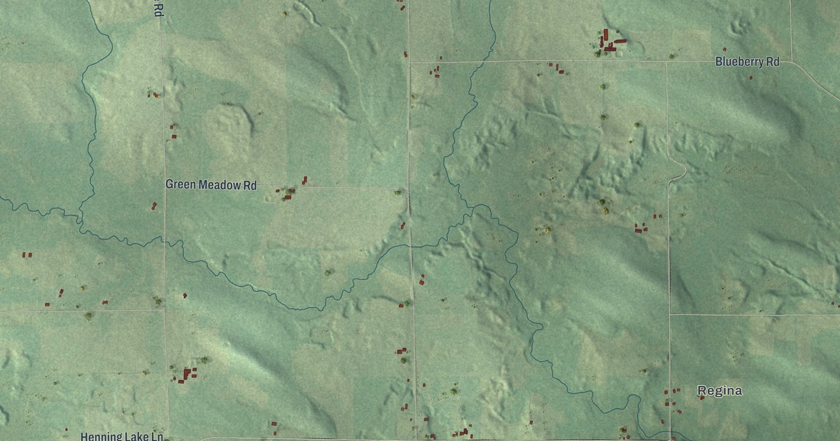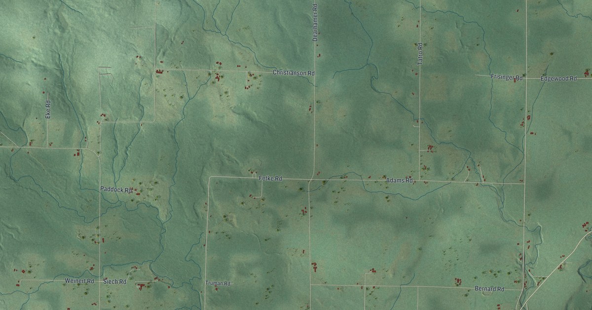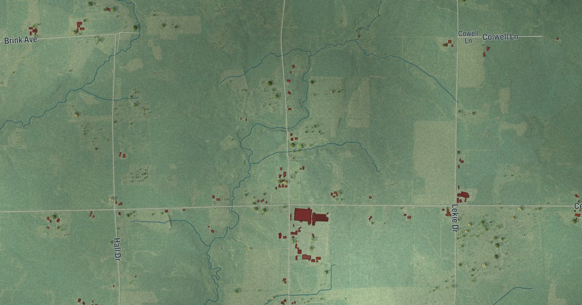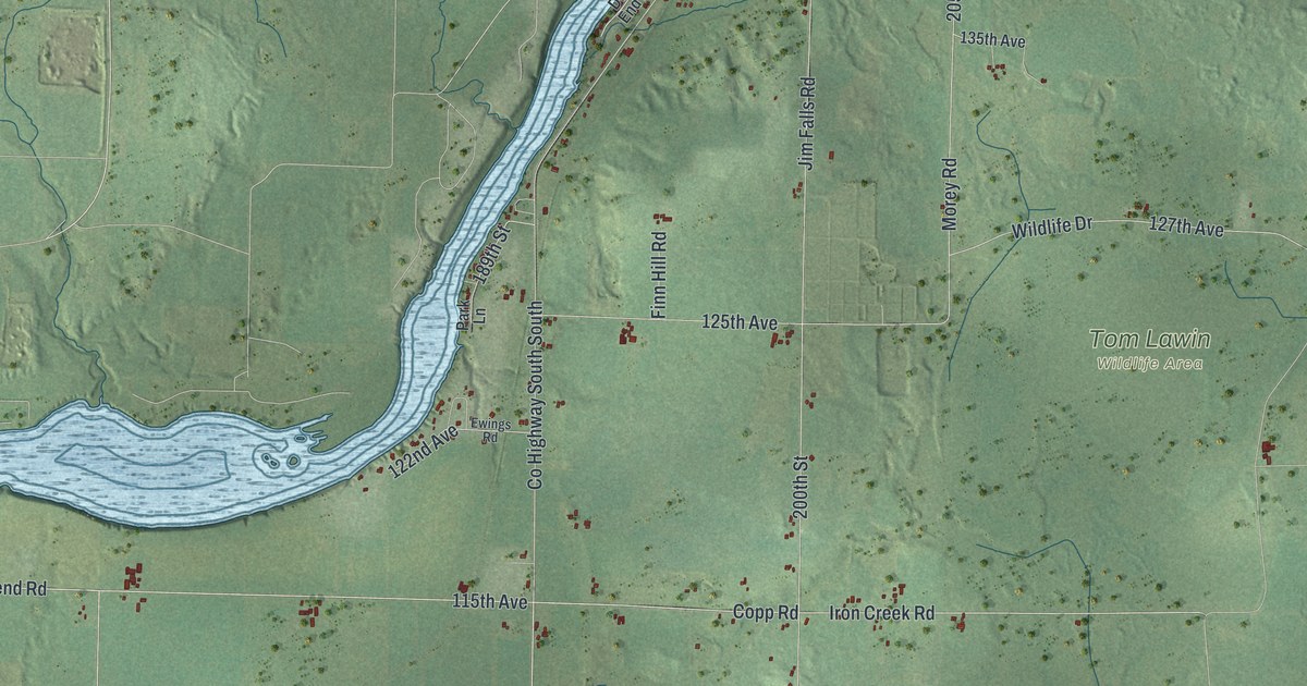
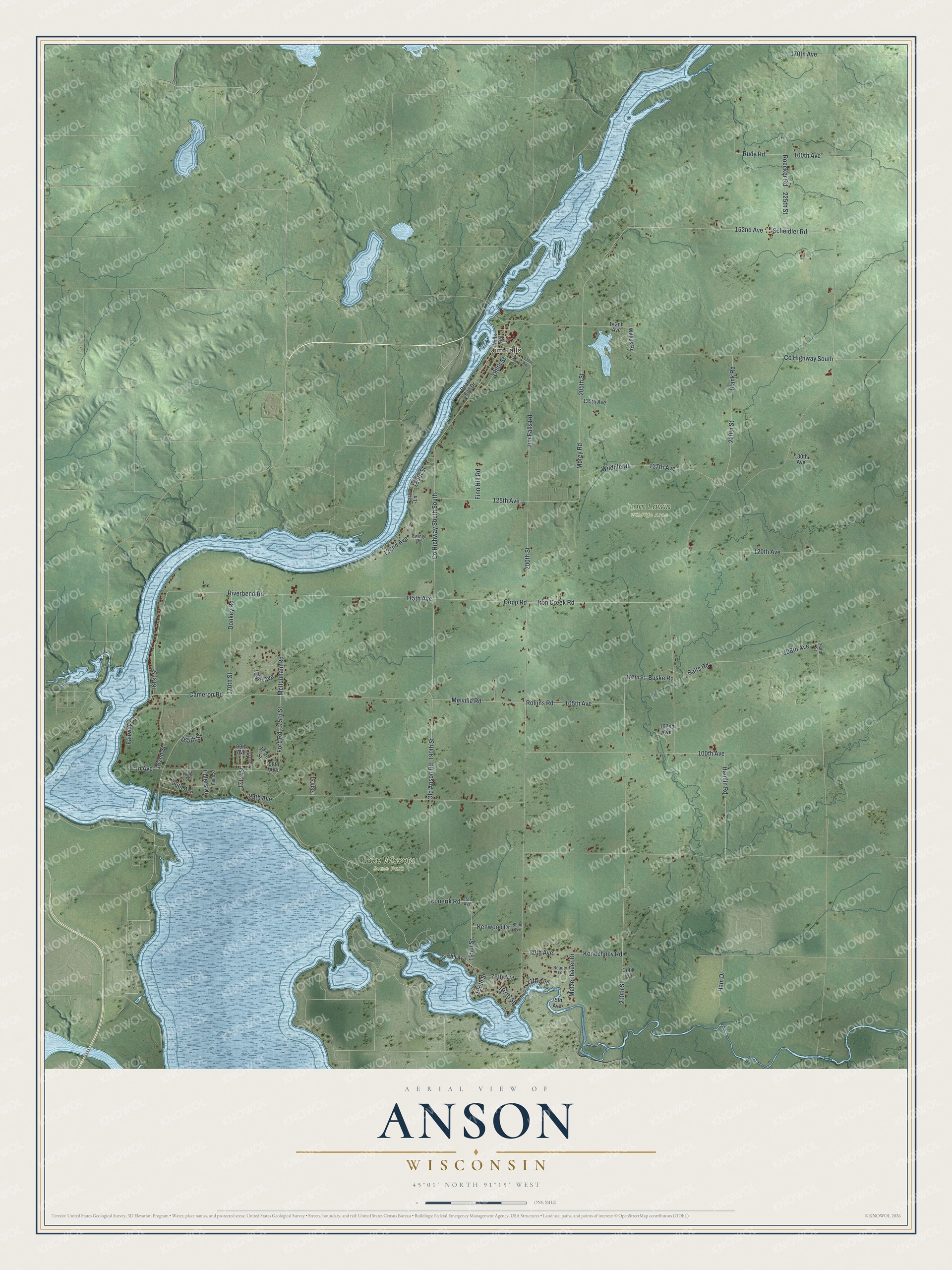
This beautifully detailed map of Anson, Wisconsin was created in 2026 using aerial imagery combined with modern topographical, census, street and landmark data. It's a modern aerial view of Anson in Chippewa County, Wisconsin, that combines modern data with a vintage aesthetic. The roads feature printed names, and if you look closely you can find your exact house accurately shown in its correct location.
Explore an aerial view of Anson, Wisconsin
On this map you'll find Jim Falls, Lake Wissota State Park, Tom Lawin Wildlife Area, 195th Street, Riverbend Road, Kenwood Drive, Konerik Road, Fairway Court, Copp Road, Konechney Road, Hamlin Road, Iron Creek Road, and more. Each red shape is a building, so zoom in on the preview and look for yours.
Anson is a town in Chippewa County. The Census Bureau counted 2,297 people here in 2020. The map prints the town name in its title panel, with the coordinates below it.
Take a closer look at the Anson map
Names on this map
These names are printed on this map.
Places: Jim Falls, Lake Wissota State Park and Tom Lawin Wildlife Area.
Streets and roads: 195th Street, Riverbend Road, Kenwood Drive, Konerik Road, Fairway Court, Copp Road, County Highway South South, Konechney Road, Hamlin Road, Iron Creek Road, McIlquham Road, 171st Street.
More street names, A to Z
75th Avenue, 77th Avenue, 78th Avenue, 79th Avenue, 80th Avenue, 82nd Avenue, 85th Avenue, 95th Avenue, 96th Avenue, 97th Avenue, 98th Avenue, 99th Avenue, 100th Avenue, 102nd Avenue, 105th Avenue, 107th Street, 108th Avenue, 109th Avenue, 115th Avenue, 120th Avenue, 122nd Avenue, 125th Avenue, 127th Avenue, 130th Avenue, 135th Avenue, 139th Avenue, 142nd Avenue, 152nd Avenue, 160th Avenue, 161st Street, 162nd Street, 165th Street, 166th Street, 168th Street, 170th Avenue, 170th Street, 173rd Street, 175th Street, 178th Street, 189th Street, 190th Street, 196th Street, 197th Street, 198th Street, 200th Street, 205th Street, 210th Street, 220th Street, 225th Street, 230th Street, Balts Road, Beauty Lane, Blank Road, Buske Road, Cameron Road, Cole Road, County Highway South, Dead End Drive, Donkey Road, Ehlers Drive, Ewings Road, Finn Hill Road, Ford Road, Fox Drive, Ham Drive, Jim Falls Road, Melville Road, Metzenbauer Drive, Mills Road, Morey Road, Old Anson Road, Park Lane, Roecker Road, Rollins Road, Rudy Road, Scheidler Road, Shaw Drive, Wildlife Drive, Witkus Road.
Created by KNOWOL in 2026. The buildings are small red shapes, the roads carry their printed names, and shaded relief shows the shape of the land. The title panel reads "AERIAL VIEW OF ANSON WISCONSIN" with 45°01' NORTH 91°15' WEST.
It looks right in a kitchen, an office or a den, and it's a gift for anyone who grew up in Anson or moved away. Open the preview and find your street. See sizes and frames for the Anson map.