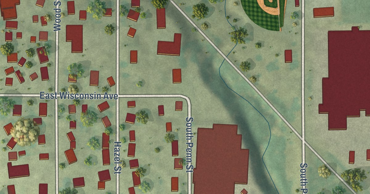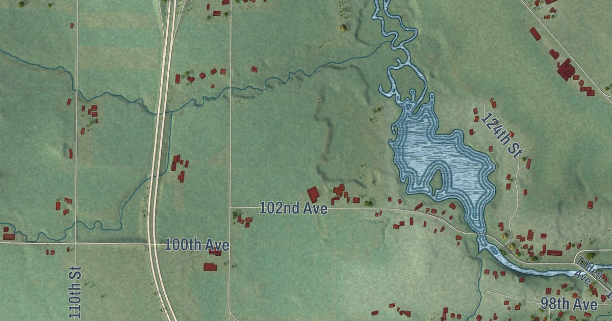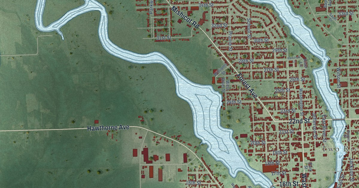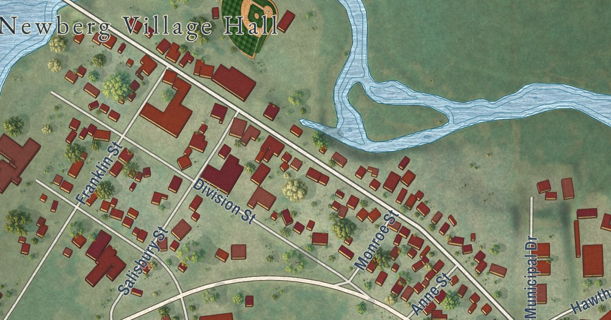
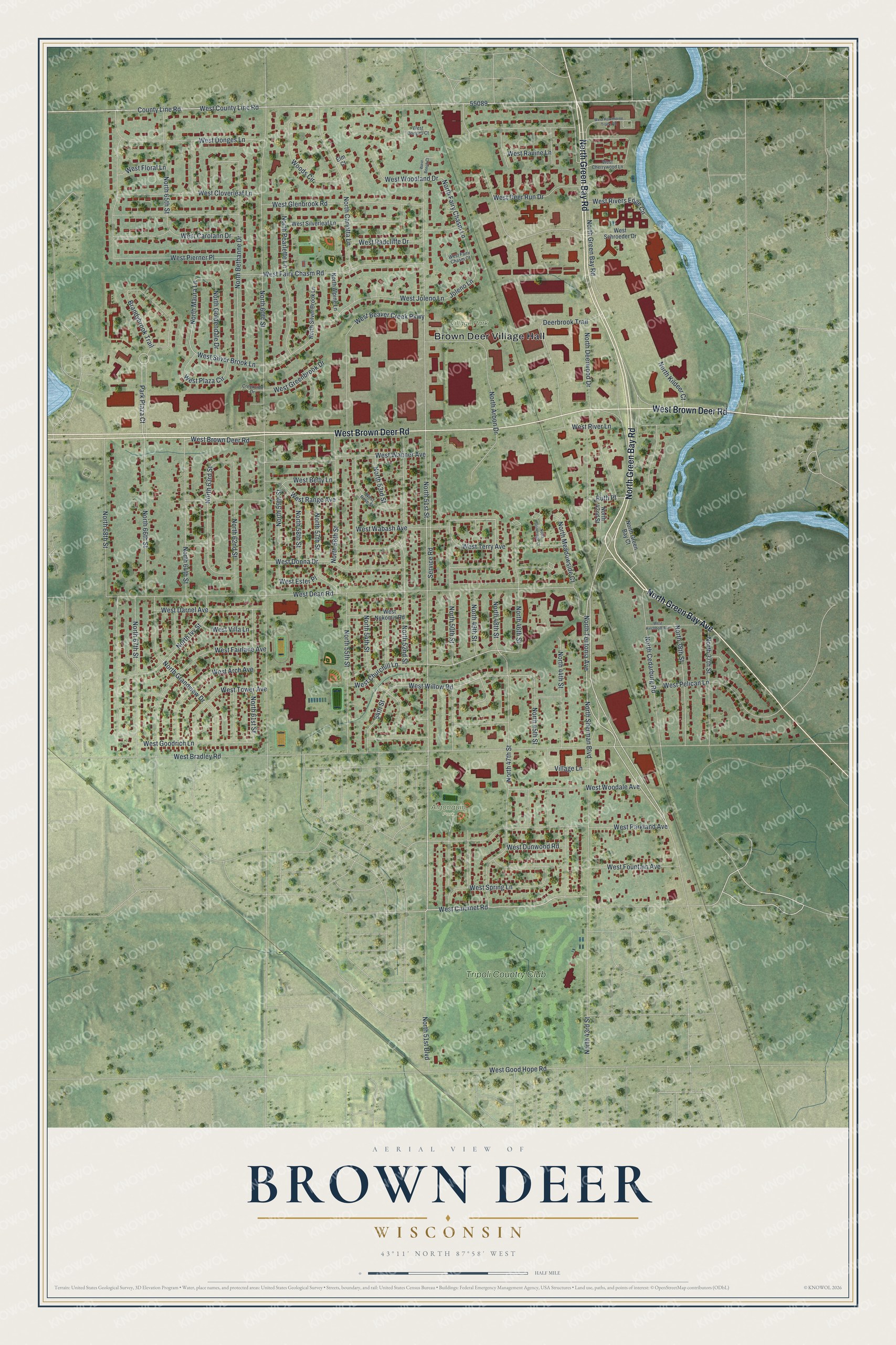
This beautifully detailed map of Brown Deer, Wisconsin was created in 2026 using aerial imagery combined with modern topographical, census, street and landmark data. It’s a one-of-a-kind view of Brown Deer that combines accurate data with a vintage aesthetic. The map shows every building in its true location, many of the roads carry their names, and the shaded topographic relief shows the shape of the land.
Explore an aerial view of Brown Deer, Wisconsin
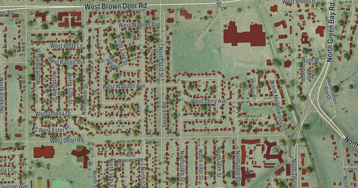
On the map you’ll find Brown Deer Village Hall, Algonquin Park, Village Park, and Tripoli Country Club, along with North Green Bay Road, West Brown Deer Road, North Green Bay Avenue, North 51st Street, North 51st Boulevard, North Teutonia Avenue, West Calumet Road, West Wabash Avenue, and more. If you look closely you can even find your house accurately drawn in its correct location. Zoom in on the preview to look for yours.
Did you know this piece of Brown Deer, Wisconsin history?
From the Encyclopedia of Milwaukee: "By 1876, a hamlet named Brown Deer arose near the present intersection of Brown Deer Road and Deerwood Drive."
Take a closer look at the Brown Deer map
Street and place names on the Brown Deer, Wisconsin map
These names are printed on the map of Brown Deer, Wisconsin.
Places: Brown Deer Village Hall, Algonquin Park, Village Park and Tripoli Country Club.
Streets and roads: North Green Bay Road, West Brown Deer Road, North Green Bay Avenue, North 51st Street, North 51st Boulevard, North Teutonia Avenue, West Calumet Road, West Wabash Avenue, West Tower Avenue, West Churchill Lane, West County Line Road, Park Plaza Court.
More street names, A to Z
54th Street, Brandybrook Trail, County Line Road, Creekside Drive, Deerbrook Trail, Elm Court, Joleno Lane, North 37th Street, North 38th Street, North 42nd Street, North 43rd Street, North 44th Street, North 45th Street, North 46th Street, North 47th Street, North 48th Street, North 49th Street, North 50th Street, North 52nd Street, North 53rd Street, North 54th Street, North 55th Street, North 56th Street, North 57th Street, North 58th Street, North 59th Street, North 60th Street, North 61st Street, North 62nd Street, North 63rd Street, North 64th Street, North 65th Street, North 66th Street, North 67th Street, North 68th Street, North Alpine Lane, North Arbon Drive, North Bethanne Drive, North Carlotta Lane, North Cedarburg Road, North Deerwood Drive, North Fairy Chasm Lane, North Goldendale Drive, North Grandview Drive, North Green Bay Court, North Ivy Street, North Kildeer Court, North Maura Lane, North Meadowside Court, North Pearlette Lane, North Sherman Boulevard, North Silver Brook Lane, North Stoneridge Court, Ruth Place, Service Road, Village Lane, West Arch Avenue, West Beaver Creek Parkway, West Beech Court, West Betty Lane, West Bradley Road, West Carolann Drive, West Cherrywood Lane, West Cloverleaf Lane, West Darnel Avenue, West Dean Road, West Deer Run Drive, West Donges Court, West Donges Lane, West Donna Drive, West Dunwood Road, West Ester Place, West Fairlane Avenue, West Fairy Chasm Court, West Fairy Chasm Road, West Floral Lane, West Fountain Avenue, West Glenbrook Road, West Good Hope Road, West Goodrich Lane, West Greenbrook Drive, West Hawthorne Trace Road, West Joleno Lane, West Kirchhoff Avenue, West Nokomis Road, West Parkland Avenue, West Pelican Lane, West Pierner Place, West Plaza Circle, West Radcliffe Drive, West Range Avenue, West Ravine Lane, West River Lane, West Rivers Edge Circle, West Rose Street, West Schroeder Drive, West Silver Brook Lane, West Silverleaf Lane, West Spring Lane, West Terry Avenue, West Villa Lane, West Wahner Avenue, West Willow Road, West Woodale Avenue, West Woodland Drive, Woods Circle.
See the Brown Deer, Wisconsin map on a wall
The Brown Deer map as an 18 x 24 inch print in a black frame.

This beautifully detailed map of Brown Deer makes an attractive addition to your office, library, or den, and it can even be used to teach children the geography and history of the area. It also makes a great gift for someone who left Brown Deer and still calls it home. When you’re done exploring, click here to get your copy of the Brown Deer map.