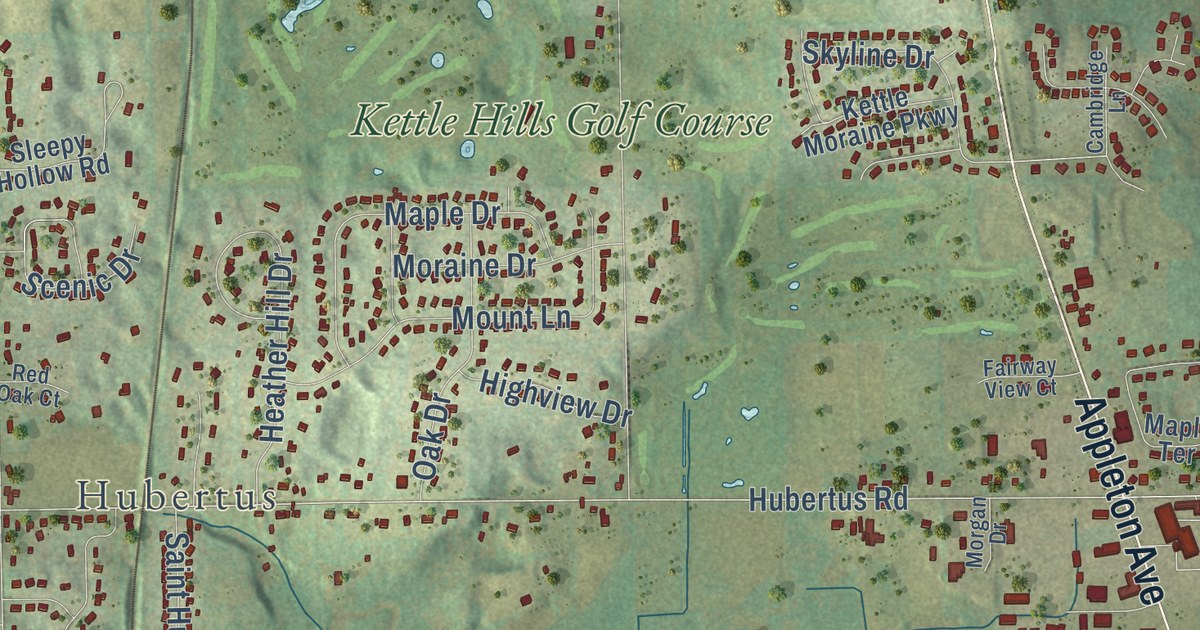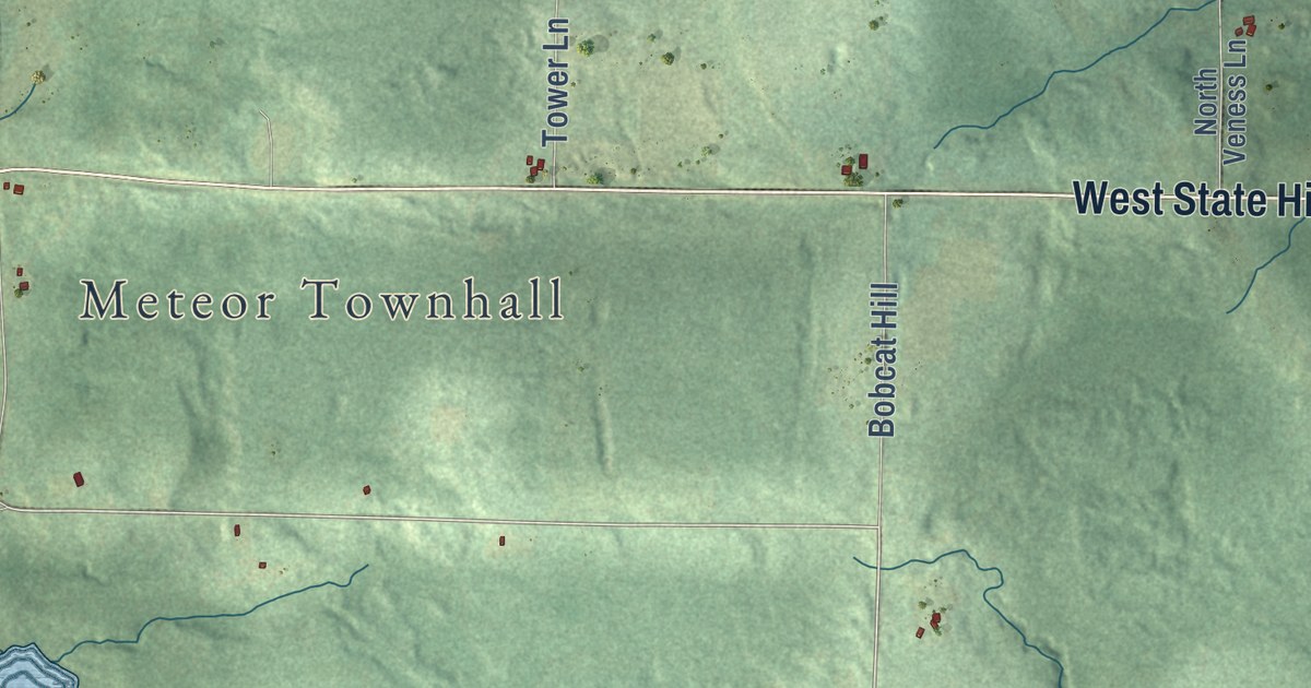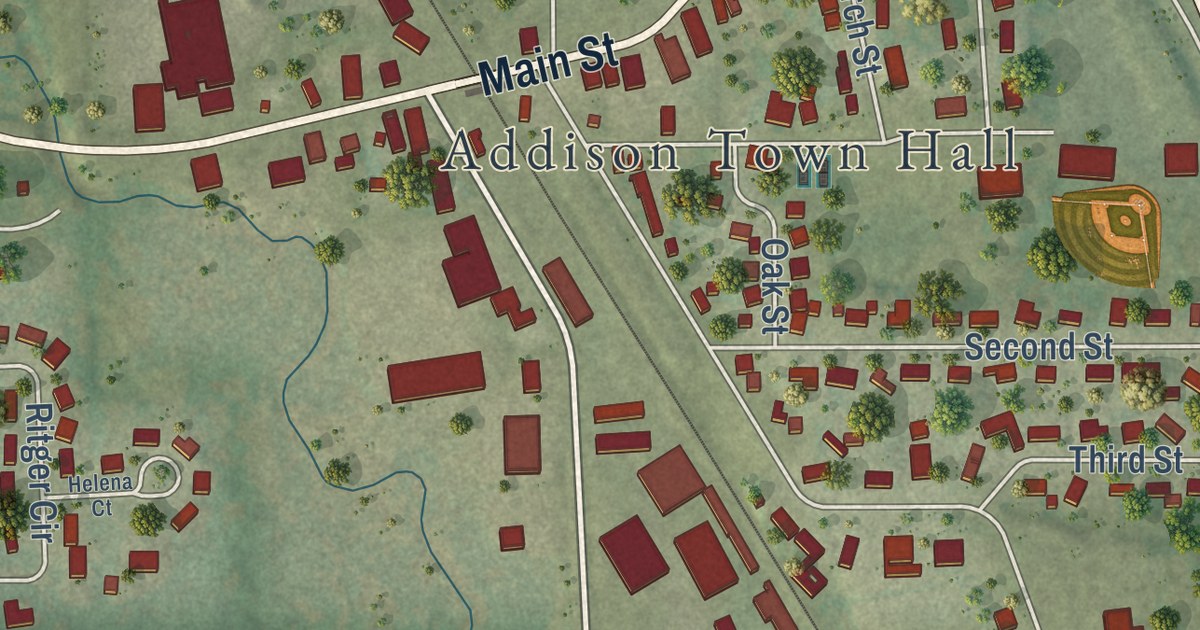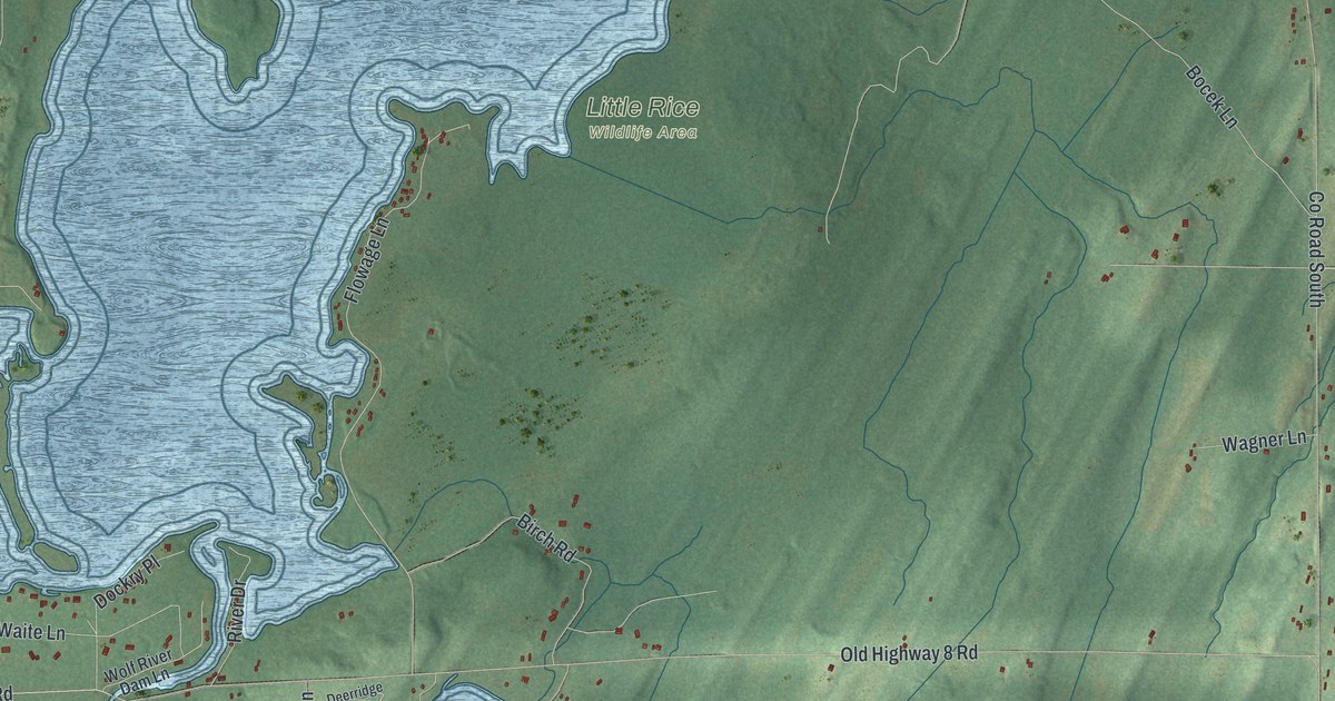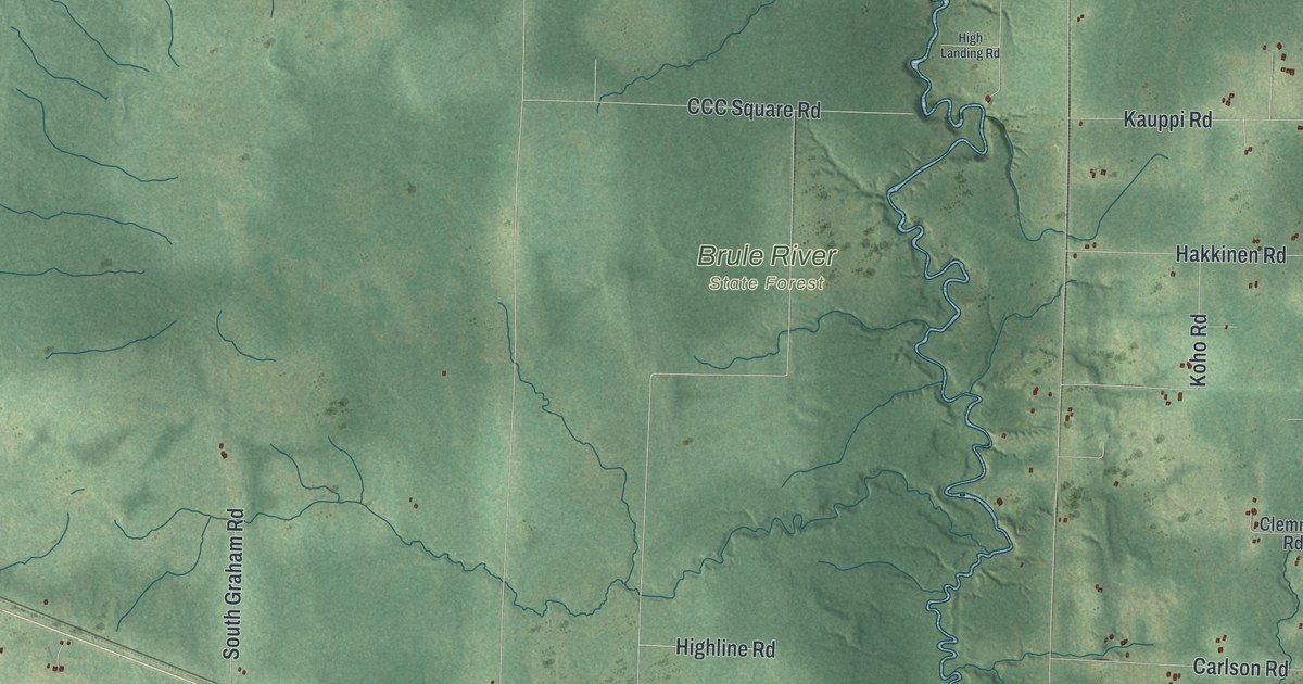
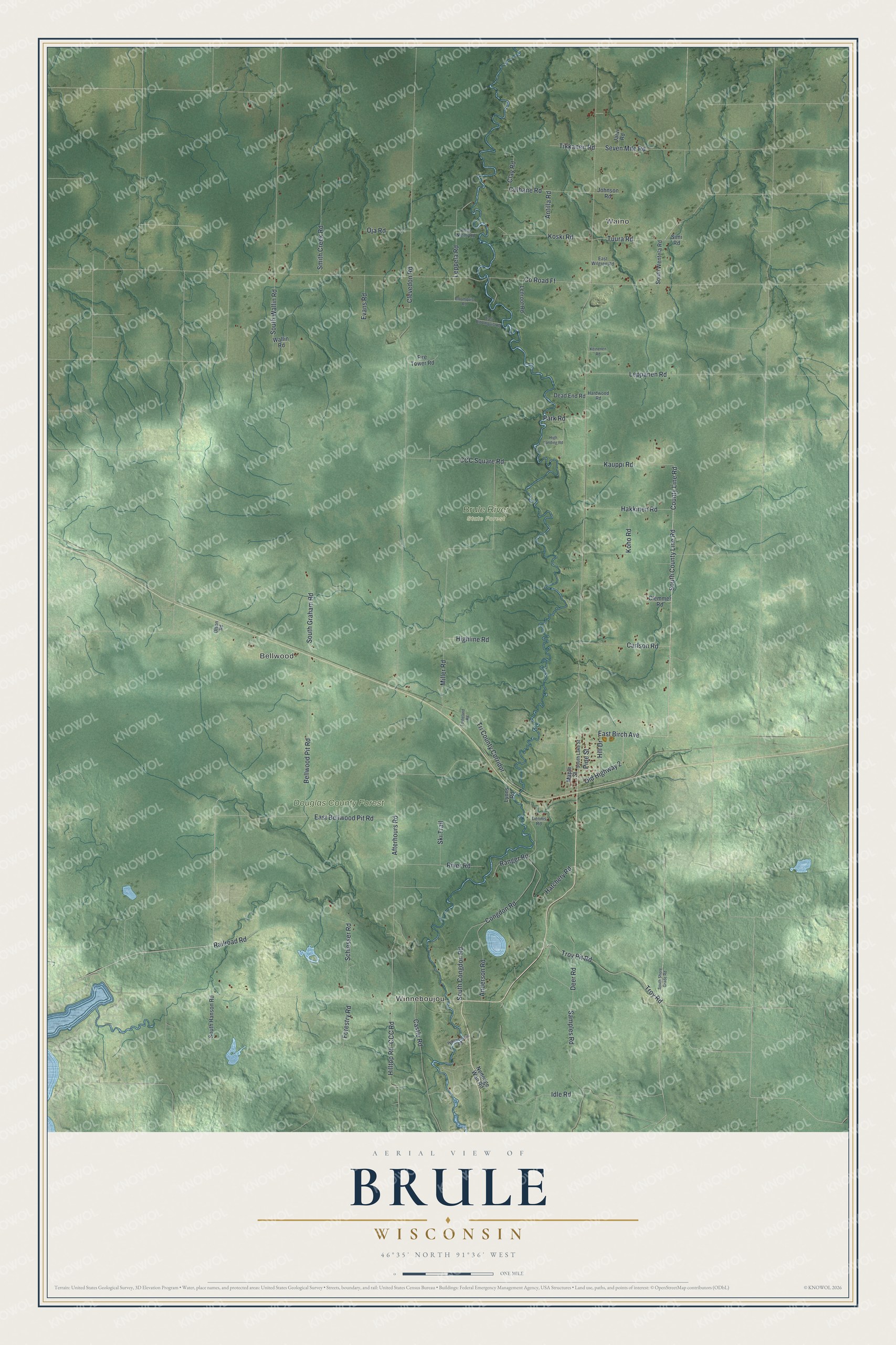
This beautifully detailed map of Brule, Wisconsin was created in 2026 using aerial imagery combined with modern topographical, census, street and landmark data. It’s a one-of-a-kind view of Brule that combines accurate data with a vintage aesthetic. The map shows every building in its true location, many of the roads carry their names, and the shaded topographic relief shows the shape of the land.
Explore an aerial view of Brule, Wisconsin
On the map you’ll find Winneboujou, Waino, Bellwood, Brule River State Forest, Douglas County Forest, and Tri County Corridor, along with County Line Road, South County Line Road, Old Highway 2, East Birch Avenue, Bellwood Pit Road, Railroad Road, and more. If you look closely you can even find your house accurately drawn in its correct location. Zoom in on the preview to look for yours.
Did you know this piece of Brule, Wisconsin history?
President Calvin Coolidge spent the summer of 1928 at Cedar Island, a fishing lodge on the Brule River near Brule. Townspeople got ready by building arches of rough native timber over the main road. The Congregational Church got fresh paint and a new roof. That summer, Coolidge learned to fly fish and paddle a birch bark canoe. That’s from the WXPR public radio.
Take a closer look at the Brule map
Street and place names on the Brule, Wisconsin map
These names are printed on the map of Brule, Wisconsin.
Places: Winneboujou, Waino, Bellwood, Brule River State Forest and Douglas County Forest.
Streets and roads: County Line Road, South County Line Road, Old Highway 2, East Birch Avenue, Bellwood Pit Road, Railroad Road, Tri County Corridor, Seven Mile Road, Clevedon Road, County Road Ff, Afterhours Road, Miller Road.
More street names, A to Z
Anderson Road, Anna Niemi Road, Antilla Road, Bloomquist Road, Carlson Road, Castle Road, CCC Road, CCC Square Road, Clay Road, Clemmer Road, Congdon Road, Culhane Road, Dead End Road, Deer Road, Dennis Road, East Bellwood Pit Road, East Bloomquist Road, East Wilgren Road, Evans Road, Fasteland Road, Fire Tower Road, Forestry Road, Hakkinen Road, Hardwood Road, Hatchery Road, High Landing Road, Highline Road, Hill Drive, Hilltop Road, Idle Road, Jarvi Road, Johnson Road, Kauppi Road, Keinenen Road, Koho Road, Koski Road, Lenroot Road, Leppanen Road, Leppela Road, Lyons Road, Maple Street, Nedodge Wan Road, Oja Road, Olson Road, Park Road, Pine Street, Ranger Road, River Road, Samples Road, Schiesser Road, Simi Road, Ski Trail, Smith Creek Road, South Congdon Road, South Graham Road, South Hanson Road, South Lake Street, South Shore Grade Road, South Wallin Road, South Wentela Road, Tikkanen Road, Troy Pit Road, Troy Road, Tuura Road, Wallin Road, Winneboujou Road.
See the Brule, Wisconsin map on a wall
The Brule map as an 18 x 24 inch print in a black frame.

This beautifully detailed map of Brule makes an attractive addition to your office, library, or den, and it can even be used to teach children the geography and history of the area. It also makes a great gift for anyone with Brule roots. When you’re done exploring, click here to get your copy of the Brule map.