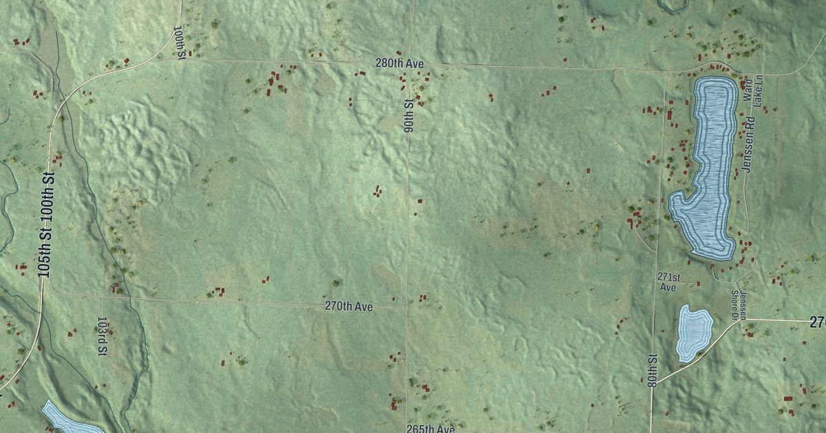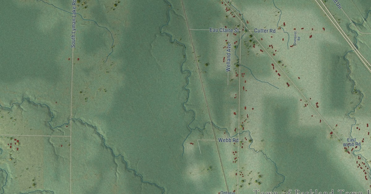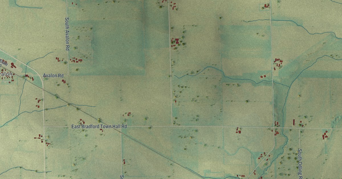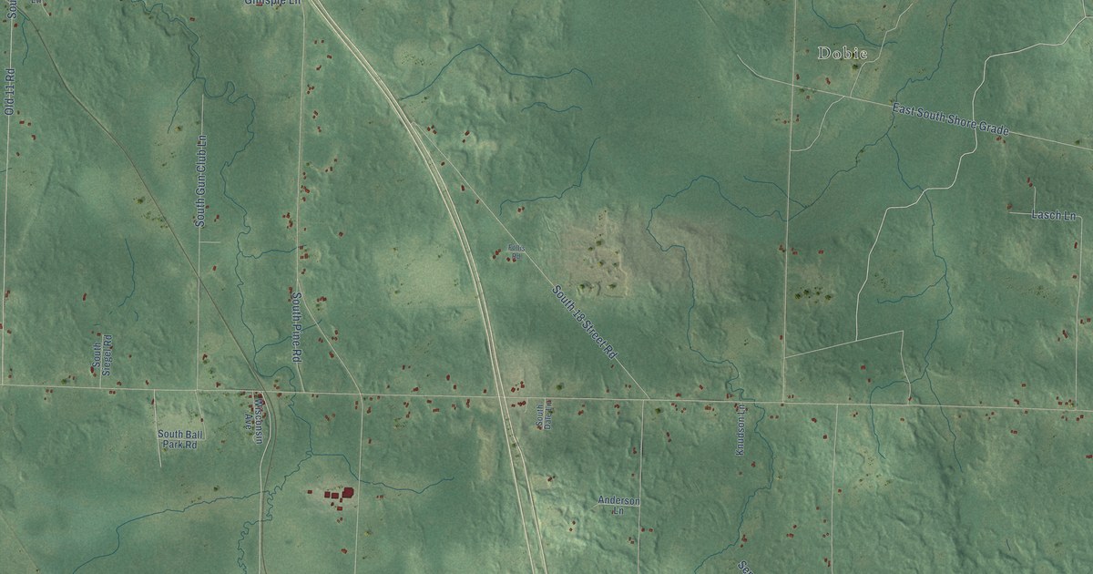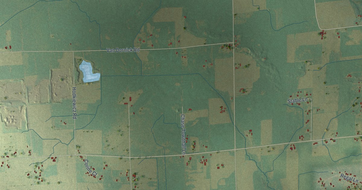
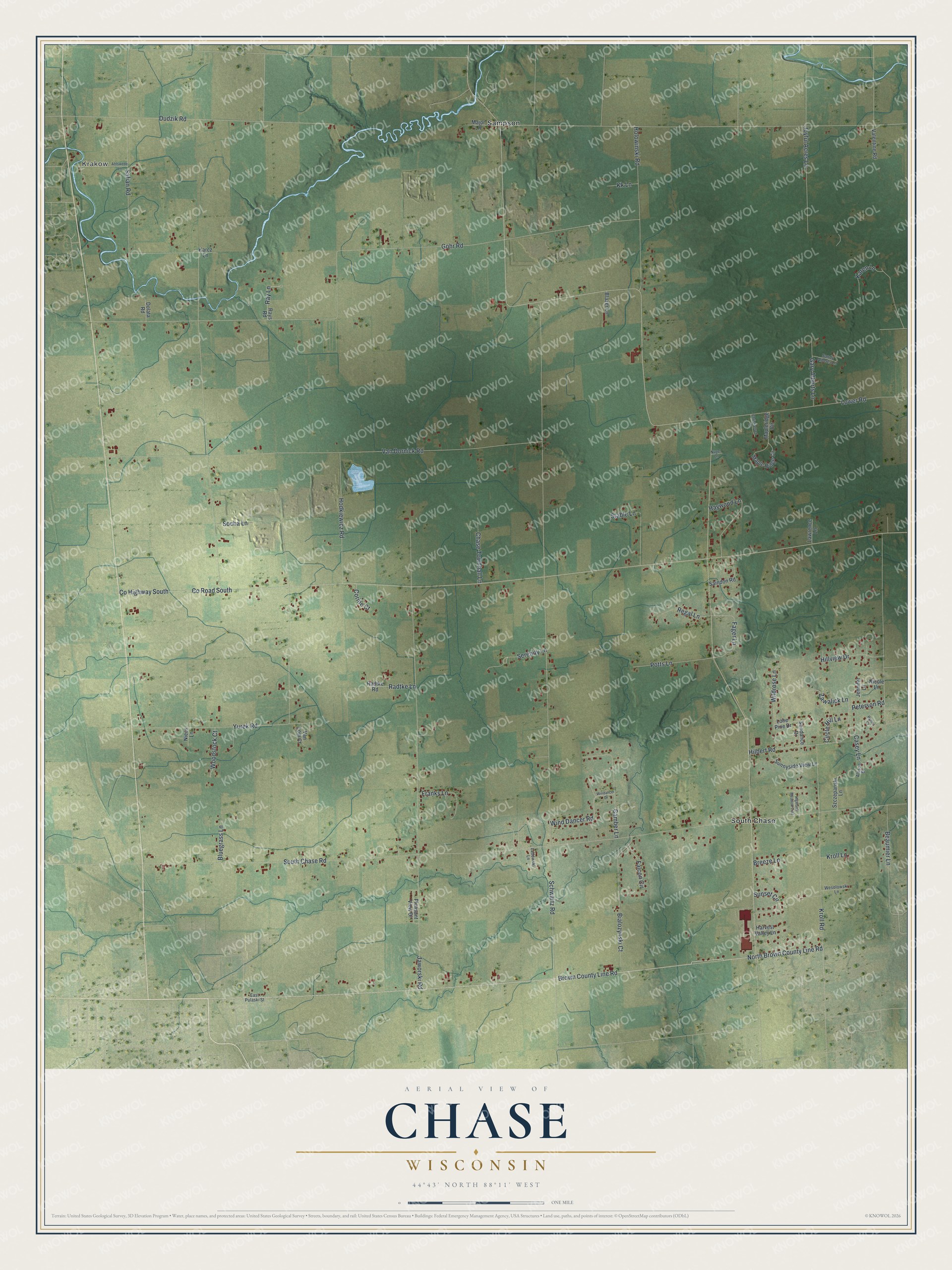
This beautifully detailed map of Chase, Wisconsin was created in 2026 using aerial imagery combined with modern topographical, census, street and landmark data. It's a modern aerial view of Chase in Oconto County, Wisconsin, that combines modern data with a vintage aesthetic. The roads feature printed names, and if you look closely you can find your exact house accurately shown in its correct location.
Explore an aerial view of Chase, Wisconsin
On this map you'll find Krakow, Sampson, South Chase, North Brown County Line Road, Brown County Line Road, Fager Lane, Co Highway South, Co Road South, South Chase Road, Schwartz Road, Gohr Road, Safian Road, and more. Each red shape is a building, so zoom in on the preview and look for yours.
Every town has a first chapter, and Chase is no exception. The Oconto County Historical Society puts it this way: "Chase was originally established on April 15, 1873 as St. Nathans. The name was changed to Chase on March 20, 1890."
Chase is a town in Oconto County. The Census Bureau counted 3,178 people here in 2020.
Take a closer look at the Chase map
Names on this map
These names are printed on this map.
Places: Krakow, Sampson and South Chase.
Streets and roads: North Brown County Line Road, Brown County Line Road, Fager Lane, County Highway South, County Road South, South Chase Road, Schwartz Road, Gohr Road, Safian Road, Van Dornick Road, Jaworski Road, Yurek Road.
More street names, A to Z
Ahlswede Lane, Allison Drive, Beaumier Lane, Bialozynski Court, Blazer Lane, Bluegrass Lane, Breeze Lane, Camber Lane, Casey Lane, Chase Townhall Lane, Christiansen Lane, Circle Hill Lane, Corine Court, Dolata Road, Dudzik Road, East Pulaski Street, Falcon Circle, Franks Lane, Gary Alberts Lane, Harvest Valley Lane, Haywood Lane, Highland Meadow Trail, Hilbert Road, Hillview Drive, Hodkiewicz Road, Holowinski Road, Jennifer Lane, Joyful Acres Lane, Karcz Lane, Karen Lane, Kk Lane, Kroll Lane, Kroll Road, Ladowski Lane, Lawrence Lane, Lone Pine Drive, Lower Road, Major Lane, Maple Ridge Circle, Mapleridge Circle, Nicole Lane, Niecs Lane, Nuget Lane, Peterson Road, Pleasant View Drive, Potts Lane, Radtke Lane, Radtke Road, Ray Lane, Rays Road, Regal Lane, Rymer Court, Saindon Road, Sandy Alberts Lane, Serenity Lane, Socha Lane, Stable Lane, Sundance Drive, Sunnyside View Lane, Sunset Circle, Szczepanski Lane, Valentine Road, Van Lom Court, Wesolowski Lane, Wildrose Lane, Windancer Drive, Wind Dancer Road, Woodstock Court, Zawalick Lane.
Created by KNOWOL in 2026. The buildings are small red shapes, the roads carry their printed names, and shaded relief shows the shape of the land. The title panel reads "AERIAL VIEW OF CHASE, WISCONSIN" with 44°43' NORTH 88°11' WEST.
Hang it in the hallway, the office or the cabin, or give it to someone who left Chase and still calls it home. Open the preview and look for a street you know. See sizes and frames for the Chase map.