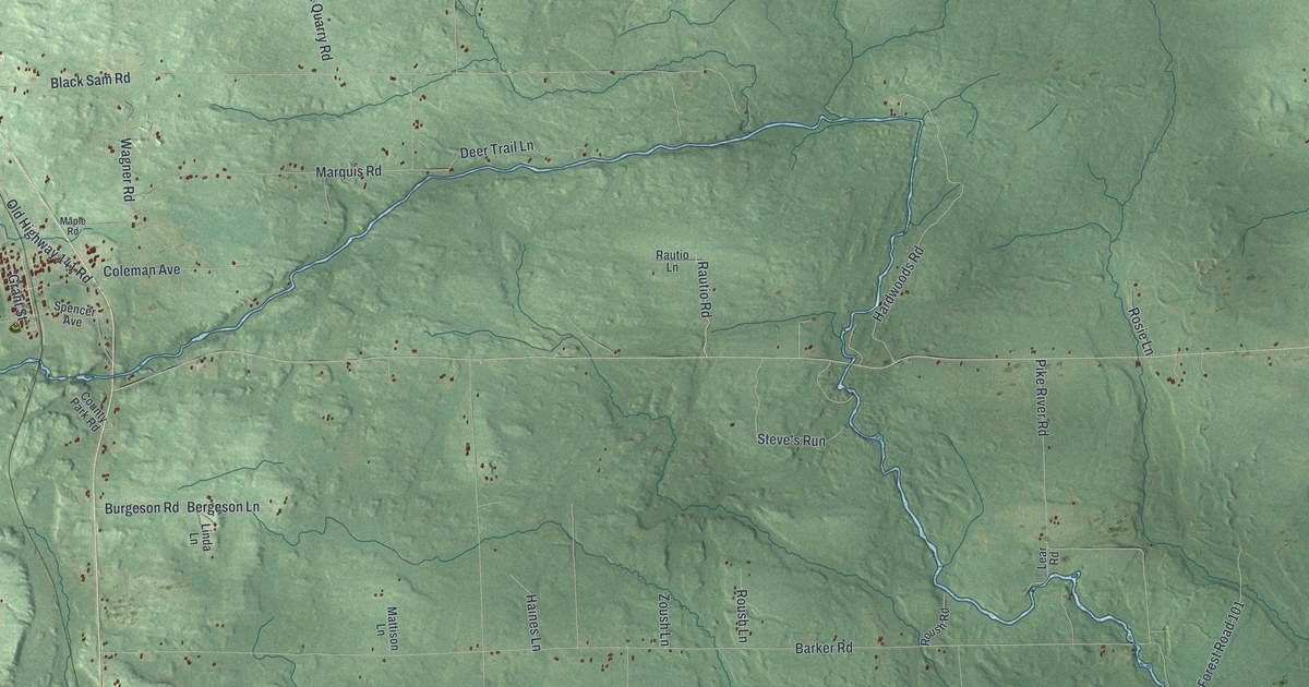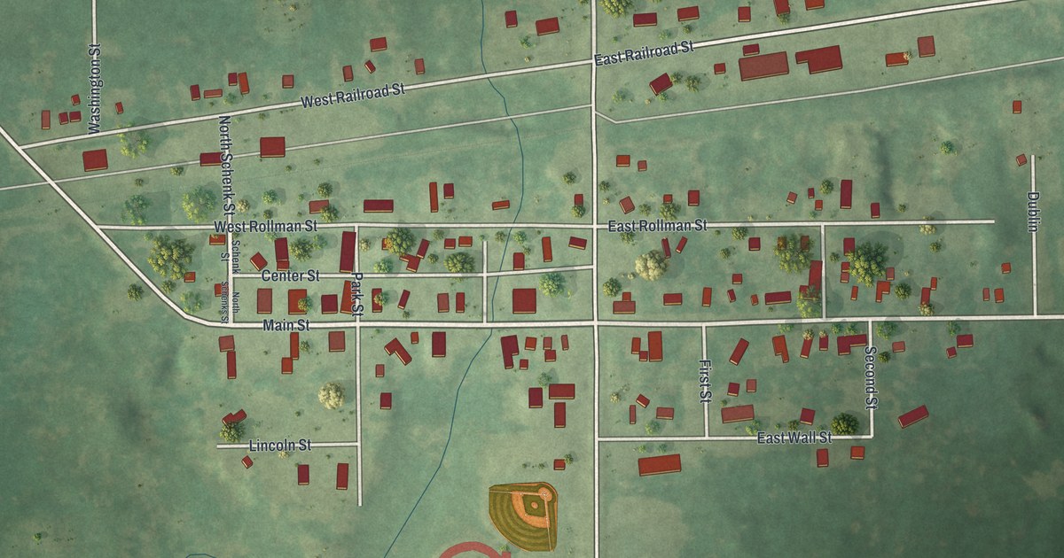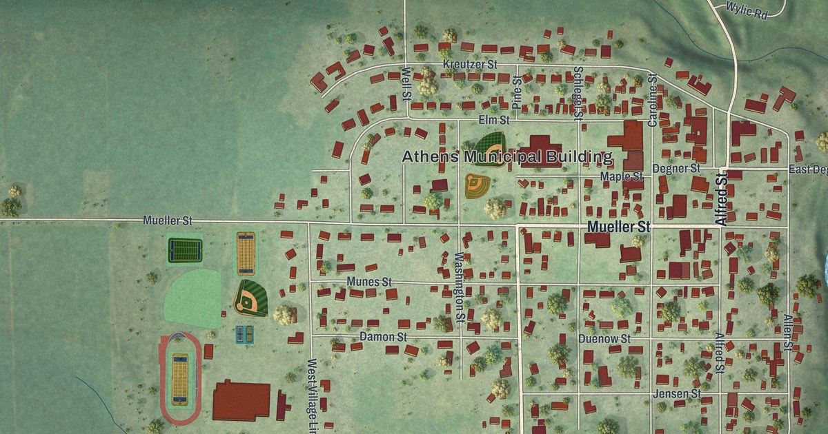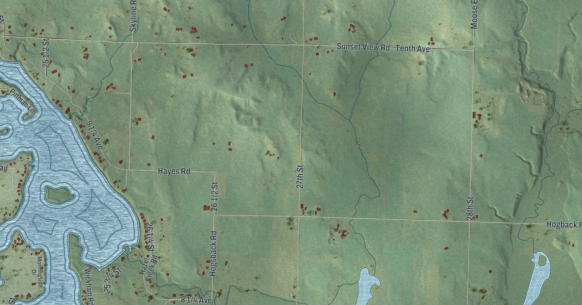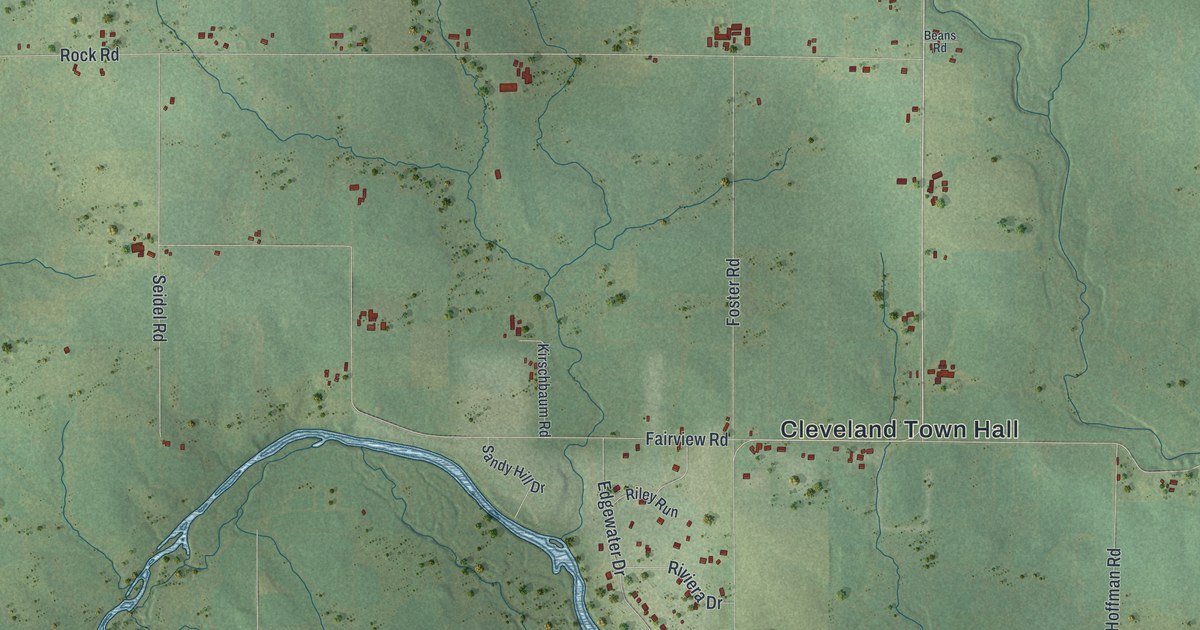
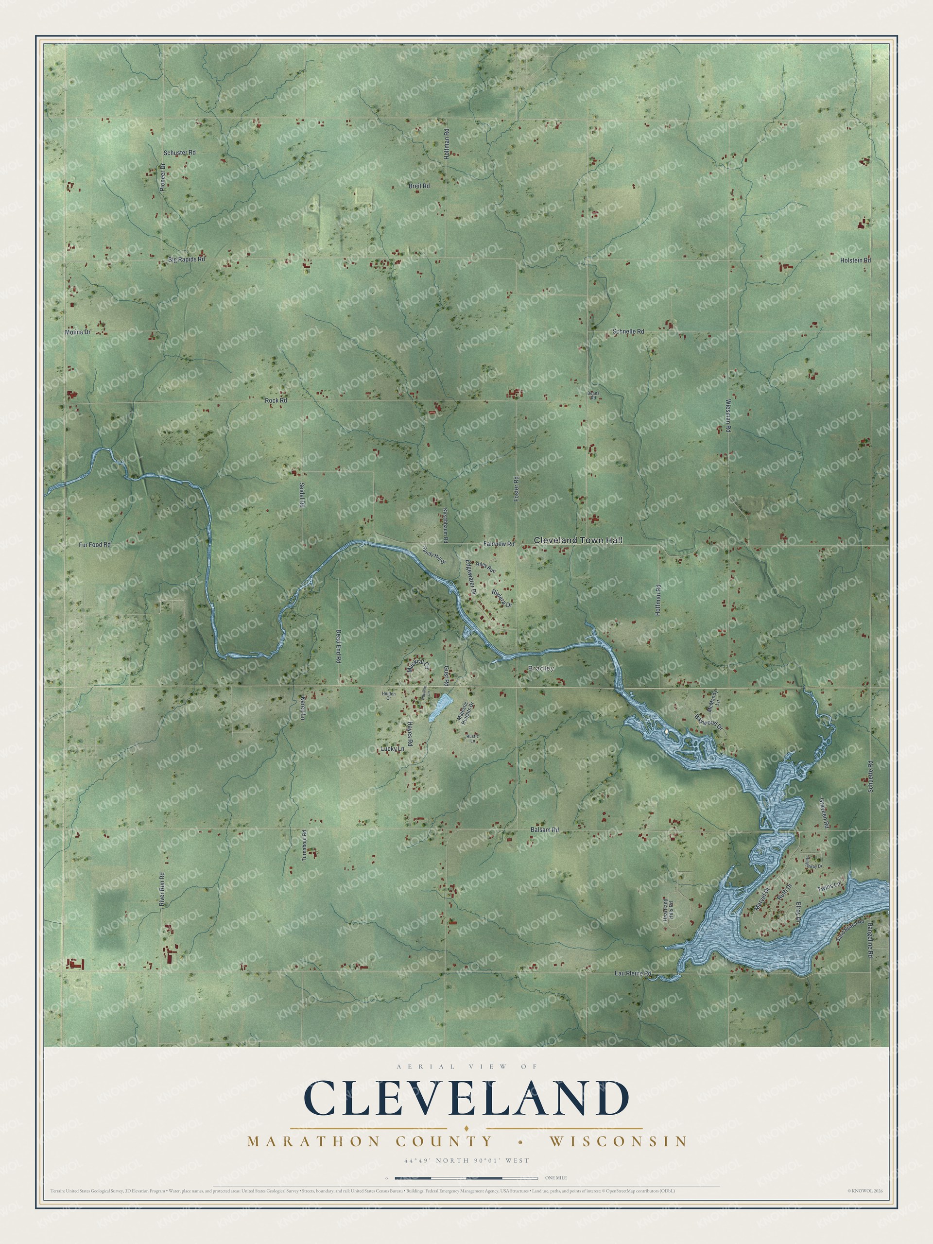
This beautifully detailed map of Cleveland, Wisconsin was created in 2026 using aerial imagery combined with modern topographical, census, street and landmark data. It's a modern aerial view of Cleveland in Marathon County, Wisconsin, that combines modern data with a vintage aesthetic. The roads feature printed names, and if you look closely you can find your exact house accurately shown in its correct location.
Explore an aerial view of Cleveland, Wisconsin
On this map you'll find Cleveland Town Hall, Bradley, Balsam Road, Eau Pleine Road, Fairview Road, Wiesman Road, Big Rapids Road, Rock Road, Holstein Road, Schnelle Road, Schuette Road, Maryel Drive, and more. Each red shape is a building, so zoom in on the preview and look for yours.
Cleveland has a story worth telling. The Internet Archive puts it this way: "A logging railroad was built from Stratford into the town of Cleveland,
which later incorporated as a railway corporation, and will reach Mosinee in
no distant time."
Cleveland is a town in Marathon County. The Census Bureau counted 1,486 people here in 2020.
Take a closer look at the Cleveland map
Names on this map
These names are printed on this map.
Places: Cleveland Town Hall and Bradley.
Streets and roads: Balsam Road, Eau Pleine Road, Fairview Road, Wiesman Road, Big Rapids Road, Rock Road, Holstein Road, Schnelle Road, Schuette Road, Maryel Drive, Foster Road, River Run Road.
More street names, A to Z
Baywood Drive, Beans Road, Breit Road, Dead End Road, Edgewater Drive, Elroy Drive, Fur Food Road, Graveen Road, Gust Road, Hayes Road, Heartland Hills Road, Heiden Court, Hoffman Road, Holtman Road, Karen Lane, Kirschbaum Road, Lucky Lane, Majestic Heights Drive, McMandy Lane, Moline Drive, Muskrat Circle, Pauline Lane, Pioneer Drive, Rangeline Road, Ridgeway Drive, Riley Run, Riviera Drive, Rustic Lane, Ruth Drive, Sand Beach Road, Sandy Hill Drive, Schuster Road, Seidel Road, Turnabout Road, Twins Lane.
Created by KNOWOL in 2026. The buildings are small red shapes, the roads carry their printed names, and shaded relief shows the shape of the land. The title panel reads "AERIAL VIEW OF CLEVELAND, MARATHON COUNTY • WISCONSIN" with 44°49' NORTH 90°01' WEST.
It looks right in a kitchen, an office or a den, and it's a gift for anyone who grew up in Cleveland or moved away. Open the preview and find your street. See sizes and frames for the Cleveland, Marathon County map.