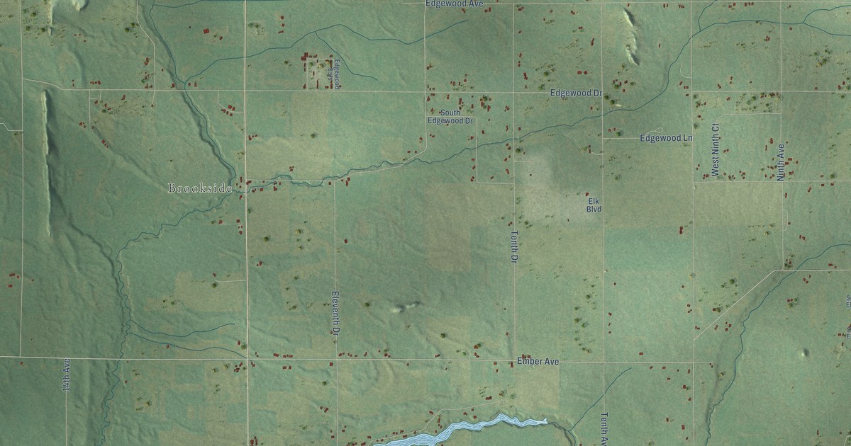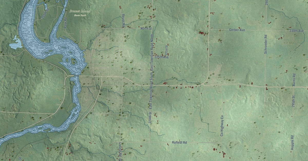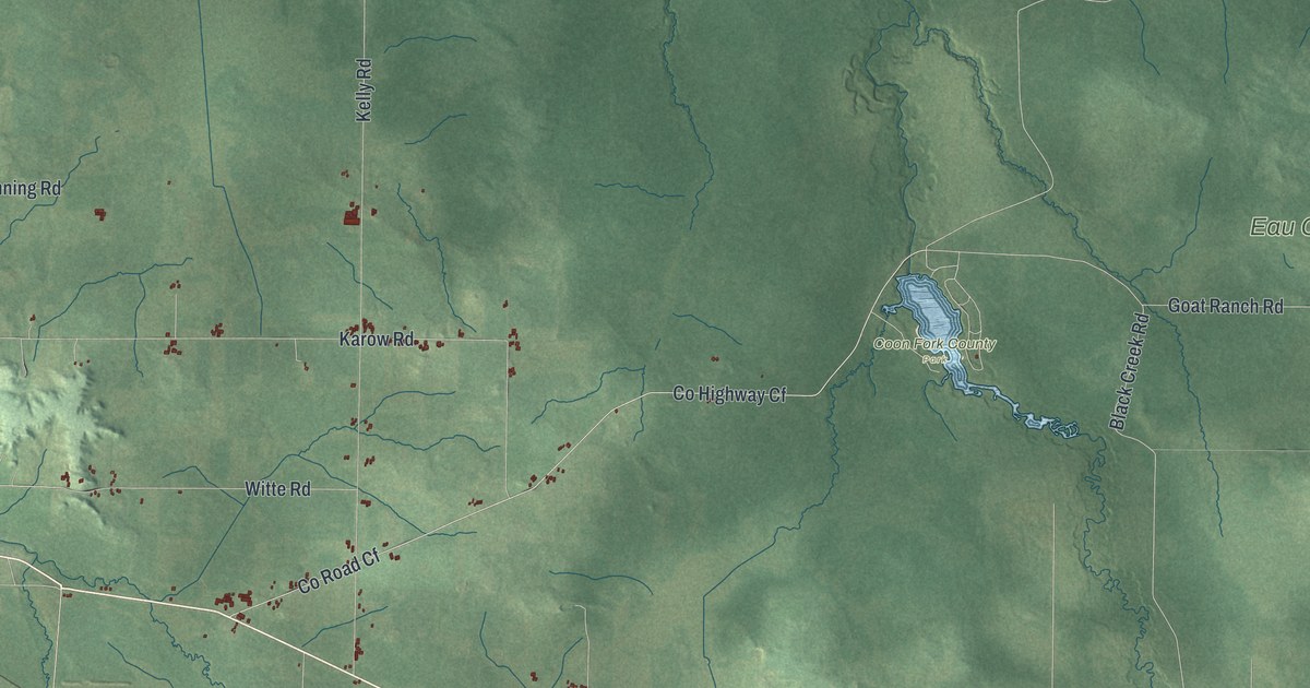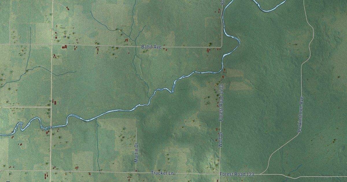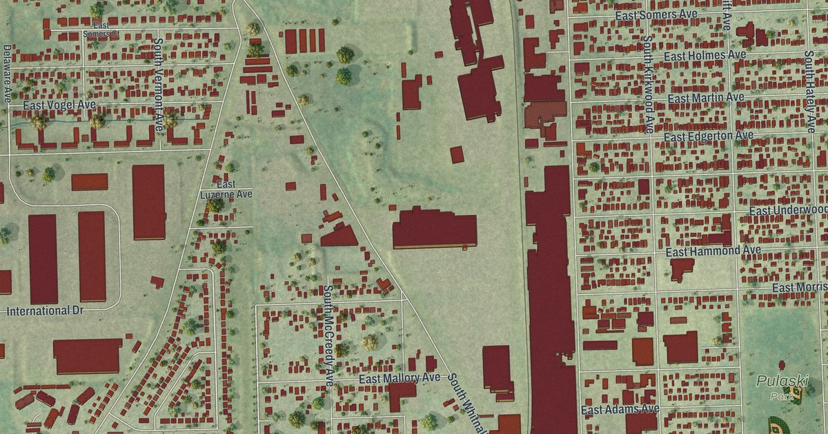
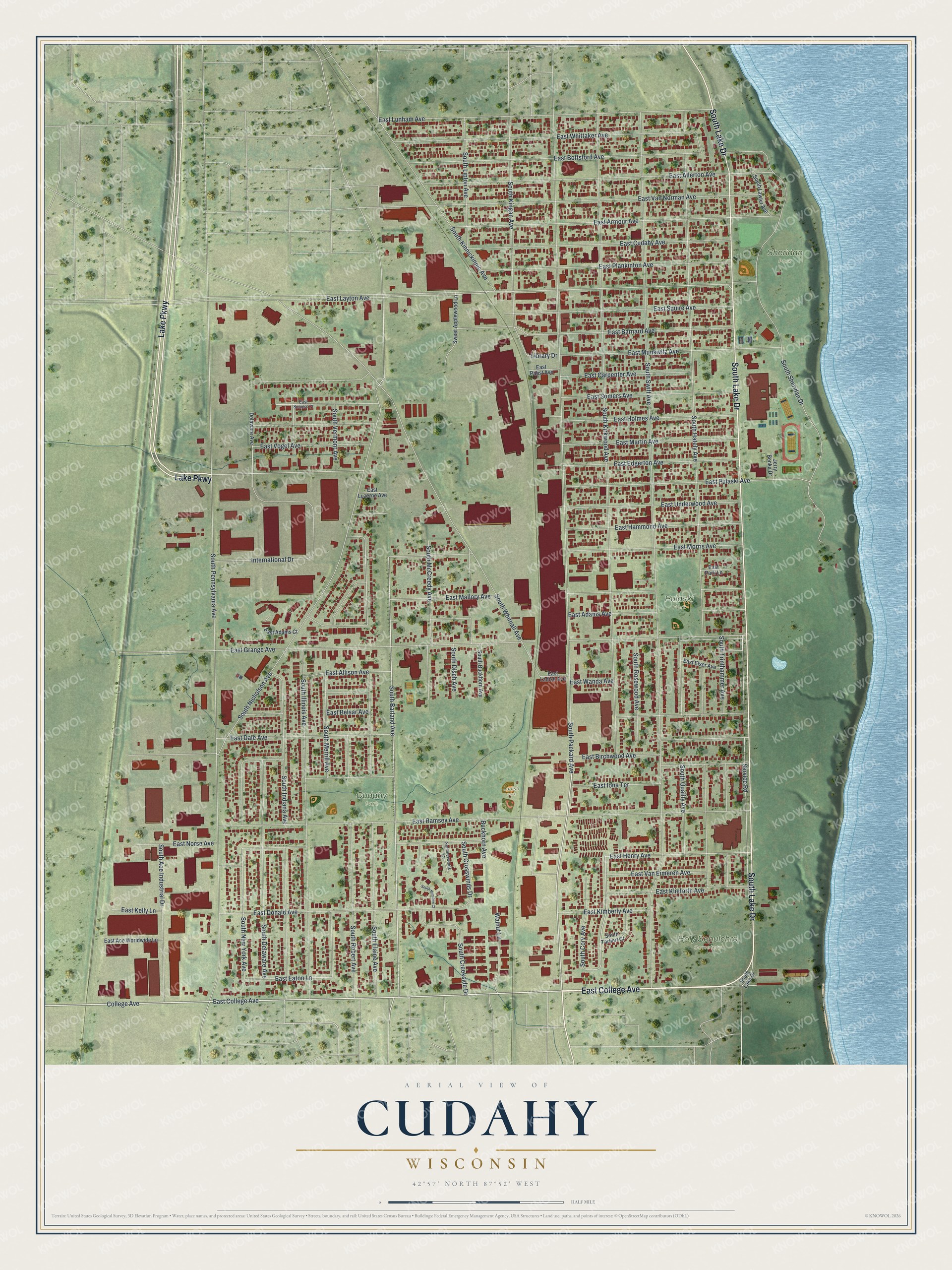
This beautifully detailed map of Cudahy, Wisconsin was created in 2026 using aerial imagery combined with modern topographical, census, street and landmark data. It's a modern aerial view of Cudahy in Milwaukee County, Wisconsin, that combines modern data with a vintage aesthetic. The roads feature printed names, and if you look closely you can find your exact house accurately shown in its correct location.
Explore an aerial view of Cudahy, Wisconsin
On this map you'll find Cudahy Park, Holy Sepulchre Cemetery, Pulaski Park, Sheridan Park, Ladish Park, East College Avenue, South Lake Drive, Lake Parkway, South Packard Avenue, College Avenue, South Barland Avenue, Service Road, and more. Each red shape is a building, so zoom in on the preview and look for yours.
Cudahy is a city in Milwaukee County. The Census Bureau counted 18,204 people here in 2020. The map prints the town name in its title panel, with the coordinates below it.
Take a closer look at the Cudahy map
Names on this map
These names are printed on this map.
Places: Cudahy Park, Holy Sepulchre Cemetery, Pulaski Park, Sheridan Park and Ladish Park.
Streets and roads: East College Avenue, South Lake Drive, Lake Parkway, South Packard Avenue, College Avenue, South Barland Avenue, Service Road, South Delaware Avenue, South Kirkwood Avenue, South Elaine Avenue, South New York Avenue, East Eaton Lane.
More street names, A to Z
Buckhorn Avenue, Delaware Avenue, East Ace Worldwide Lane, East Adams Avenue, East Adams Court, East Allerton Avenue, East Allison Avenue, East Armour Avenue, East Barnard Avenue, East Belsar Avenue, East Birchwood Avenue, East Bottsford Avenue, East Carpenter Avenue, East Cudahy Avenue, East Dale Avenue, East Donald Avenue, East Edgerton Avenue, East Elser Avenue, East Grange Avenue, East Hammond Avenue, East Henry Avenue, East Holmes Avenue, East Iona Terrace, East Kelly Lane, East Kimberly Avenue, East Klieforth Avenue, East Ladish Avenue, East Layton Avenue, East Lunham Avenue, East Luzerne Avenue, East Mallory Avenue, East Martin Avenue, East Morris Avenue, East Munkwitz Avenue, East Norse Avenue, East Pabst Avenue, East Park Lane, East Plankinton Avenue, East Pulaski Avenue, East Ramsey Avenue, East Somers Avenue, East Somers Court, East Squire Avenue, East Underwood Avenue, East Van Eimeren Avenue, East Van Norman Avenue, East Vogel Avenue, East Wanda Avenue, East Whittaker Avenue, International Drive, Jerry Benka Drive, Library Drive, South Ace Industrial Drive, South Buckhorn Avenue, South Cory Avenue, South Creekside Drive, South Crosswinds Drive, South Disch Avenue, South Hately Avenue, South Illinois Avenue, South Indiana Avenue, South Kingan Avenue, South Kinnickinnic Avenue, South Lawler Avenue, South Lipton Avenue, South McCreedy Avenue, South Meadow Court, South Merrill Avenue, South Nicholson Avenue, South Pennsylvania Avenue, South Quality Avenue, South Robert Avenue, South Rosewood Avenue, South Sheridan Drive, South Swift Avenue, South Tarbert Court, South Trinthammer Avenue, South Vermont Avenue, South Whitnall Avenue, Summerwinds Court, Sweet Applewood Lane, Walnut Lane.
Created by KNOWOL in 2026. The buildings are small red shapes, the roads carry their printed names, and shaded relief shows the shape of the land. The title panel reads "AERIAL VIEW OF CUDAHY, WISCONSIN" with 42°57' NORTH 87°52' WEST.
It suits a den, a classroom or a front hall, and it makes a gift for anyone with Cudahy roots. Open the preview and find the block you know. See sizes and frames for the Cudahy map.