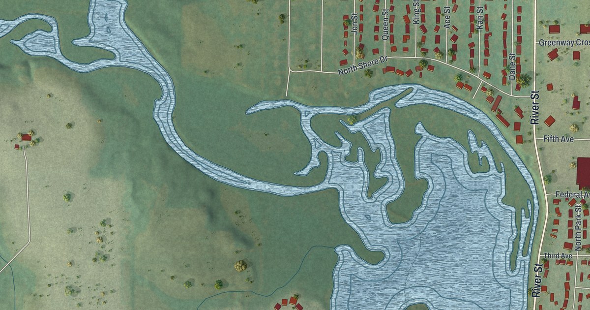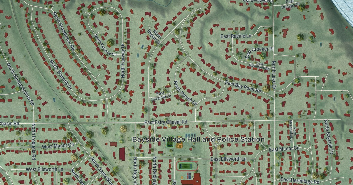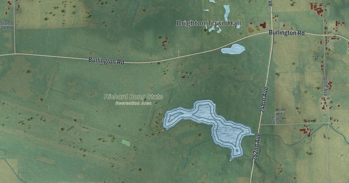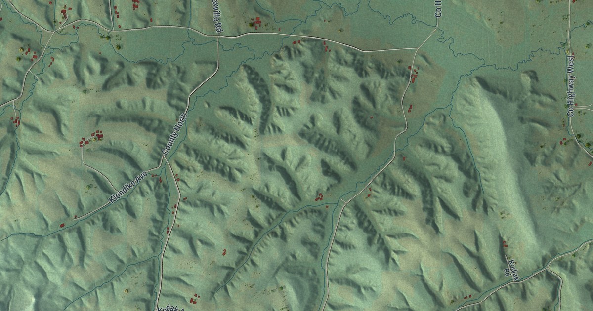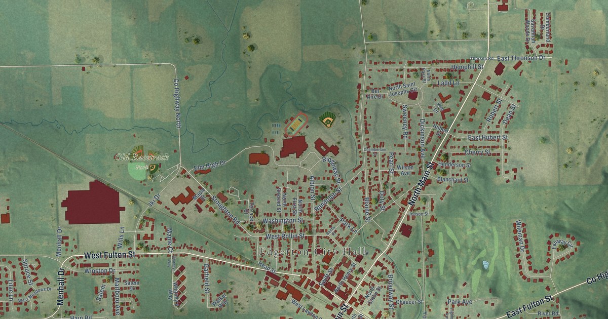
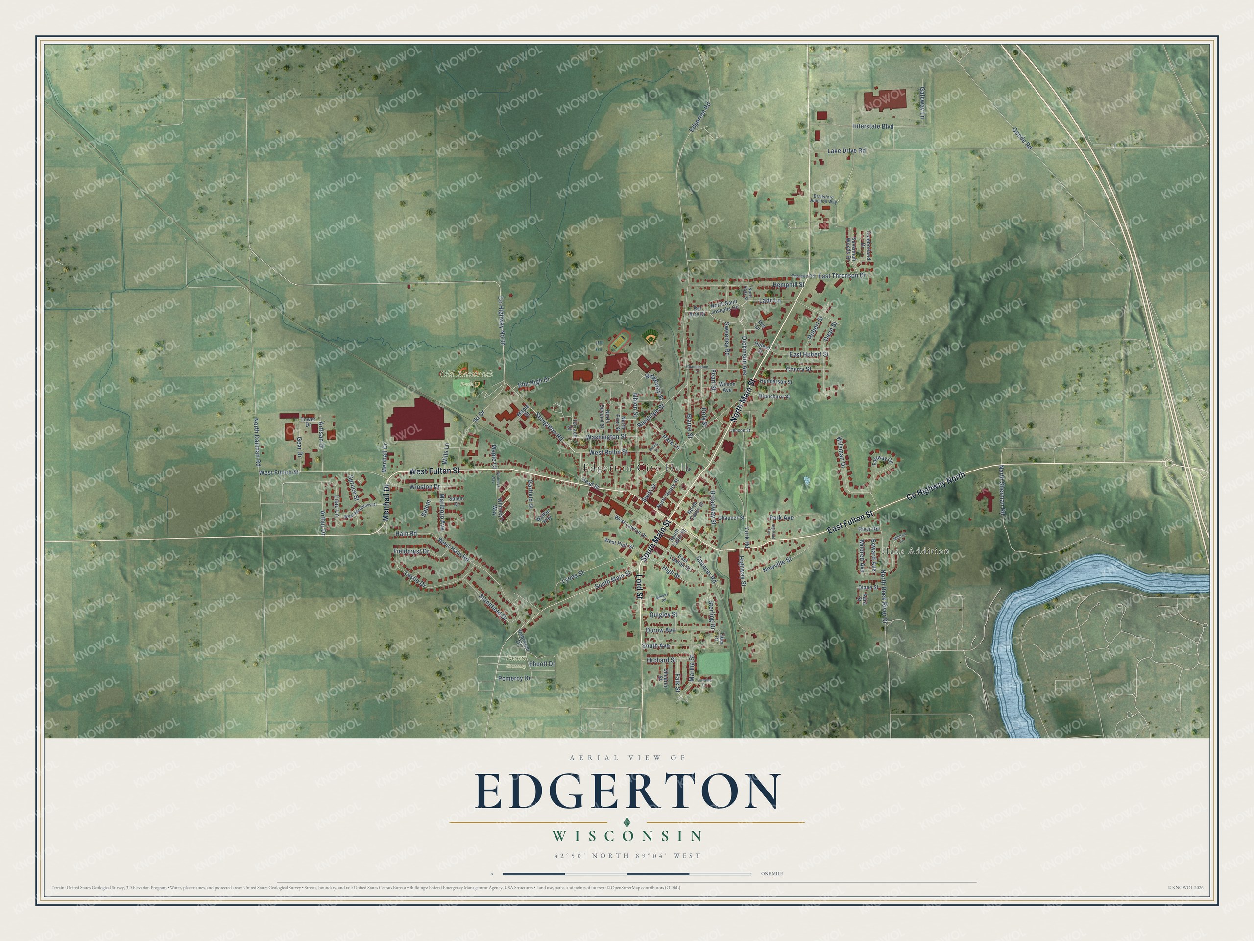
This beautifully detailed map of Edgerton, Wisconsin was created in 2026 using aerial imagery combined with modern topographical, census, street and landmark data. It's a modern aerial view of Edgerton in Rock County, Wisconsin, that combines modern data with a vintage aesthetic. The roads feature printed names, and if you look closely you can find your exact house accurately shown in its correct location.
Explore an aerial view of Edgerton, Wisconsin
On this map you'll find Edgerton City Hall, Hans Addition, Fassett Cemetery, Old Racetrack Park, North Main Street, South Main Street, West Fulton Street, East Fulton Street, Co Highway North, Lord Street, Menhall Drive, East Thronson Drive, and more. Each red shape is a building, so zoom in on the preview and look for yours.
Edgerton is a city in Rock County. The Census Bureau counted 5,945 people here in 2020. The map prints the town name in its title panel, with the coordinates below it.
Take a closer look at the Edgerton map
Names on this map
These names are printed on this map.
Places: Edgerton City Hall, Hans Addition, Fassett Cemetery and Old Racetrack Park.
Streets and roads: North Main Street, South Main Street, West Fulton Street, East Fulton Street, County Highway North, Lord Street, Menhall Drive, East Thronson Drive, Ridgeway Street, North Sherman Road, Lilac Lane, Randolph Street.
More street names, A to Z
Albion Street, Arthur Drive, Artisan Drive, Bel Aire Drive, Bently Place, Blaine Street, Blanchard Street, Brailsford Junction Way, Broadway Street, Chamberlain Street, Chaucer Street, Cherry Street, Cumberland Drive, Dean Street, Diane Street, Dickinson Avenue, Dorow Avenue, Doty Street, East Hubert Street, East Lawton Street, Ebbott Drive, Edgerton Road, Edward Avenue, Elm Drive, Elm High Drive, Fairway Circle, Falk Street, Fieldcrest Drive, Garfield Street, Gateway Lane, Gear Drive, Goede Road, Hain Road, Head Street, Hemphill Street, Henderson Street, Highland Avenue, High Street, Highway Street, Hubert Street, Iki Drive, Interstate Boulevard, Jenson Street, Kara Street, Ladd Lane, Lake Drive Road, Leslie Drive, Lorraine Drive, Lyons Street, Maple Court, Maple Street, Marlboro Avenue, Martha Street, Melody Road, Mildred Avenue, Mildred Circle, Newville Street, North Catlin Street, North Dallman Road, North First Street, North Henry Street, North Pass Street, North Rock River Drive, North Saint Josephs Circle, North Second Street, Orchard Street, Park Avenue, Park Lane, Pearl Street, Pomeroy Drive, Quigley Street, River Road, Robert Street, Robinson Drive, Salem, Salem Drive, Savannah Woods Drive, Shearer Street, South Avenue, South Catlin Street, Spencer Road, Spruce Street, Sterling Drive, Stonefield Drive, Stoughton Road, Sweeney Road, Swift Street, Terrace Court, Thorsen Road, Tider Drive, Tower Drive, Walker Way, Washington Street, West Hain Road, West High Street, West Lawton Street, West Meadows Drive, West Rollin Street, Whitney's Way, Whitneys Way, Wileman Drive, Wills Lane, Wilson Avenue, Winston Drive, York Road.
Created by KNOWOL in 2026. The buildings are small red shapes, the roads carry their printed names, and shaded relief shows the shape of the land. The title panel reads "AERIAL VIEW OF EDGERTON, WISCONSIN" with 42°50' NORTH 89°04' WEST.
Hang it in the hallway, the office or the cabin, or give it to someone who left Edgerton and still calls it home. Open the preview and look for a street you know. See sizes and frames for the Edgerton map.