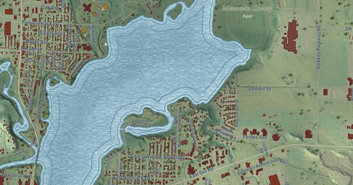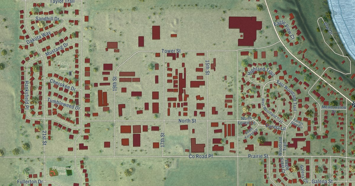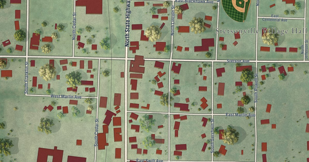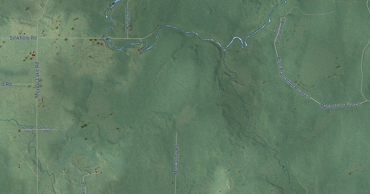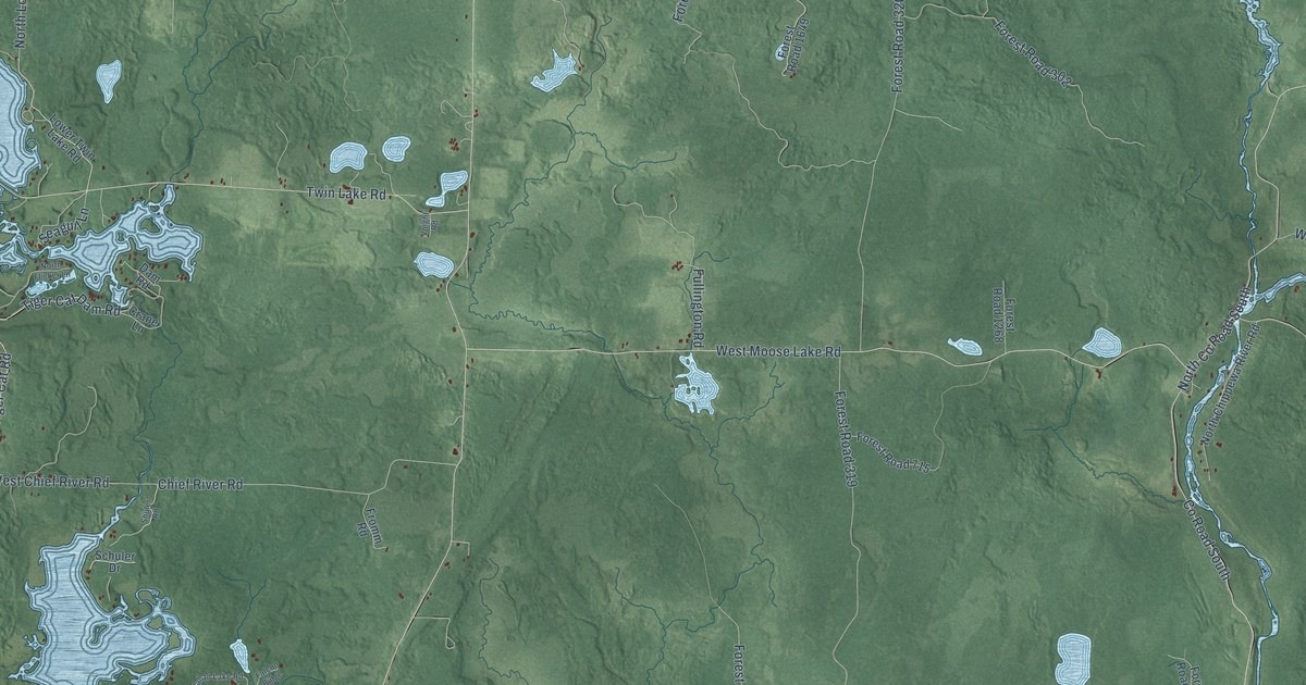
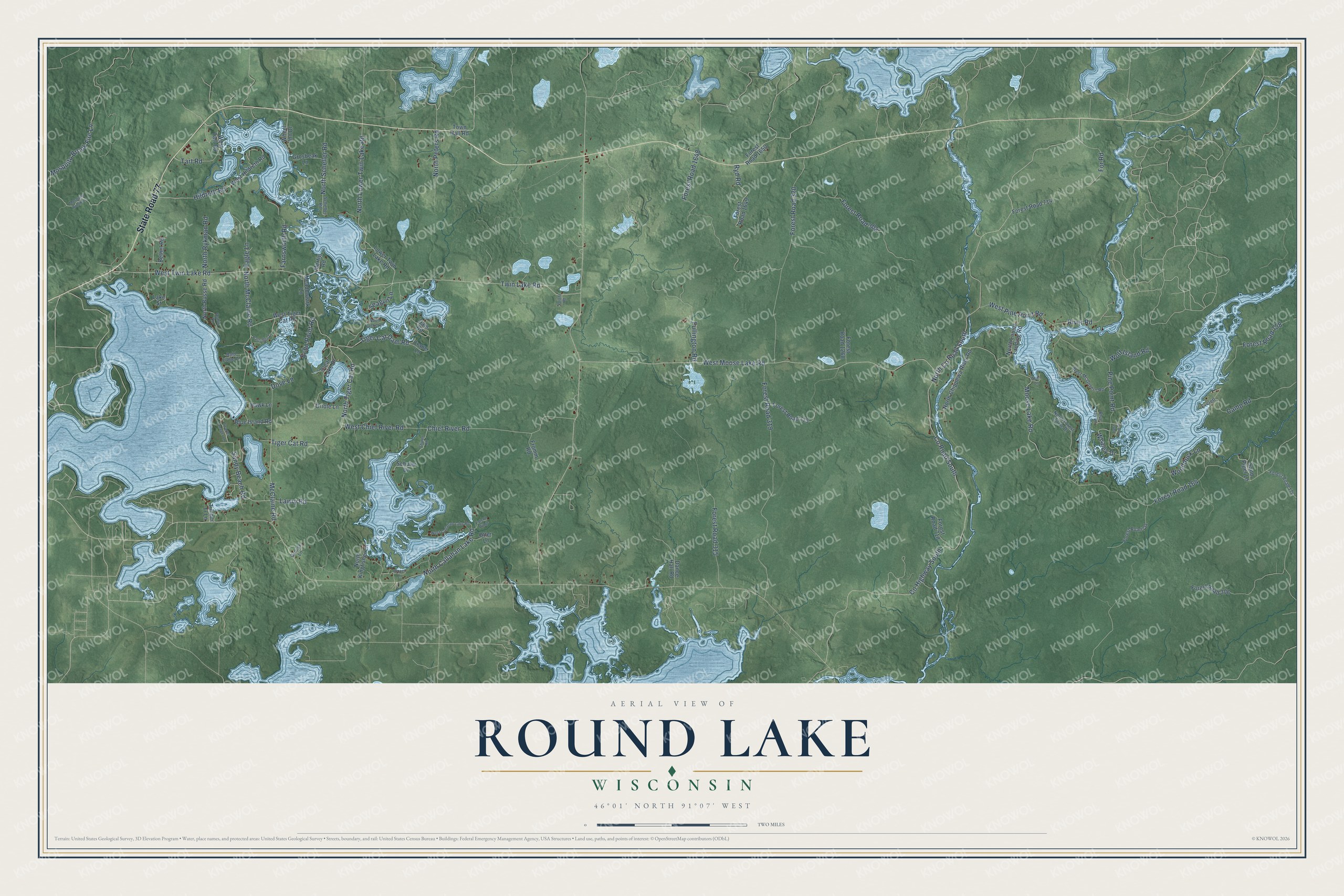
This beautifully detailed map of Round Lake, Wisconsin was created in 2026 using aerial imagery combined with modern topographical, census, street and landmark data. It's a modern aerial view of Round Lake in Sawyer County, Wisconsin, that combines modern data with a vintage aesthetic. The roads feature printed names, and if you look closely you can find your exact house accurately shown in its correct location.
Explore an aerial view of Round Lake, Wisconsin
On this map you'll find State Road 77, Tart Road, Tiger Cat Dam Road, Forest Road 164, Co Highway South, North Co Road South, Twin Lake Road, West Twin Lake Road, West Moose Lake Road, North McClaine Road, Tiger Cat Road, North Tiger Cat Road, and more. Each red shape is a building, so zoom in on the preview and look for yours.
Round Lake is a town in Sawyer County. The Census Bureau counted 1,081 people here in 2020. The map prints the town name in its title panel, with the coordinates below it.
Take a closer look at the Round Lake map
Names on this map
These names are printed on this map.
Streets and roads: State Road 77, Tart Road, Tiger Cat Dam Road, Forest Road 164, County Highway South, North County Road South, Twin Lake Road, West Twin Lake Road, West Moose Lake Road, North McClaine Road, Tiger Cat Road, North Tiger Cat Road.
More street names, A to Z
Bald Eagle Lane, Bethel Road, Blue Island Road, Blue Jay Lane, Camp Road, Chief River Road, Clear Lake Drive, County Road South, Crane Lane, Dam Road, Dance Hall Road, Dove Lane, Eagle Lane, East End Drive, Echo Point Road, Everett, Falcon Ridge, Farnsworth Road, Forest Road 174, Forest Road 302, Forest Road 306, Forest Road 315, Forest Road 319, Forest Road 320, Forest Road 714, Forest Road 715, Forest Road 718, Forest Road 721, Forest Road 758, Forest Road 1268, Forest Road 1648, Forest Road 1649, Forest Road 1650, For Road, Fromm Road, Fullington Road, Grosbeak Lane, Grouse Lane, Hawk Lane, Hildreth Road, Lake Street, Lawry Road, Lower Twin Lake Road, McClaine Road, Meadowlark Lane, Mertig Road, Moose Lake Road, Mosquito Brook Fire Lane, Mosquito Brook Lane, North Busse Road, North Callahan Lake Road, North Chippewa River Road, North Flicker Lane, North Forest Circle Drive, North Kingfisher Lane, North Louies Landing Road, North Lower Twin Lake Road, North Peters Road, North Rykman Road, North Scheller Road, Oriole Lane, Otter Lane, Partridge Lane, Pine Point Road, Plover Lane, River Road, Robin Lane, Ryd Road, Sand Piper Lane, Sandy Beach Road, Scarlet Tanager Lane, Scheller Road, Schuler Drive, Seagull Lane, Shuler Road, Timber Tr Lane, Town Hall Road, Voight Road, West Callahan Lake Road, West Chief River Road, West Hildreth Road, West McGovern Road, West Pine Point Road, West Tart Road, West Tiger Cat Road, Whaley Drive, Wheel Inn Drive, Wolf Island Road, Woodduck Lane, Wren Lane.
Created by KNOWOL in 2026. The buildings are small red shapes, the roads carry their printed names, and shaded relief shows the shape of the land. The title panel reads "AERIAL VIEW OF ROUND LAKE, WISCONSIN" with 46°01' NORTH 91°07' WEST.
It suits a den, a classroom or a front hall, and it makes a gift for anyone with Round Lake roots. Open the preview and find the block you know. See sizes and frames for the Round Lake map.