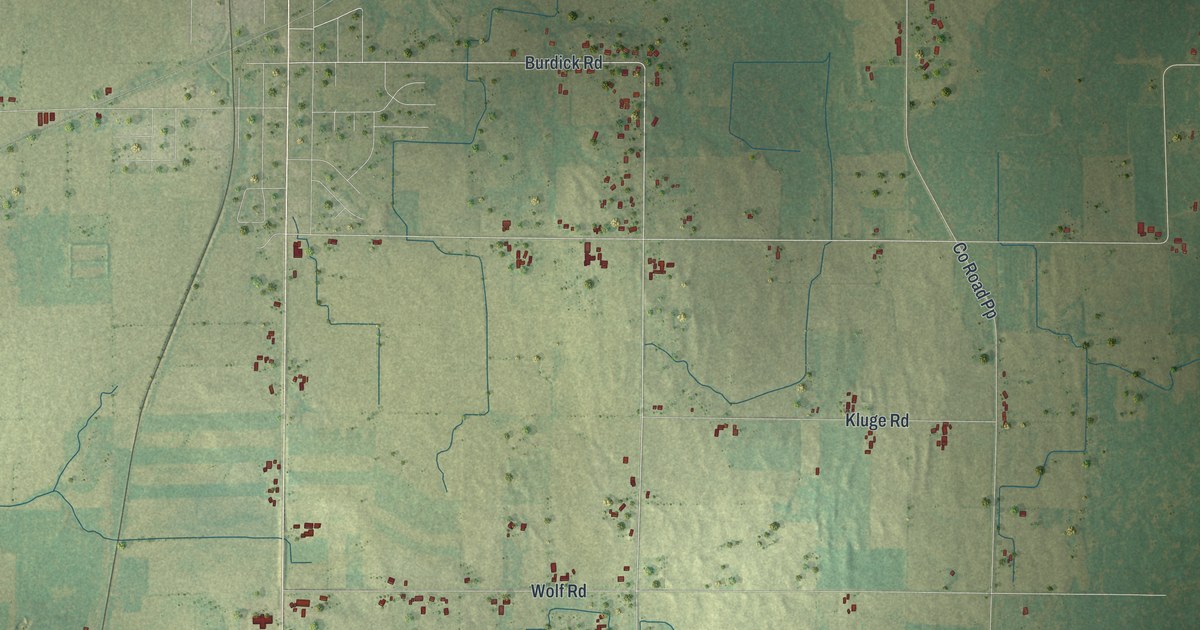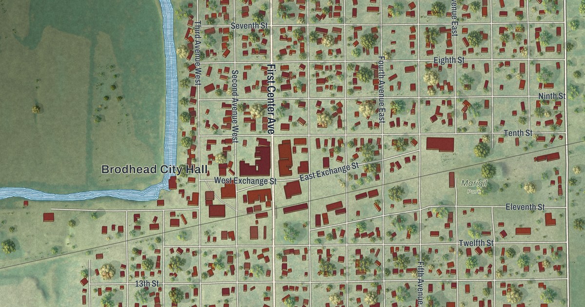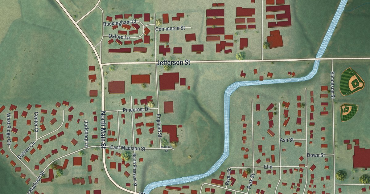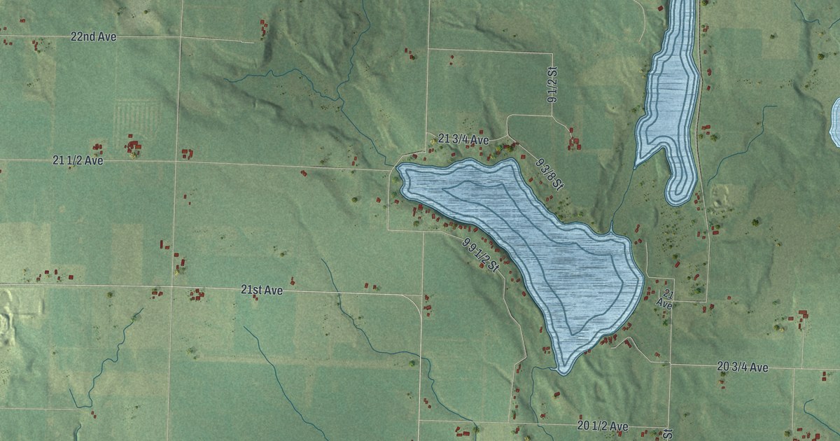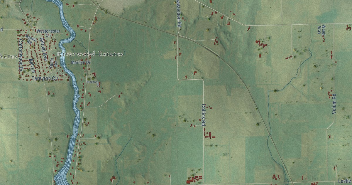
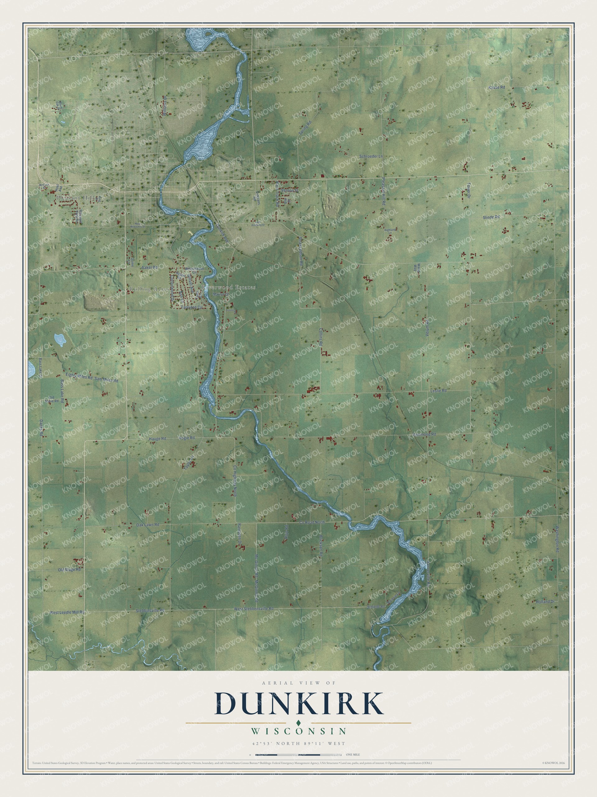
This beautifully detailed map of Dunkirk, Wisconsin was created in 2026 using aerial imagery combined with modern topographical, census, street and landmark data. It's a modern aerial view of Dunkirk in Dane County, Wisconsin, that combines modern data with a vintage aesthetic. The roads feature printed names, and if you look closely you can find your exact house accurately shown in its correct location.
Explore an aerial view of Dunkirk, Wisconsin
On this map you'll find Rolling Acres, Riverwood Estates, Pleasant Hill, Co Highway North, Co Road North, West Leedle Mill Road, Dunkirk Avenue, Tower Drive, Holland Drive, Washington Road, Hammond Road, Taylor Lane, and more. Each red shape is a building, so zoom in on the preview and look for yours.
Here is a piece of Dunkirk history, in the words of the record. The Internet Archive puts it this way: "Paul Railroad passes through the central part of
the town, entering on the east line on section 25, and running northwest¬
erly, passes out on the north line, on section 5."
Dunkirk is a town in Dane County. The Census Bureau counted 1,881 people here in 2020.
Take a closer look at the Dunkirk map
Names on this map
These names are printed on this map.
Places: Rolling Acres, Riverwood Estates and Pleasant Hill.
Streets and roads: County Highway North, County Road North, West Leedle Mill Road, Dunkirk Avenue, Tower Drive, Holland Drive, Washington Road, Hammond Road, Taylor Lane, Stebbinsville Road, West Stebbensville Road, Leslie Road.
More street names, A to Z
Aaker Road, Ash Lane, Aspen Road, Bass Lake Court, Bass Lake Road, Black Oak Drive, Brickson Road, Collins Road, Cottonwood Drive, Danks Road, Dickson Road, East Academy Street, Eighty Miles Road, Elm Street, Gilrust Avenue, Hannerville Road, Hauge Road, Highland Lane, Hoel Avenue, Hogie Road, Kaase Road, King Street, Marilyn Drive, McComb Road, Mc Ginnis Road, McGinnis Road, Oak Lawn Road, Old Stage Road, Old Stone Road, Pleasant Hill Road, Pleasant View Drive, Quinn Lane, Race Track Road, Ramsden Drive, Rivierie Lane, Rojo Road, Sam Miles Road, Schieldt Road, Schroeder Lane, Slinde Road, Spring Road, Straavaldson Road, Tareyton Circle, Veium Road, Vernon Street, Veterans Road, Waag Way, Westchester Circle, West Milwaukee Street, Williams Drive, Yuma Circle.
Created by KNOWOL in 2026. The buildings are small red shapes, the roads carry their printed names, and shaded relief shows the shape of the land. The title panel reads "AERIAL VIEW OF DUNKIRK, WISCONSIN" with 42°53' NORTH 89°11' WEST.
It suits a den, a classroom or a front hall, and it makes a gift for anyone with Dunkirk roots. Open the preview and find the block you know. See sizes and frames for the Dunkirk map.