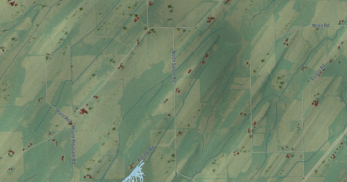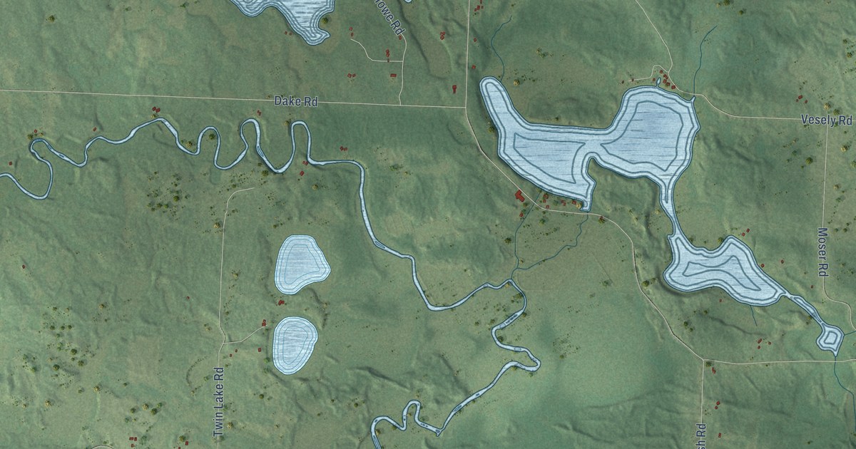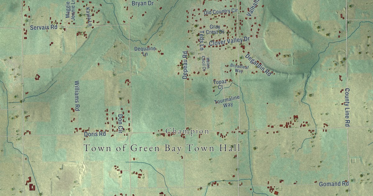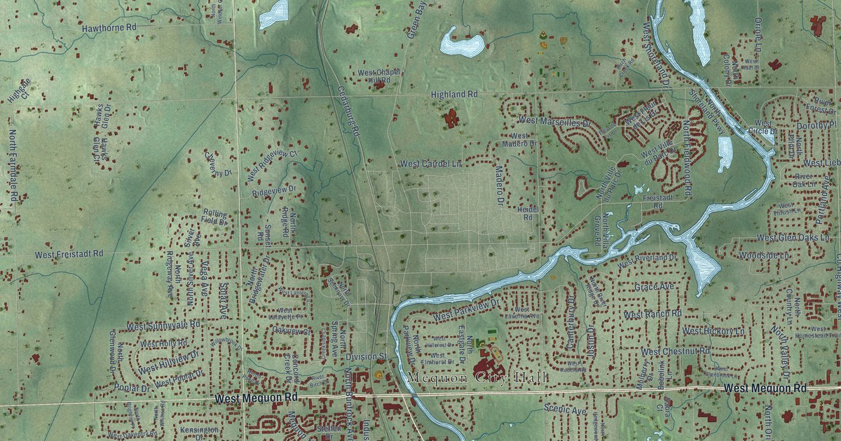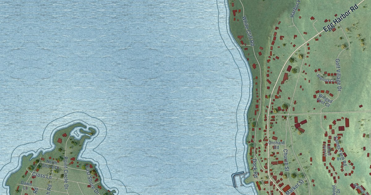
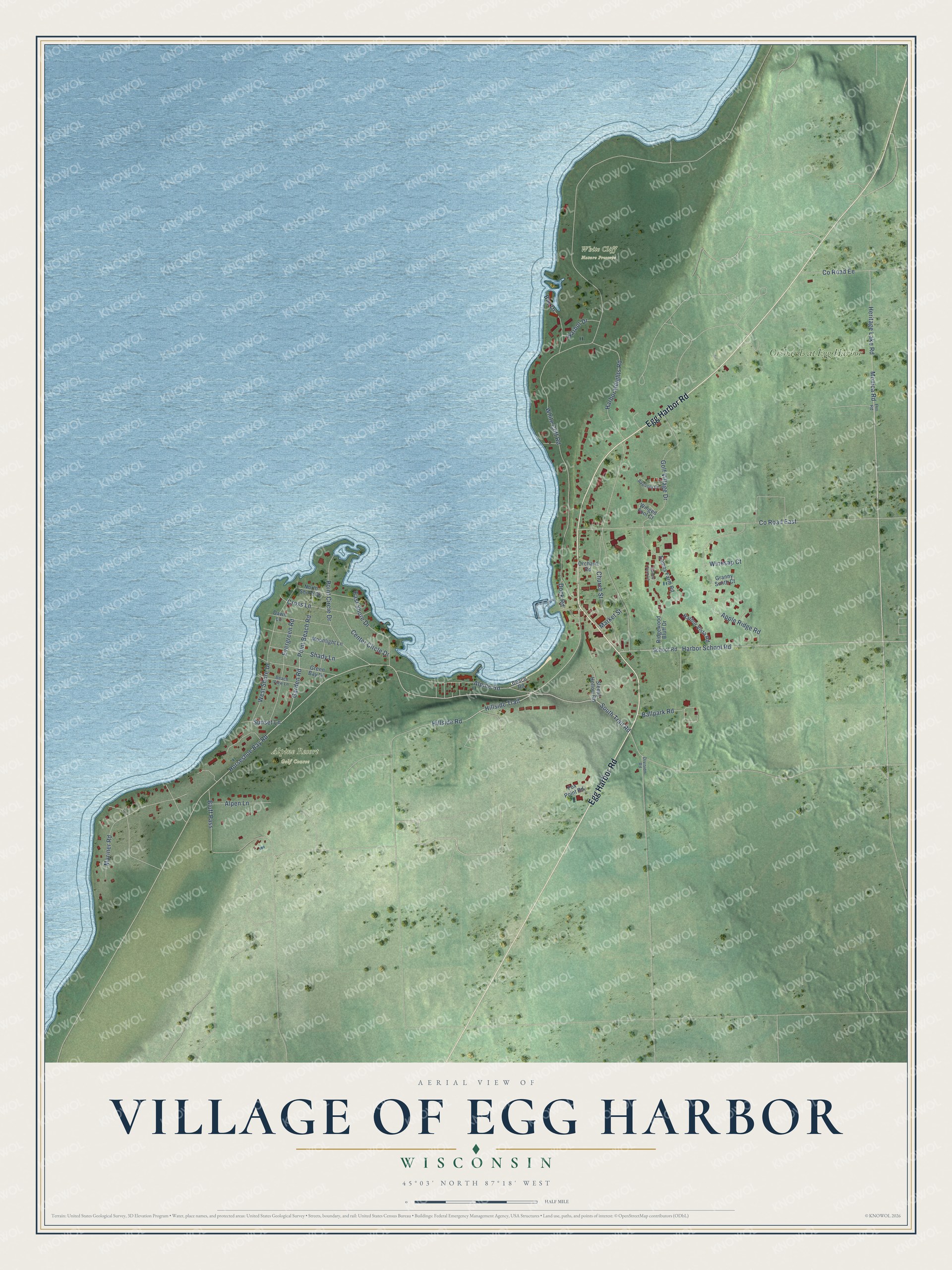
This beautifully detailed map of Egg Harbor, Wisconsin was created in 2026 using aerial imagery combined with modern topographical, census, street and landmark data. It's a modern aerial view of Egg Harbor in Door County, Wisconsin, that combines modern data with a vintage aesthetic. The roads feature printed names, and if you look closely you can find your exact house accurately shown in its correct location.
Explore an aerial view of Egg Harbor, Wisconsin
On this map you'll find Alpine Resort Golf Course, White Cliff Nature Preserve, Orchards at Egg Harbor, Egg Harbor Road, South Trail Road, Hillside Trail, Monica Road, Horseshoe Bay Road, White Cliff Road, Church Street, Co Road East, Apple Ridge Road, and more. Each red shape is a building, so zoom in on the preview and look for yours.
Egg Harbor has a story worth telling. The Egg Harbor Business Association puts it this way: "The first settlers in Egg Harbor were Jacob and Levi Thorp. They purchased land and began lumbering operations."
Egg Harbor is a village in Door County. The Census Bureau counted 358 people here in 2020.
Take a closer look at the Egg Harbor map
Names on this map
These names are printed on this map.
Places: Alpine Resort Golf Course, White Cliff Nature Preserve and Orchards at Egg Harbor.
Streets and roads: Egg Harbor Road, South Trail Road, Hillside Trail, Monica Road, Horseshoe Bay Road, White Cliff Road, Church Street, County Road East, Apple Ridge Road, Alpine Road, Mariner Road, West Shore Drive.
More street names, A to Z
Alpen Lane, Augusta Court, Ballpark Road, Bay Drive, Beach Road, Beach View Lane, Bluff Pass, Center Circle Drive, County Road Ee, Cross Lane, Dawn Lane, Division Road, Dock Road, Eames Farm Lane, Eames Farm Road, East Shore Drive, Elm Road, Evergreen Road, Fox Point Road, Garden Road, Golf Village Drive, Granny Smith Court, Green Bay Lane, Harbor Drive, Harbor Heights Road, Harbor School Road, Harbor Vista Road, Heritage Lake Road, Hillside Road, Market Street, Moonlight Lane, North Shore Drive, Orchard Road, Point Beach Road, Point Circle Drive, Ridgewood Bluff Drive, School Road, Shady Lane, Sleepy Hollow Road, Sunset Lane, Winesap Court, Winged Foot Court.
Created by KNOWOL in 2026. The buildings are small red shapes, the roads carry their printed names, and shaded relief shows the shape of the land. The title panel reads "AERIAL VIEW OF VILLAGE OF EGG HARBOR, WISCONSIN" with 45°03' NORTH 87°18' WEST.
It looks right in a kitchen, an office or a den, and it's a gift for anyone who grew up in Egg Harbor or moved away. Open the preview and find your street. See sizes and frames for the Egg Harbor map.