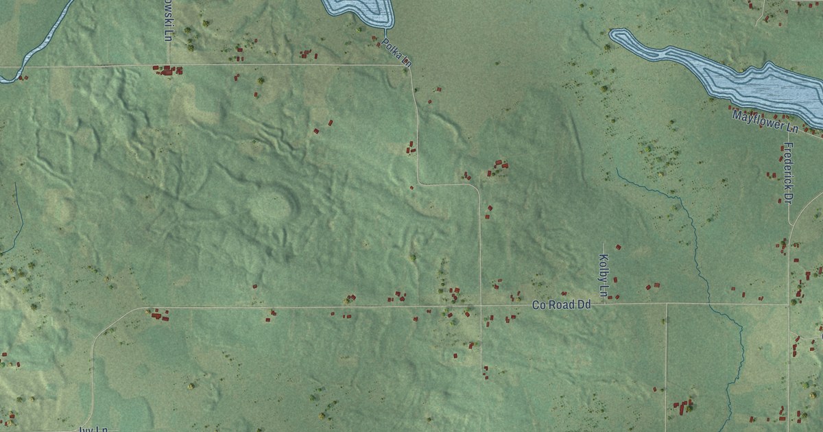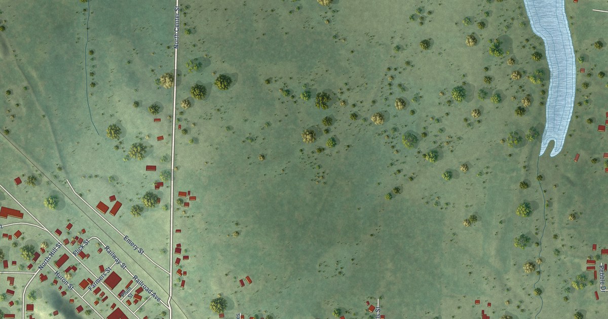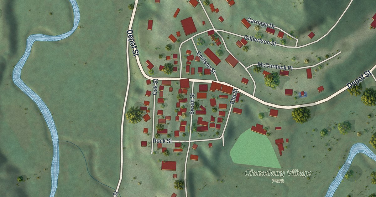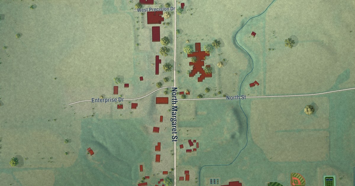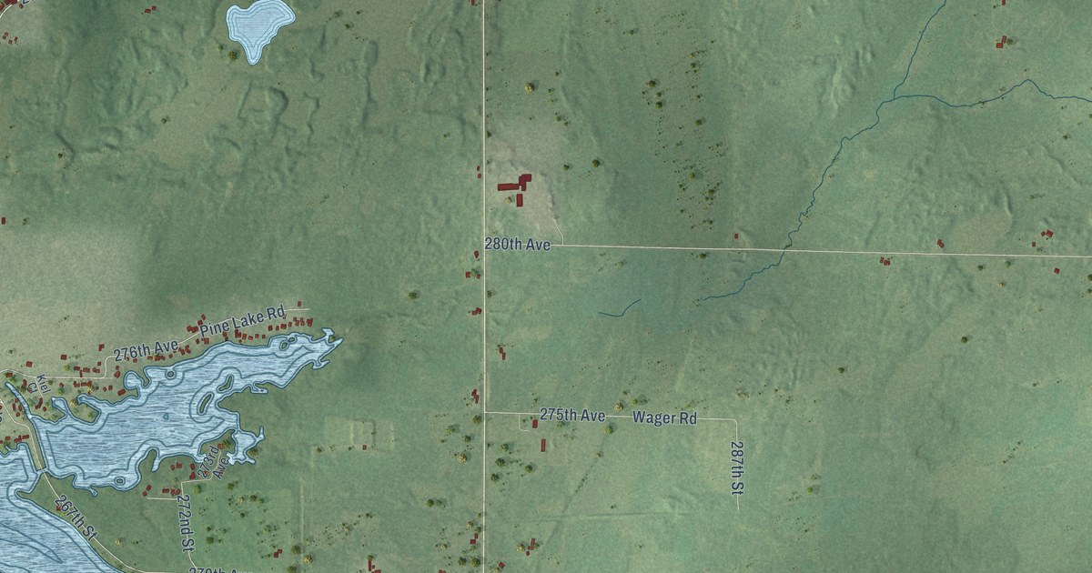
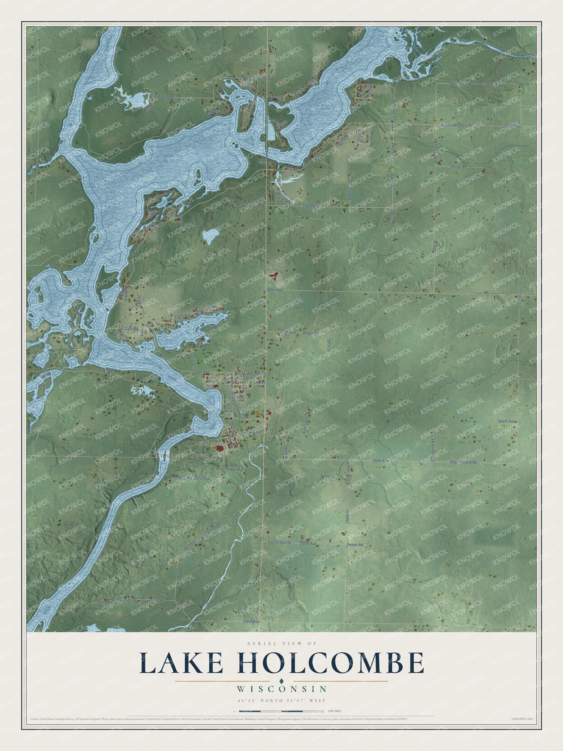
This beautifully detailed map of Lake Holcombe, Wisconsin was created in 2026 using aerial imagery combined with modern topographical, census, street and landmark data. It's a modern aerial view of Lake Holcombe in Chippewa County, Wisconsin, that combines modern data with a vintage aesthetic. The roads feature printed names, and if you look closely you can find your exact house accurately shown in its correct location.
Explore an aerial view of Lake Holcombe, Wisconsin
On this map you'll find Holcombe Town Hall, Holcombe, West Lakeshore Drive, 280th Avenue, 265th Street, Jay Clark Road, 275th Avenue, 276th Avenue, 295th Street, East Lakeshore Drive, 294th Street, 270th Street, and more. Each red shape is a building, so zoom in on the preview and look for yours.
Every town has a first chapter, and Lake Holcombe is no exception. The Town of Lake Holcombe puts it this way: "The current hydro-electric dam was built in 1950 by Wisconsin-Minnesota Light and Power Company, producing what is now known as the Holcombe Flowage."
Lake Holcombe is a town in Chippewa County. The Census Bureau counted 1,011 people here in 2020.
Take a closer look at the Lake Holcombe map
Names on this map
These names are printed on this map.
Places: Holcombe Town Hall and Holcombe.
Streets and roads: West Lakeshore Drive, 280th Avenue, 265th Street, Jay Clark Road, 275th Avenue, 276th Avenue, 295th Street, East Lakeshore Drive, 294th Street, 270th Street, 310th Street, West Fisher Drive.
More street names, A to Z
240 Street, 240th Avenue, 243rd Avenue, 243rd Street, 250th Avenue, 257th Avenue, 259th Avenue, 260th Avenue, 263rd Avenue, 263rd Street, 264th Street, 265th Avenue, 266th Avenue, 266th Street, 267th Street, 268th Avenue, 269 Th Avenue, 269th Street, 270th Avenue, 271st Street, 272nd Street, 273rd Avenue, 273rd Street, 274th Avenue, 275th Street, 276th Street, 278th Street, 279th Street, 281st Street, 284th Street, 285th Street, 287th Street, 289th Avenue, 290th Avenue, 290th Street, 291st Street, 292nd Street, 293rd Street, 294th Avenue, 295th Avenue, 296th Avenue, 297th Avenue, 300th Avenue, 300th Street, 303rd Avenue, 304th Street, 305th Avenue, Andy Morey Road, Bernier Avenue, Chappel Pines Court, Chappel Pines Drive, Chas Smith Road, Dain Road, Devils Nest Road, East Fisher Drive, East Fisher Road, Ed Birch Road, Felski Road, Fisk Street, Fitzpatrick Road, Giebel Road, Gygi Road, Hammer Road, Hammitt Road, Hoghite Road, Hughitt Street, Irvine Avenue, Joe Dam Road, Kiel Court, Main Street, North Shore Drive, Paradise Point Road, Paulsen Road, Pehler Road, Pine Island Road, Pine Lake Road, Sauerkraut Road, South Arnold Road, Timberline Road, Tuffy Road, Wager Road, West Giebel Road, Westley Lake Road, Wick Place, Wildwood Drive.
Created by KNOWOL in 2026. The buildings are small red shapes, the roads carry their printed names, and shaded relief shows the shape of the land. The title panel reads "AERIAL VIEW OF LAKE HOLCOMBE, WISCONSIN" with 45°13' NORTH 91°07' WEST.
Hang it in the hallway, the office or the cabin, or give it to someone who left Lake Holcombe and still calls it home. Open the preview and look for a street you know. See sizes and frames for the Lake Holcombe map.