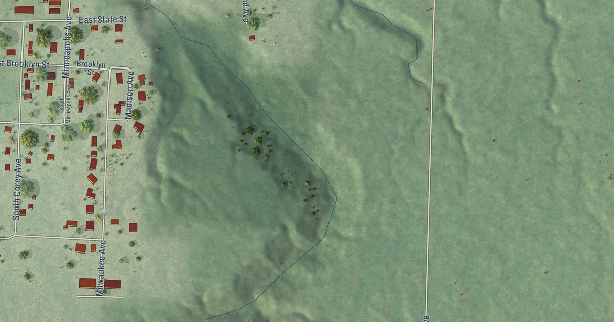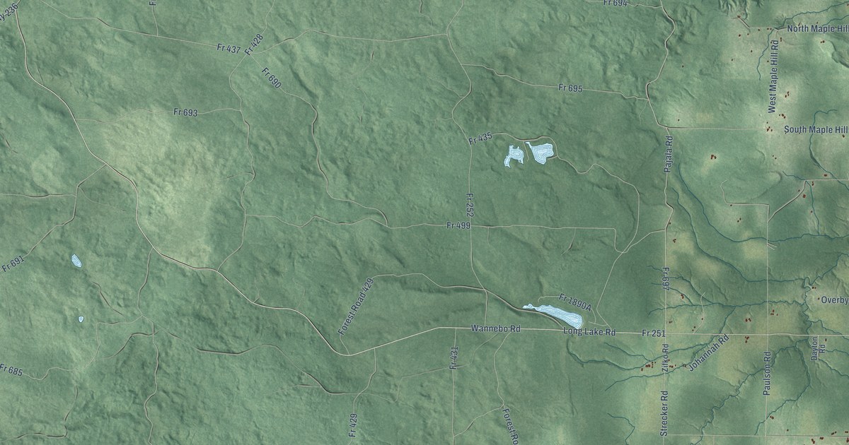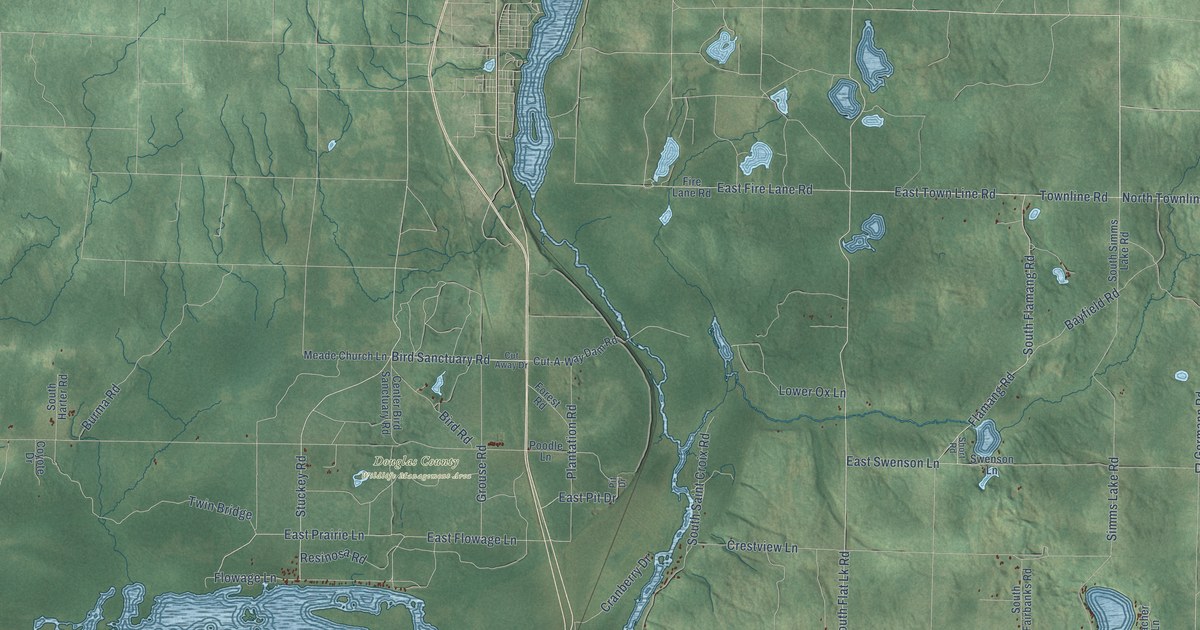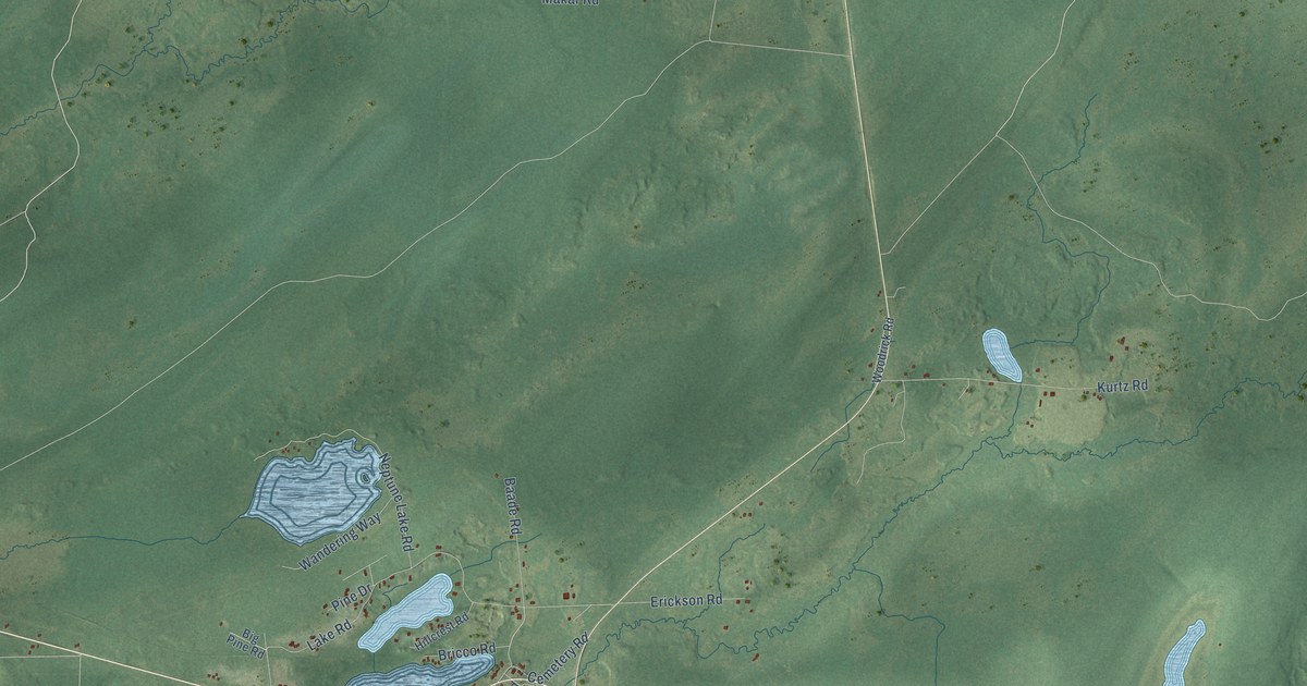
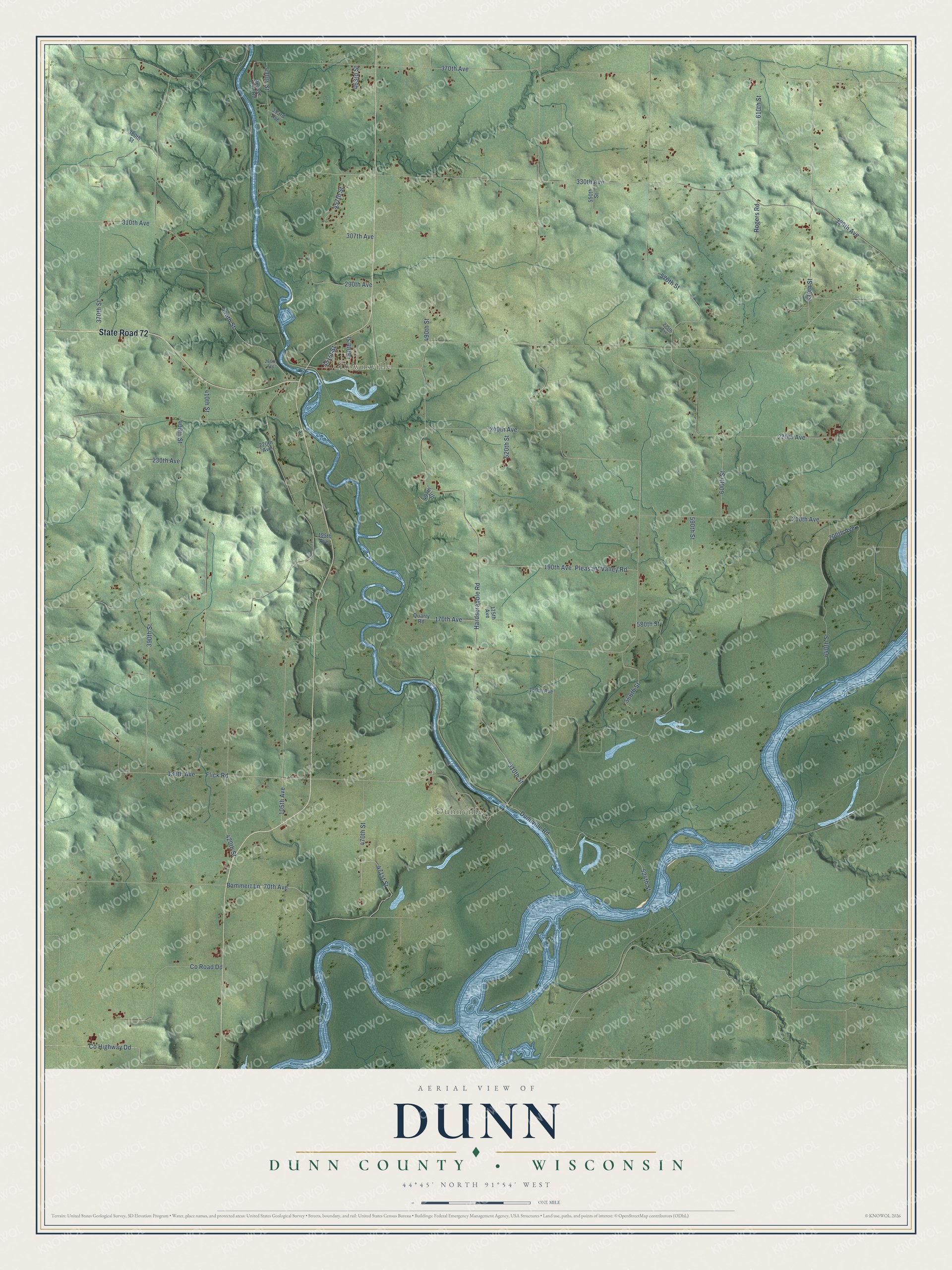
This beautifully detailed map of Dunn, Wisconsin was created in 2026 using aerial imagery combined with modern topographical, census, street and landmark data. It's a modern aerial view of Dunn in Dunn County, Wisconsin, that combines modern data with a vintage aesthetic. The roads feature printed names, and if you look closely you can find your exact house accurately shown in its correct location.
Explore an aerial view of Dunn, Wisconsin
On this map you'll find Downsville, Dunnville, State Road 72, Bammert Lane, 370th Avenue, 390th Street, 240th Avenue, 457th Street, 580th Street, 330th Avenue, 510th Street, Hardscrabble Road, and more. Each red shape is a building, so zoom in on the preview and look for yours.
Here is a piece of Dunn history, in the words of the record. The History of Dunn County Wisconsin puts it this way: "The first survey and plat recorded were made in May, 1859, for B. B. Downs and Ebenezer Thompson and included 22 blocks, whole and fractional, in Sections 34 and 35, Township 27 north of Range 13 west."
Dunn is a town in Dunn County. The Census Bureau counted 1,473 people here in 2020.
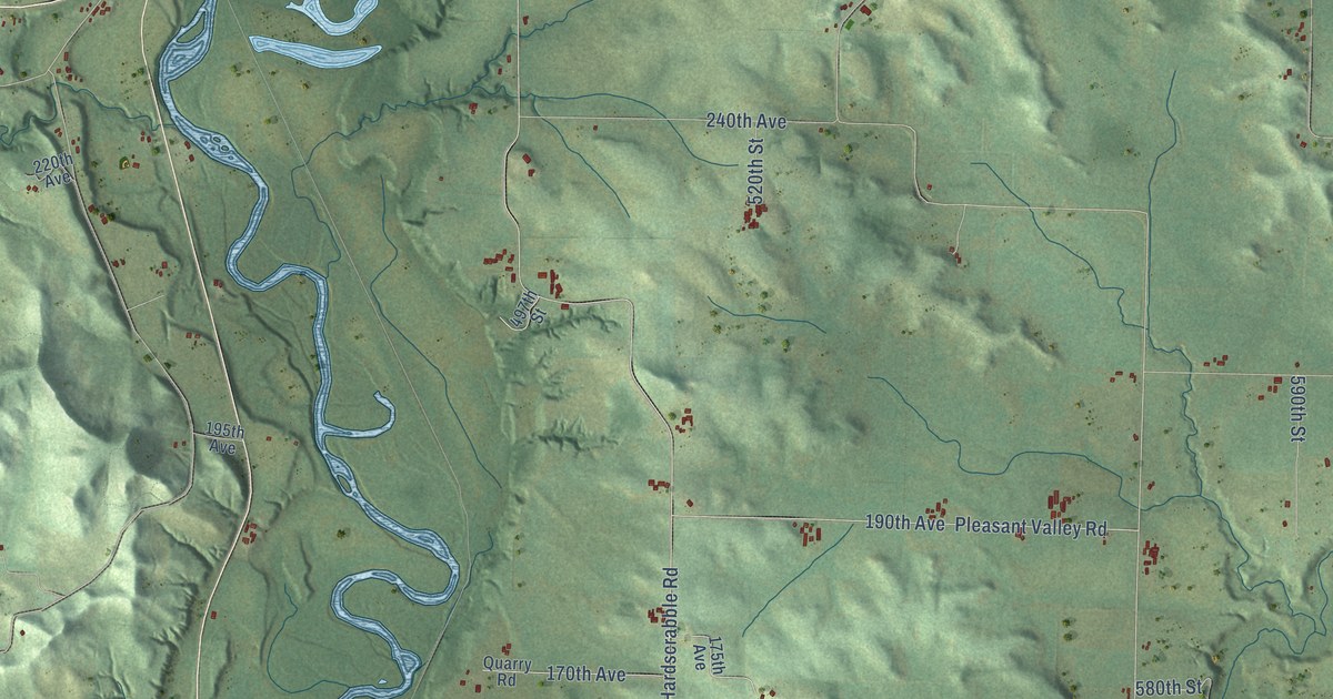
Take a closer look at the Dunn map
Names on this map
These names are printed on this map.
Places: Downsville and Dunnville.
Streets and roads: State Road 72, Bammert Lane, 370th Avenue, 390th Street, 240th Avenue, 457th Street, 580th Street, 330th Avenue, 510th Street, Hardscrabble Road, 440th Street, 570th Street.
More street names, A to Z
70th Avenue, 105th Avenue, 130th Avenue, 150th Avenue, 170th Avenue, 175th Avenue, 190th Avenue, 195th Avenue, 200th Avenue, 210th Avenue, 220th Avenue, 230th Avenue, 260th Avenue, 270th Avenue, 275th Avenue, 290th Avenue, 307th Avenue, 310th Avenue, 329th Avenue, 353rd Avenue, 370th Street, 380th Street, 400th Street, 410th Street, 420th Street, 430th Street, 451st Street, 460th Street, 463rd Street, 470th Street, 471st Street, 490th Street, 497th Street, 520th Street, 524th Street, 550th Street, 566th Street, 590th Street, 600th Street, 610th Street, 630th Street, 640th Street, Beaver Trail Road, County Highway Dd, County Road Dd, Dunnville Road, Flick Road, Pleasant Valley Road, Quarry Road, Rogers Road.
Created by KNOWOL in 2026. The buildings are small red shapes, the roads carry their printed names, and shaded relief shows the shape of the land. The title panel reads "AERIAL VIEW OF DUNN, DUNN COUNTY • WISCONSIN" with 44°45' NORTH 91°54' WEST.
It suits a den, a classroom or a front hall, and it makes a gift for anyone with Dunn roots. Open the preview and find the block you know. See sizes and frames for the Dunn, Dunn County map.