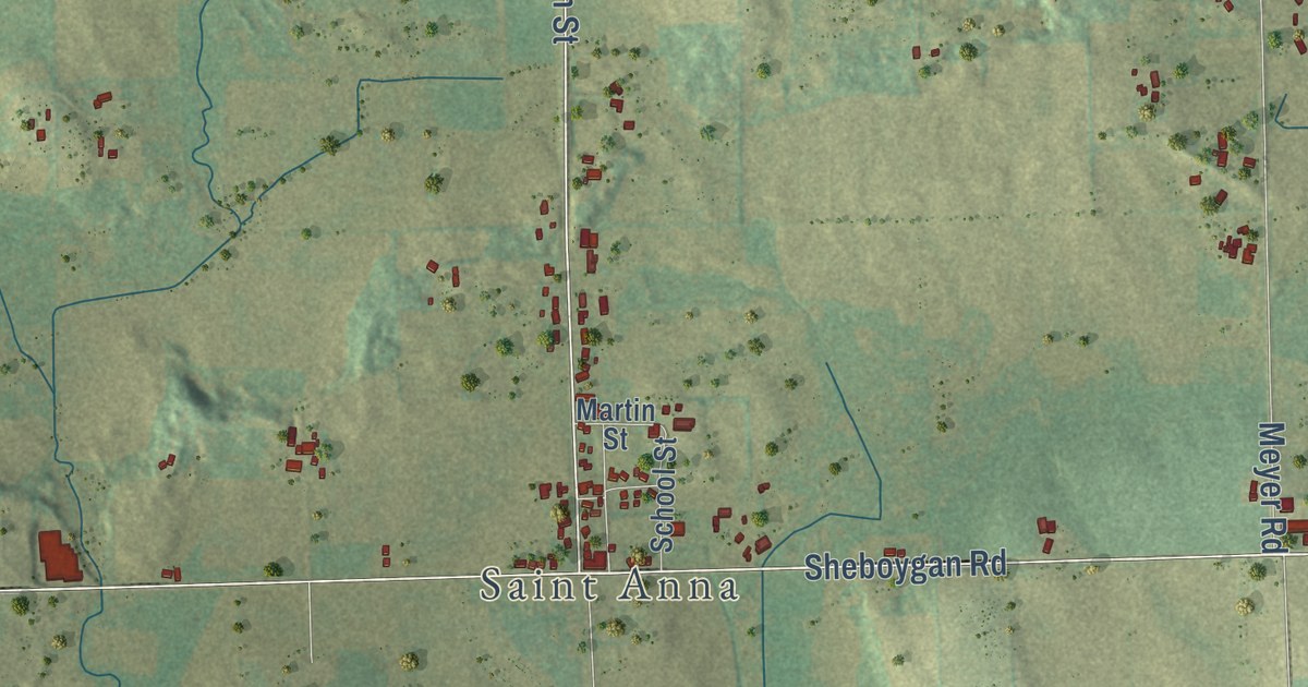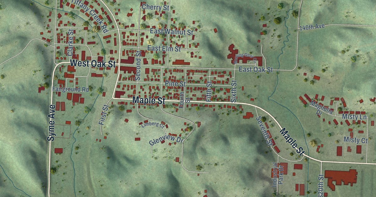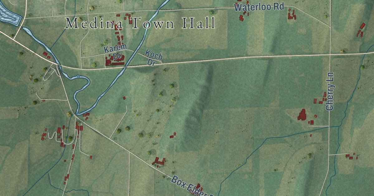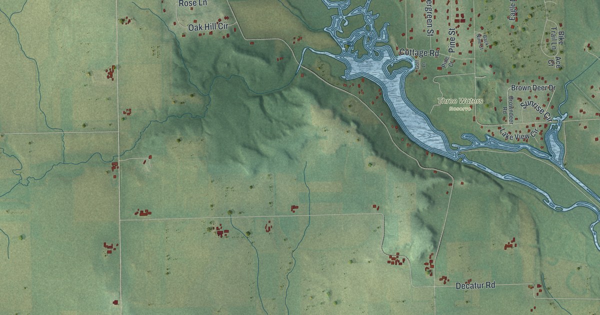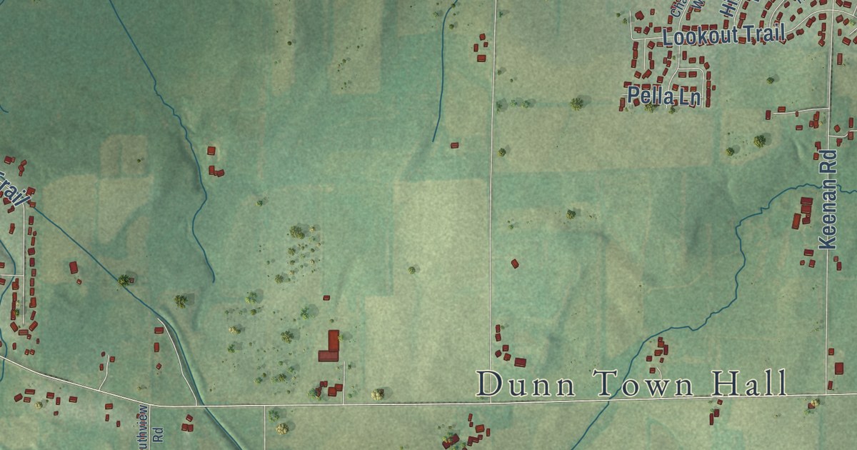
This beautifully detailed map of Dunn, Wisconsin was created in 2026 using aerial imagery combined with modern topographical, census, street and landmark data. It’s a one-of-a-kind view of Dunn that combines accurate data with a vintage aesthetic. The map shows every building in its true location, many of the roads carry their names, and the shaded topographic relief shows the shape of the land.
Explore an aerial view of Dunn, Wisconsin
On the map you’ll find Dunn Town Hall and Bayview Heights, along with Waubesa Avenue, South Badger Road, Rutland Dunn Townline Road, Schneider Drive, County Highway AB, Mahoney Road, Hawkinson Road, Sand Hill Road, Lalor Road, and more. If you look closely you can even find your house accurately drawn in its correct location. Zoom in on the preview to look for yours.
Did you know this piece of Dunn, Wisconsin history?
From A History of Madison: "The town of Dunn was so named by mistake. The inhabitants petitioned to have it called Door, but the Town Clerk mistook the word and called it Dunn."
Looking for a different Dunn? Wisconsin also has Dunn in Dunn County.
Take a closer look at the Dunn map
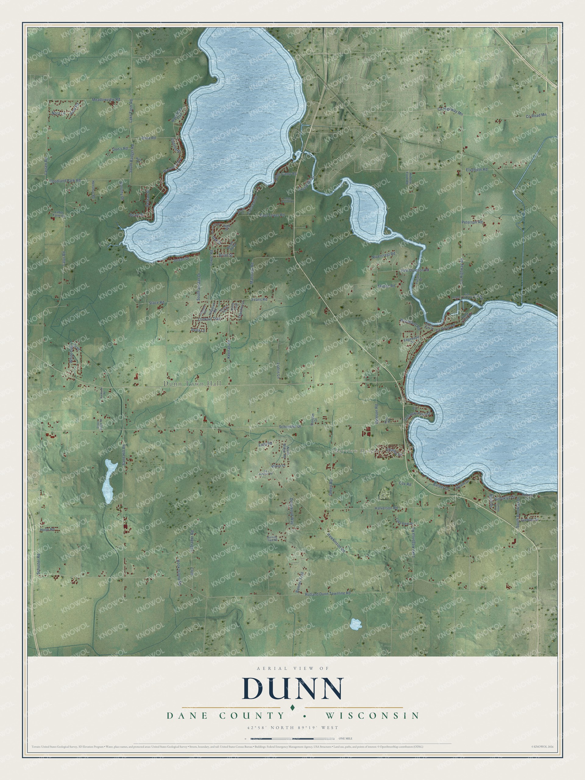
Street and place names on the Dunn, Wisconsin map
These names are printed on the map of Dunn, Wisconsin.
Places: Dunn Town Hall and Bayview Heights.
Streets and roads: Waubesa Avenue, South Badger Road, Rutland Dunn Townline Road, Schneider Drive, County Highway Ab, County Road Ab, Mahoney Road, Hawkinson Road, Sand Hill Road, Lalor Road, Dyreson Road, Halverson Road.
More street names, A to Z
Aalseth Lane, Alma Road, Alsmo Lane, Apple Blossom Lane, Barber Drive, Beale Street, Berkan Street, Bible Camp Road, Bjoin Drive, Bonner Trail, Brian Street, Brooklyn Drive, Bruce Parkway, Burning Tree Road, Charles Lane, Charmany Way, Club, Colladay Point Drive, County Highway Mn, County Road, County Road Mn, Cox Road, Crescent Drive, Don's Road, Dorothy Drive, Dunnwood Way, East Dyreson Road, East Tower Road, Edgewood Drive, Elvehjem Road, Evans Road, Exchange Street, Fish Camp Road, Gannon Street, Giehler Drive, Goodland Park Road, Green Ridge Road, Green Road, Henshue Road, Hidden Farm Road, High Street, Hillpoint Road, Holm Road, Hook Island Road, Jordan Drive, Keenan Road, Labor Farm Drive, Labrador Road, Lake Farm Road, Lake Kegonsa Road, Lake View Drive, Lally Road, Larsen Road, Liatris Lane, Lookout Trail, Meadowview Road, Morris Park Road, Nora Lane, North Wilnor Road, Oak Street, Orvold Park Drive, Pella Lane, Peterson Road, Pinto Trail, Quam Drive, Rivercrest Road, Rons Road, Schuster Road, Skytop Road, South Brooklyn Drive, South Jordan Drive, South Quam Drive, Southview Road, Stace Road, Stenjem Drive, Stony Crest Road, Thatcher Lane, Tower Road, Vic Anderson Road, View Road, Waubesa Hill Road, Waucheeta Trail, White Oak Trail, Wick Drive, Willow Court, Wilnor Drive, Woodland Road, Yahara Drive, Zor Court.
See the Dunn, Wisconsin map on a wall
The Dunn, Dane County map as an 18 x 24 inch print in a black frame.

This beautifully detailed map of Dunn, Dane County makes an attractive addition to your office, library, or den, and it can even be used to teach children the geography and history of the area. It also makes a great gift for someone who left Dunn and still calls it home. When you’re done exploring, click here to get your copy of the Dunn, Dane County map.