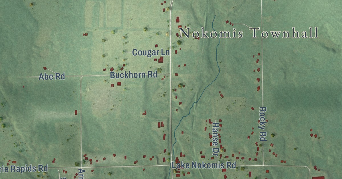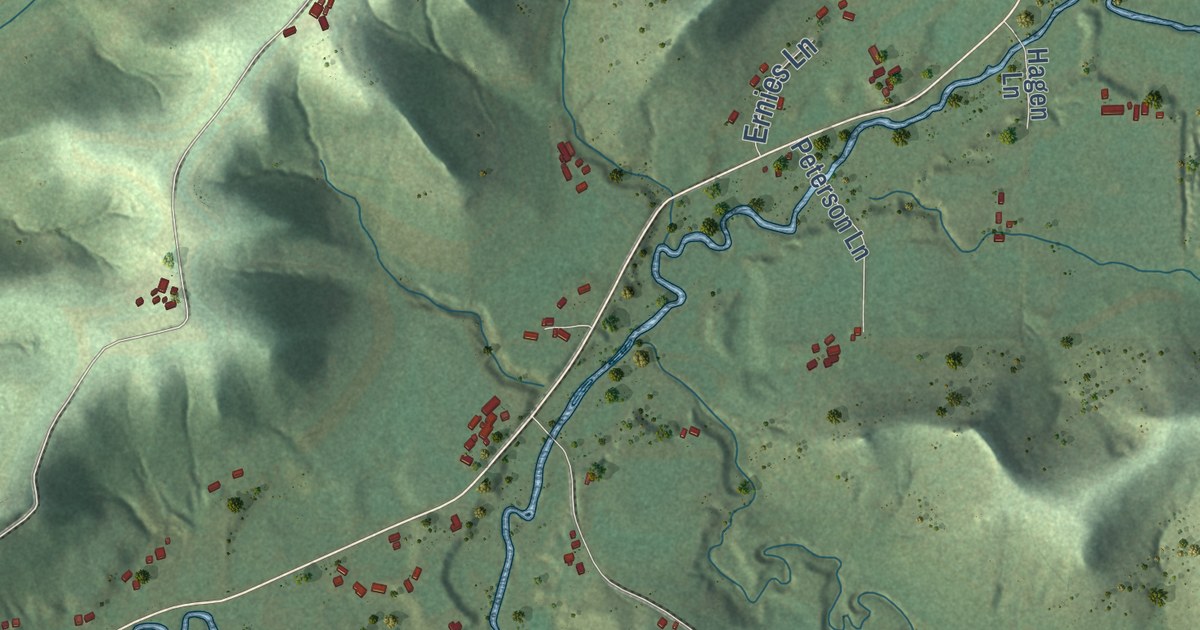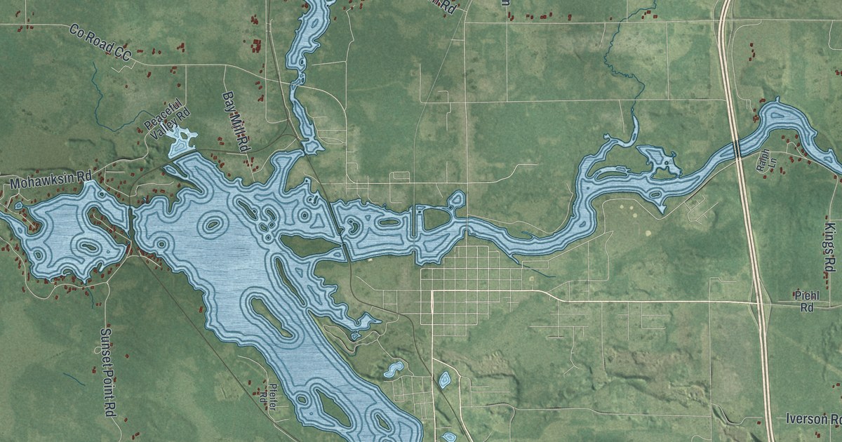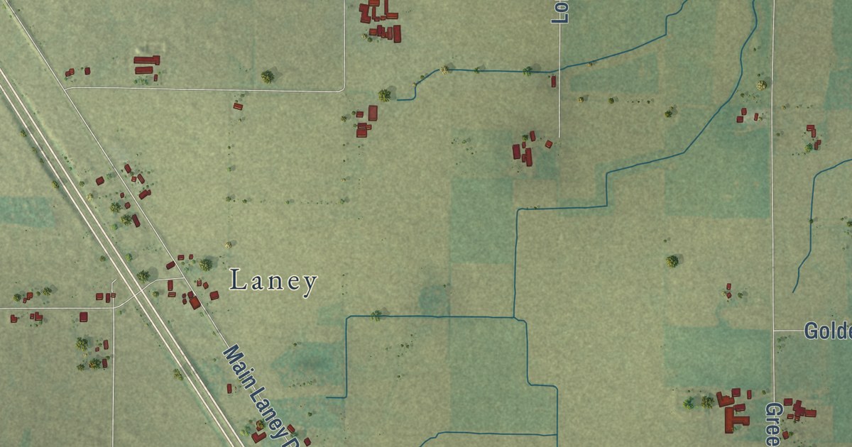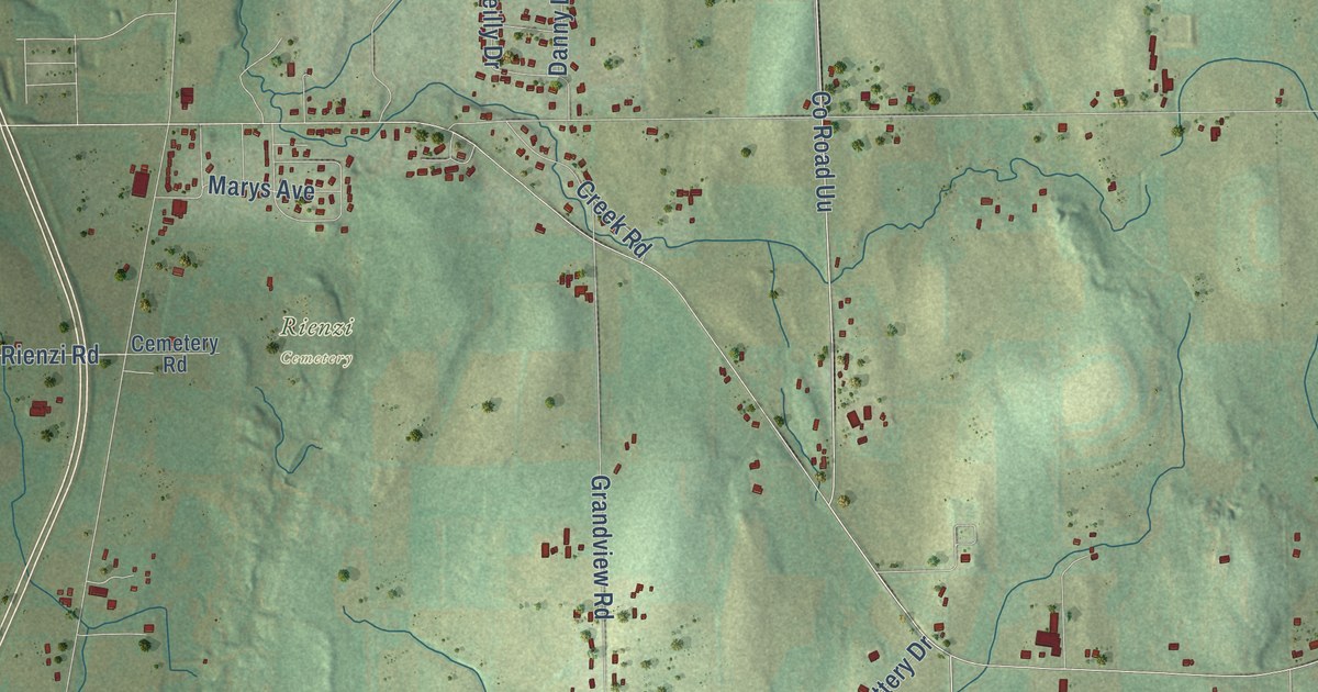
This beautifully detailed map of Empire, Wisconsin was created in 2026 using aerial imagery combined with modern topographical, census, street and landmark data. It’s a one-of-a-kind view of Empire that combines accurate data with a vintage aesthetic. The map shows every building in its true location, many of the roads carry their names, and the shaded topographic relief shows the shape of the land.
Explore an aerial view of Empire, Wisconsin
On the map you’ll find Rienzi Cemetery, along with East Johnson Street, Fond du Lac Avenue, Rienzi Road, County Road UU, Summit Drive, Fourth Street Road, Artesian Road, 7 Hills Road, Seven Hills Road, Grandview Road, Maple Road, and more. If you look closely you can even find your house accurately drawn in its correct location. Zoom in on the preview to look for yours.
Did you know this piece of Empire, Wisconsin history?
From the History of Fond du Lac County: "The first grist or flouring mill was built by Henry Conklin in 1841-42, on Section 7 in the town of Empire."
Take a closer look at the Empire map
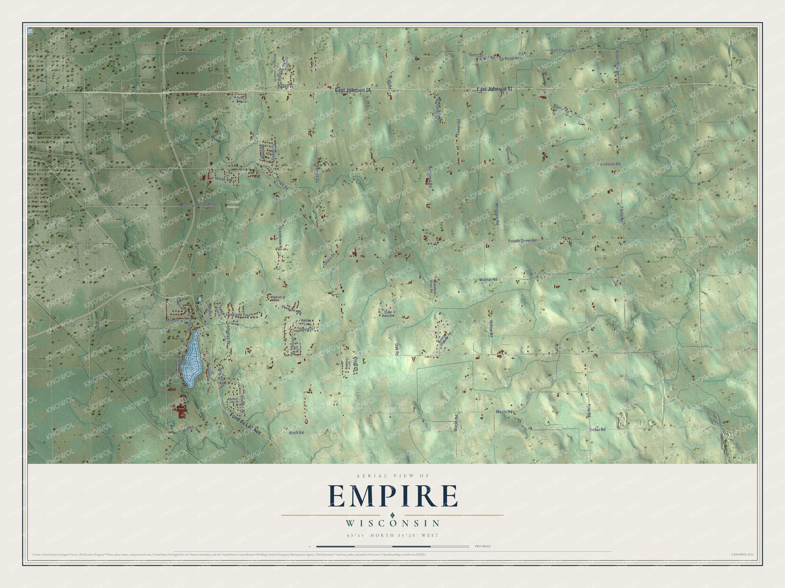
Street and place names on the Empire, Wisconsin map
These names are printed on the map of Empire, Wisconsin.
Places: Rienzi Cemetery.
Streets and roads: East Johnson Street, Fond du Lac Avenue, Rienzi Road, County Road Uu, Summit Drive, Fourth Street Road, Artesian Road, 7 Hills Road, Seven Hills Road, Grandview Road, Maple Road, Golf Course Drive.
More street names, A to Z
Birch Road, Boyke Drive, Buena Vista Drive, Butternut Road, Cedar Road, Cemetery Road, Club de Neveu Drive, Colonial Drive, County Road Aaa, Creek Road, Danny Lane, David Drive, Deneveu Lane, Dondor Drive, Empire Lane, Glacier Court, Golf Course Road, Hilltop Drive, Irene Drive, Kings Court, Lac Vue Court, Lap Road, Ledgetop Drive, Lee Oelke Court, Marsh Road, Mary Hill Park Drive, Marys Avenue, Mill Road, Mountain Road, Oak Acre Drive, Oak Hill Road, Oak Road, Ottery Drive, Overland Trail, Pheasant Run, Pine Road, Poplar Road, Rancho Viejo Road, Reilly Drive, Reinhardt Road, Richards Road, See Vue Drive, Summit Court, Taft Road, Timber Ridge Drive, Tower Road, Valley Drive, Walnut Road, Wendy Lane, Whispering Springs Drive, Whitetail Court, Willow Road.
See the Empire, Wisconsin map on a wall
The Empire map as an 18 x 24 inch print in a black frame.

This beautifully detailed map of Empire makes an attractive addition to your office, library, or den, and it can even be used to teach children the geography and history of the area. It also makes a great gift for anyone with Empire roots. When you’re done exploring, click here to get your copy of the Empire map.