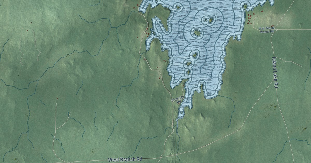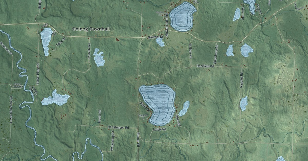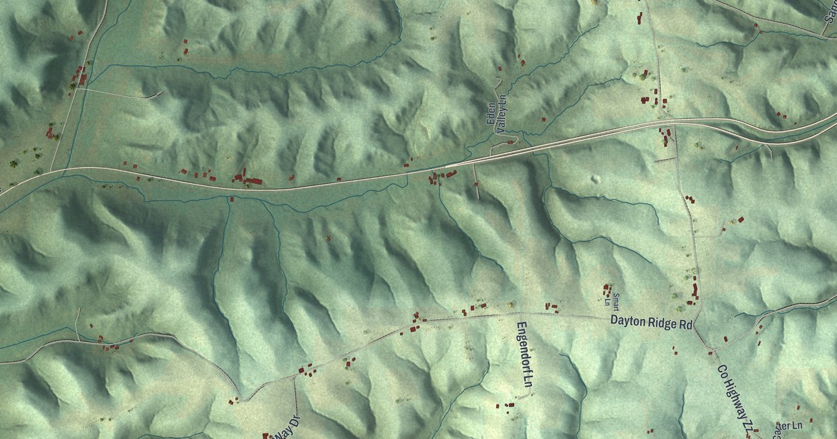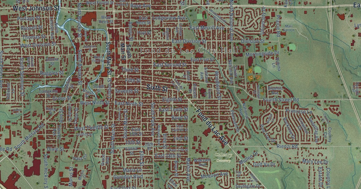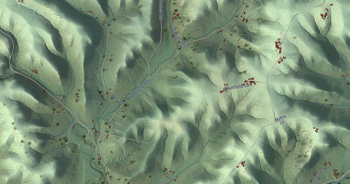
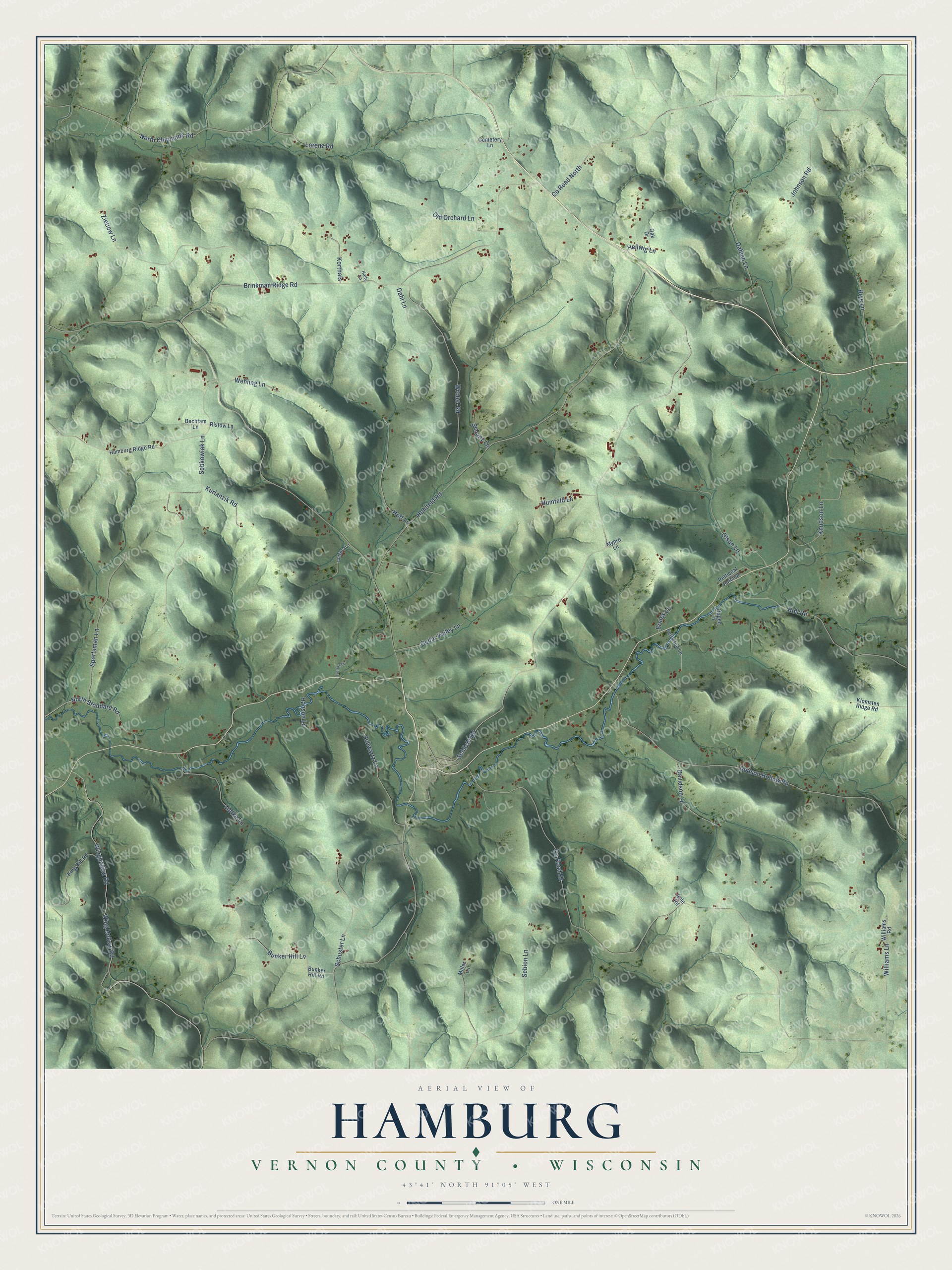
This beautifully detailed map of Hamburg, Wisconsin was created in 2026 using aerial imagery combined with modern topographical, census, street and landmark data. It's a modern aerial view of Hamburg in Vernon County, Wisconsin, that combines modern data with a vintage aesthetic. The roads feature printed names, and if you look closely you can find your exact house accurately shown in its correct location.
Explore an aerial view of Hamburg, Wisconsin
On this map you'll find Schlicht Road, Sportsman Lane, Johnson Road, North Chipmunk Road, Co Road North, Co Road Kk, Brinkman Ridge Road, Hohlfeld Road, Dodson Hollow Road, Sobkowiak Lane, Wrobel Road, Wing Hollow Road, and more. Each red shape is a building, so zoom in on the preview and look for yours.
Every town has a first chapter, and Hamburg is no exception. The Internet Archive puts it this way: "First Battery: Monroe Crawford, Hiram
Buswell, Elijah Caulkins, Peter Carson, Calvin
C."
Hamburg is a town in Vernon County. The Census Bureau counted 956 people here in 2020.
Take a closer look at the Hamburg map
Names on this map
These names are printed on this map.
Streets and roads: Schlicht Road, Sportsman Lane, Johnson Road, North Chipmunk Road, County Road North, County Road Kk, Brinkman Ridge Road, Hohlfeld Road, Dodson Hollow Road, Sobkowiak Lane, Wrobel Road, Wing Hollow Road.
More street names, A to Z
Bechtam Lane, Brye Lane, Bunker Hill Lane, Bunker Hill Road, Cedar Valley Lane, Cemetery Lane, Dahlen Lane, Dahl Lane, Davidson Lane, Ernies Lane, Hagen Lane, Haily Lane, Hamburg Ridge Road, Hanson Lane, Hellwig Lane, Hoff Lane, Humfeld Lane, King Hill Road, Klomsten Ridge Road, Knudson Lane, Koll Road, Korthals, Kurlanzik Road, Langard Lane, Lietke Lane, Lorenz Road, Miller Lane, Myhre Lane, North Stoddard Road, Oak Drive, Old Orchard Lane, Olson Lane, Overson Lane, Peterson Lane, Petticoat Junction, Ristow Lane, Role Road, Schultz Lane, Schuster Lane, Schwartz Lane, Sebion Lane, Wehling Lane, Williams Lane, Williams Road, Winghollow Road, Zietlow Lane.
Created by KNOWOL in 2026. The buildings are small red shapes, the roads carry their printed names, and shaded relief shows the shape of the land. The title panel reads "AERIAL VIEW OF HAMBURG, VERNON COUNTY • WISCONSIN" with 43°41' NORTH 91°05' WEST.
Hang it in the hallway, the office or the cabin, or give it to someone who left Hamburg and still calls it home. Open the preview and look for a street you know. See sizes and frames for the Hamburg, Vernon County map.