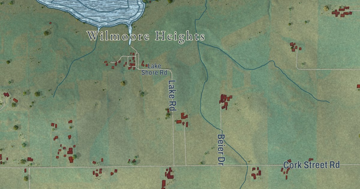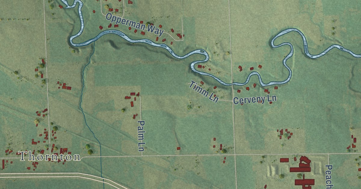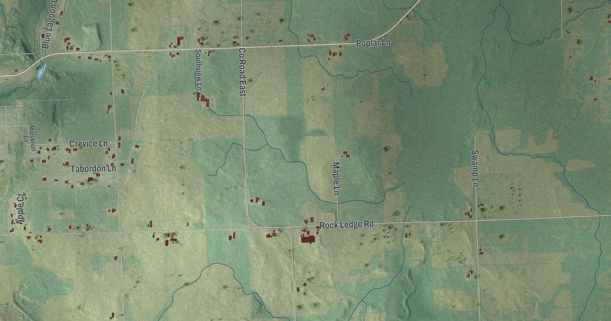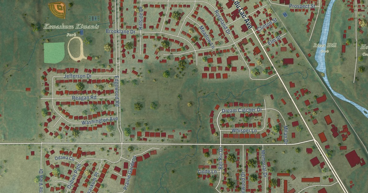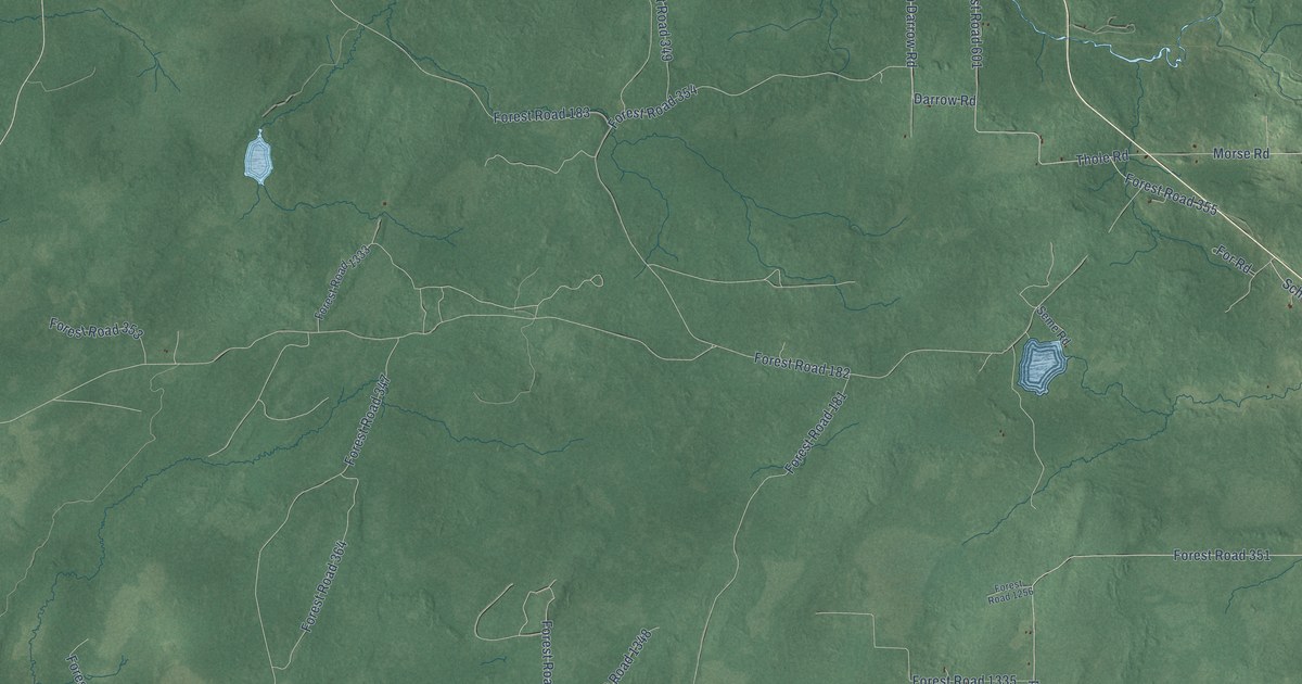
This beautifully detailed map of Gordon, Wisconsin was created in 2026 using aerial imagery combined with modern topographical, census, street and landmark data. It’s a one-of-a-kind view of Gordon that combines accurate data with a vintage aesthetic. The map shows every building in its true location, many of the roads carry their names, and the shaded topographic relief shows the shape of the land.
Explore an aerial view of Gordon, Wisconsin
On the map you’ll find Clam Lake, Morse, Forest Road 1321, Forest Road 601, Forest Road 355, and Forest Road 180, along with County Highway GG, Old Morse Road, Fitch Darrow Road, Gordon Lake Road, Morse Road, Thole Road, and more. If you look closely you can even find your house accurately drawn in its correct location. Zoom in on the preview to look for yours.
Did you know this piece of Gordon, Wisconsin history?
The town of Gordon took its name from Antoine Gordon, a fur trader who came from La Pointe, Wisconsin. Today this Ashland County town takes in the small communities of Clam Lake and Morse.
Looking for a different Gordon? Wisconsin also has Gordon in Douglas County.
Take a closer look at the Gordon map
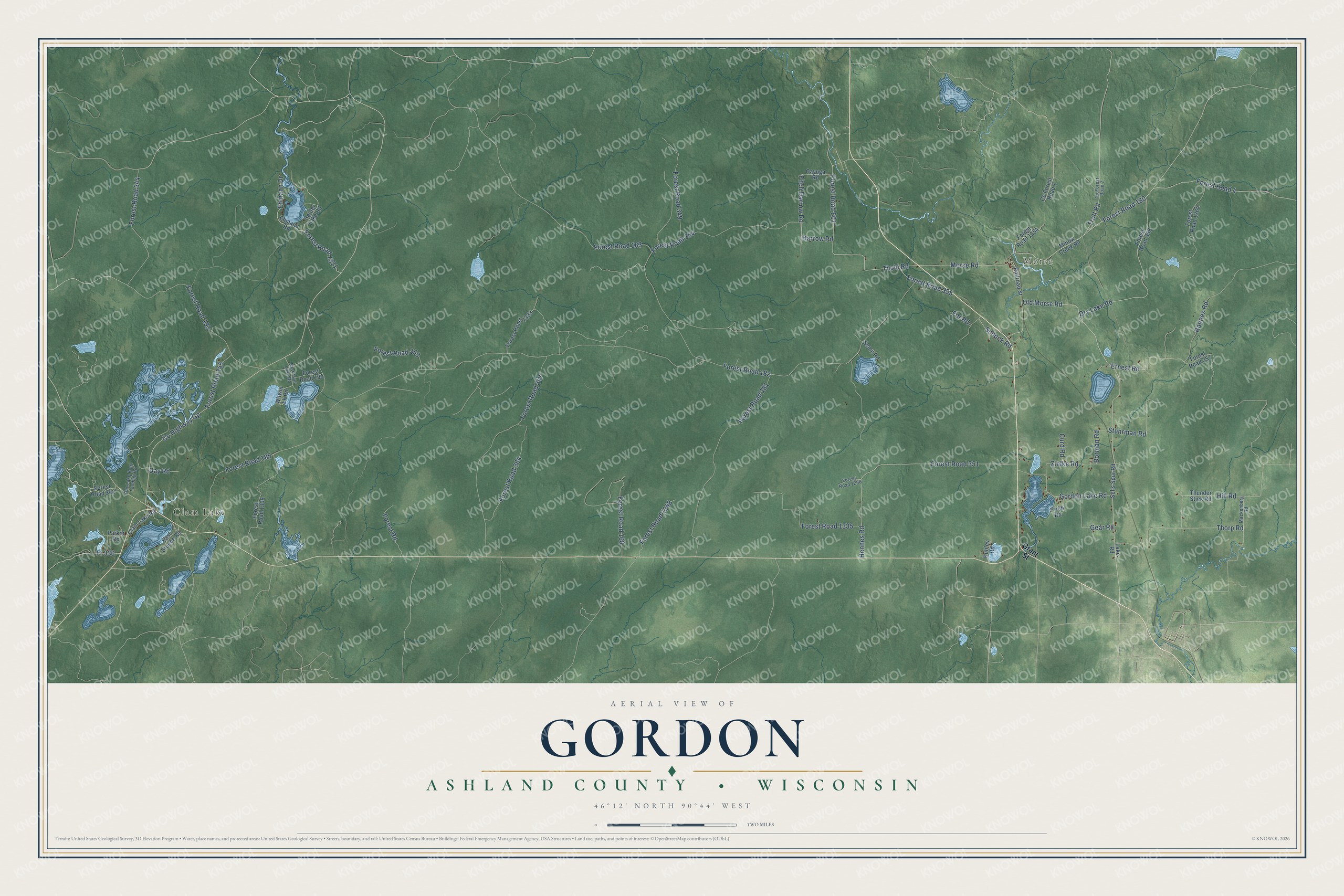
Street and place names on the Gordon, Wisconsin map
These names are printed on the map of Gordon, Wisconsin.
Places: Clam Lake and Morse.
Streets and roads: County Highway Gg, Old Morse Road, Fitch Darrow Road, Gordon Lake Road, Morse Road, Forest Road 1321, Thole Road, Forest Road 601, Forest Road 355, Forest Road 180, Ernest Road, Stuhrman Road.
More street names, A to Z
Borman Road, Cayuga Road, Clam Lake Road, Co Forest Road 1, Co Forest Road 2, Curd Road, Darrow Road, Day Lake Boat Landing Road, Day Road, Dry Lake Road, East Stuebe Road, East Twin Lake Road, Ehmann Drive, Ehmann Road, Forest Road, Forest Road 4, Forest Road 168, Forest Road 181, Forest Road 182, Forest Road 183, Forest Road 190, Forest Road 193, Forest Road 195, Forest Road 342, Forest Road 344, Forest Road 345, Forest Road 347, Forest Road 349, Forest Road 351, Forest Road 353, Forest Road 354, Forest Road 357, Forest Road 358, Forest Road 364, Forest Road 1256, Forest Road 1308, Forest Road 1333, Forest Road 1335, Forest Road 1348, Forest Road 1354, Forest Road 1364, For Road, Fr 336, Gear Road, Grant Street, Hannes Road, Hennes Road, Hill Road, Kubley Road, Lake Road, Mackenberg Road, Minow Creek Road, Parker Road, Prieb Road, Railroad Street, Schock Road, Sells Spur Road, Seme Road, Spider Lake Road, Thorp Road, Thunder Stick Road, Trott Road, Witwin Lk Road, Zielke Road.
See the Gordon, Wisconsin map on a wall
The Gordon, Ashland County map as an 18 x 24 inch print in a black frame.

This beautifully detailed map of Gordon, Ashland County makes an attractive addition to your office, library, or den, and it can even be used to teach children the geography and history of the area. It also makes a great gift for anyone with Gordon roots. When you’re done exploring, click here to get your copy of the Gordon, Ashland County map.