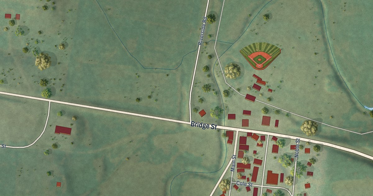
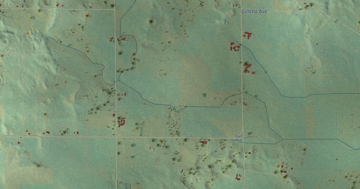
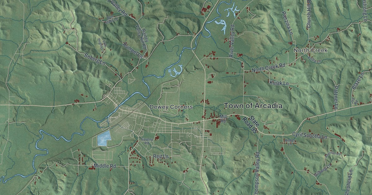
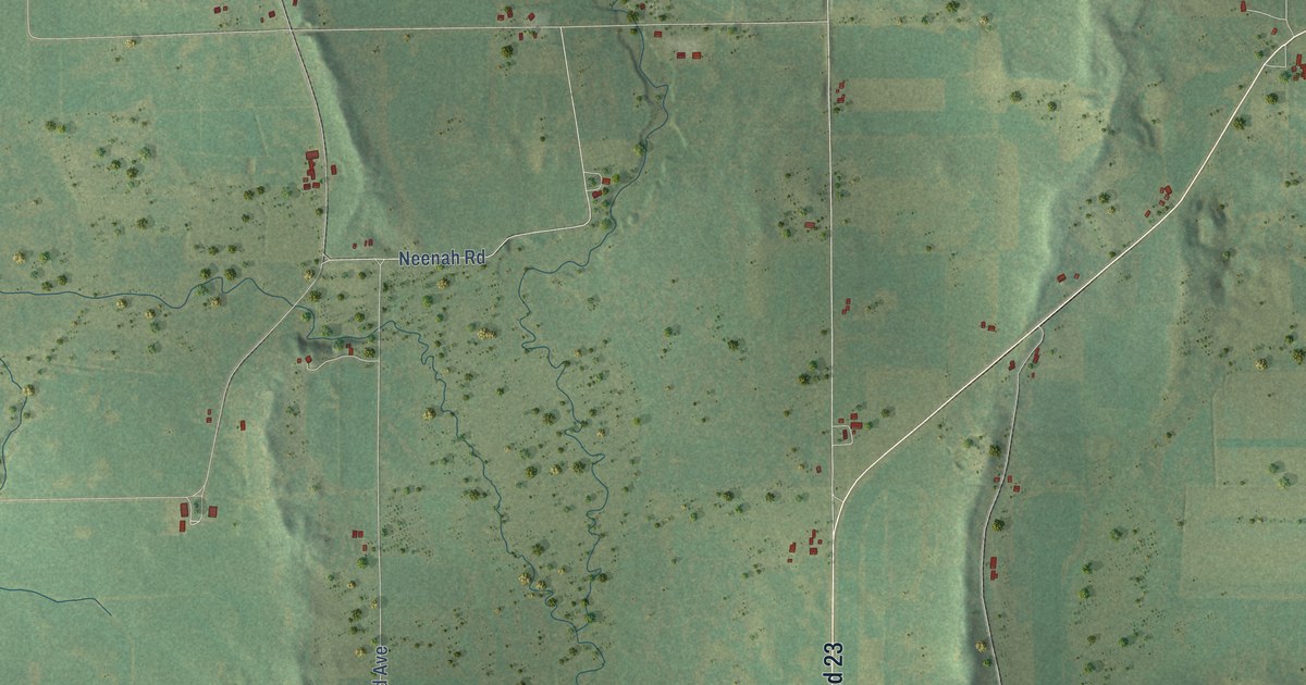
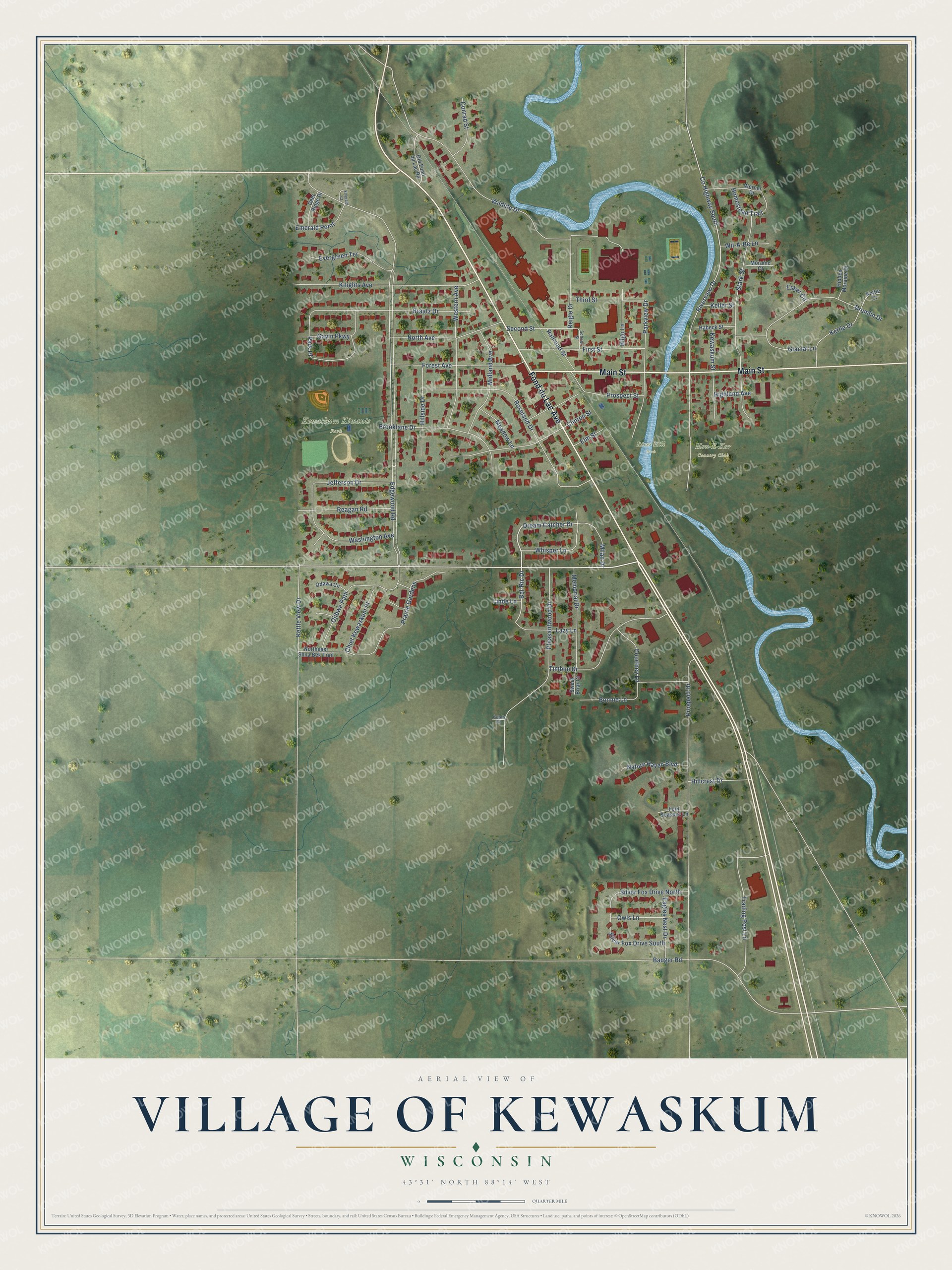
This beautifully detailed map of Kewaskum, Wisconsin was created in 2026 using aerial imagery combined with modern topographical, census, street and landmark data. It's a modern aerial view of Kewaskum in Washington County, Wisconsin, that combines modern data with a vintage aesthetic. The roads feature printed names, and if you look closely you can find your exact house accurately shown in its correct location.
Explore an aerial view of Kewaskum, Wisconsin
On this map you'll find Hon-E-Kor Country Club, Kewaskum Kiwanis Park, River Hill Park, Fond du Lac Avenue, Main Street, Dream Catcher Drive, Bel-Ric Drive, Edgewood Road, Prospect Drive, Riverview Drive, Badger Road, Roseland Drive, and more. Each red shape is a building, so zoom in on the preview and look for yours.
Here is a piece of Kewaskum history, in the words of the record. The History of Washington and Ozaukee Counties puts it this way: "In 1852, J. H. Myer built the first log house on the bank of Milwaukee River, in the then prospective village of Kewaskum. In the fall of the same year he built a saw-mill, and commenced a grist-mill in 1854, which he finished in 1856."
Kewaskum is a village in Washington County. The Census Bureau counted 4,309 people here in 2020.
Take a closer look at the Kewaskum map
Names on this map
These names are printed on this map.
Places: Hon-E-Kor Country Club, Kewaskum Kiwanis Park and River Hill Park.
Streets and roads: Fond du Lac Avenue, Main Street, Dream Catcher Drive, Bel-Ric Drive, Edgewood Road, Prospect Drive, Riverview Drive, Badger Road, Roseland Drive, Pleasantwood Drive, Stark Street, County Highway South.
More street names, A to Z
Bilgo Lane, Bonnie Lane, Braatz Drive, Brooklane Drive, Caleb Drive, Chief Kewaskum Place, Clinton Street, Conrad Street, Courtney Lane, Deer Ridge Drive, Drumlin Drive, Eagles Nest Drive, Elm Street, Emerald Court, Emerald Point, Esker Circle, Evergreen Terrace, First Street, Forest Avenue, Four Seasons Lane, Gavin Parkway, Glacial Lane, Habeck Street, Hidden Moraine Drive, Highland Avenue, Hillcrest Drive, Hillside Drive, Homestead Trail, Jefferson Drive, Keller Street, Kettle Court, Kettle Drive, Kettle View Drive, Kewaskum Street, Knights Avenue, Lazy Lane, Linde Lane, Meadow Lane, Memorial Drive, Midland Avenue, Milan Drive, Moraine Court, Nature Haven Boulevard, North Avenue, Northeast Shna Bek Trail, Odawa Circle, Ojibwe Path, Old Fond du Lac Road, Owls Lane, Park Place, Parkview Drive, Prairie Gardens, Prospect Street, Railroad Street, Reagan Road, Reigle Drive, School Street, Second Street, Silver Fox Drive North, Silver Fox Drive South, Sweet Briar Court, Third Street, Timblin Drive, Trading Post Lane, Washington Avenue, Werner Drive, Western Avenue, Whisper Lane, Wil-A-Be Lane, Wildlife Drive.
Created by KNOWOL in 2026. The buildings are small red shapes, the roads carry their printed names, and shaded relief shows the shape of the land. The title panel reads "AERIAL VIEW OF VILLAGE OF KEWASKUM, WISCONSIN" with 43°31' NORTH 88°14' WEST.
It suits a den, a classroom or a front hall, and it makes a gift for anyone with Kewaskum roots. Open the preview and find the block you know. See sizes and frames for the Kewaskum map.