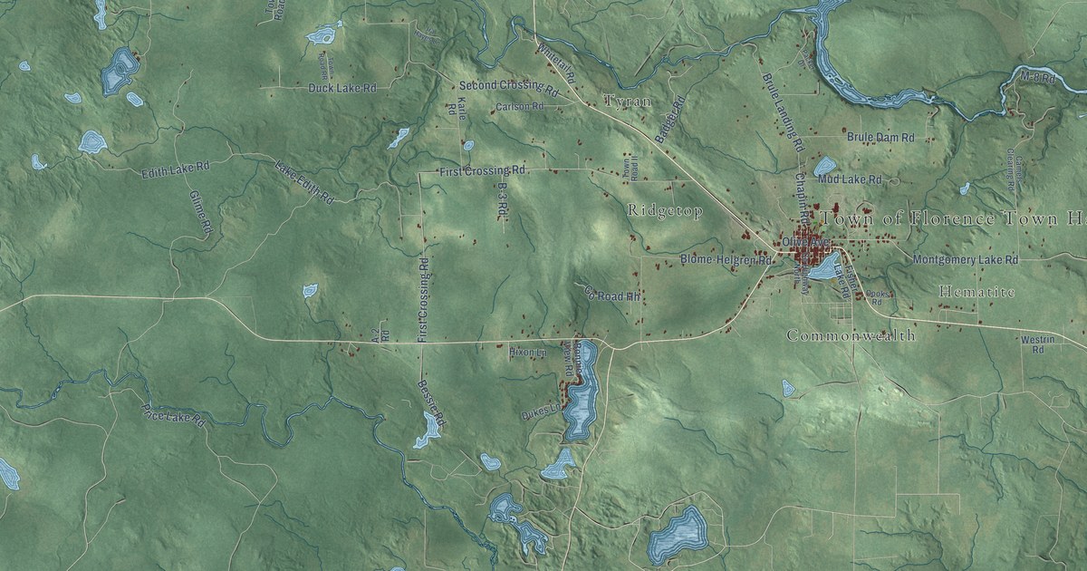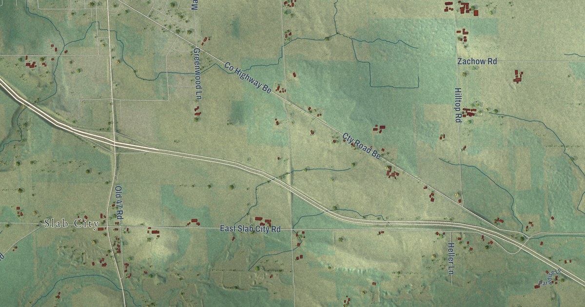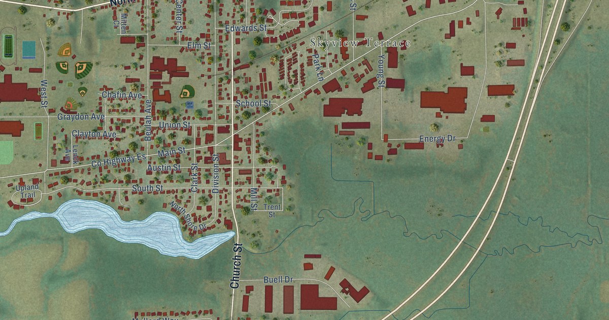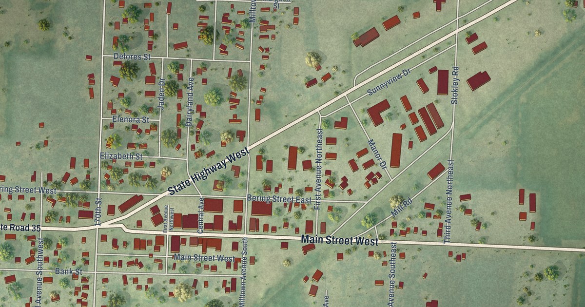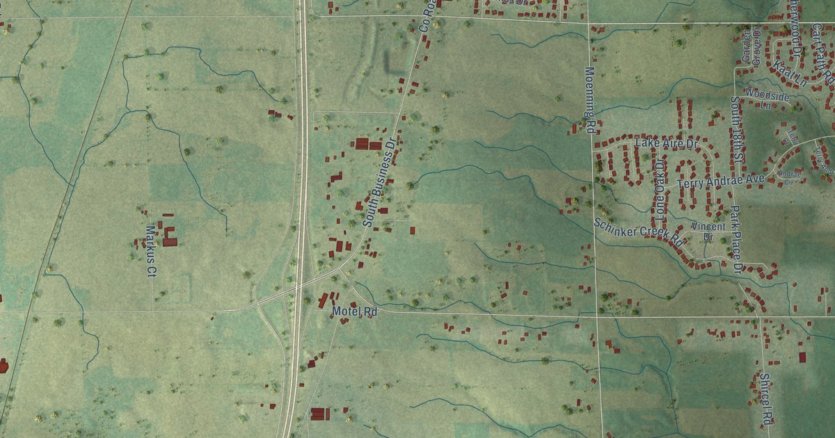
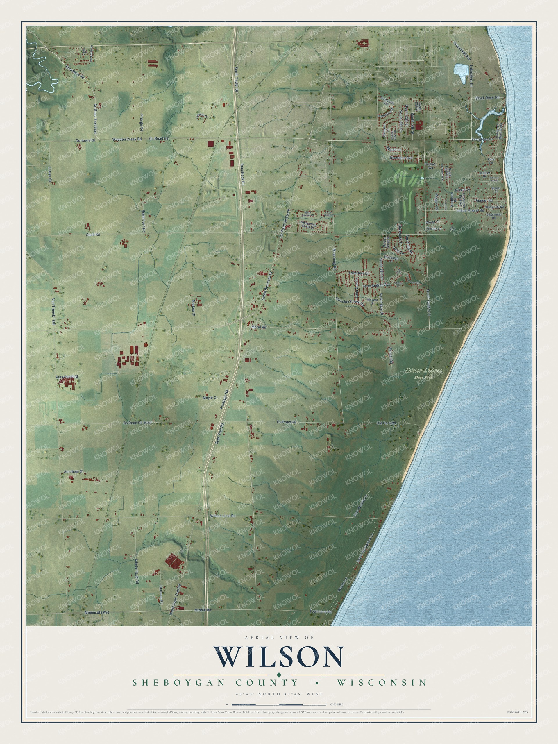
This beautifully detailed map of Wilson, Wisconsin was created in 2026 using aerial imagery combined with modern topographical, census, street and landmark data. It's a modern aerial view of Wilson in Sheboygan County, Wisconsin, that combines modern data with a vintage aesthetic. The roads feature printed names, and if you look closely you can find your exact house accurately shown in its correct location.
Explore an aerial view of Wilson, Wisconsin
On this map you'll find Kohler-Andrae State Park, Stahl Road, Co Road Ee, Broadway Road, Ourtown Road, Weeden Creek Road, Racetrack Road, South Taylor Drive, Co Road Kk, South Twelfth Street, Minnesota Avenue, Co Road Ok South, and more. Each red shape is a building, so zoom in on the preview and look for yours.
Wilson has a story worth telling. The History of Sheboygan County puts it this way: "About 1846 all of the territory now comprising Wilson town was separated from Sheboygan town and organized. The first town meeting was held at Graham's store in the city of Sheboygan and the name of Wilson was given the new organization in honor of its first settler."
Wilson is a town in Sheboygan County. The Census Bureau counted 3,484 people here in 2020.
Take a closer look at the Wilson map
Names on this map
These names are printed on this map.
Places: Kohler-Andrae State Park.
Streets and roads: Stahl Road, County Road East East, County Road Ee, Broadway Road, Ourtown Road, Weeden Creek Road, Racetrack Road, South Taylor Drive, County Road Kk, South Twelfth Street, Minnesota Avenue, County Road Ok South.
More street names, A to Z
Abraham Court, Andrae Circle, Black River Road, Bleyer Drive, Cart Path Road, Claver Court, County Road Ok West, Edgewater Road, Evergreen Drive, Evergreen Drive North, Frontage Road, Garden Grove Drive, Greenfield Avenue, Hartman Road, Hillside Drive, Indian Mound Road, Juniper Drive, Kaat Lane, Kurscheidt Court, Lafayette Drive, Lake Aire Drive, Lakeshore Drive, Lone Oak Drive, Lonesome Pine Road, Maple Lane, Markus Court, Meggers Road, Meyer Court, Middle Road, Minderhaud Road, Moenning Road, Motel Road, North Sauk Trail Road, Old Park Road, Panther Avenue, Paradise Lane, Park Place Drive, Pheasant Lane, Pine Lane, Pine Woods Lane, Pioneer Road, Plainwood Drive, Prairie View Road, Prairie Winds Court, Prange Road, Riverdale Avenue, River Trail, Roehrborn Road, Sauk Trail Road, Schinker Creek Road, Sherwood Drive, Shircel Road, South 13th Street, South 14th Street, South 15th Street, South 16th Street, South 18th Street, South Business Drive, South Eighth Street, South Ninth Street, South Sandwood Lane, Sunnyside Avenue, Terry Andrae Avenue, Terry Andrae Terrace, Terry Court, Timberline Lane, Town Line Road, Valley Court, Van Treeck Trail, Vincent Drive, Wahgouly Road, Weeks Lane, Whispering Winds Drive, Whitetail Run Lane, Wilson Lima Road, Wind Dancer Court, Wood Court, Woodland Road, Woodside Lane, Zientek Lane.
Created by KNOWOL in 2026. The buildings are small red shapes, the roads carry their printed names, and shaded relief shows the shape of the land. The title panel reads "AERIAL VIEW OF WILSON, SHEBOYGAN COUNTY • WISCONSIN" with 43°40' NORTH 87°46' WEST.
It looks right in a kitchen, an office or a den, and it's a gift for anyone who grew up in Wilson or moved away. Open the preview and find your street. See sizes and frames for the Wilson, Sheboygan County map.