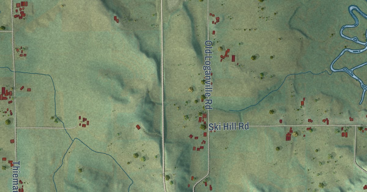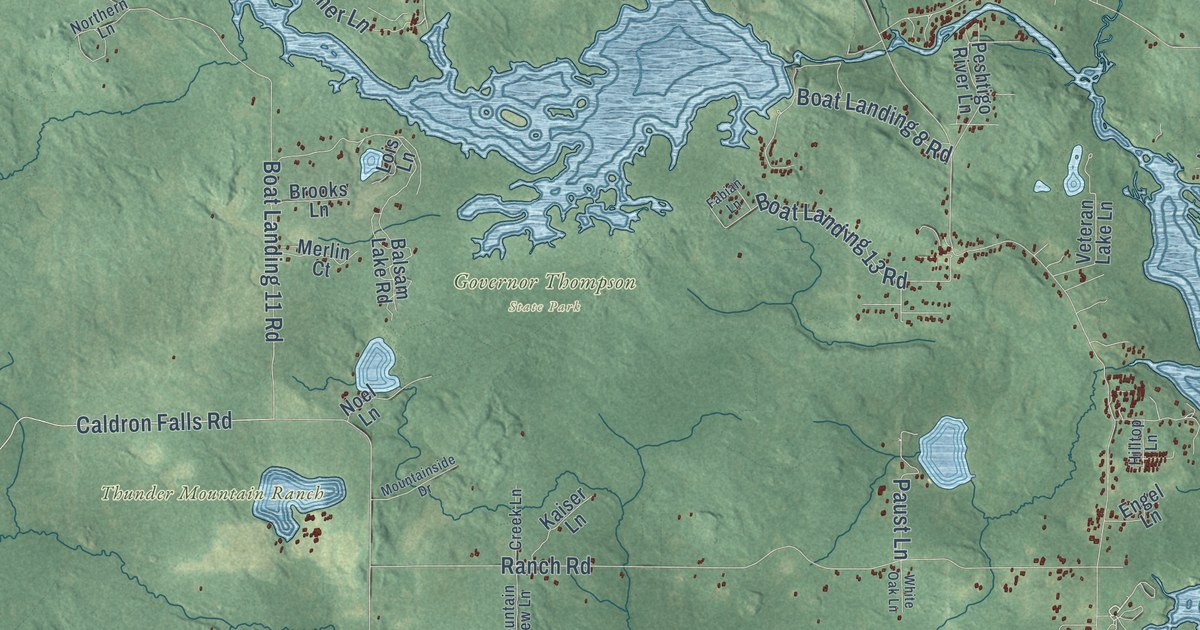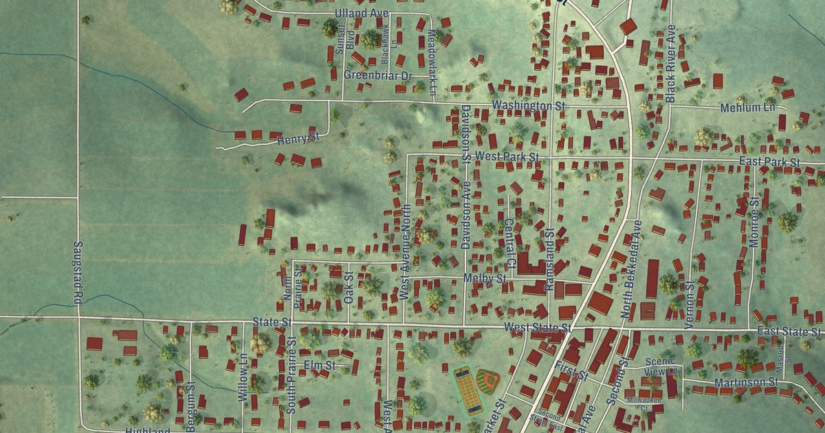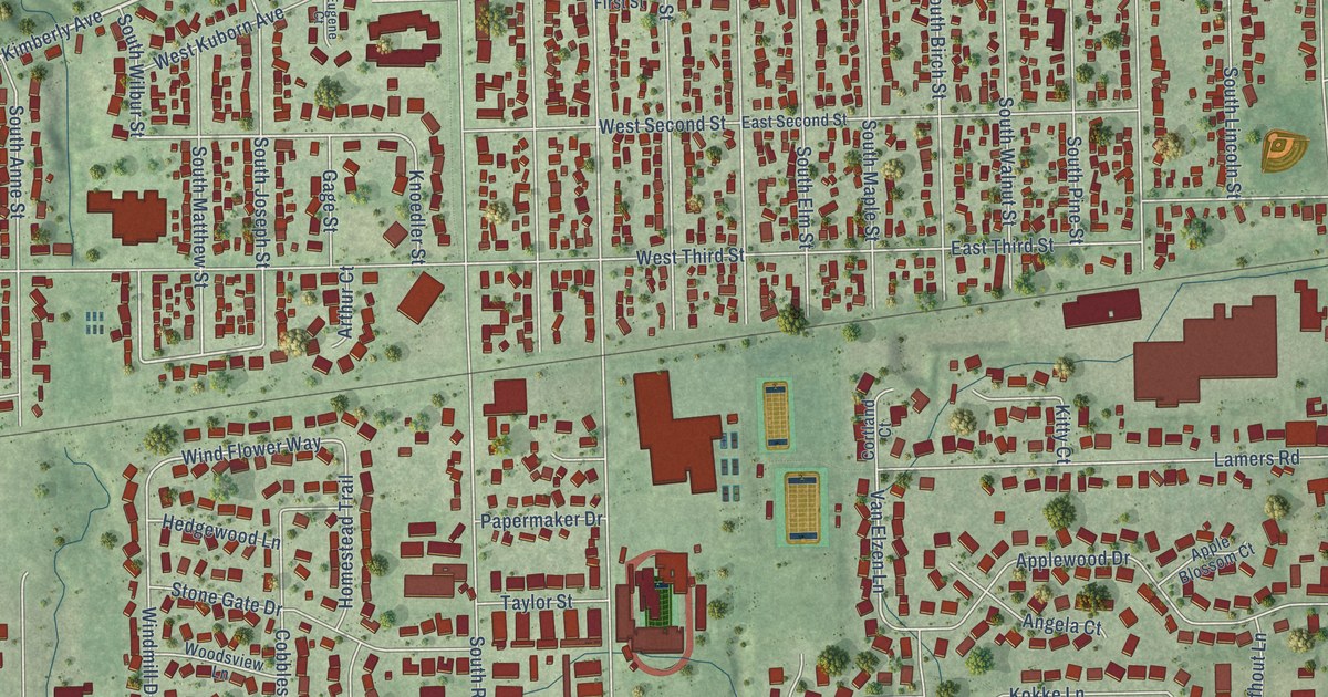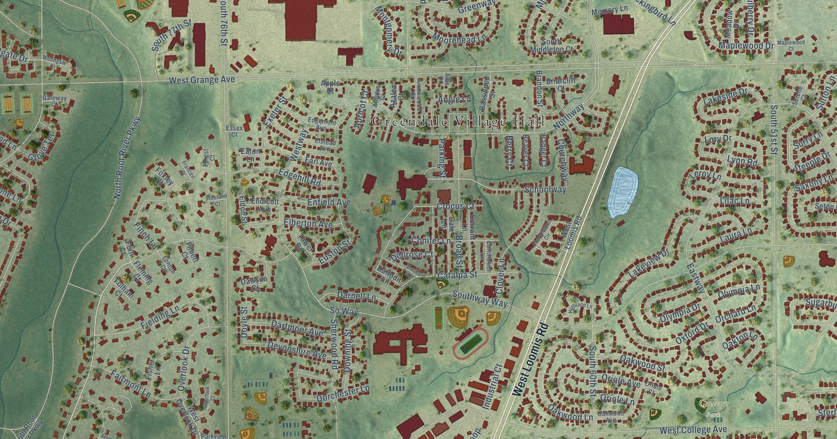
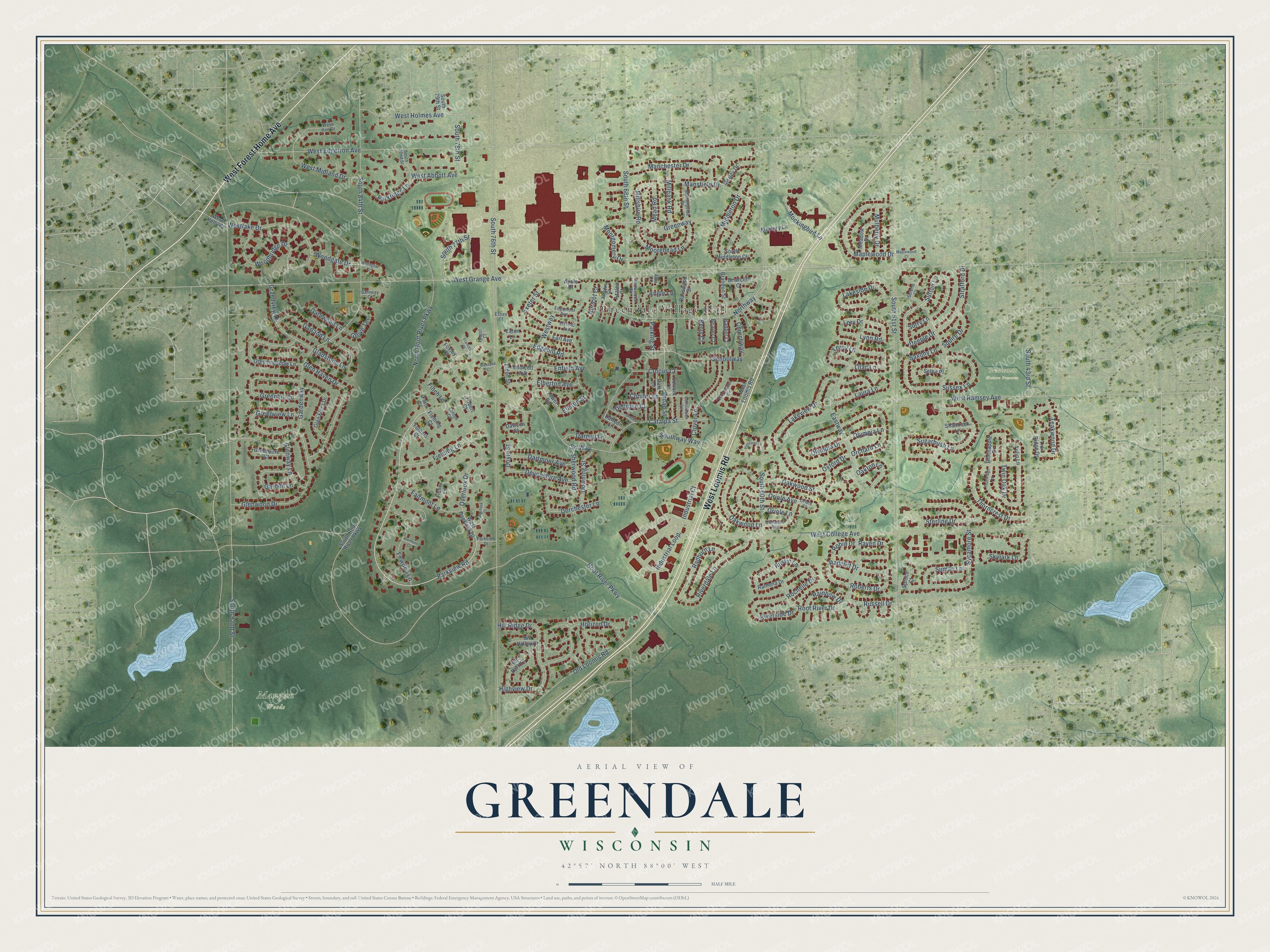
This beautifully detailed map of Greendale, Wisconsin was created in 2026 using aerial imagery combined with modern topographical, census, street and landmark data. It’s a one-of-a-kind view of Greendale that combines accurate data with a vintage aesthetic. The map shows every building in its true location, many of the roads carry their names, and the shaded topographic relief shows the shape of the land.
Explore an aerial view of Greendale, Wisconsin
On the map you’ll find Greendale Village Hall, College Park, Grootemat Nature Preserve, and Mangan Woods, along with West Loomis Road, West Forest Home Avenue, Parkview Road, North Root River Parkway, Steeple Drive, Sutton Lane, Rochelle Drive, West Abbott Avenue, and more. If you look closely you can even find your house accurately drawn in its correct location. Zoom in on the preview to look for yours.
Did you know this about Greendale, Wisconsin?
From the Village of Greendale: "Greendale continues to serve as a successful model of a planned community with its pathways, green space, unique homes and historic civic buildings. Greendale is one of fewer than 2,500 historic landmarks in the country."
Take a closer look at the Greendale map
Street and place names on the Greendale, Wisconsin map
These names are printed on the map of Greendale, Wisconsin.
Places: Greendale Village Hall, College Park, Grootemat Nature Preserve and Mangan Woods.
Streets and roads: West Loomis Road, West Forest Home Avenue, Parkview Road, North Root River Parkway, Steeple Drive, Sutton Lane, Rochelle Drive, West Abbott Avenue, So Way, Northway, Oakwood Lane, Schoolway.
More street names, A to Z
Alba Court, Angle Lane, Apple Court, Apricot Court, Arbutus Court, Arrowwood Street, Azalea Court, Badger Court, Basswood Street, Beaver Court, Berry Court, Brandon Street, Briarclift Court, Broad Street, Catalpa Street, Churchway, Churchwood Circle, Clover Lane, Conifer Lane, Cornflower Lane, Crocus Court, Currant Lane, Daffodil Lane, Dahlia Lane, Dale Lane, Darnell Lane, Dartmoor Avenue, Dawson Court, Dellrose Court, Devonshire Avenue, Dorchester Lane, Downing Street, Doyle Street, Earl Avenue, Eastway, Eaton Lane, Edgehill Road, Edgemont Avenue, Elberton Avenue, Eldon Street, Elstead Avenue, Endicott Avenue, Enfield Avenue, Essex Court, Euston Street, Exeter Street, Fairmont Lane, Fenton Court, Fern Court, Fielding Lane, Filbert Court, Finch Lane, Firwood Lane, Fisher Lane, Fleming Court, Forest Court, Foxley Court, Frances Court, Freeland Court, Fremont Court, Fulham Court, Garden Lane, Gardenway, Garland Lane, Gateway Court, Gatewood Lane, Gladstone Lane, Glen Flora Drive, Glen Haven Drive, Glenway Lane, Glenwood Drive, Grandview Drive, Greenacre Court, Greenhill Lane, Greenmeadow Lane, Greenview Lane, Greenway, Grove Terrace, Highland Lane, Highview Drive, Hill Park Court, Hill Ridge Drive, Hill Valley Court, Horizon Drive, Industrial Court, Industrial Loop, Lakeside Drive, Lakeview Drive, Laura Lane, Leroy Lane, Lilac Lane, Lory Drive, Lynn Road, Manchester Drive, Mansfield Drive, Maplewood Court, Maplewood Drive, Meadow Drive, Mead Road, Memory Lane, Middleton Drive, Millbank Road, Millshire Road, Mockingbird Lane, Montgomery Drive, Moorehead Lane, Morley Drive, Morningside Drive, Mulberry Drive, Oakton Lane, Oakwood Avenue, Oakwood Street, Old Loomis Road, Olympia Drive, Olympia Lane, Orchard Lane, Oriole Avenue, Oriole Court, Oriole Lane, Overlook Court, Overlook Drive, Oxford Drive, Parking Street, Parkridge Lane, Parkview Drive, Radburn Lane, Radcliff Drive, Rainbow Drive, Ramona Drive, Raven Drive, Riverdale Lane, Riverside Drive, Roberts Drive, Robin Drive, Root River Drive, Root River Parkway, Russell Drive, Rustic Lane, Saxony Lane, Serene Court, Seton Place, Shamrock Lane, Sherwood Road, Skylark Lane, South 43rd Street, South 51st Street, South 60th Street, South 68th Street, South 76th Street, South 77th Street, South 78th Street, South 79th Street, South 82nd Street, South 84th Street, South 92nd Street, South Middleton Court, South Root River Parkway, Southway Way, Spruce Court, Squire Drive, Sterling Drive, Stratford Drive, Sugarbush Lane, Sumac Lane, Surry Lane, Sussex Lane, Sycamore Street, Teakwood Drive, Thornapple Drive, Thorncrest Drive, Thornridge Lane, Tower Road, Trail Ridge Drive, Tulip Lane, Twin Oak Drive, West College Avenue, West Edgerton Avenue, West Grange Avenue, West Holmes Avenue, West Kelly Place, Westlake Drive, West Midland Drive, West Overlook Drive, West Rae Court, West Ramsey Avenue, Westway, Woodbridge Drive, Woodgate Court, Woodgate Drive.
See the Greendale, Wisconsin map on a wall
The Greendale map as an 18 x 24 inch print in a black frame.

This beautifully detailed map of Greendale makes an attractive addition to your office, library, or den, and it can even be used to teach children the geography and history of the area. It also makes a great gift for someone who left Greendale and still calls it home. When you’re done exploring, click here to get your copy of the Greendale map.