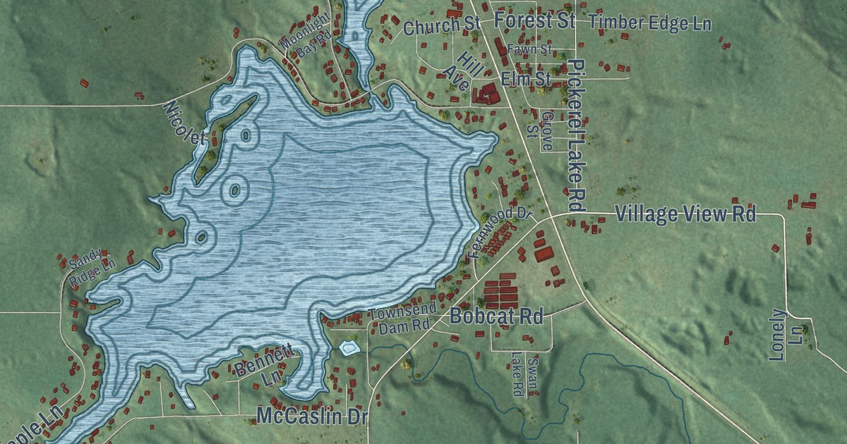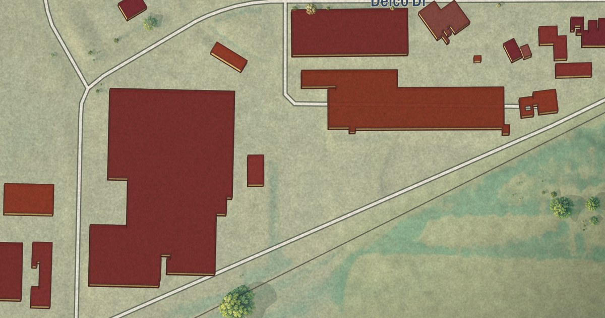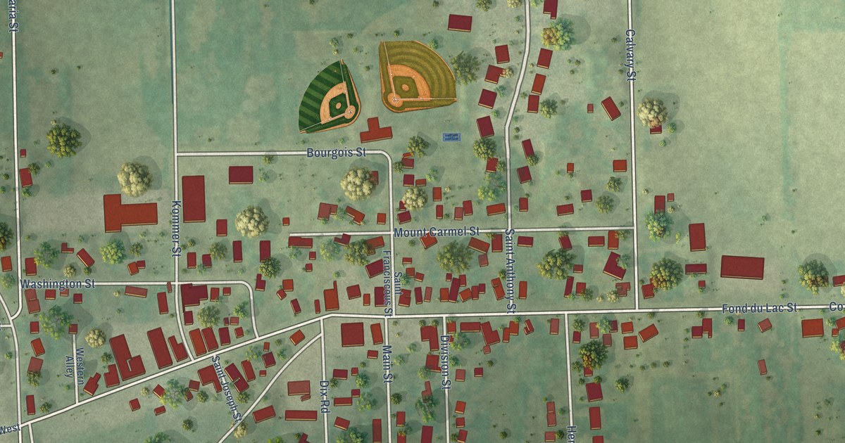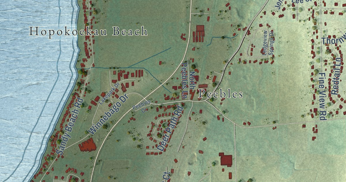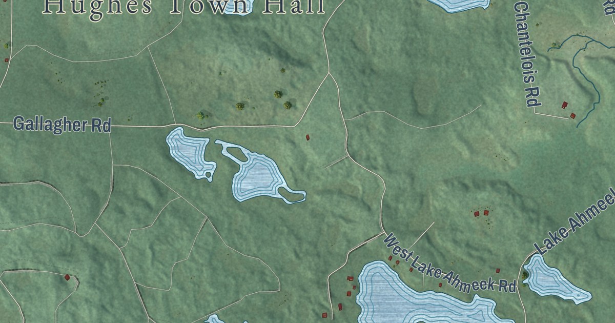
This beautifully detailed map of Hughes, Wisconsin was created in 2026 using aerial imagery combined with modern topographical, census, street and landmark data. It’s a one-of-a-kind view of Hughes that combines accurate data with a vintage aesthetic. The map shows every building in its true location, many of the roads carry their names, and the shaded topographic relief shows the shape of the land.
Explore an aerial view of Hughes, Wisconsin
On the map you’ll find Hughes Town Hall, Muskeg, Wills, and Bayfield County Forest, along with Troy Pit Road, Hoffgardner Road, South County Line Road, Huffgard Road, Huggard Road, Spring Lake Road, Lindgren Road, Gallagher Road, and more. If you look closely you can even find your house accurately drawn in its correct location. Zoom in on the preview to look for yours.
Take a closer look at the Hughes map
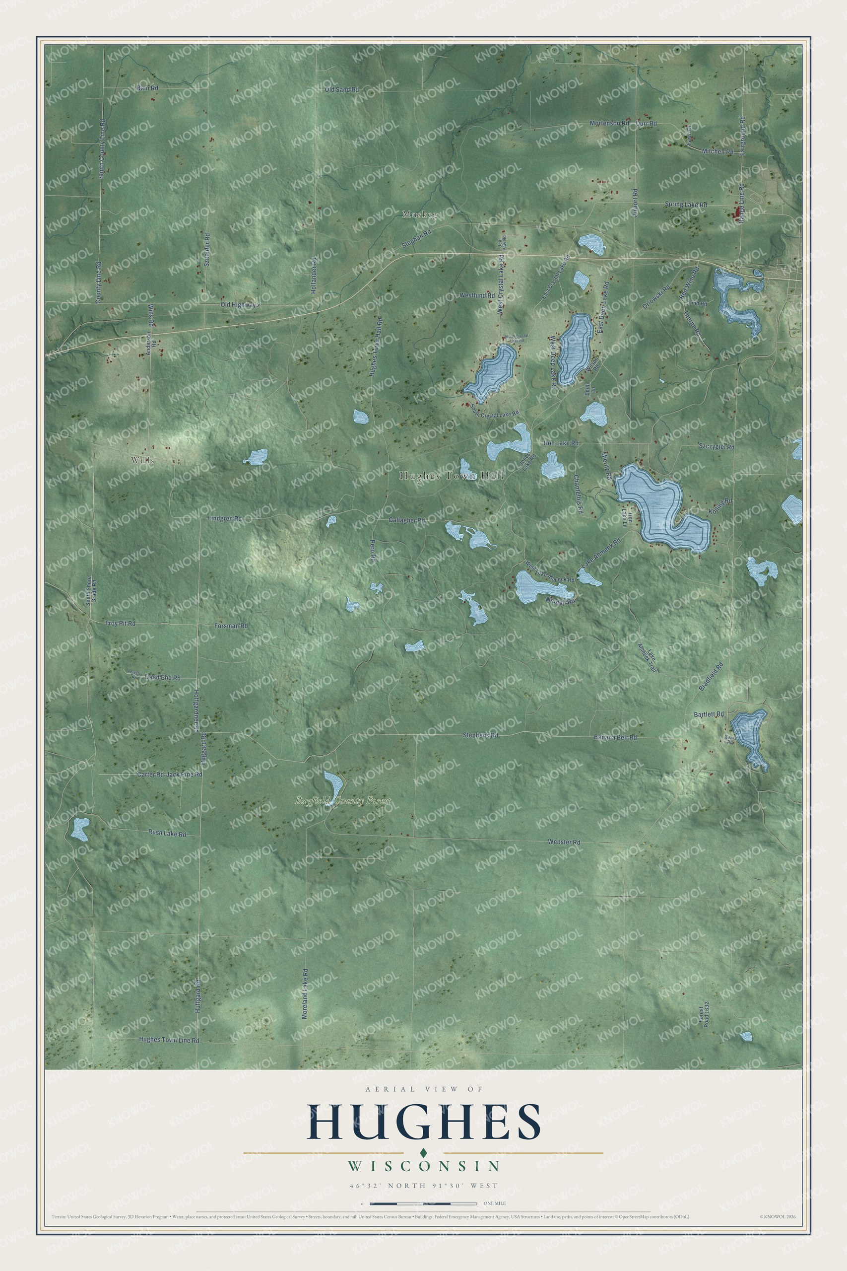
Street and place names on the Hughes, Wisconsin map
These names are printed on the map of Hughes, Wisconsin.
Places: Hughes Town Hall, Muskeg, Wills and Bayfield County Forest.
Streets and roads: Troy Pit Road, Hoffgardner Road, Spring Lake Road, South County Line Road, Huffgard Road, Huggard Road, Forsman Road, Gallagher Road, Lindgren Road, Wills Road, Stephens Road, Hughes Town Line Road.
More street names, A to Z
Airport Road, Anderson Road, Bain Road, Banana Belt Road, Bartlett Road, Bear Paw Road, Bradfield Road, Carter Road, Chantelois Road, County Line Road, Dead End Road, Durr Road, East Crystal Lake Road, East Deep Lake Road, Edith Lane, Fairground Road, Fawn Drive, Forest Road 1632, Forestry Road, Hollander Road, Hughes Town Hall Road, Iron Lake Lane, Iron Lake Road, Jack Pine Road, Jones Lake Road, Kolling Road, Lake Ahmeek Road, Lake Ahmeek Trail, Lind Road, Mieritz Road, Mitchell Road, Moreland Lake Road, Mortenson Road, North Crystal Lake Road, Old Highway 2, Old Sand Road, Orlowski Road, Pero Road, Range Line Road, Red Wine Road, Rush Lake Road, Sears Road, South Crystal Lake Road, South Shore Grade Road, Stephan Road, Szczygiel Road, Sznaider Road, Thorpe Road, Webster Road, West Crystal Lake Road, West Deep Lake Road, West Lake Ahmeek Road, Westlund Road, Wilson Road, Windall Road.
See the Hughes, Wisconsin map on a wall
The Hughes map as an 18 x 24 inch print in a black frame.

This beautifully detailed map of Hughes makes an attractive addition to your office, library, or den, and it can even be used to teach children the geography and history of the area. It also makes a great gift for anyone who grew up in Hughes or moved away. When you’re done exploring, click here to get your copy of the Hughes map.