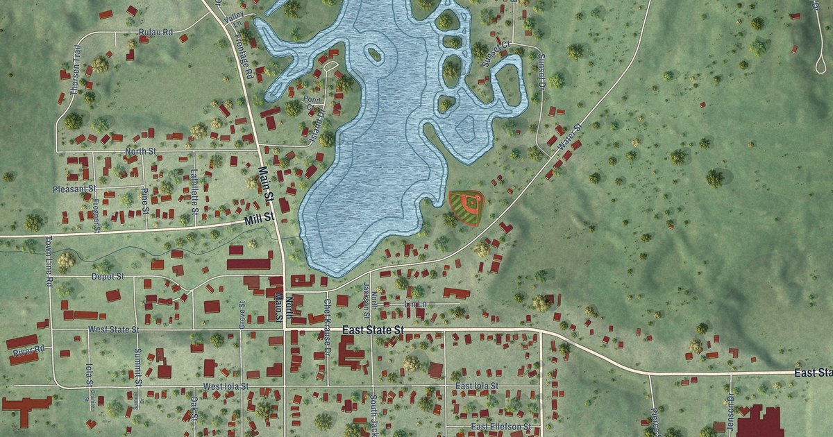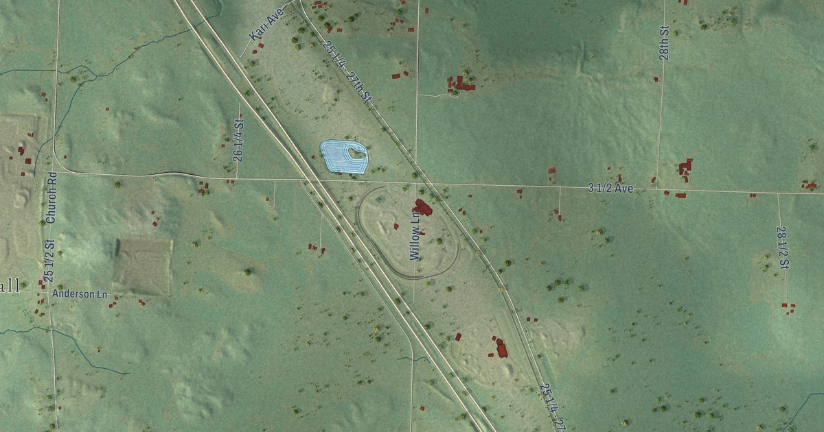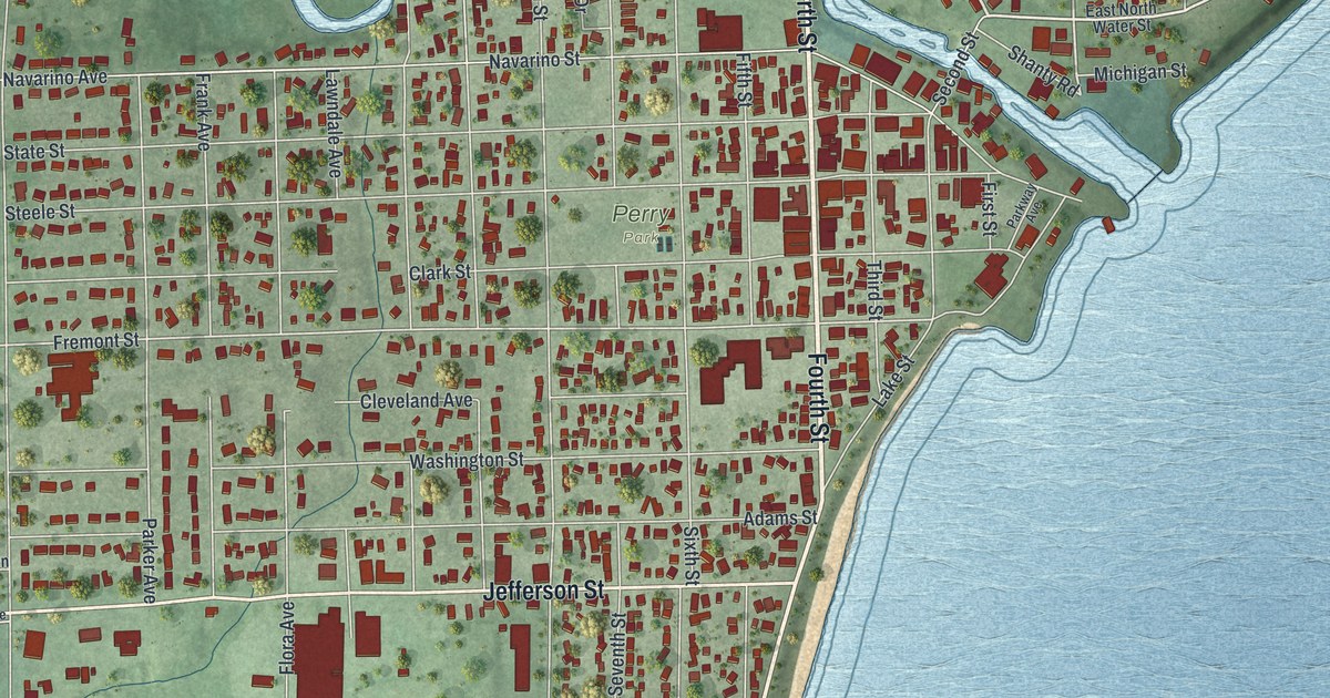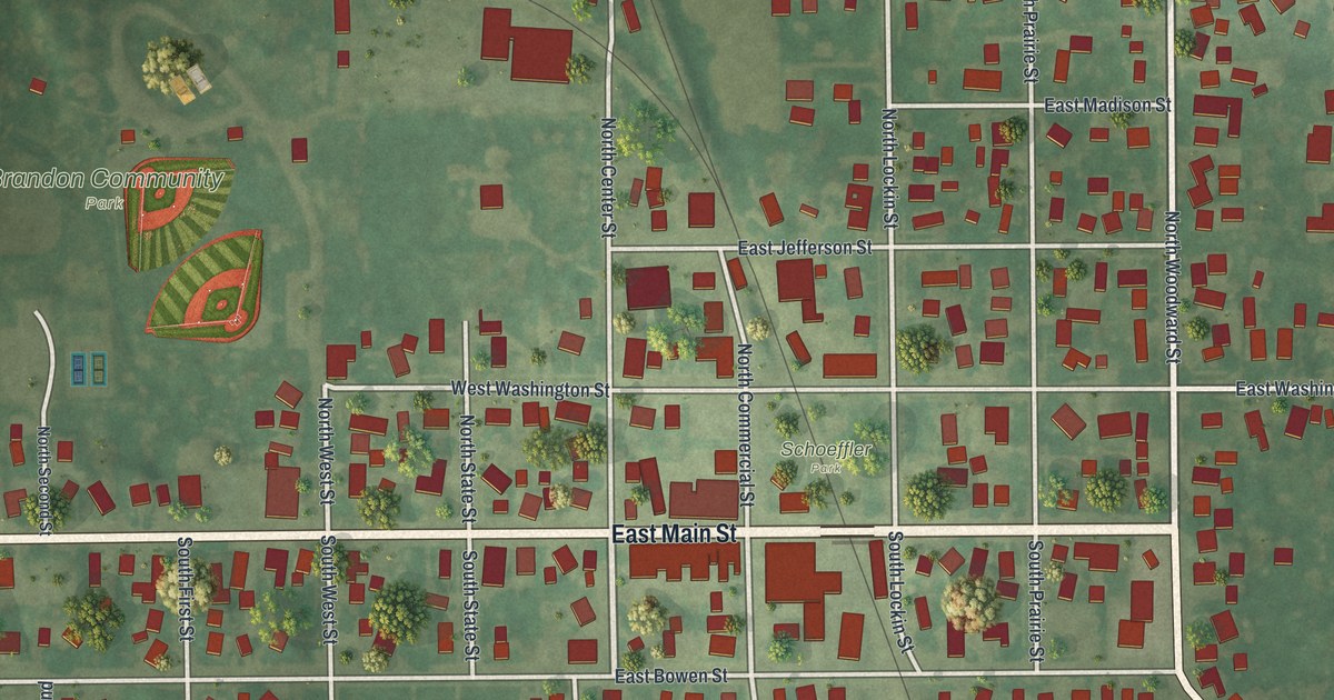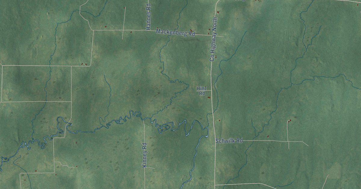
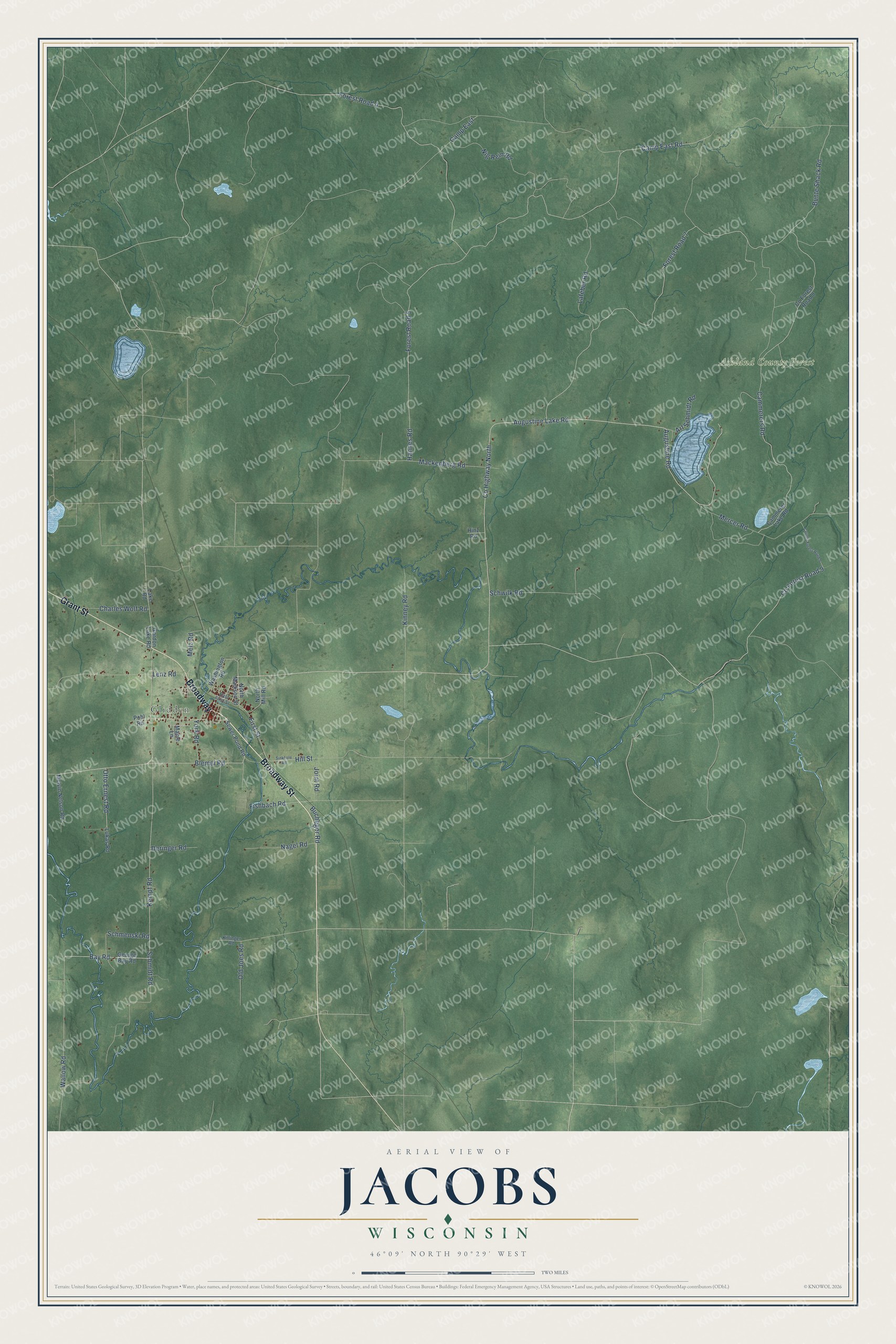
This beautifully detailed map of Jacobs, Wisconsin was created in 2026 using aerial imagery combined with modern topographical, census, street and landmark data. It's a modern aerial view of Jacobs in Ashland County, Wisconsin, that combines modern data with a vintage aesthetic. The roads feature printed names, and if you look closely you can find your exact house accurately shown in its correct location.
Explore an aerial view of Jacobs, Wisconsin
On this map you'll find Glidden, Ashland County Forest, Broadway Street, Broadway, Grant Street, Kempf Road, Blemel Road, Co Highway North, Augustine Lake Road, Bay Road, Wallow Road, Otto Ernest Road, and more. Each red shape is a building, so zoom in on the preview and look for yours.
Jacobs has a story worth telling. The Wisconsin Historical Society puts it this way: "Local builder Conrad Mohr erected the brownstone-faced building in 1905 for the new Glidden State Bank, established in 1902."
Jacobs is a town in Ashland County. The Census Bureau counted 648 people here in 2020.
Take a closer look at the Jacobs map
Names on this map
These names are printed on this map.
Places: Glidden and Ashland County Forest.
Streets and roads: Broadway Street, Broadway, Grant Street, Kempf Road, Blemel Road, County Highway North, Augustine Lake Road, Bay Road, Wallow Road, Otto Ernest Road, First Street, Co Forest Road 9.
More street names, A to Z
Art Schmidt Road, Augustine Road, Bucheger Road, Bunte Shack Road, Cammerer Lake Road, Cammerers Road, Camp East, Camp East Road, Charles Wolf Road, Co Forest Road 8, County Forest Road 9, Deringer Road, East First Street, Fishbach Road, Forest Road 4, Forest Road 5, Forest Road 7, George Bay Road, Gordon Lake Road, Hannes Road, Hill Street, Hinz Road, Joint Road, Killinger Road, Kinney Road, Lafeber Road, Lake Road, Lenz Road, Lukas Road, Mackenberg Road, Maple Lane, Melvin Nelson Road, Melz Road, Mercer Road, Nagel Road, Nig Rein Road, North Madison Street, North Mill Road, Old Joes Road, Pohl Road, Schmenski Road, Schmidt Road, Schwilk Road, Sewer Pond Road, Sinkhole Road, Washington Road, York Road.
Created by KNOWOL in 2026. The buildings are small red shapes, the roads carry their printed names, and shaded relief shows the shape of the land. The title panel reads "AERIAL VIEW OF JACOBS, WISCONSIN" with 46°09' NORTH 90°29' WEST.
It looks right in a kitchen, an office or a den, and it's a gift for anyone who grew up in Jacobs or moved away. Open the preview and find your street. See sizes and frames for the Jacobs map.