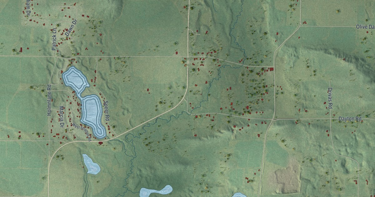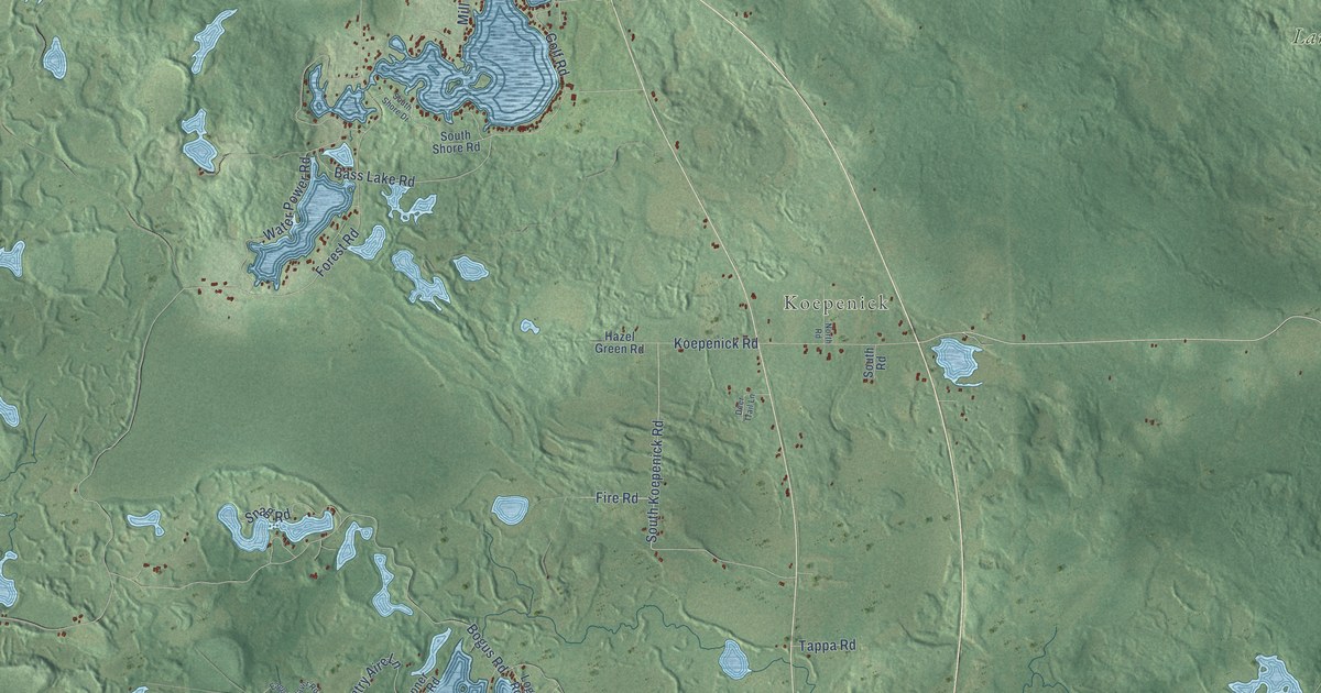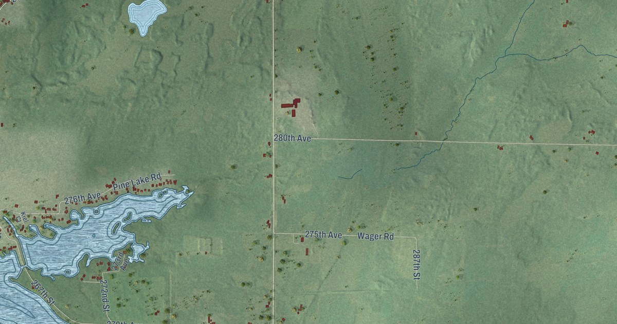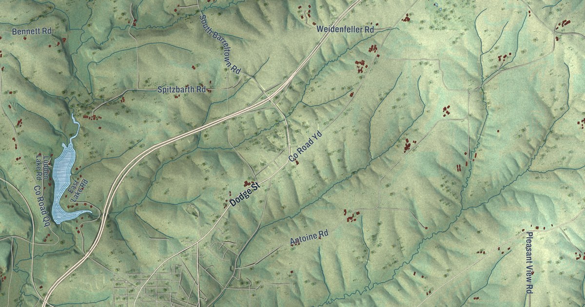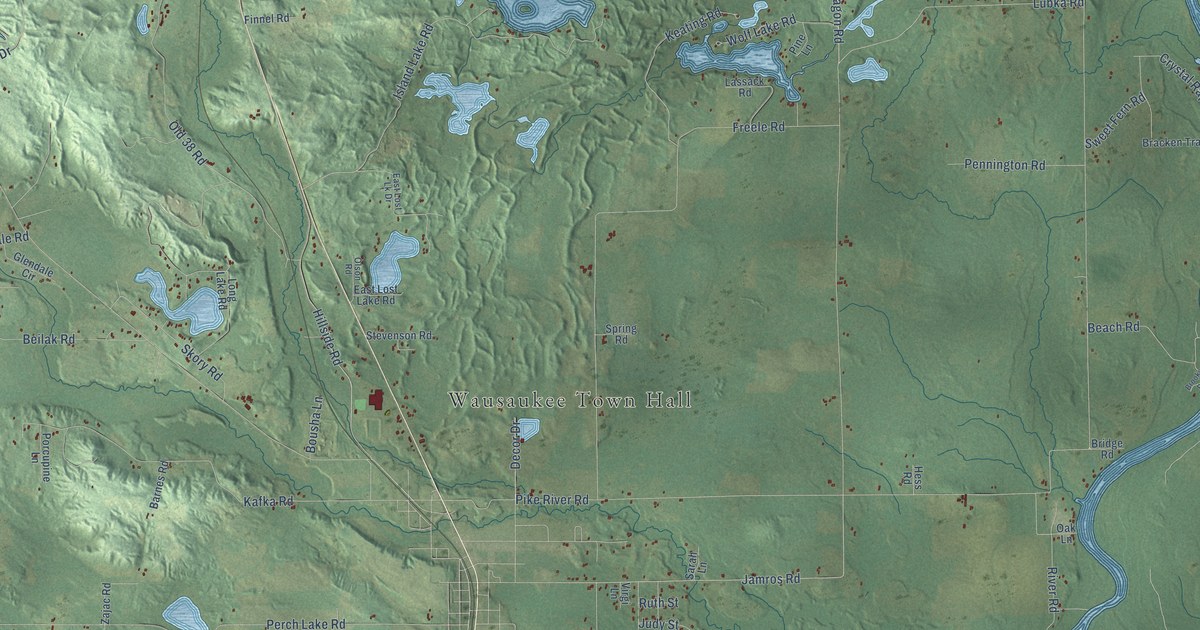
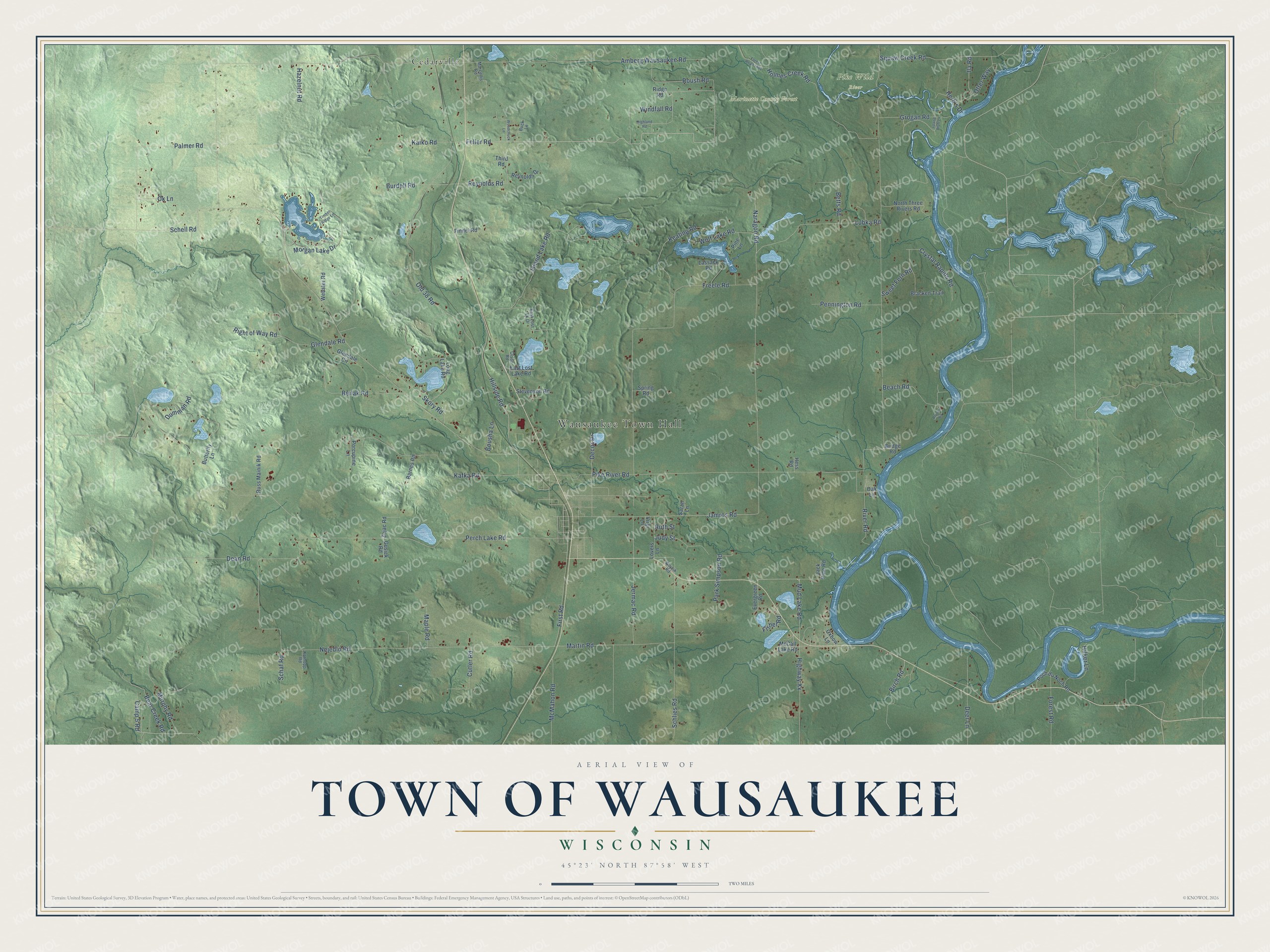
This beautifully detailed map of Wausaukee, Wisconsin was created in 2026 using aerial imagery combined with modern topographical, census, street and landmark data. It's a modern aerial view of Wausaukee in Marinette County, Wisconsin, that combines modern data with a vintage aesthetic. The roads feature printed names, and if you look closely you can find your exact house accurately shown in its correct location.
Explore an aerial view of Wausaukee, Wisconsin
On this map you'll find Wausaukee Town Hall, Marinette County Forest, Pike Wild River, Cedarville, Morgan Lake Drive, Feller Road, Glendale Road, Mud Lake Road, Jamros Road, Schlies Road, Pike River Road, Perch Lake Road, and more. Each red shape is a building, so zoom in on the preview and look for yours.
Wausaukee is a town in Marinette County. The Census Bureau counted 1,097 people here in 2020. The map prints the town name in its title panel, with the coordinates below it.
Take a closer look at the Wausaukee map
Names on this map
These names are printed on this map.
Places: Wausaukee Town Hall, Marinette County Forest, Pike Wild River and Cedarville.
Streets and roads: Morgan Lake Drive, Feller Road, Glendale Road, Mud Lake Road, Jamros Road, Schlies Road, Pike River Road, Perch Lake Road, Amberg Wausaukee Road, Nejedlo Road, Old 38 Road, Lubka Road.
More street names, A to Z
Barnes Road, Beach Road, Bear Creek Road, Beilak Road, Betts Road, Birch Road, Bousha Lane, Bracken Trail, Bridge Road, Brooks Road, Buck Lane, Burdell Road, Butterfly Lane, Camp 5 Road, Crystal Rapids Road, Cutler Road, Dean Road, Decor Drive, Deer Lane, Dumman Road, East Lost Lake Road, East Lost Lk Drive, Evergreen Road, Finnel Road, First Road, Fisher Road, Forest Road, Forest Road 1801, Freele Road, Glendale Circle, Grogan Road, Gusick Road, Hazelnut Road, Herb's Drive, Hess Road, Highland Road, Highway Xx, Hilker Lane, Hillside Road, Holmes Creek Road, Ila Road, Island Bluff Lane, Island Lake Road, Jack Pine Road, Jermac Road, Judy Street, Kafka Road, Kaiko Road, Karnopp Road, Keating Road, Lassack Road, Long Lake Road, Lovers Lane, Maple Road, Marcellis Road, Martin Road, McCall Lake Road, McMahon Road, Murphy Road, Naragon Road, North Three Rivers Road, Oak Lane, Ok Lane, Olson Road, Otter Way, Oxbow Lane, Palmer Road, Park Simpson Road, Pennington Road, Pine Lane, Poch du Noch Road, Porcupine Lane, Reynolds Drive, Reynolds Road, Ridge Road, Right of Way Road, River Road, Roush Road, Russ Mainik Road, Ruth Street, Sarah Lane, Schaf Road, Schell Road, Skory Road, Spring Road, Stevenson Road, Sweet Fern Road, Third Road, Timber Ridge Lane, Virgi Lane, Webster Road, Windfall Road, Wojcik Road, Wolf Lake Road, Woodchuck Lane, Zajac Road.
Created by KNOWOL in 2026. The buildings are small red shapes, the roads carry their printed names, and shaded relief shows the shape of the land. The title panel reads "AERIAL VIEW OF TOWN OF WAUSAUKEE, WISCONSIN" with 45°23' NORTH 87°58' WEST.
Hang it in the hallway, the office or the cabin, or give it to someone who left Wausaukee and still calls it home. Open the preview and look for a street you know. See sizes and frames for the Town of Wausaukee map.