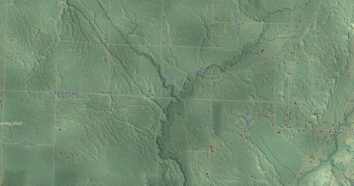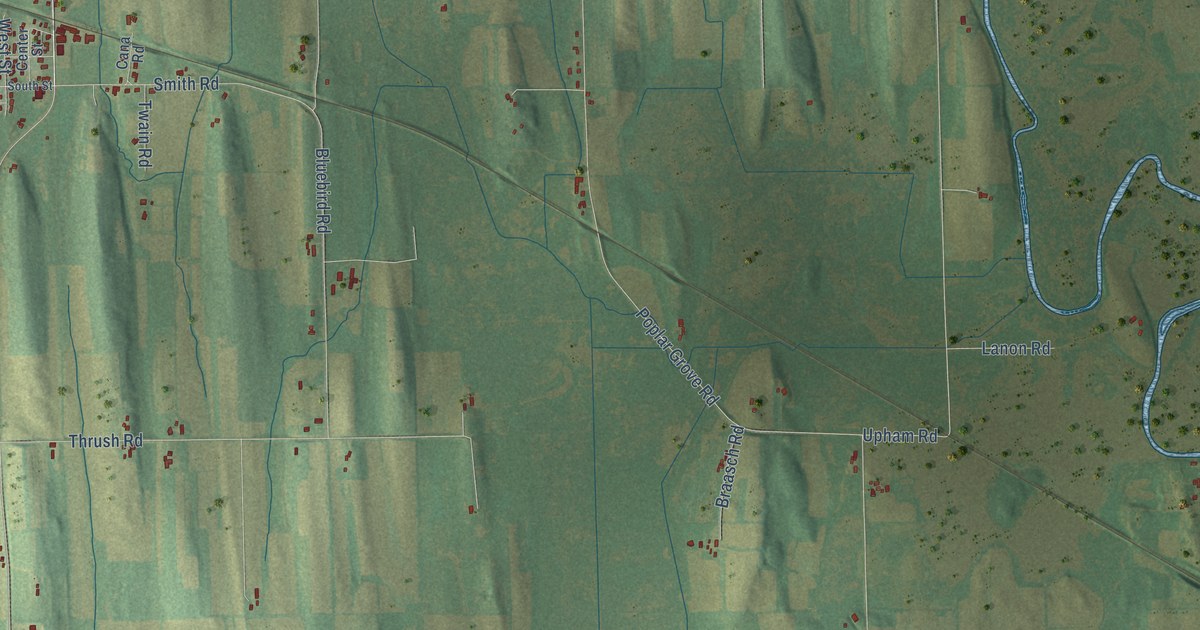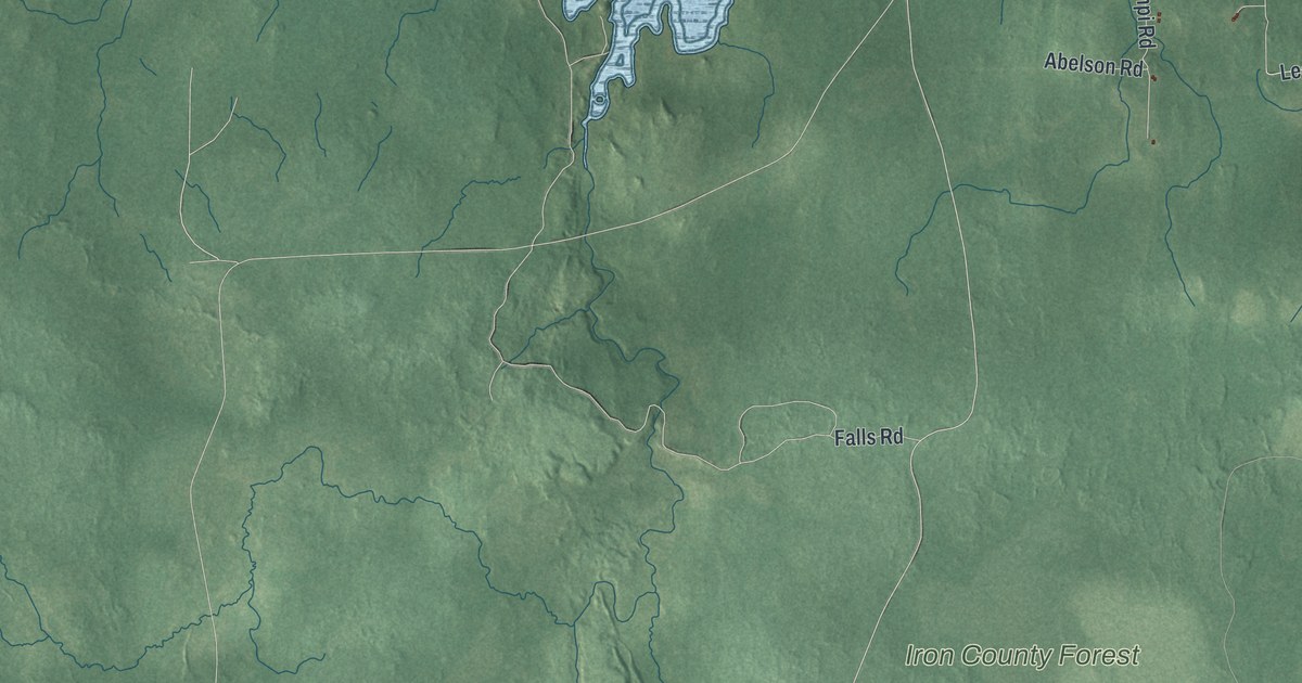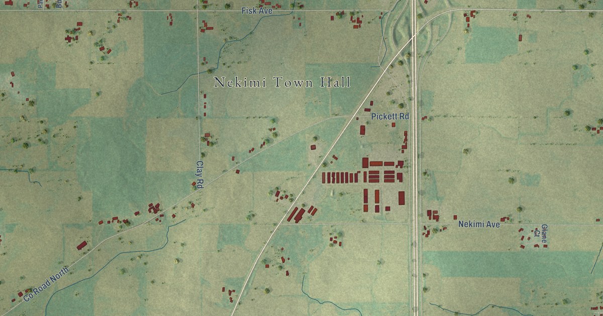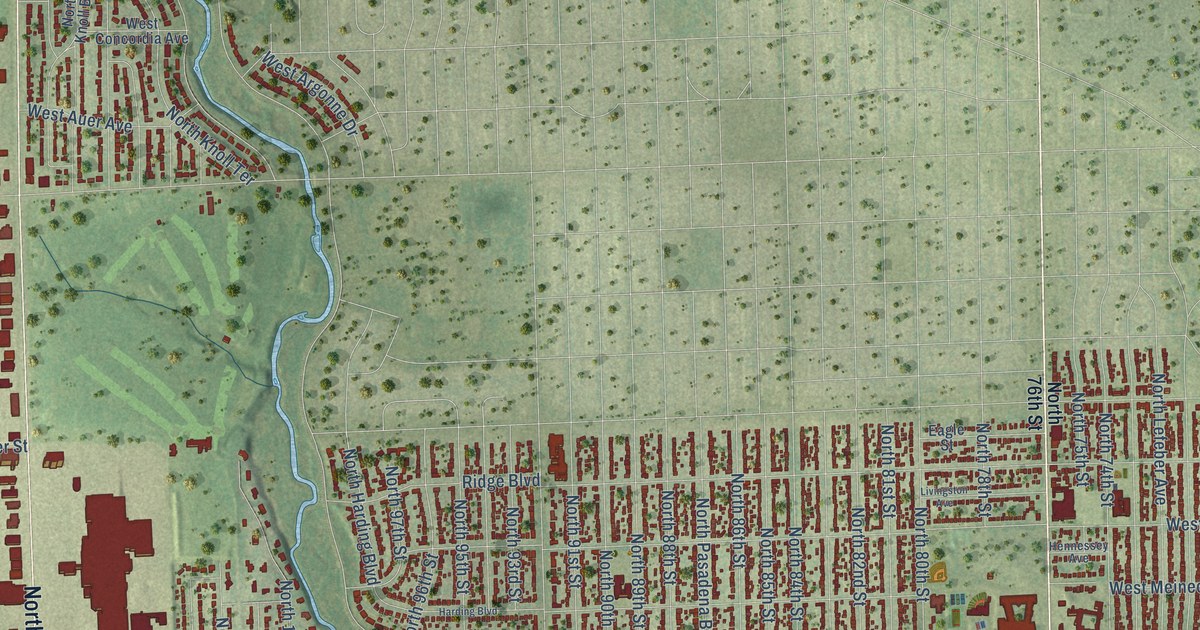
This beautifully detailed map of Wauwatosa, Wisconsin was created in 2026 using aerial imagery combined with modern topographical, census, street and landmark data. It's a modern aerial view of Wauwatosa in Milwaukee County, Wisconsin, that combines modern data with a vintage aesthetic. The roads feature printed names, and if you look closely you can find your exact house accurately shown in its correct location.
Explore an aerial view of Wauwatosa, Wisconsin
On this map you'll find Wauwatosa City Hall, County Grounds Park, Pinelawn Memorial Park, Sanctuary Woods, North Glenview Avenue, Harwood Avenue, West Bluemound Road, North Mayfair Road, West Capitol Drive, North Wauwatosa Avenue, West Watertown Plank Road, North 70th Street, and more. Each red shape is a building, so zoom in on the preview and look for yours.
Here is a piece of Wauwatosa history, in the words of the record. The Milwaukee County History puts it this way: "John Raymond Schoonmaker of the Schoonmaker Construction Company, in which he is a partner of his brother and father, was born November 29, 1887, at Wauwatosa, in the first frame house erected west of Milwaukee."
Wauwatosa is a city in Milwaukee County. The Census Bureau counted 48,387 people here in 2020.
Take a closer look at the Wauwatosa map
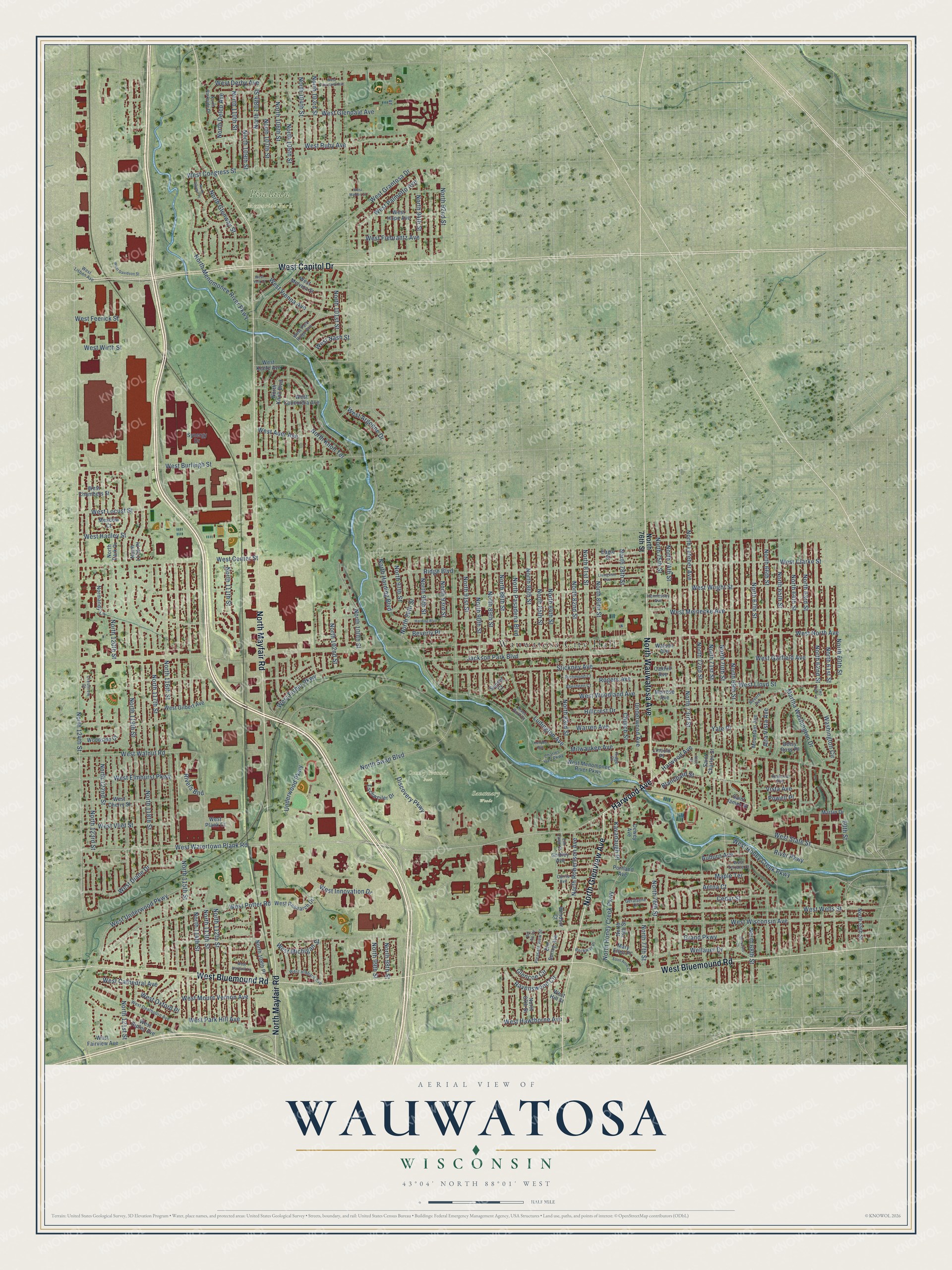
Names on this map
These names are printed on this map.
Places: Wauwatosa City Hall, County Grounds Park, Pinelawn Memorial Park and Sanctuary Woods.
Streets and roads: North Glenview Avenue, Harwood Avenue, West Bluemound Road, North Mayfair Road, West Capitol Drive, North Wauwatosa Avenue, West Watertown Plank Road, North 70th Street, North 124th Street, North 65th Street, Martha Washington Drive, Rivers Bnd.
More street names, A to Z
60th Street, Aberdeen Court, Aetna Court, Alice Street, Alta Vista Avenue, Auburn Avenue, Bel Air Circle, Betsy Ross Place, Beverly Place, Blanchard Street, Cedar Street, Charles Hart Parkway, Church Street, Crescent Court, Crestview Court, Currie Avenue, Dewey Avenue, Discovery Parkway, Eagle Street, Elm Lawn Street, Elm Spring Avenue, Eschweiler Drive, Geralayne Circle, Glencoe Circle, Grand Parkway, Gridley Avenue, Harding Boulevard, Hennessey Avenue, Hillcrest Drive, Jackson Park Boulevard, Kavanaugh Place, Kenyon Avenue, Lincoln Place, Livingston Avenue, Ludington Avenue, Maple Terrace, Martin Drive, Mary Ellen Place, Meadow Court, Melrose Avenue, Milwaukee Avenue, Mountain Avenue, Normandy Lane, North 59th Street, North 60th Street, North 61st Street, North 62nd Street, North 63rd Street, North 64th Street, North 66th Street, North 67th Street, North 68th Street, North 69th Street, North 71st Street, North 72nd Street, North 73rd Street, North 74th Street, North 75th Street, North 76th Street, North 77th Street, North 78th Street, North 79th Street, North 80th Street, North 81st Street, North 82nd Street, North 83rd Street, North 84th Street, North 85th Street, North 86th Street, North 87th Street, North 88th Street, North 89th Street, North 90th Street, North 91st Street, North 92nd Street, North 93rd Street, North 94th Street, North 95th Street, North 96th Street, North 97th Street, North 98th Street, North 99th Street, North 100th Street, North 101st Street, North 102nd Street, North 103rd Street, North 104th Street, North 105th Street, North 106th Street, North 107th Street, North 108th Place, North 108th Street, North 109th Street, North 110th Street, North 111th Street, North 112th Street, North 113th Street, North 114th Street, North 115th Street, North 116th Street, North 117th Place, North 117th Street, North 118th Street, North 119th Street, North 120th Street, North 121st Street, North 122nd Street, North 123rd Street, North Delco Avenue, North Glenway Street, North Harding Boulevard, North Honey Creek Parkway, North Knoll Boulevard, North Knoll Terrace, North Lefeber Avenue, North Menomonee River Parkway, North Park Drive, North Parkside Drive, North Pasadena Boulevard, North Raymir Place, North Robertson Avenue, North Swan Boulevard, Oakhill Avenue, Pleasant View Street, Portland Avenue, Powell Place, Ravenswood Circle, Revere Avenue, Richmond Court, Ridge Boulevard, Ridge Court, River Park Court, River Parkway, Rockway Place, Rogers Avenue, Romona Avenue, Saint Anne Court, Saint Charles Street, Saint James Street, Stickney Avenue, Sunset Court, Synergy Drive, Two Tree Lane, Underwood Avenue, Underwood Parkway, Vista Avenue, Warren Avenue, Washington Circle, Watson Avenue, Wellauer Drive, West Argonne Drive, West Auer Avenue, West Burleigh Street, West Cathedral Avenue, West Center Street, West Chambers Street, West Cherry Street, West Clarke Street, West Concordia Avenue, West Congress Street, West Courtland Avenue, West Davidson Street, West Dearbourn Avenue, West Derby Avenue, West Diane Drive, West Elmhurst Parkway, West Fairview Avenue, West Feerick Street, West Fiebrantz Avenue, West Fisher Parkway, West Garfield Avenue, West Gilbert Avenue, West Glendale Avenue, West Grantosa Drive, West Hadley Street, West Harvard Lane, West Hawthorne Avenue, West Hibbard Avenue, West Hill Street, West Honey Creek Parkway, West Hope Avenue, West Innovation Drive, West Keefe Avenue, West Lisbon Avenue, West Lloyd Street, West Locust Street, West Marion Street, West Meinecke Avenue, West Melvina Street, West Menomonee River Parkway, West Michigan Street, West Mount Vernon Avenue, West Nash Street, West North Avenue, West Oxford Place, West Palmetto Avenue, West Park Hill Avenue, West Park Ridge Avenue, West Plank Court, West Potter Road, West Research Drive, West Ripley Avenue, West Ruby Avenue, West State Street, West Terrace Court, West Underwood Parkway, West Vienna Avenue, West Vliet Street, West Walnut Road, West Wells Street, West Wirth Street, West Wisconsin Avenue, West Woodland Avenue, West Wright Street, West York Place, Windsor Court, Woodside Court, Yale Place.
Created by KNOWOL in 2026. The buildings are small red shapes, the roads carry their printed names, and shaded relief shows the shape of the land. The title panel reads "AERIAL VIEW OF WAUWATOSA, WISCONSIN" with 43°04' NORTH 88°01' WEST.
It suits a den, a classroom or a front hall, and it makes a gift for anyone with Wauwatosa roots. Open the preview and find the block you know. See sizes and frames for the Wauwatosa map.