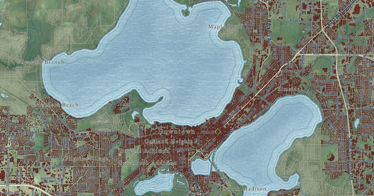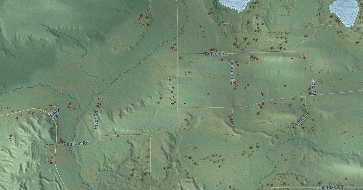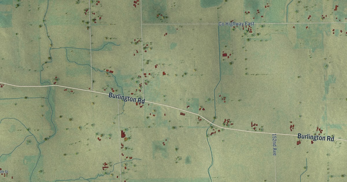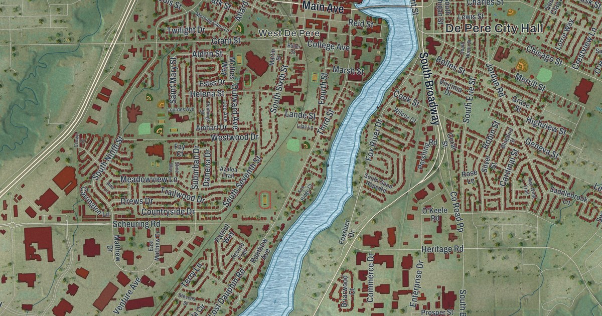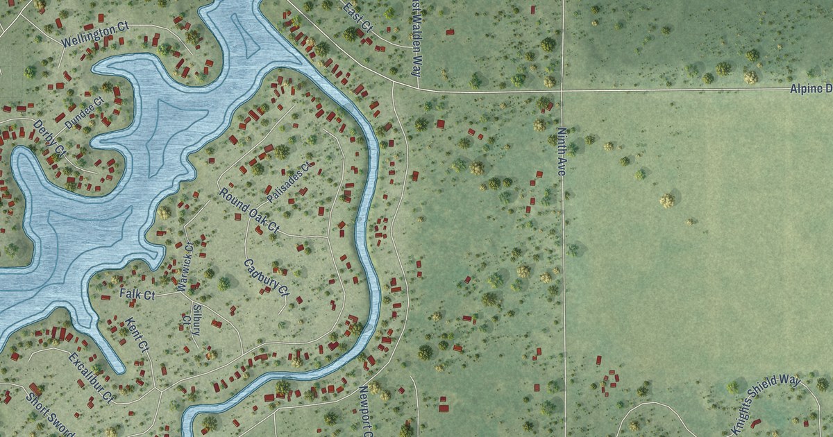
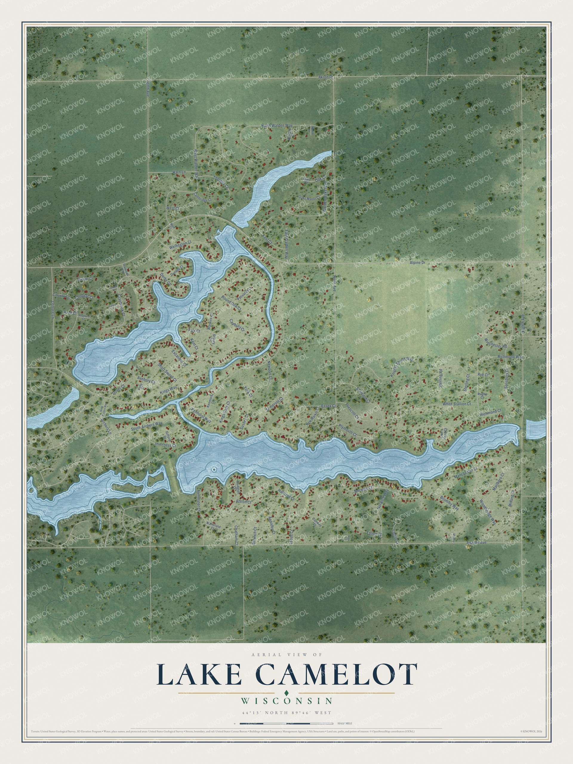
This beautifully detailed map of Lake Camelot, Wisconsin was created in 2026 using aerial imagery combined with modern topographical, census, street and landmark data. It's a modern aerial view of Lake Camelot in Adams County, Wisconsin, that combines modern data with a vintage aesthetic. The roads feature printed names, and if you look closely you can find your exact house accurately shown in its correct location.
Explore an aerial view of Lake Camelot, Wisconsin
On this map you'll find Alpine Drive, Ninth Avenue, Apache Avenue, Kings Way, Eighth Avenue, Tenth Avenue, Penhurst Way, West Walden Way, Akron Drive, Richmond Way, Knights Shield Way, North Walden Way, and more. Each red shape is a building, so zoom in on the preview and look for yours.
Lake Camelot is a community in Adams County. The Census Bureau counted 895 people here in 2020. Lake Camelot sits about 4 miles east of Lake Arrowhead, 10 miles southeast of Nekoosa and 11 miles southeast of Port Edwards. The map prints the town name in its title panel, with the coordinates below it.
Take a closer look at the Lake Camelot map
Names on this map
These names are printed on this map.
Streets and roads: Alpine Drive, Ninth Avenue, Apache Avenue, Kings Way, Eighth Avenue, Tenth Avenue, Penhurst Way, West Walden Way, Akron Drive, Richmond Way, Knights Shield Way, North Walden Way.
More street names, A to Z
Abington Court, Aldwich Court, Alston Court, Appleby Court, Archers Lane, Avebury Court, Avon Court, Axminster Court, Bromley Court, Bromley Way, Cadbury Court, Cambridge Court, Cardiff Court, Chatham Court, Cheddar Court, Chester Court, Conway Court, Cranbrook Court, Cranbrook Way, Culross Court, Darby Court, Derby Court, Dover Court, Dundee Court, East Court, East Walden Way, English Court, Epson Court, Essex Court, Excalibur Court, Falk Court, Gifford Court, Harn Lane, Hartford Court, Inverness Court, Kenmore Court, Kent Court, Kings Gate Court, Leeds Court, Leisure Lane, Lincoln Court, Lion's Head Court, Manchester Court, Mansfield Court, Marlboro Court, Milford Court, New Market Court, Newport Court, North Archers Way, North Court, Norwich Court, Norwich Way, Oak Court, Oaks Court, Oaks Manor Court, Page Court, Palisades Court, Plymouth Court, Prescott Court, Richmond Court, Round Oak Court, Rugby Court, Rye Court, Salisbury Court, Sheffield Court, Short Sword Court, Silbury Court, Somerset Court, South Archers Way, Sterling Court, Sterling Road, Stratford Court, Sussex Court, Thoreau Court, Walden Court, Walden Oaks Way, Warwick Court, Wellington Court, West Court, White Stallion Court, Wick Court, Winchester Road, Woodbridge Way, York Court.
See it on a wall
The Lake Camelot map as a framed print. Swipe for more.


Created by KNOWOL in 2026. The buildings are small red shapes, the roads carry their printed names, and shaded relief shows the shape of the land. The title panel reads "AERIAL VIEW OF LAKE CAMELOT, WISCONSIN" with 44°13' NORTH 89°46' WEST.
Hang it in the hallway, the office or the cabin, or give it to someone who left Lake Camelot and still calls it home. Open the preview and look for a street you know. See sizes and frames for the Lake Camelot map.