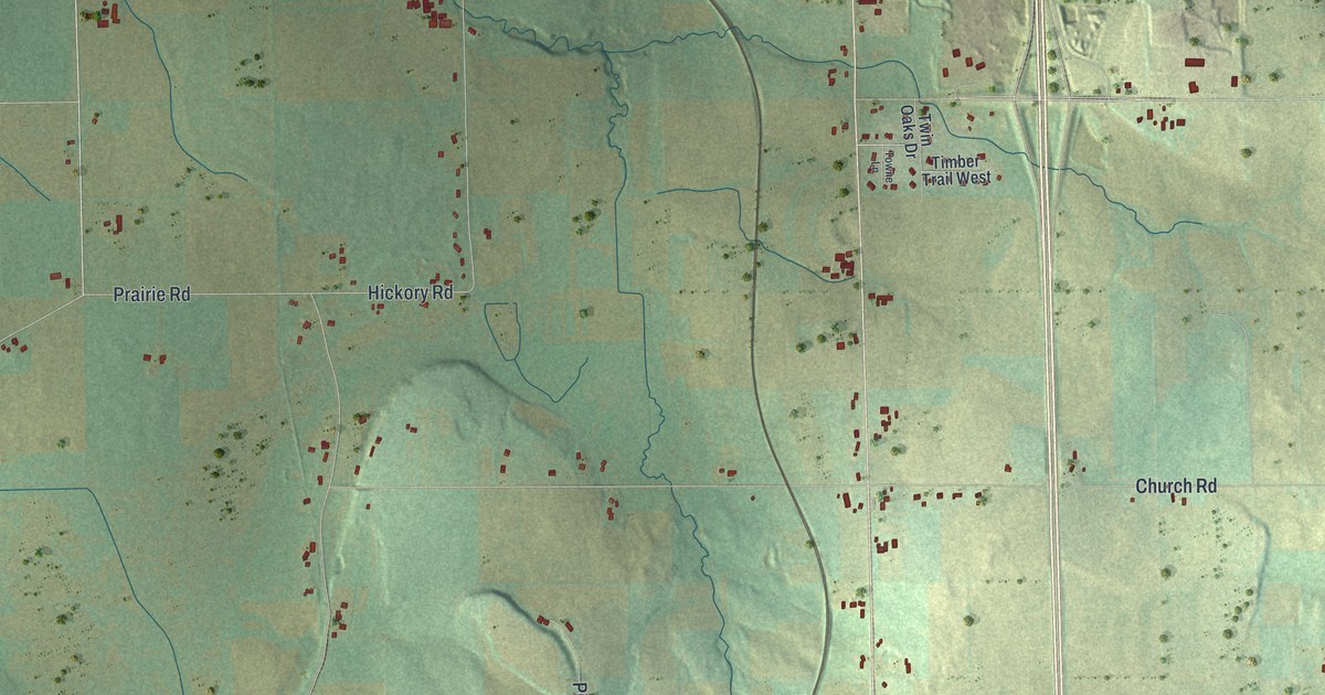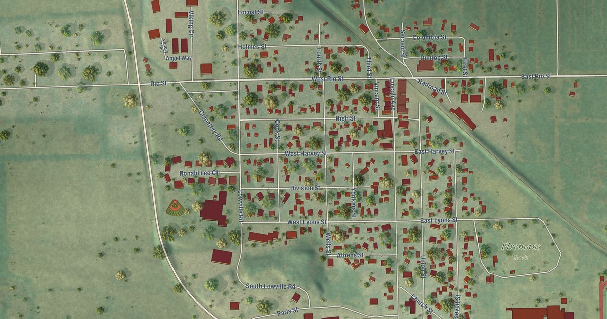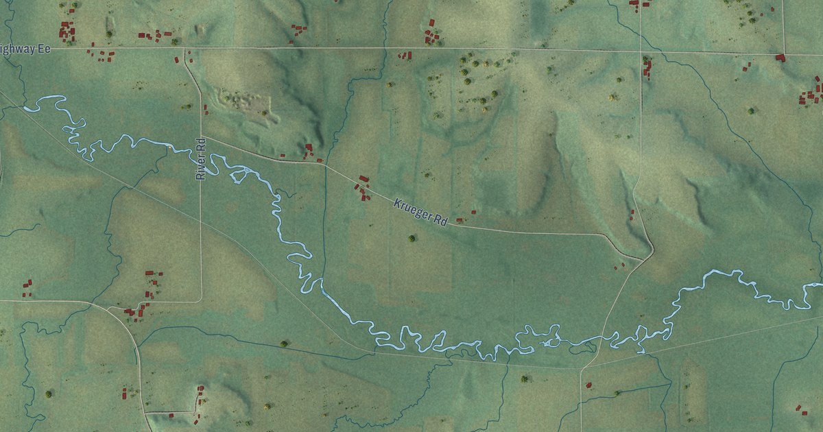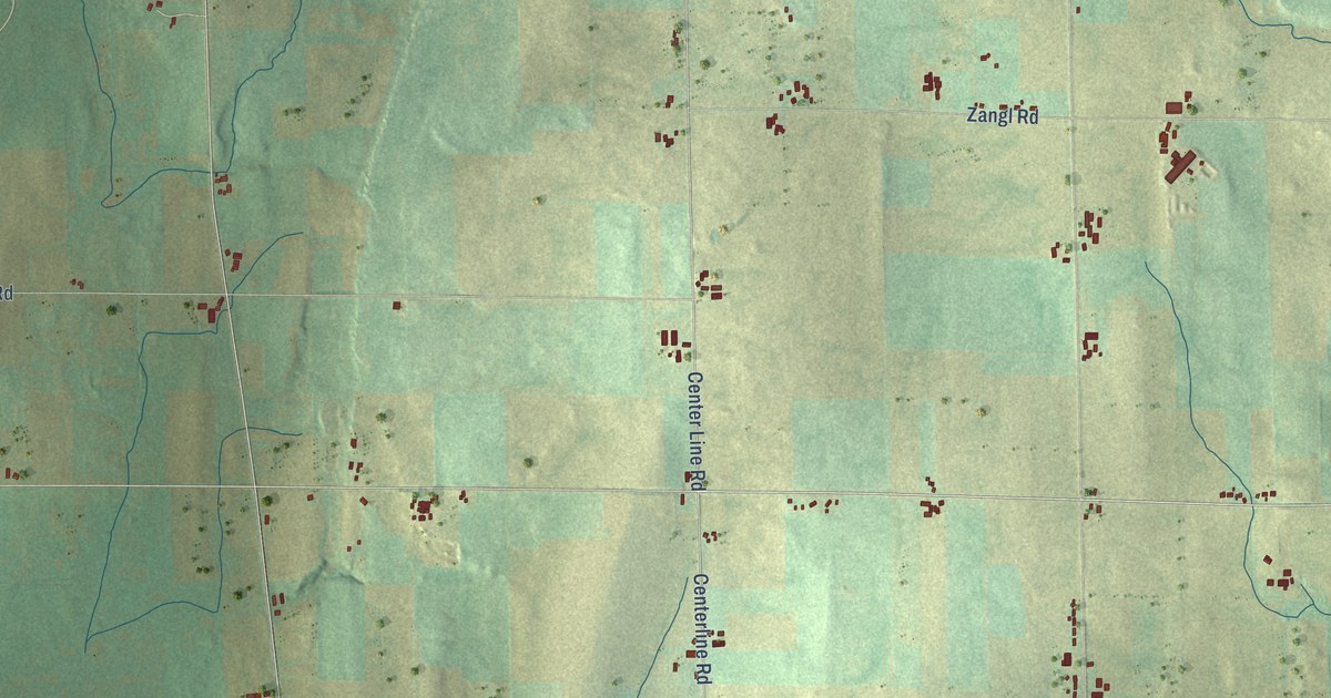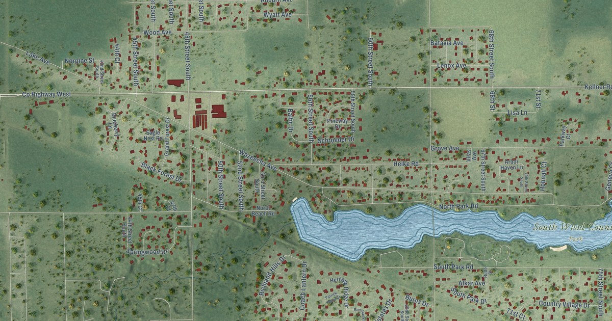
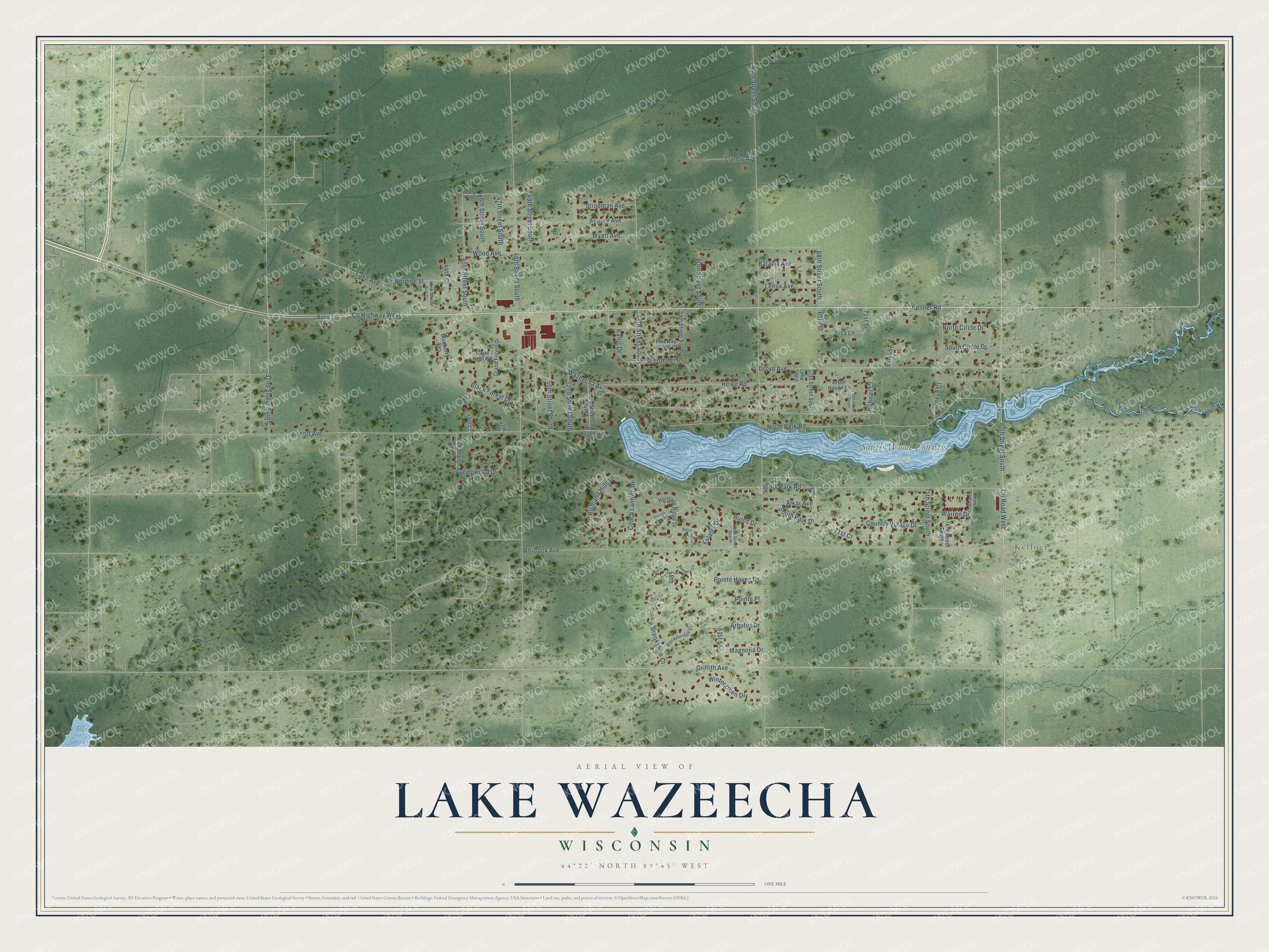
This beautifully detailed map of Lake Wazeecha, Wisconsin was created in 2026 using aerial imagery combined with modern topographical, census, street and landmark data. It's a modern aerial view of Lake Wazeecha in Wood County, Wisconsin, that combines modern data with a vintage aesthetic. The roads feature printed names, and if you look closely you can find your exact house accurately shown in its correct location.
Explore an aerial view of Lake Wazeecha, Wisconsin
On this map you'll find Kellner, South Wood County Park, Co Highway West, Kellner Road, 68th Street South, 32nd Street South, Co Road West, 64th Street South, Whitrock Avenue, Wazeecha Avenue, 48th Street South, North Park Road, and more. Each red shape is a building, so zoom in on the preview and look for yours.
Lake Wazeecha has a story worth telling. Sixty water skiers from five Midwest ski teams built a human pyramid on Lake Wazeecha in September 2013, pulled by a single boat. It earned a spot in the Guinness Book of World Records. The pyramid stayed up for 350 meters, more than three times as long as a usual pyramid. That's from the Waukesha NOW newspaper.
Lake Wazeecha is a community in Wood County. The Census Bureau counted 3,107 people here in 2020. Lake Wazeecha sits about 4 miles south of Biron, 4 miles east of Wisconsin Rapids and 5 miles east of Port Edwards. The map prints the town name in its title panel, with the coordinates below it.
Take a closer look at the Lake Wazeecha map
Names on this map
These names are printed on this map.
Places: Kellner and South Wood County Park.
Streets and roads: County Highway West, Kellner Road, 68th Street South, 32nd Street South, County Road West, 64th Street South, Whitrock Avenue, Wazeecha Avenue, 48th Street South, North Park Road, South Park Road, Grove Avenue.
More street names, A to Z
42nd Street South, 44th Court, 44th Street South, 45th Court, 45th Street South, 46th Street South, 47th Court, 47th Street South, 49th Street South, 50th Street South, 52nd Street South, 53rd Street South, 56th Street South, 58th, 59th Street South, 60th Street South, 61st Street, 62nd Street South, 67th Street South, 68th Street, 70th Street South, 71st Court, 71st Street, 75th Street South, 76th Street South, 78th Street South, 80th Street South, Airport Avenue, Alkar Avenue, Arbor Haven Lane, Arbutus Drive, Auburn Avenue, Baltic Drive, Batavia Avenue, Ben Franklin Drive, Black Forest Drive, Blueberry Lane, Bohn Drive, Boulder Circle, Breckenridge Court, Brookshire Court, Burns Drive, Coach Lantern Drive, Country Village Drive, Daly Avenue, Eagle Nest Road, Estates Drive, Geneva Court, Grand Forest Drive, Griffith Avenue, Helke Road, Heritage Ridge Drive, Hobnail Court, Lake Avenue, Lenox Avenue, Lisa Lane, Lumby Avenue, Magnolia Drive, Norpine Street, North Beach Road, North Circle Drive, Parkway Court, Patrick Henry Court, Pineway Drive, Pointe Haven Drive, Pointe Place, Richland Hills Drive, Rude Street, Schroeder Drive, Sequoia Circle, Siesta Circle, South Circle Drive, South Park Drive, Springwood Drive, Strodman Avenue, Vilas Avenue, Warren Drive, Wintergreen Drive, Wood Avenue, Wyatt Avenue.
See it on a wall
The Lake Wazeecha map as a framed print. Swipe for more.


Created by KNOWOL in 2026. The buildings are small red shapes, the roads carry their printed names, and shaded relief shows the shape of the land. The title panel reads "AERIAL VIEW OF LAKE WAZEECHA, WISCONSIN" with 44°22' NORTH 89°45' WEST.
It looks right in a kitchen, an office or a den, and it's a gift for anyone who grew up in Lake Wazeecha or moved away. Open the preview and find your street. See sizes and frames for the Lake Wazeecha map.