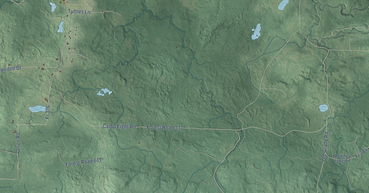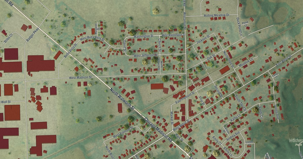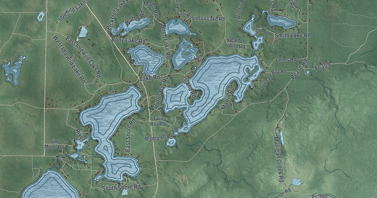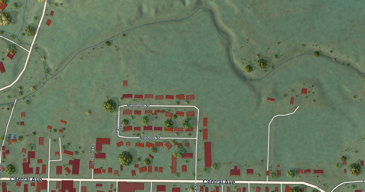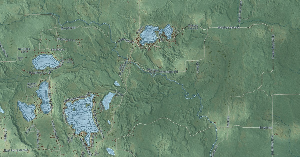
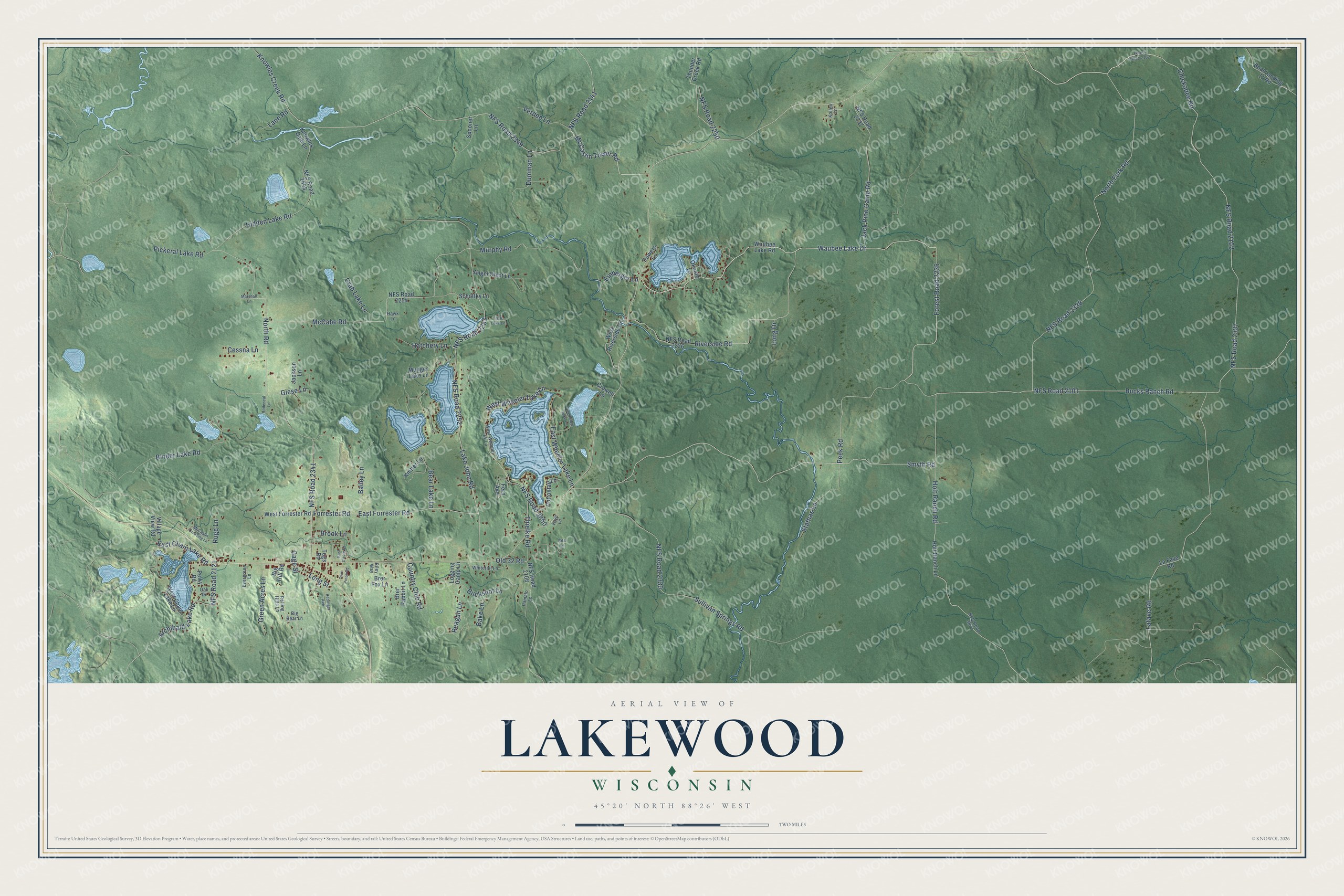
This beautifully detailed map of Lakewood, Wisconsin was created in 2026 using aerial imagery combined with modern topographical, census, street and landmark data. It's a modern aerial view of Lakewood in Oconto County, Wisconsin, that combines modern data with a vintage aesthetic. The roads feature printed names, and if you look closely you can find your exact house accurately shown in its correct location.
Explore an aerial view of Lakewood, Wisconsin
On this map you'll find Chickadee Road, NFS Road 2337, Waubee Lake Drive, NFS Road 2102, Forest Road 2235, Lake John Road, Knowles Creek Road, NFS Road 2252, NFS Road 2253, Peek Road, Bucks Ranch Road, North Road, and more. Each red shape is a building, so zoom in on the preview and look for yours.
Lakewood is a town in Oconto County. The Census Bureau counted 831 people here in 2020. The map prints the town name in its title panel, with the coordinates below it.
Take a closer look at the Lakewood map
Names on this map
These names are printed on this map.
Streets and roads: Chickadee Road, NFS Road 2337, Waubee Lake Drive, NFS Road 2102, Forest Road 2235, Lake John Road, Knowles Creek Road, NFS Road 2252, NFS Road 2253, Peek Road, Bucks Ranch Road, North Road.
More street names, A to Z
Angel Crest Lane, Archibald Lake Road, Bailey Lane, Bake Lane, Bear Lake Lane, Big Bear Lane, Big Hill Road, Binder Lake Road, Boat Landing 11 Road, Brer Fox Lane, Brer Rabbit Lane, Brook Lane, Buckshot Lane, Cessna Lane, Cottontail Lane, Country Club Road, Crab Lake Lane, Crowell Lane, Dumman Lane, East Chain Lake Road, East Circle Drive, East Forrester Road, East Wheeler Lake Lane, Einberger Lane, Evergreen Lane, Faye Lane, Fern Avenue, Forest Road 2102, Forrester Road, Gage Street, Giese Lane, Green Acres Lane, Hatchery Lane, Hawk Lane, Hidden Lake Road, Holt Ranch Lane, Holt Ranch Road, Irish Lake Lane, Jack Pine Camp Road, Jackson Lane, Knitter Lane, Knowles Dam Lane, Kollen Lane, Lafave Road, La Fave Road, Lane Road, Logging Camp Lane, Long Drive, Long Street, Marshall Lane, McCabe Road, McCaslin Crossing Lane, McCaslin Tower Road, Munger Lake Lane, Murphy Road, NFS Road 2101, NFS Road 2106, NFS Road 2121, NFS Road 2141, NFS Road 2236, NFS Road 2237, NFS Road 2250, NFS Road 2254, NFS Road 2330, NFS Road 2338, NFS Road 2341, NFS Road 2349, NFS Road 2598, NFS Road 3850, NFS Road 3877, North Fork Road, Oak Drive, Okonto Lane, Old 32 Road, Pamalo Lane, Pelky Road, Pickeral Lake Road, Pine Ridge Lake Lane, Powers Lane, Reagan Lane, Redinger Avenue, Riley Way, Rita Lane, Riverside Road, Rodencal Lane, Rolling Hills Lane, Rugg Lane, Schottky Lane, Smyth Road, Spooner Lane, Stathas Lane, Sullivan Springs Road, Thielke Road, Thunder Creek Road, Tugs Road, Twin Pines Road, Verden Lane, Village View Road, Waubee Lake Road, West Chain Lake Lane, West Forrester Road, West Riverside Road, West Wheeler Lake Lane, West Wheeler Lk Lane, Whitetail Lane.
Created by KNOWOL in 2026. The buildings are small red shapes, the roads carry their printed names, and shaded relief shows the shape of the land. The title panel reads "AERIAL VIEW OF LAKEWOOD, WISCONSIN" with 45°20' NORTH 88°26' WEST.
Hang it in the hallway, the office or the cabin, or give it to someone who left Lakewood and still calls it home. Open the preview and look for a street you know. See sizes and frames for the Lakewood map.