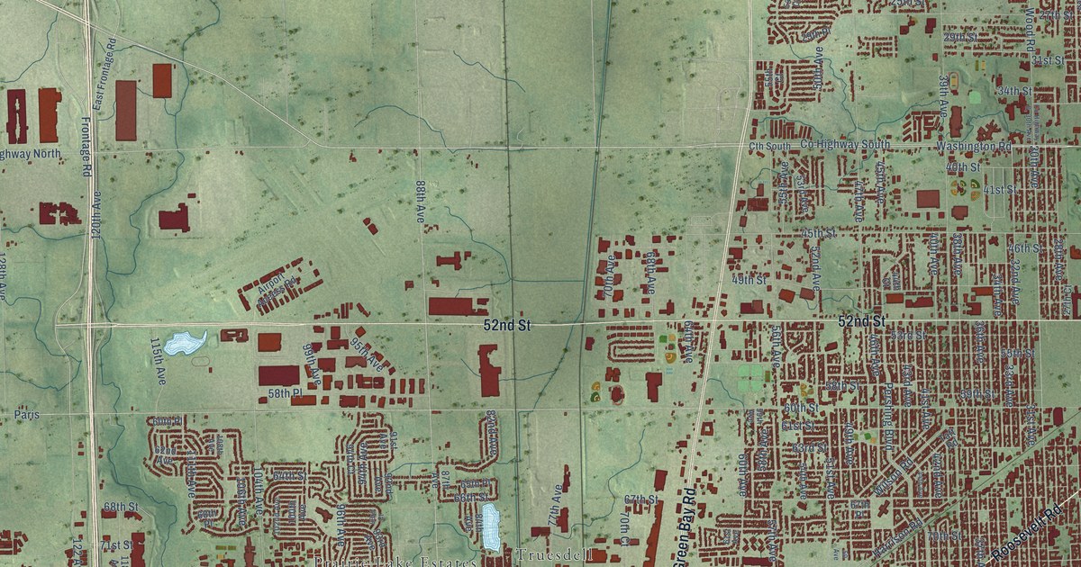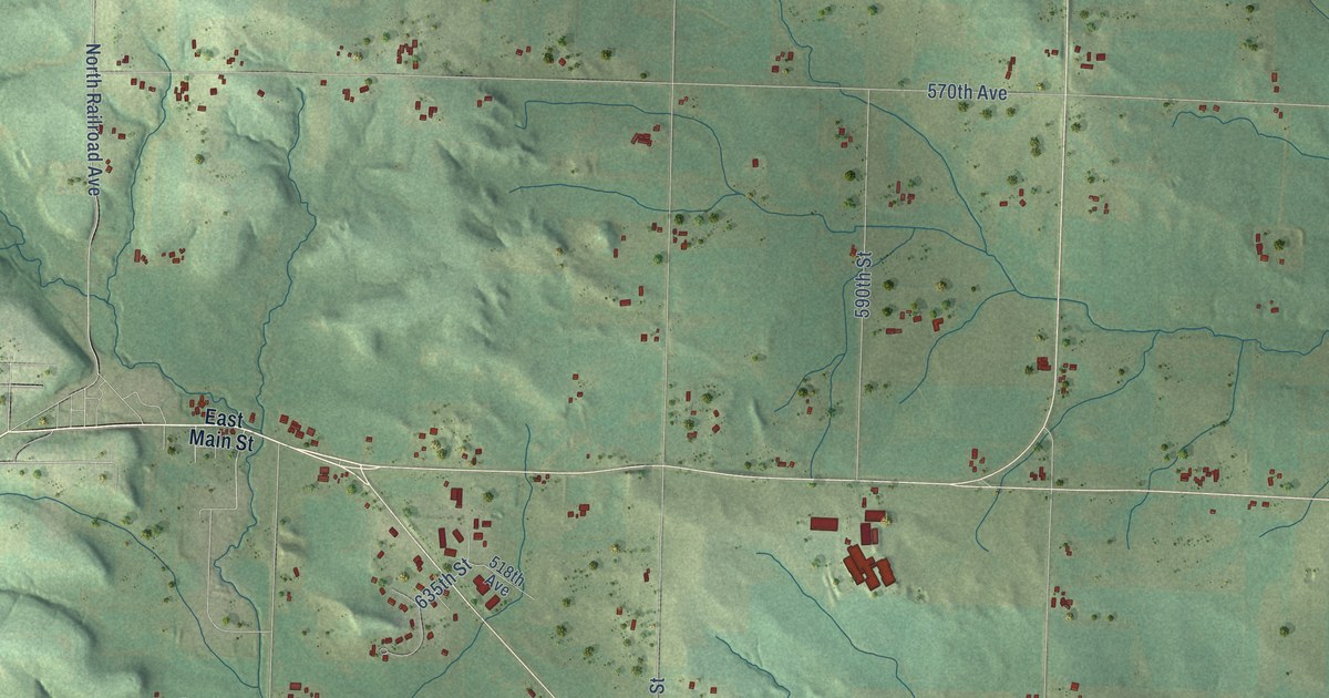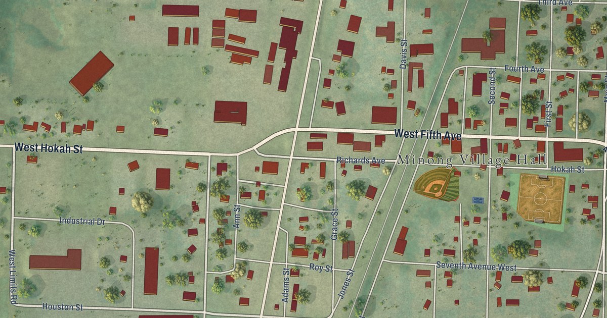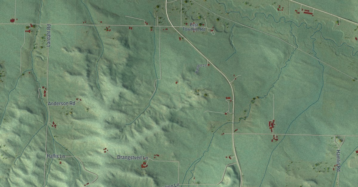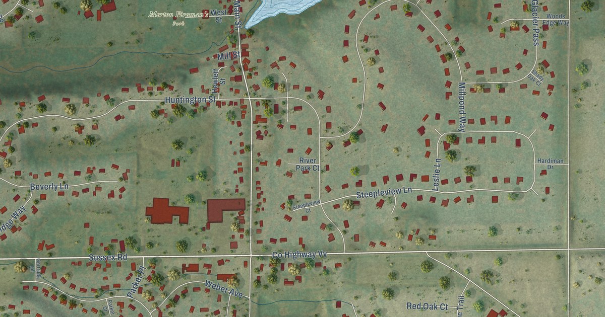
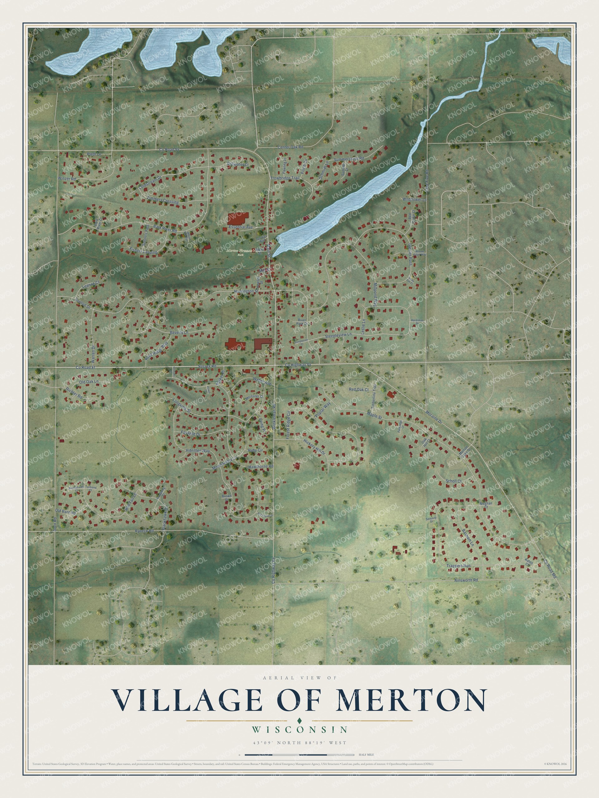
This beautifully detailed map of Merton, Wisconsin was created in 2026 using aerial imagery combined with modern topographical, census, street and landmark data. It's a modern aerial view of Merton in Waukesha County, Wisconsin, that combines modern data with a vintage aesthetic. The roads feature printed names, and if you look closely you can find your exact house accurately shown in its correct location.
Explore an aerial view of Merton, Wisconsin
On this map you'll find Merton Fireman's Park, Sussex Road, Co Road Ef, Main Street, Steepleview Lane, Coldstream Drive, Co Highway Vv, Dorn Road, Co Road Md, Moraine Drive, Maple Street, Ainsworth Road, and more. Each red shape is a building, so zoom in on the preview and look for yours.
Merton has a story worth telling. The History of Waukesha County puts it this way: "During the winter of 1848 and 1849, Dewey K. Warren introduced a bill to have the name of the town changed from Warren to Merton, to correspond with the name of the postoffice established in the town during the previous year. The town has since been known as Merton."
Merton is a village in Waukesha County. The Census Bureau counted 3,441 people here in 2020.
Take a closer look at the Merton map
Names on this map
These names are printed on this map.
Places: Merton Fireman's Park.
Streets and roads: Sussex Road, County Road Ef, Main Street, Steepleview Lane, Coldstream Drive, County Highway Vv, Dorn Road, County Road Md, Moraine Drive, Maple Street, Ainsworth Road, Huntington Street.
More street names, A to Z
Bark River Court, Bark River Road, Basham Lane, Beverly Lane, Blackhawk Drive, Broadwing Court, Brown Drive, Center Oak Road, County Highway Ke, County Road Vv, Essential Avenue, Fairlane Drive, Finch Circle, Fishers Landing, Forest Ridge Circle, Gertrude Lane, Glacier Pass, Hardiman Drive, Hawthorne Road, Hewlett Street, Hibritten Way, Hickory Hill Drive, Irving Place, Kates Court, Lake Five Road, Leanne Court, Leslie Lane, Longview Street, Meadowlark Lane, Meghan Court, Meissner Court, Merton Oaks Drive, Millpond Way, Mill Street, Oak Hill Court, Old Barn Road, Old Oak Lane, Parker Court, Parker Place, Parkridge Court, Pawling Place, Pledl Lane, Poplar Way, Red Cedar Court, Red Feather Drive, Red Oak Court, Red Tail Lane, Richter Road, River Park Court, Rock Ridge Way, Ruby Circle, Rybeck Road, Schmidt Lane, Scholl Court, Serenity Drive, Shady Oak Court, Spinners Pass, Steepleview Court, Stillwater Court, Summer Court, Summerstone Road, Tailband Court, Ted Bies Boulevard, Timberline Trail, Trappers Run, Trowbridge Trail, Vernon Drive, Warren Drive, Weber Avenue, West Street, White Tail Run, Wildflower Lane, Winkleman Road, Winterhawk Court, Winzer Road, Woods Edge Way, Zimmers Crossing.
Created by KNOWOL in 2026. The buildings are small red shapes, the roads carry their printed names, and shaded relief shows the shape of the land. The title panel reads "AERIAL VIEW OF VILLAGE OF MERTON, WISCONSIN" with 43°09' NORTH 88°19' WEST.
It looks right in a kitchen, an office or a den, and it's a gift for anyone who grew up in Merton or moved away. Open the preview and find your street. See sizes and frames for the Merton map.