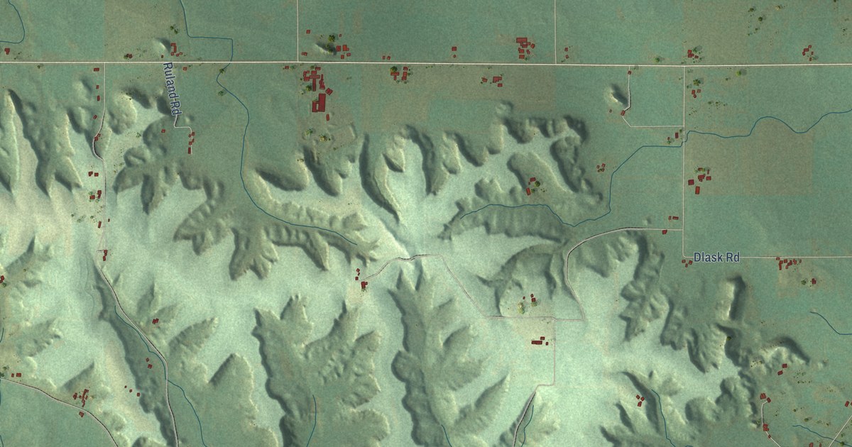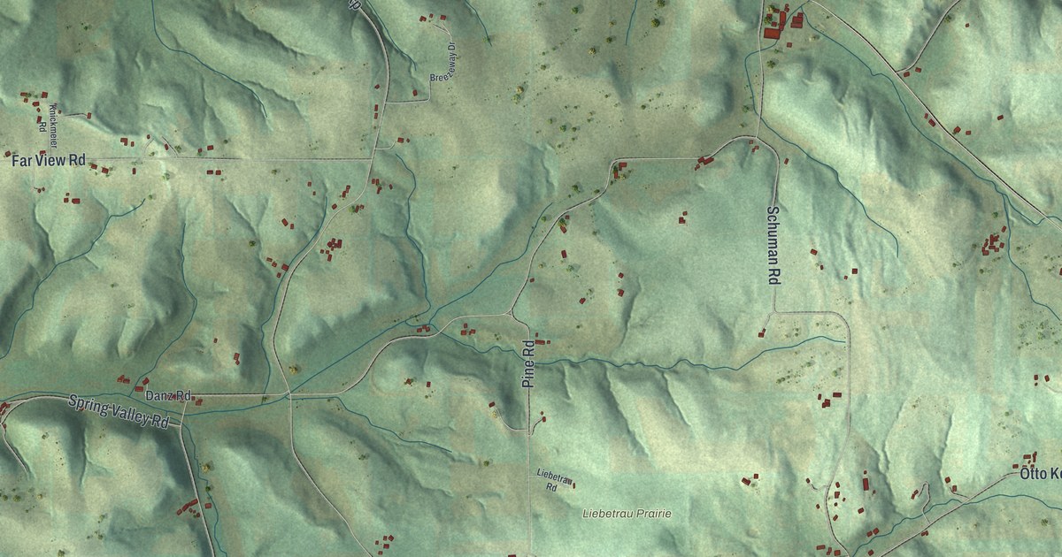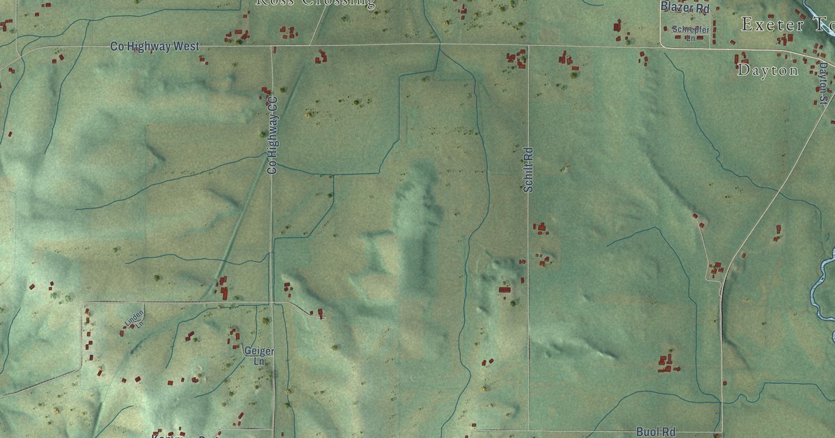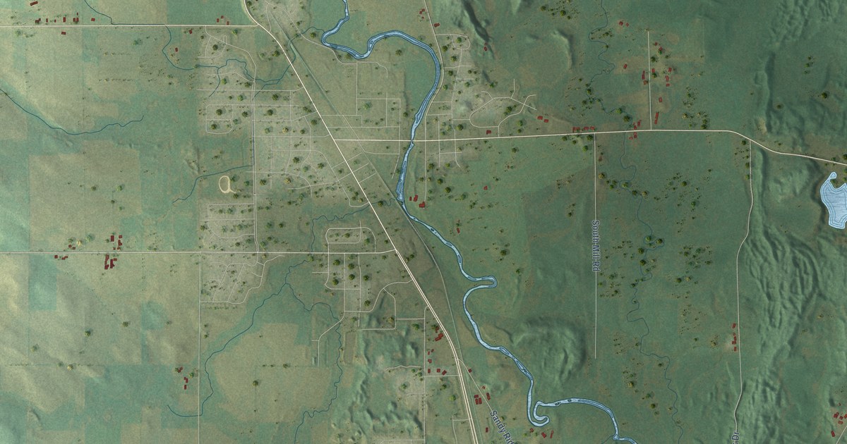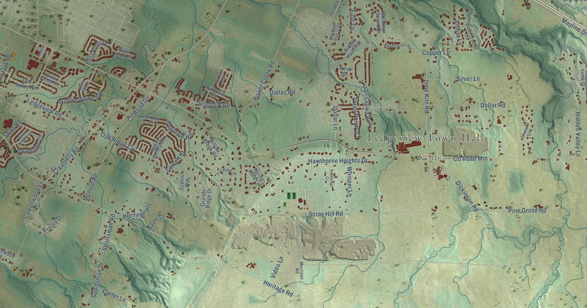
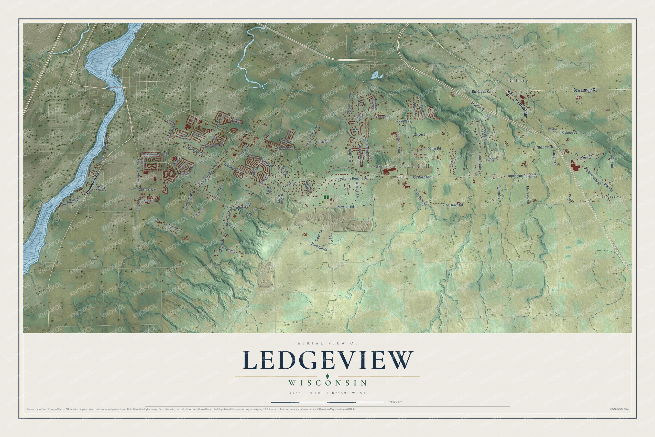
This beautifully detailed map of Ledgeview, Wisconsin was created in 2026 using aerial imagery combined with modern topographical, census, street and landmark data. It's a modern aerial view of Ledgeview in Brown County, Wisconsin, that combines modern data with a vintage aesthetic. The roads feature printed names, and if you look closely you can find your exact house accurately shown in its correct location.
Explore an aerial view of Ledgeview, Wisconsin
On this map you'll find Ledgeview Town Hall, Pine Grove, Kolb, Bellevue, Kewaunee Road, Greenleaf Road, Co Road Mm, Dickinson Road, Scray Hill Road, Heritage Road, Pine Grove Road, Oak Ridge Circle, and more. Each red shape is a building, so zoom in on the preview and look for yours.
Ledgeview is a town in Brown County. The Census Bureau counted 8,820 people here in 2020. The map prints the town name in its title panel, with the coordinates below it.
Take a closer look at the Ledgeview map
Names on this map
These names are printed on this map.
Places: Ledgeview Town Hall, Pine Grove, Kolb and Bellevue.
Streets and roads: Kewaunee Road, Greenleaf Road, County Road Mm, Dickinson Road, Scray Hill Road, Heritage Road, Pine Grove Road, Oak Ridge Circle, Dutchman Road, Lime Kiln Road, Main Street, Monroe Road.
More street names, A to Z
Agatha Christie Avenue, Amber Lane, Angels Path, Ava Hope Trail, Beachmont Road, Berkley Road, Big Creek Road, Bingham Drive, Bower Creek Road, Caboose Lane, Callie Lilly Court, Camaro Court, Carter Lane, Copper Lane, Cottonwood Court, Cottonwood Lane, County Road Gv, County Road Pp, Creamery Road, Creek End Lane, Dallas Road, Dollar Lane, Dollar Road, East River Drive, Elm View Road, Euro Lane, Fascination Drive, Fox River Drive, Foxriver Drive, Garrett Street, Gemstone Trail, Glenmore Road, Grace Street, Grande Ridge Drive, Half Crown Run, Hawthorne Heights Drive, Heritage Heights, Hidden Valley Court, Hidden Valley Lane, Jordan Road, Ledgeview Road, Lone Oak Road, Maple Court, Mayline Drive, Meadow Lane, Meadow Sound Drive, Morrison Road, Oak Ridge Court, Old Plank Road, Old Valley Road, Olivia's Way, Peso Place, Pheasant Run Trail, Ravine Road, Redbird Circle, Reginald Hill, Ridge Haven Court, River Point Court, Rockledge Court, Scenic Way, Shadow Court, Shadow Lane, Silver Lane, Silverstone Trail, South Broadway Drive, Sportsman Drive, Sportsman Road, Spring Hills Lane, Stagecoach Road, Stone Silo Circle, Swan Pointe Terrace, Swan Ridge Trail, Swan Road, Swanstone Circle, Three Penny Court, Tordeur Lane, Trellis Drive, Trestle Road, Video Lane, Viking Lane, Wayne Lane, Weatherstone Trail, Weatherwood Lane, Whisper Lane, Willow Brook Road, Winding Waters Way.
Created by KNOWOL in 2026. The buildings are small red shapes, the roads carry their printed names, and shaded relief shows the shape of the land. The title panel reads "AERIAL VIEW OF LEDGEVIEW, WISCONSIN" with 44°25' NORTH 87°59' WEST.
Hang it in the hallway, the office or the cabin, or give it to someone who left Ledgeview and still calls it home. Open the preview and look for a street you know. See sizes and frames for the Ledgeview map.