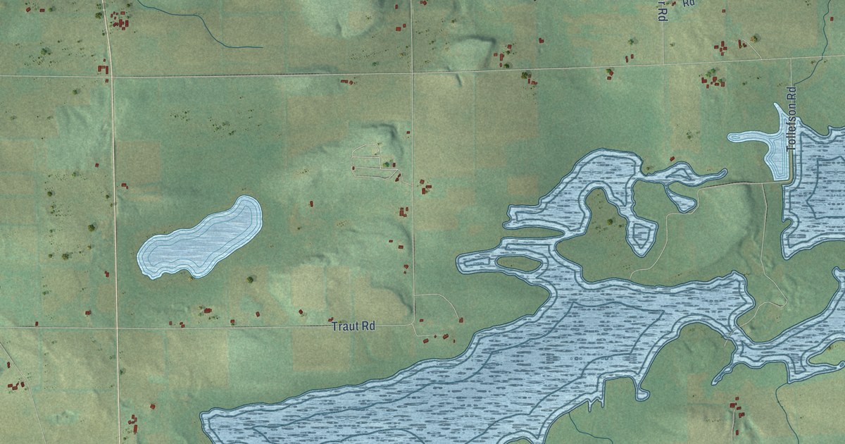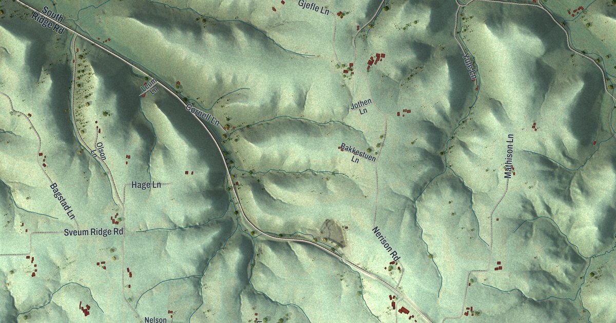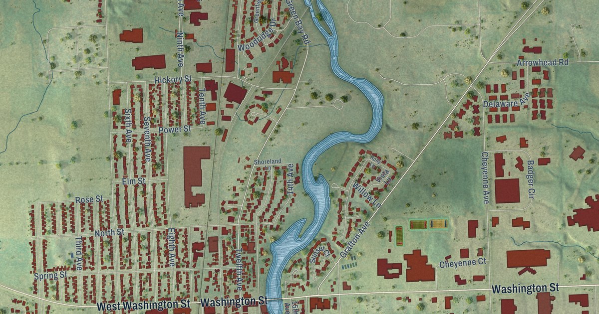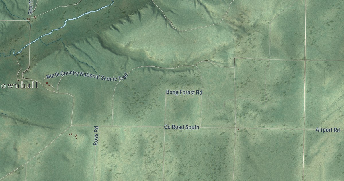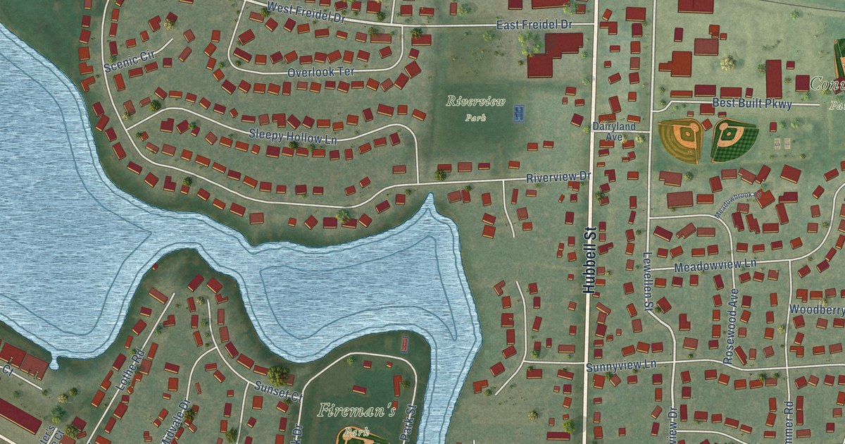
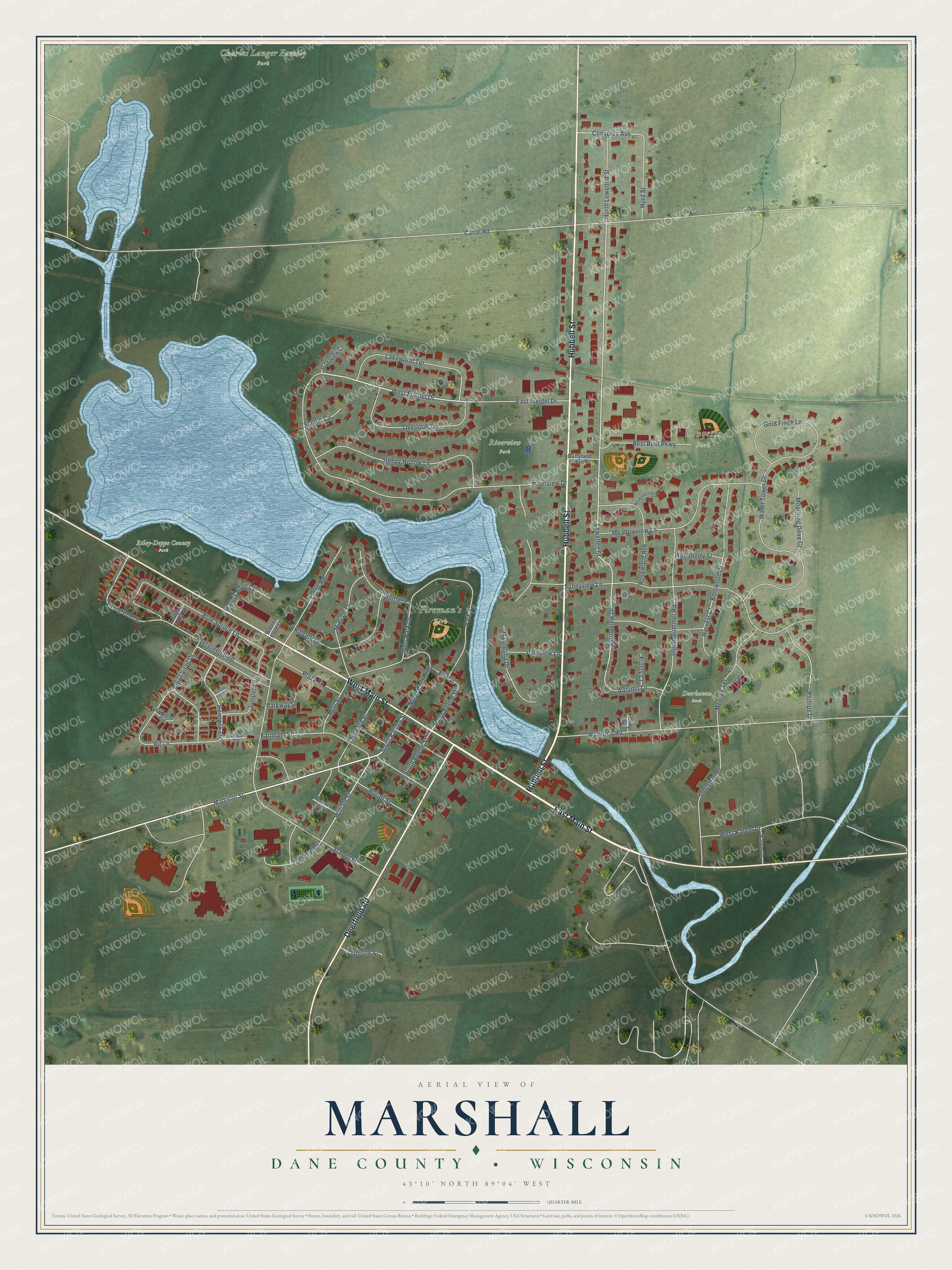
This beautifully detailed map of Marshall, Wisconsin was created in 2026 using aerial imagery combined with modern topographical, census, street and landmark data. It's a modern aerial view of Marshall in Dane County, Wisconsin, that combines modern data with a vintage aesthetic. The roads feature printed names, and if you look closely you can find your exact house accurately shown in its correct location.
Explore an aerial view of Marshall, Wisconsin
On this map you'll find Charles Langer Family Park, Converse Park, Fireman's Park, Riley-Deppe County Park, Deerhaven Park, Riverview Park, East Main Street, Hubbell Street, Deerfield Road, West Main Street, Madison Street, West Freidel Drive, and more. Each red shape is a building, so zoom in on the preview and look for yours.
Marshall has a story worth telling. The A History of Madison puts it this way: "The village of Marshall is located on Waterloo creek, on sections 10 and 15. The town was first settled about 1846."
Marshall is a village in Dane County. The Census Bureau counted 3,787 people here in 2020.
Take a closer look at the Marshall map
Names on this map
These names are printed on this map.
Places: Charles Langer Family Park, Converse Park, Fireman's Park, Riley-Deppe County Park, Deerhaven Park and Riverview Park.
Streets and roads: East Main Street, Hubbell Street, Deerfield Road, West Main Street, Madison Street, West Freidel Drive, William Street, South Pardee Street, Hemlock Lane, Evergreen Drive, Lewellen Street, Springview Drive.
More street names, A to Z
Arbor Vitae Drive, Autumn Lane, Balsam Court, Bentwood Drive, Best Built Parkway, Blue Spruce Lane, Canal Road, Cardinal Drive, Cedar Court, Cody Circle, Converse Avenue, Cypress Circle, Dairyland Avenue, East Freidel Drive, Elm Street, Evergreen Boulevard, Farnham Street, Fir Lane, Frosty Court, Gold Finch Lane, Harvest Court, Herman Street, Hillside Drive, Howard Street, Hurd Street, Indian Summer Road, Industrial Drive, Juniper Lane, Karem Drive, Koch Drive, Lakewood Terrace, Lothe Road, Maunesha Drive, Meadowbrook Court, Meadowview Lane, Merrick Terrace, Midvale Drive, Motl Street, Mourning Dove Court, North Beebe Street, North Lewellen Street, North Pardee Street, Overlook Terrace, Paradise Circle, Park Street, Parkview Lane, Parkway Drive, Phillips Drive, Plaza Drive, Porter Street, Riverview Court, Riverview Drive, Rosewood Avenue, Scenic Circle, School Street, Sleepy Hollow Lane, South Beebe Street, Sugar Pine Street, Sunnyview Lane, Sunset Court, Water's Edge Court, Waterloo Road, Waters Edge Court, Water Tower Drive, West Karem Drive, West Park Drive, Whistle Street, Woodberry Street.
Created by KNOWOL in 2026. The buildings are small red shapes, the roads carry their printed names, and shaded relief shows the shape of the land. The title panel reads "AERIAL VIEW OF MARSHALL, DANE COUNTY • WISCONSIN" with 43°10' NORTH 89°04' WEST.
It looks right in a kitchen, an office or a den, and it's a gift for anyone who grew up in Marshall or moved away. Open the preview and find your street. See sizes and frames for the Marshall, Dane County map.