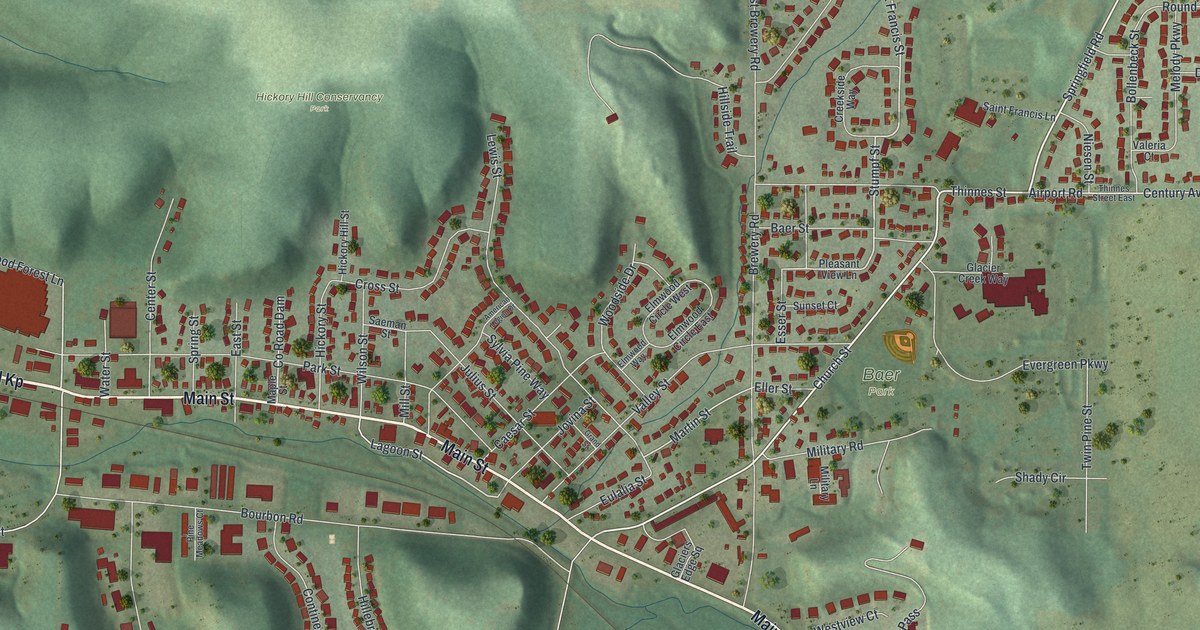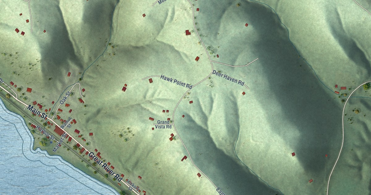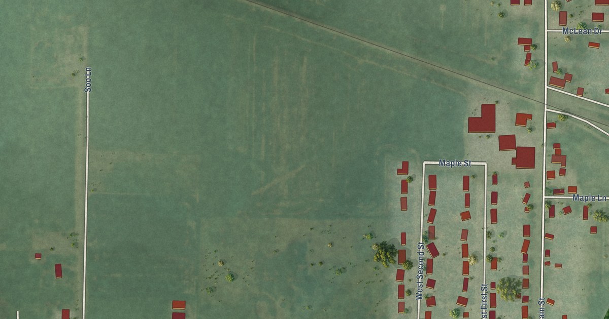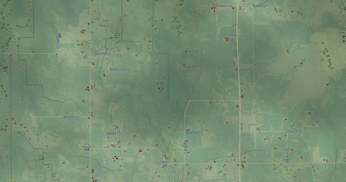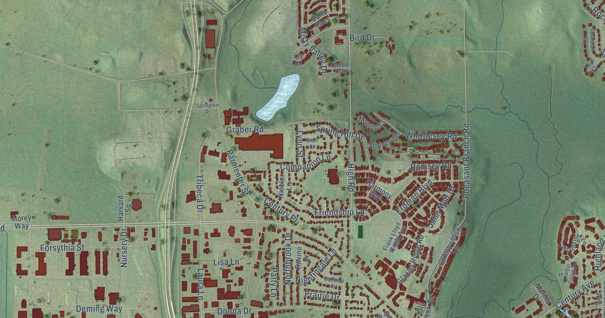
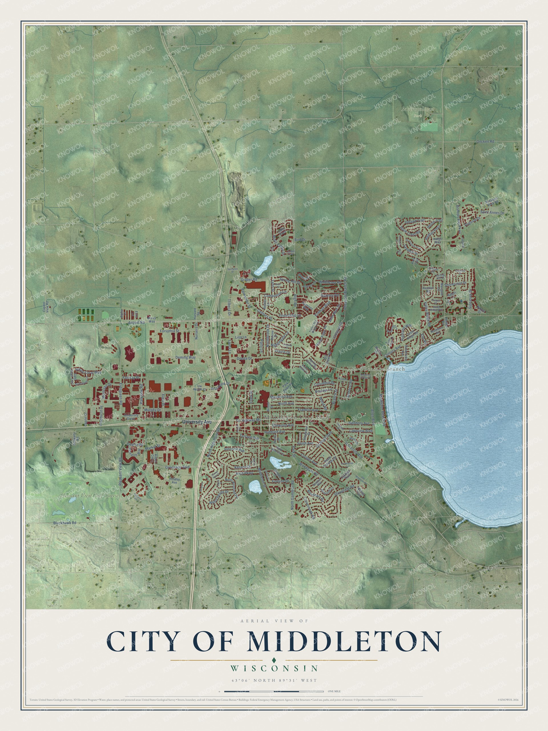
This beautifully detailed map of Middleton, Wisconsin was created in 2026 using aerial imagery combined with modern topographical, census, street and landmark data. It's a modern aerial view of Middleton in Dane County, Wisconsin, that combines modern data with a vintage aesthetic. The roads feature printed names, and if you look closely you can find your exact house accurately shown in its correct location.
Explore an aerial view of Middleton, Wisconsin
On this map you'll find Middleton City Hall, Pheasant Branch, Metropolitan Park, Pleasant View Golf Course, University Avenue, Century Avenue, Parmenter Street, Co Highway Ms, Discovery Drive, Deming Way, High Road, Elm Road, and more. Each red shape is a building, so zoom in on the preview and look for yours.
Here is a piece of Middleton history, in the words of the record. The Internet Archive puts it this way: "Rowan early located as an Indian
trader, at the head of Fourth lake, and was there at the outbreak of the
Black Hawk War, in 1832."
Middleton is a city in Dane County. The Census Bureau counted 21,827 people here in 2020.
Take a closer look at the Middleton map
Names on this map
These names are printed on this map.
Places: Middleton City Hall, Pheasant Branch, Metropolitan Park and Pleasant View Golf Course.
Streets and roads: University Avenue, Century Avenue, Parmenter Street, County Highway Ms, Discovery Drive, Deming Way, High Road, Elm Road, Stonefield Road, Highland Way, Airport Road, Greenway Boulevard.
More street names, A to Z
Algonquin Drive, Allen Boulevard, Alpha Lane, Amherst Road, Aspen Cmns, Augusta Drive, Aurora Street, Baskerville Avenue, Bird Drive, Bishops Bay Parkway, Blackhawk Road, Boulder Lane, Boundary Road, Branch Street, Breakers Rock Road, Briarcliff Lane, Bristol Street, Calla Pass, Callaway Court, Caneel Trail, Capitol Court, Capitol View Road, Cardinal Drive, Cedar Ridge Road, Century Place, Clark Street, Clovernook Road, Columbus Drive, Companion Lane, Concord Drive, Conservancy Lane, Cooper Avenue, Countryside Lane, County Road Dam, Cypress Trail, Donna Drive, Eagle Drive, Echo Lane, Elmwood Avenue, Erdman Boulevard, Evergreen Road, Fairway Place, Forest Glade Court, Forsythia Street, Fortune Drive, Franklin Avenue, Frank Lloyd Wright Avenue, Friendship Lane, Gialamas Way, Glacier Ridge Road, Graber Road, Grassland Trail, Grosse Point Drive, Harbor Village Road, Harmony Way, Harvard Square, Heather Road, Hedden Road, Henry Street, Heron Trail, Hillcrest Avenue, Holiday Avenue, Hubbard Avenue, Indigo Way, John Muir Drive, Jonquil Court, Kenyon Drive, Knoll Court, Lakeview Boulevard, Larkspur Road, Laura Lane, Lily Lane, Lisa Lane, Lynn Street, Manito Court, Marigold Circle, Marina Drive, Market Street, Mathews Road, Mayflower Drive, Maywood Avenue, Mendota Avenue, Middleton Beach Road, Middleton Springs Drive, Middleton Street, Misty Valley Drive, Montclair Drive, Morey Way, Mound Drive, Murphy Drive, Napoli Lane, Nappe Drive, Niebler Lane, Nightingale Lane, North Avenue, Northbrook Drive, North Gammon Road, North High Point Road, North Westfield Road, Nursery Drive, Oakwood Place, Old Creek Road, Old Middleton Road, Oncken Road, Park Lawn Place, Park Shores Court, Park Street, Park Trail, Parkview Road, Patty Lane, Pheasant Branch Road, Pheasant Lane, Pinehurst Drive, Pleasant View Road, Prairie Drive, Quarry Road, Ramsey Road, Ravine Drive, Redtail Pass, Research Way, Rock Crest Road, Rolling Hill Drive, Roma Lane, Saint Annes Drive, Sandhill Drive, Sand Pearl Trail, Savannah Court, Schwartz Road, Sellery Street, Shirley Street, Shorecrest Drive, Signature Drive, South Avenue, South Gateway Street, South Ridge Way, Spring Grove Court, Spring Hill Drive, Springton Drive, Squire Court, Stratford Court, Sunstone Lane, Sweeney Drive, Teal Court, Terrace Avenue, Tribeca Drive, University Green, Upland Trail, Uw Health Court, Valley Ridge Road, Violet Place, Voss Parkway, Westchester Drive, White Coral Way, Whittlesey Road, Willow Trail, Windfield Way, Woodcreek Lane, Woodgate Road, Wood Road.
Created by KNOWOL in 2026. The buildings are small red shapes, the roads carry their printed names, and shaded relief shows the shape of the land. The title panel reads "AERIAL VIEW OF CITY OF MIDDLETON, WISCONSIN" with 43°06' NORTH 89°31' WEST.
It suits a den, a classroom or a front hall, and it makes a gift for anyone with Middleton roots. Open the preview and find the block you know. See sizes and frames for the Middleton map.