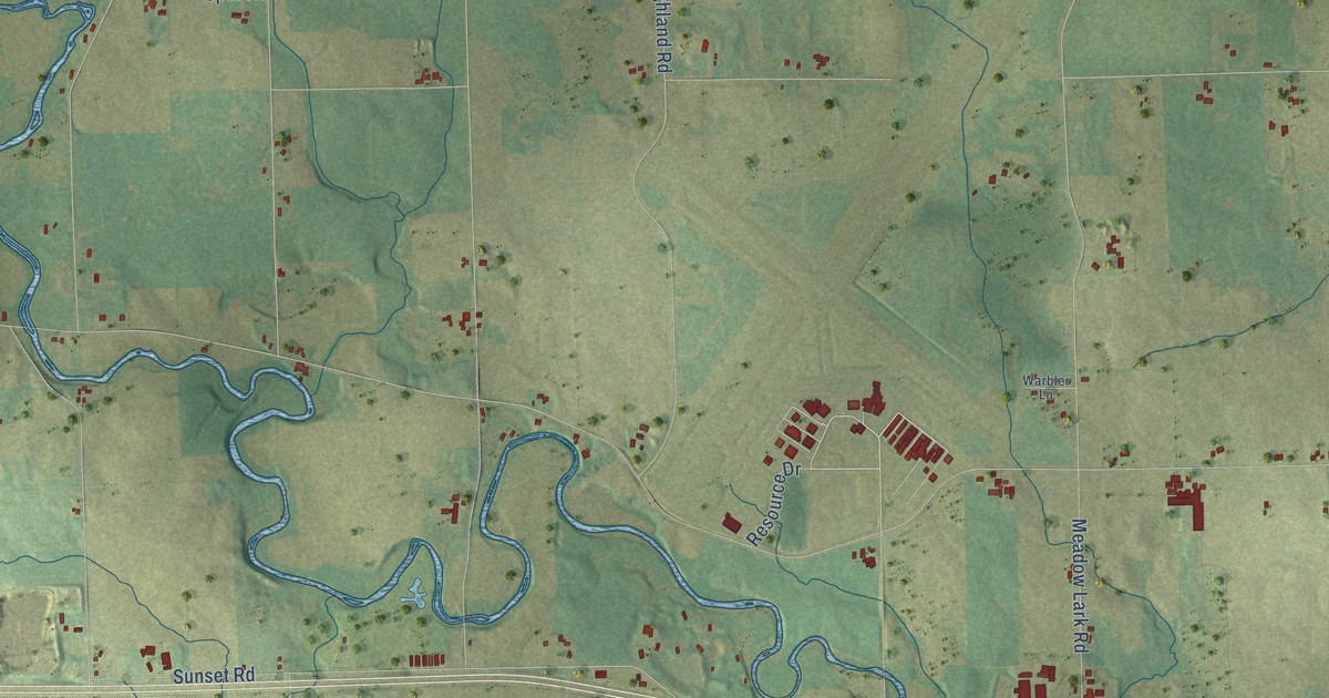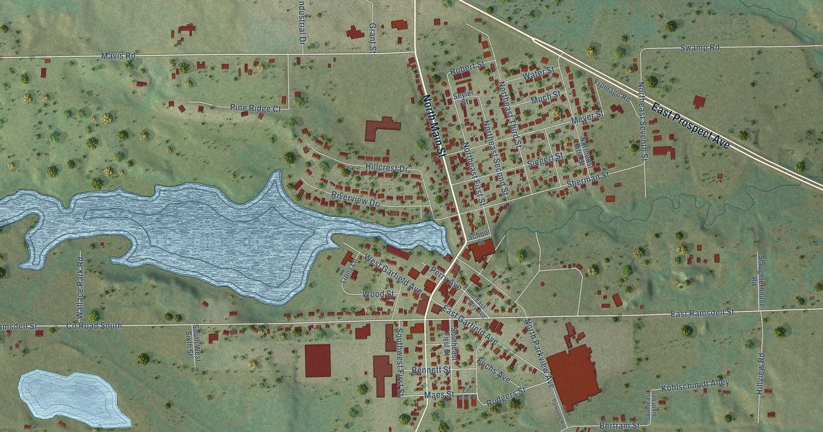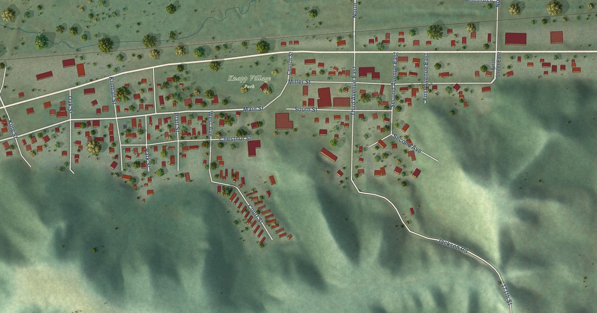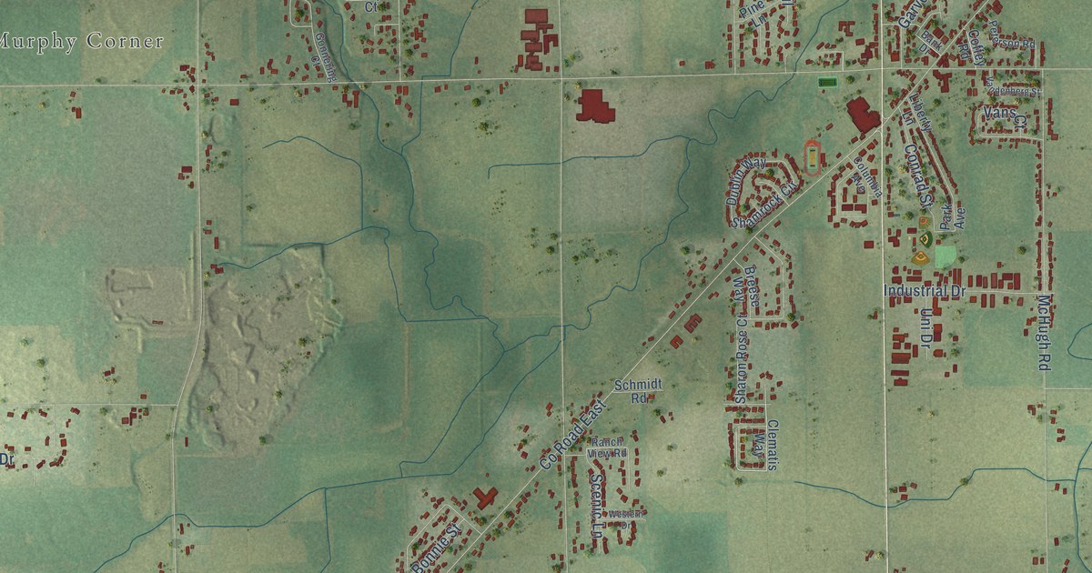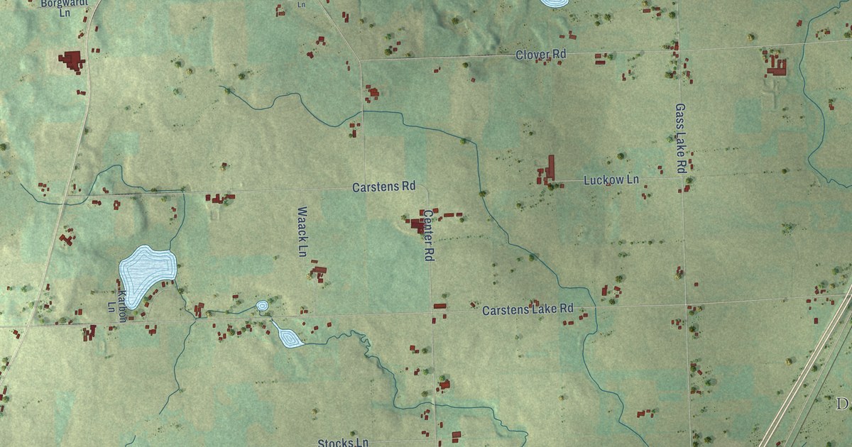
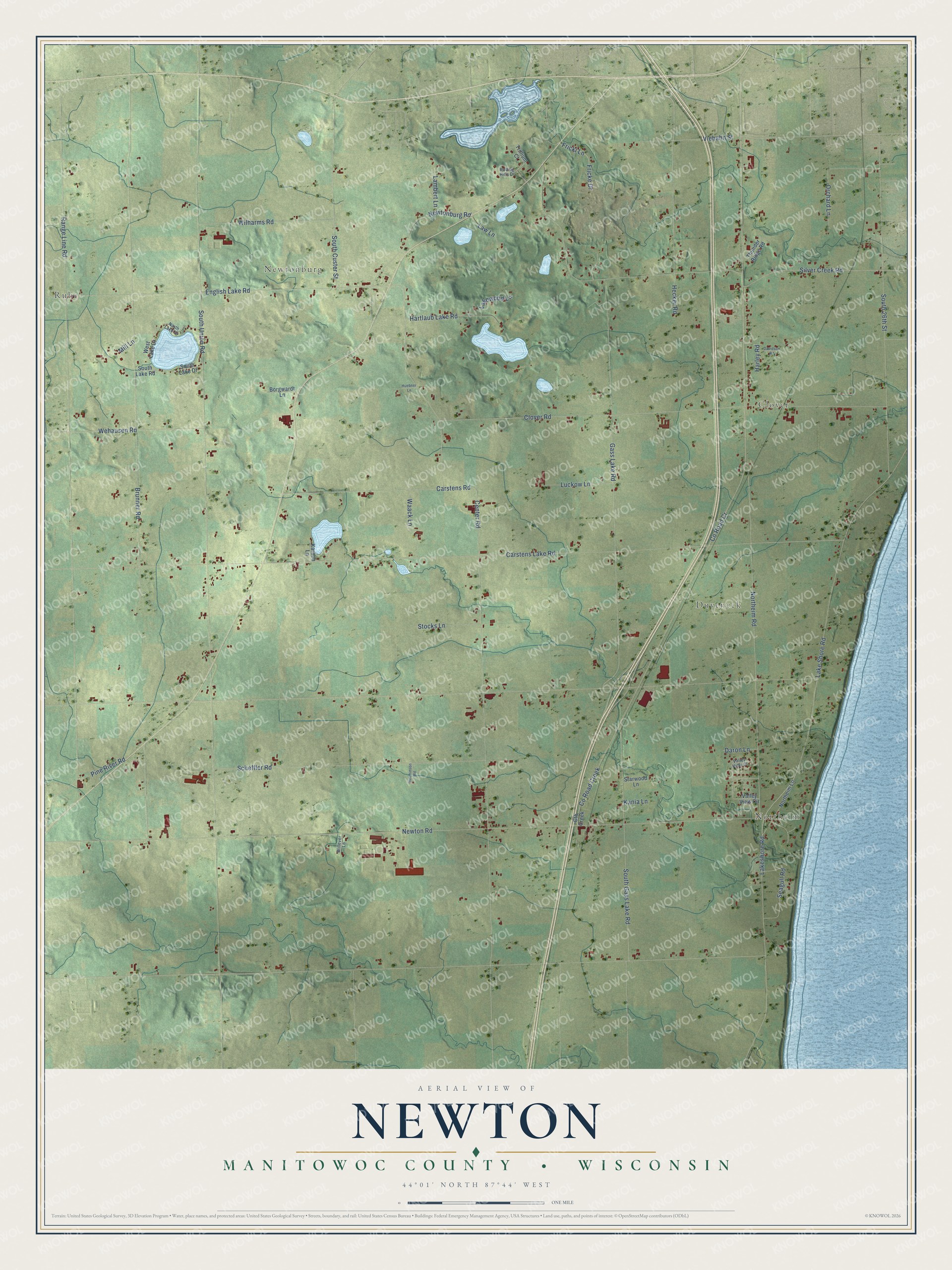
This beautifully detailed map of Newton, Wisconsin was created in 2026 using aerial imagery combined with modern topographical, census, street and landmark data. It's a modern aerial view of Newton in Manitowoc County, Wisconsin, that combines modern data with a vintage aesthetic. The roads feature printed names, and if you look closely you can find your exact house accurately shown in its correct location.
Explore an aerial view of Newton, Wisconsin
On this map you'll find Rube, Northeim, Clover, Newtonburg, Duveneck, Co Road Cr, South Union Road, Carstens Lake Road, Center Road, Range Line Road, Gass Lake Road, Brunner Road, and more. Each red shape is a building, so zoom in on the preview and look for yours.
Every town has a first chapter, and Newton is no exception. The Manitowoc County Historical Society puts it this way: "The Newton area was settled in 1846 by five families from a ship arriving at Sheboygan."
Newton is a town in Manitowoc County. The Census Bureau counted 2,122 people here in 2020.
Take a closer look at the Newton map
Names on this map
These names are printed on this map.
Places: Rube, Northeim, Clover, Newtonburg and Duveneck.
Streets and roads: County Road Cr, South Union Road, Carstens Lake Road, Center Road, Range Line Road, Gass Lake Road, Brunner Road, Newton Road, Clover Road, Lake Shore Road, Northeim Road, South 26th Street.
More street names, A to Z
Borgwardt Lane, Carstens Road, County Road Creek, Cth Creek, Daron Lane, Davidson Road, English Lake Road, Fricke Drive, Fricki Lane, Harley Road, Hartlaub Lake Road, Hecker Road, Huebner Lane, Hutchinson Road, Kania Lane, Karbon Lane, Lakeshore Road, Lakewood Lane, Lambert Lane, Law Lane, Luckow Lane, Mill Lane, Newtonburg Road, Northeim Lane, North Lake Drive, Orchard Lane, Pine River Road, Rolling Hills Drive, Scheffler Road, Seagull Road, Silver Creek Road, South Custer Street, South Gass Lake Road, South Lake Drive, South Lake Road, Starwood Lane, Stocks Lane, Thunder Ridge Road, Trillium Court, Valley View Circle, Valley View Court, Viebahn Street, Waack Lane, Wehausen Road, West Lake Drive, Wilharms Road, Willever Lane.
Created by KNOWOL in 2026. The buildings are small red shapes, the roads carry their printed names, and shaded relief shows the shape of the land. The title panel reads "AERIAL VIEW OF NEWTON, MANITOWOC COUNTY • WISCONSIN" with 44°01' NORTH 87°44' WEST.
Hang it in the hallway, the office or the cabin, or give it to someone who left Newton and still calls it home. Open the preview and look for a street you know. See sizes and frames for the Newton, Manitowoc County map.