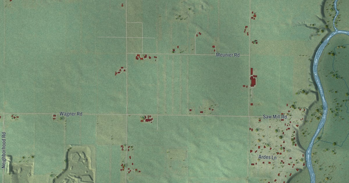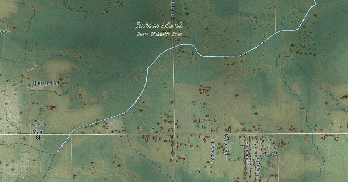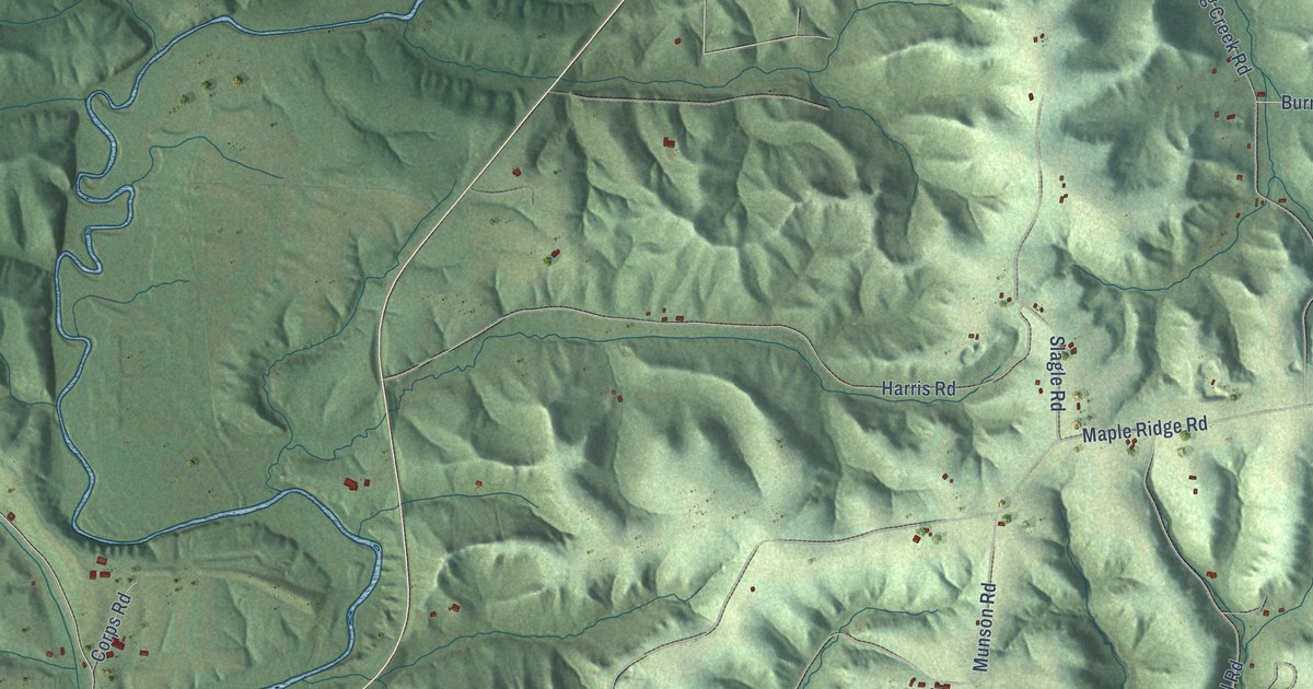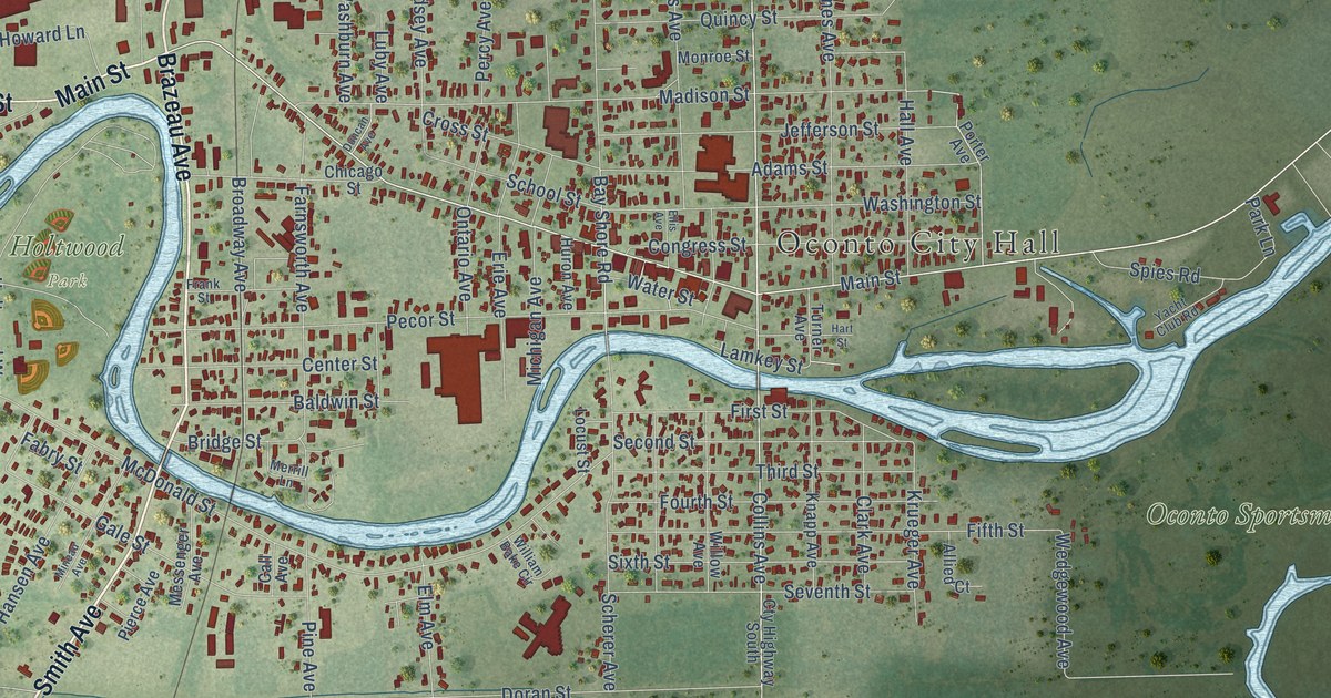
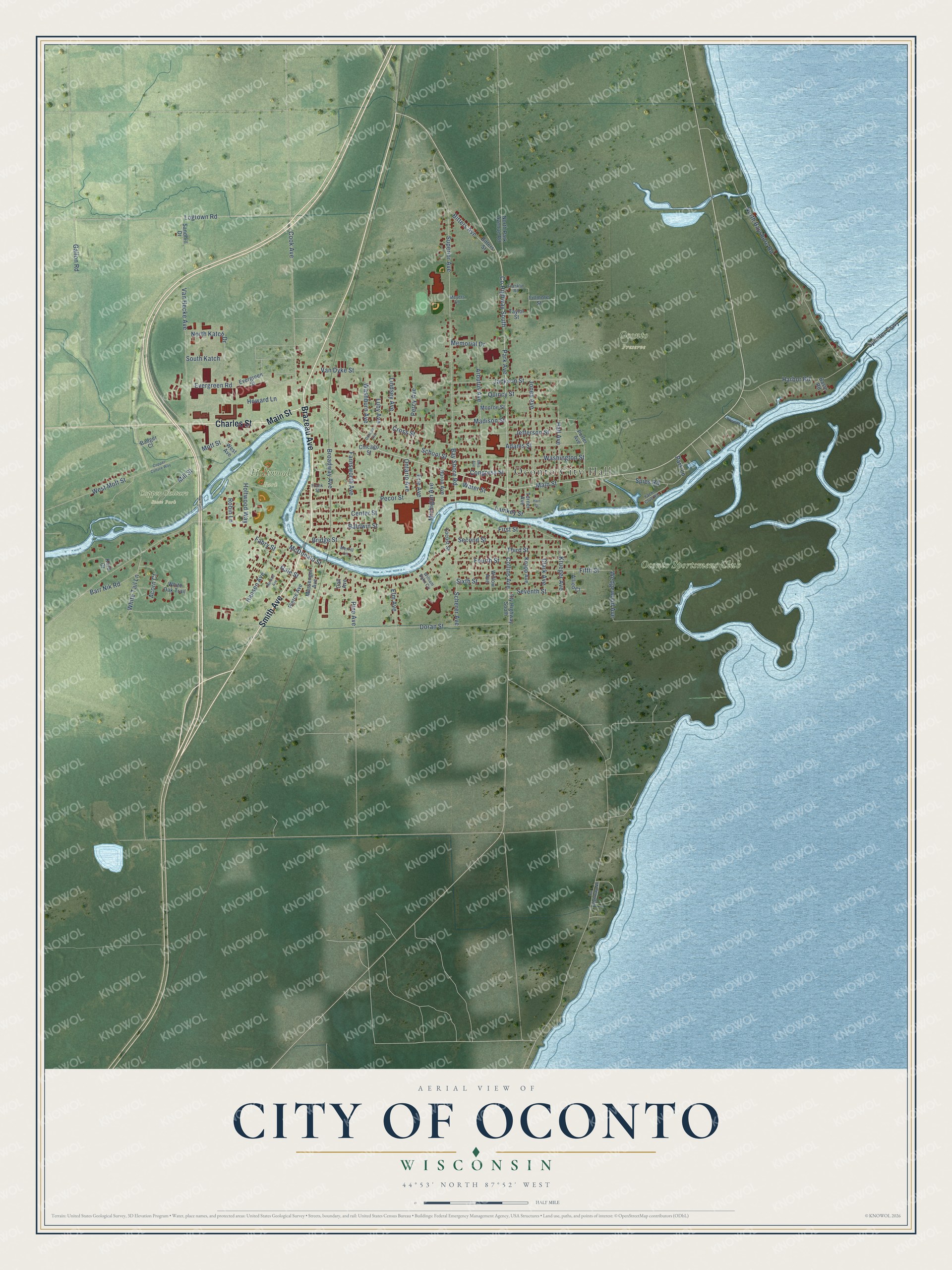
This beautifully detailed map of Oconto, Wisconsin was created in 2026 using aerial imagery combined with modern topographical, census, street and landmark data. It's a modern aerial view of Oconto in Oconto County, Wisconsin, that combines modern data with a vintage aesthetic. The roads feature printed names, and if you look closely you can find your exact house accurately shown in its correct location.
Explore an aerial view of Oconto, Wisconsin
On this map you'll find Oconto City Hall, Copper Culture State Park, Holtwood Park, Oconto Preserve, Oconto Sportsmens Club, Brazeau Avenue, Smith Avenue, Main Street, Charles Street, Park Avenue, Collins Avenue, Doran Street, and more. Each red shape is a building, so zoom in on the preview and look for yours.
Here is a piece of Oconto history, in the words of the record. The City of Oconto puts it this way: "George Lurwick arrived along the Oconto River in 1836 and built a home and sawmill at what is now Susie’s Hill."
Oconto is a city in Oconto County. The Census Bureau counted 4,609 people here in 2020.
Take a closer look at the Oconto map
Names on this map
These names are printed on this map.
Places: Oconto City Hall, Copper Culture State Park, Holtwood Park, Oconto Preserve and Oconto Sportsmens Club.
Streets and roads: Brazeau Avenue, Smith Avenue, Main Street, Charles Street, Park Avenue, Collins Avenue, Doran Street, Bay Shore Road, Wedgewood Avenue, Water Street, West Mott Street, Jones Avenue.
More street names, A to Z
Acorn Court, Adams Street, Allied Court, Arbutus Avenue, Badger Court, Baldwin Street, Barr Nik Road, Basin Road, Bitters Avenue, Bitters Street, Bridge Street, Broadway Avenue, Call Avenue, Center Street, Chicago Street, Clark Avenue, Congress Street, Cook Avenue, Copper Culture Way, County Highway Nn, County Highway South, Cross Street, Cty Highway South, Duncan Avenue, Ellis Avenue, Elm Avenue, Erie Avenue, Evergreen Road, Evergreen Street, Fabry Street, Farnsworth Avenue, Fifth Street, Fillmore Street, First Street, Fourth Street, Franklin Road, Frank Street, Gale Street, Gallon Road, Hall Avenue, Hansen Avenue, Harbor Road, Hart Street, Holtwood Way, Howard Lane, Huron Avenue, Jackson Street, Jefferson Street, Knapp Avenue, Kord Court, Krueger Avenue, Lamkey Street, Lindsey Avenue, Locust Street, Logtown Road, Luby Avenue, Madison Street, McDonald Street, Memorial Drive, Merrill Lane, Messenger Avenue, Meyers Lane, Michigan Avenue, Mill Street, Mineau Avenue, Monroe Street, Mott Street, North Bayshore Road, North Katch Drive, North Park Avenue Road, Ontario Avenue, Park Lane, Pecor Street, Percy Avenue, Pierce Avenue, Pine Avenue, Porter Avenue, Quincy Street, Robin Lane, Sandhill Drive, Scherer Avenue, School Street, Second Street, Seventh Street, Sixth Street, South Katch, Spies Road, Splinter Causeway, Superior Avenue, Taylor Street, Third Street, Turner Avenue, Van Dyke Street, Van Hecke Avenue, Washburn Avenue, Washington Street, West Avenue, White Oak Trail, White Tail Lane, William Bake Circle, Willow Avenue, Yacht Club Road.
Created by KNOWOL in 2026. The buildings are small red shapes, the roads carry their printed names, and shaded relief shows the shape of the land. The title panel reads "AERIAL VIEW OF CITY OF OCONTO, WISCONSIN" with 44°53' NORTH 87°52' WEST.
It suits a den, a classroom or a front hall, and it makes a gift for anyone with Oconto roots. Open the preview and find the block you know. See sizes and frames for the Oconto map.