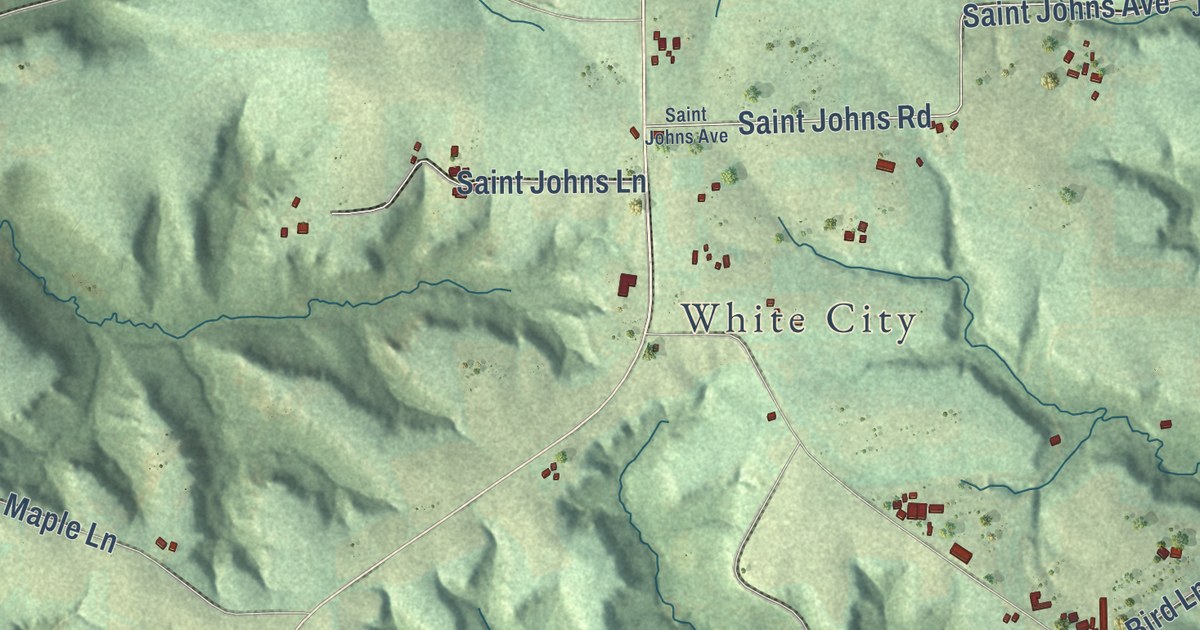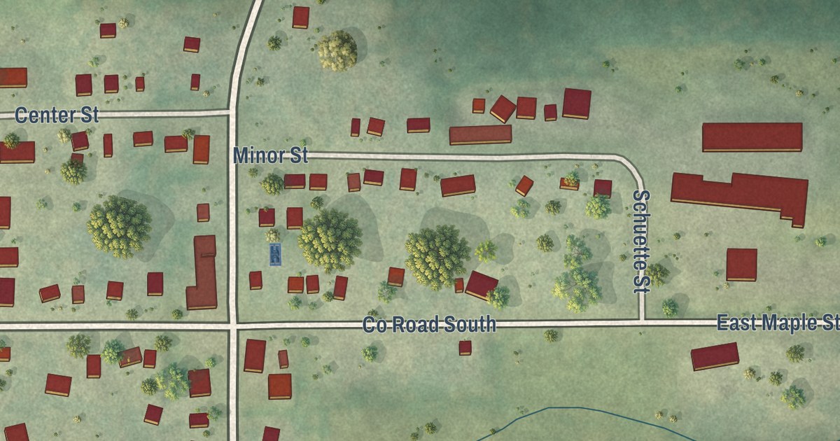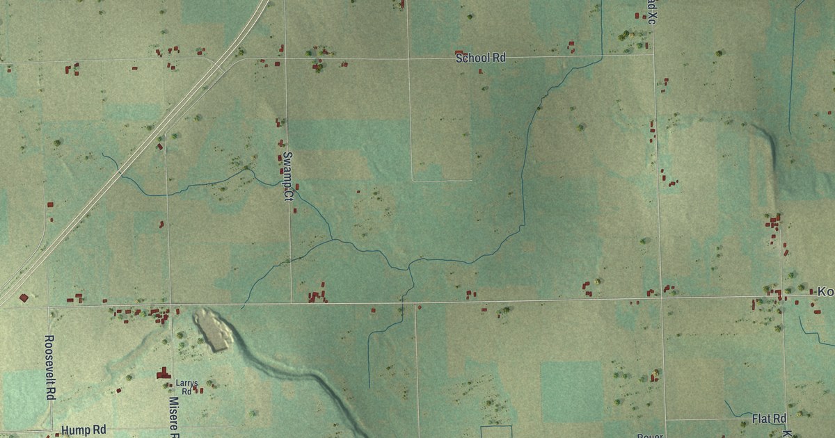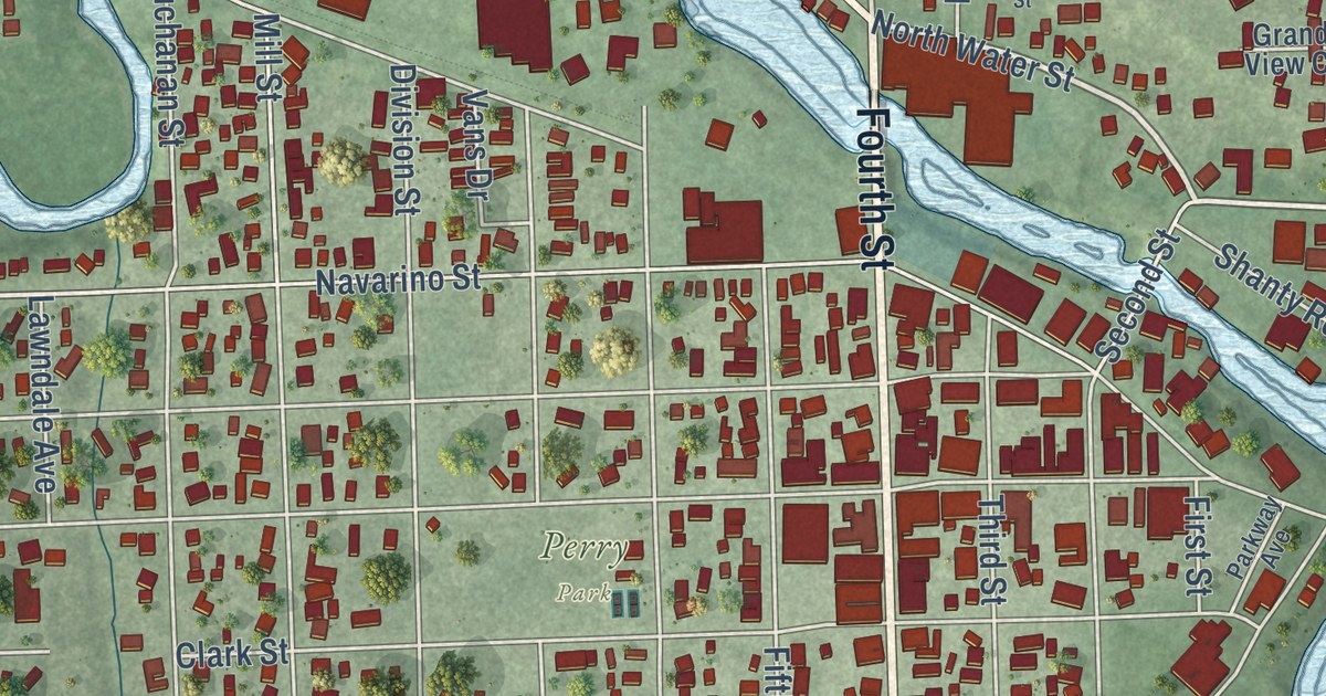
This beautifully detailed map of Algoma, Wisconsin was created in 2026 using aerial imagery combined with modern topographical, census, street and landmark data. It’s a one-of-a-kind view of Algoma that combines accurate data with a vintage aesthetic. The map shows every building in its true location, many of the roads carry their names, and the shaded topographic relief shows the shape of the land.
Explore an aerial view of Algoma, Wisconsin
On the map you’ll find Evergreen Cemetery, Peterson Park, Saint Mary Cemetery, and Perry Park, along with Fourth Street, Lake Street, North Water Street, Jefferson Street, Lakeview Drive, Bay Road, Navarino Avenue, Navarino Street, and more. If you look closely you can even find your house accurately drawn in its correct location. Zoom in on the preview to look for yours.
Did you know this piece of Algoma, Wisconsin history?
From the Kewaunee County History: "A Chicago resident, in a letter to the editor in 1897, said changing the city's name from Ahnapee to Algoma was no improvement. Proposed names came from all over, but Algoma won."
Looking for a different Algoma? Wisconsin also has Algoma in Winnebago County.
Take a closer look at the Algoma map
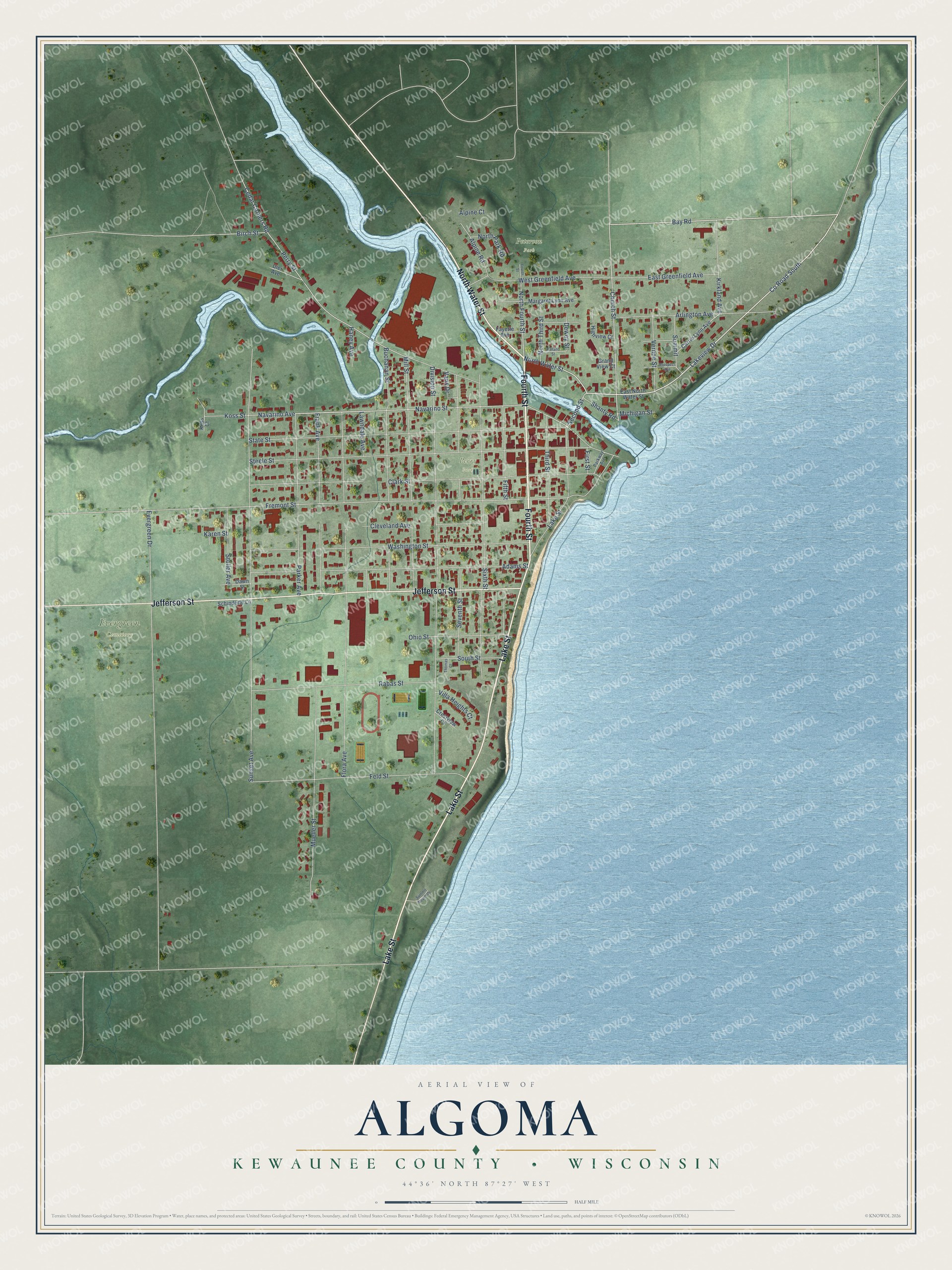
Street and place names on the Algoma, Wisconsin map
These names are printed on the map of Algoma, Wisconsin.
Places: Evergreen Cemetery, Peterson Park and Perry Park.
Streets and roads: Fourth Street, Lake Street, North Water Street, Jefferson Street, Lakeview Drive, Bay Road, Navarino Avenue, Navarino Street, Church Street, North Fourth Street, Fremont Street, County Road South.
More street names, A to Z
Adams Street, Alpine Court, Alpine Road, Arlington Avenue, Birch Street, Buchanan Street, Carrie Lynn Avenue, Cedar Corners Road, Clark Street, Cleveland Avenue, Crestview Court, Dawn Street, Dewey Street, Dier Avenue, Division Street, East Greenfield Avenue, East North Water Street, Evergreen Drive, Fayette Avenue, Feld Street, Fifth Street, First Street, Flora Avenue, Frank Avenue, Grand View Court, Haney Avenue, Highview Court, Karen Street, Kirkland Avenue, Koss Court, Koss Street, Lawndale Avenue, Margaret Lynn Avenue, Michigan Street, Mill Street, Mueller Street, North Park Road, North Third Street, Ohio Street, Parker Avenue, Parkway Avenue, Perry Street, Prospect Avenue, Rabas Street, Rolland Street, Schinderle Lane, Second Street, Seventh Street, Shanty Road, Sixth Street, South Street, State Street, Steele Street, Stoller Avenue, Summit, Summit Beach Drive, Sunset Avenue, Third Street, Thomas Court, Vans Drive, Vernon Street, Villa Heights Court, Washington Street, West Greenfield Avenue.
See the Algoma, Wisconsin map on a wall
The Algoma, Kewaunee County map as an 18 x 24 inch print in a black frame.

This beautifully detailed map of Algoma, Kewaunee County makes an attractive addition to your office, library, or den, and it can even be used to teach children the geography and history of the area. It also makes a great gift for anyone with Algoma roots. When you’re done exploring, click here to get your copy of the Algoma, Kewaunee County map.