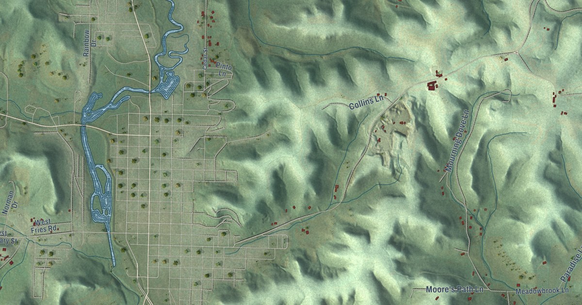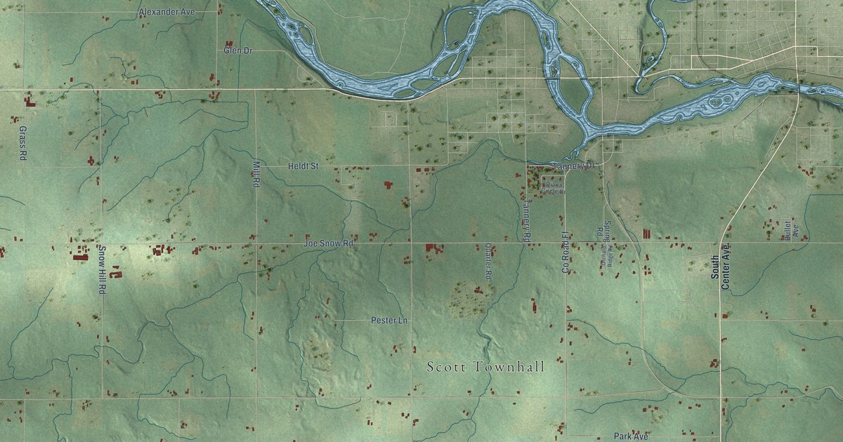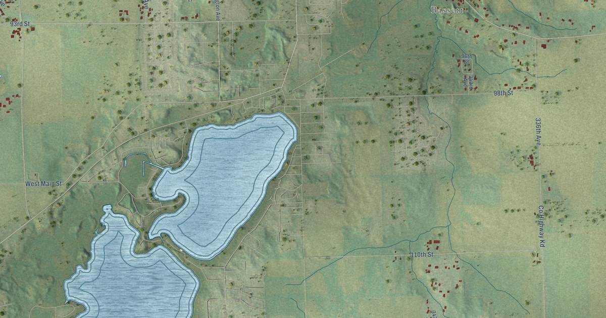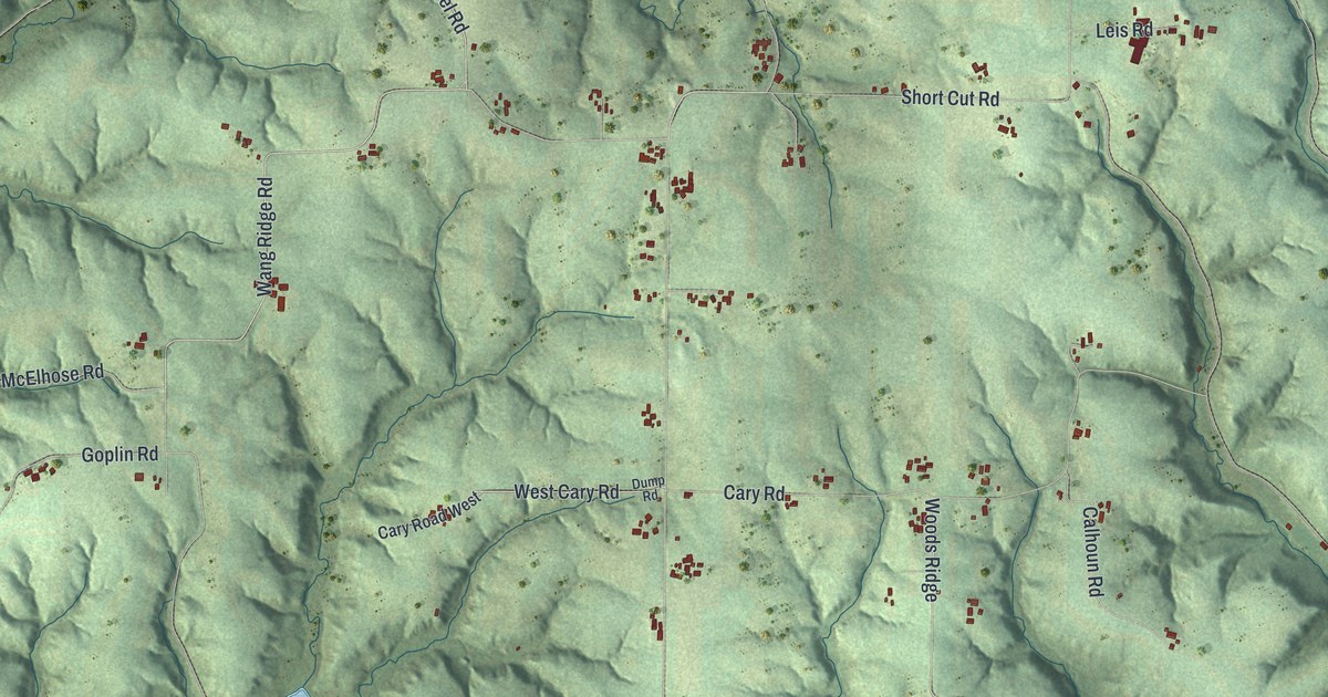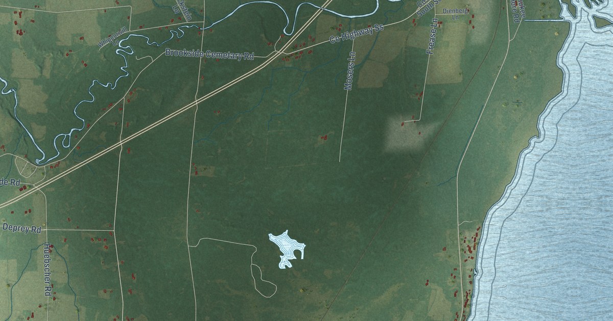
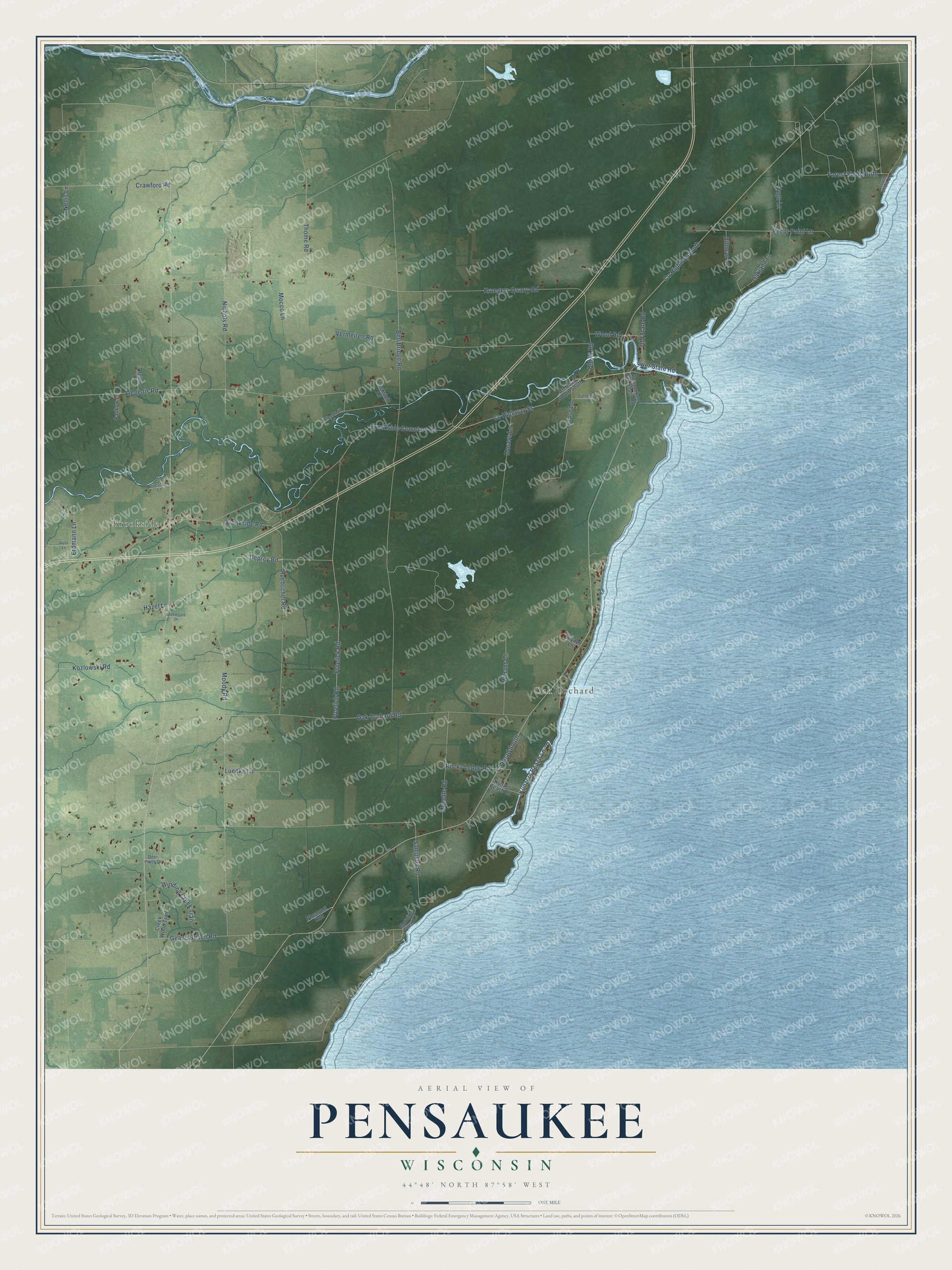
This beautifully detailed map of Pensaukee, Wisconsin was created in 2026 using aerial imagery combined with modern topographical, census, street and landmark data. It's a modern aerial view of Pensaukee in Oconto County, Wisconsin, that combines modern data with a vintage aesthetic. The roads feature printed names, and if you look closely you can find your exact house accurately shown in its correct location.
Explore an aerial view of Pensaukee, Wisconsin
On this map you'll find Oak Orchard, Brookside, Co Highway Ss, Deprey Road, Kunzers Beach Lane, Co Highway South, Co Road South, Bell Bridge Road, Kruegers Quarry Road, Oak Orchard Road, Sampson Road, Moody Road, and more. Each red shape is a building, so zoom in on the preview and look for yours.
Every town has a first chapter, and Pensaukee is no exception. The History of Northern Wisconsin puts it this way: "Pensaukee is twenty-five miles north of Green Bay, and was partially destroyed by a tornado, July 7, 1877. A large hotel, a saw mill, shingle mill and store, school-house and depot were blown down and a tug wrecked."
Pensaukee is a town in Oconto County. The Census Bureau counted 1,352 people here in 2020.
Take a closer look at the Pensaukee map
Names on this map
These names are printed on this map.
Places: Oak Orchard and Brookside.
Streets and roads: County Highway Ss, Deprey Road, Kunzers Beach Lane, County Highway South, County Road South, Bell Bridge Road, Kruegers Quarry Road, Oak Orchard Road, Sampson Road, Moody Road, Liegeois Road, Geano Beach Road.
More street names, A to Z
Brookside Cemetary Road, Brookside Road, County Road South South, Crawford Road, Creek Wood Trail, Deer Place Drive, Dienberg Lane, Dittman Lane, Duescher Lane, Erdmann Lane, Forest Shop North, Frease Lane, Froelich Road, Froelick Road, Halla Lane, Hazel Lane, Huebscher Road, Hugo Lane, Kozlowski Road, Kunzer Beach Lane, Lockstein Lane, Lower State Road, Luedke Lane, Mocco Lane, Monette Road, Morning View Lane, Mosers Lane, Nellis Lane, Nichols Road, Oakland Lane, Old 41 Road, Old State Road, Pankow Lane, Pecor Point Lane, Pensaukee Bay Shore Road, Peters Lane, Pheasant Run, Rocky Ledge Road, Snyder Lane, South Shore Drive, Steelegate Drive, Thome Road, Vermeiren Road, Whipporwill Lane, Winans Lane, Winding Creek Trail, Wood Road.
Created by KNOWOL in 2026. The buildings are small red shapes, the roads carry their printed names, and shaded relief shows the shape of the land. The title panel reads "AERIAL VIEW OF PENSAUKEE, WISCONSIN" with 44°48' NORTH 87°58' WEST.
Hang it in the hallway, the office or the cabin, or give it to someone who left Pensaukee and still calls it home. Open the preview and look for a street you know. See sizes and frames for the Pensaukee map.