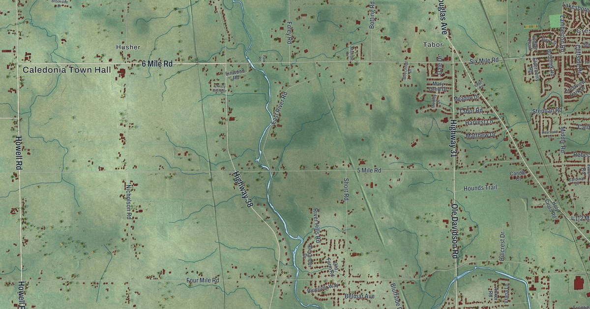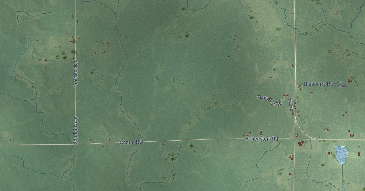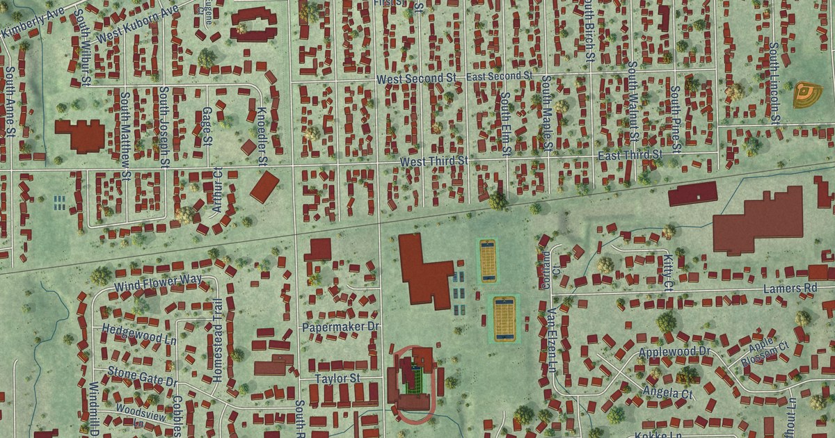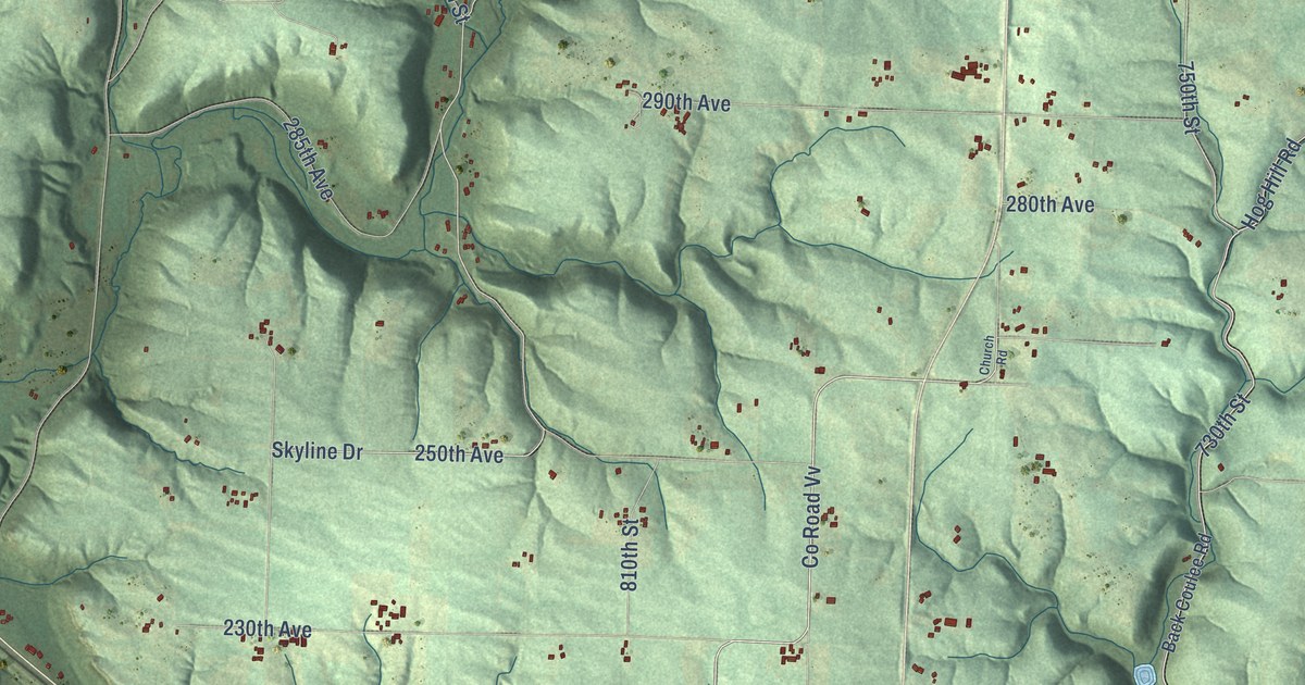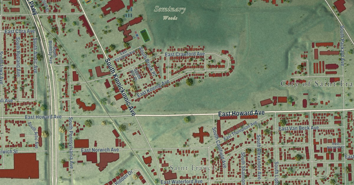
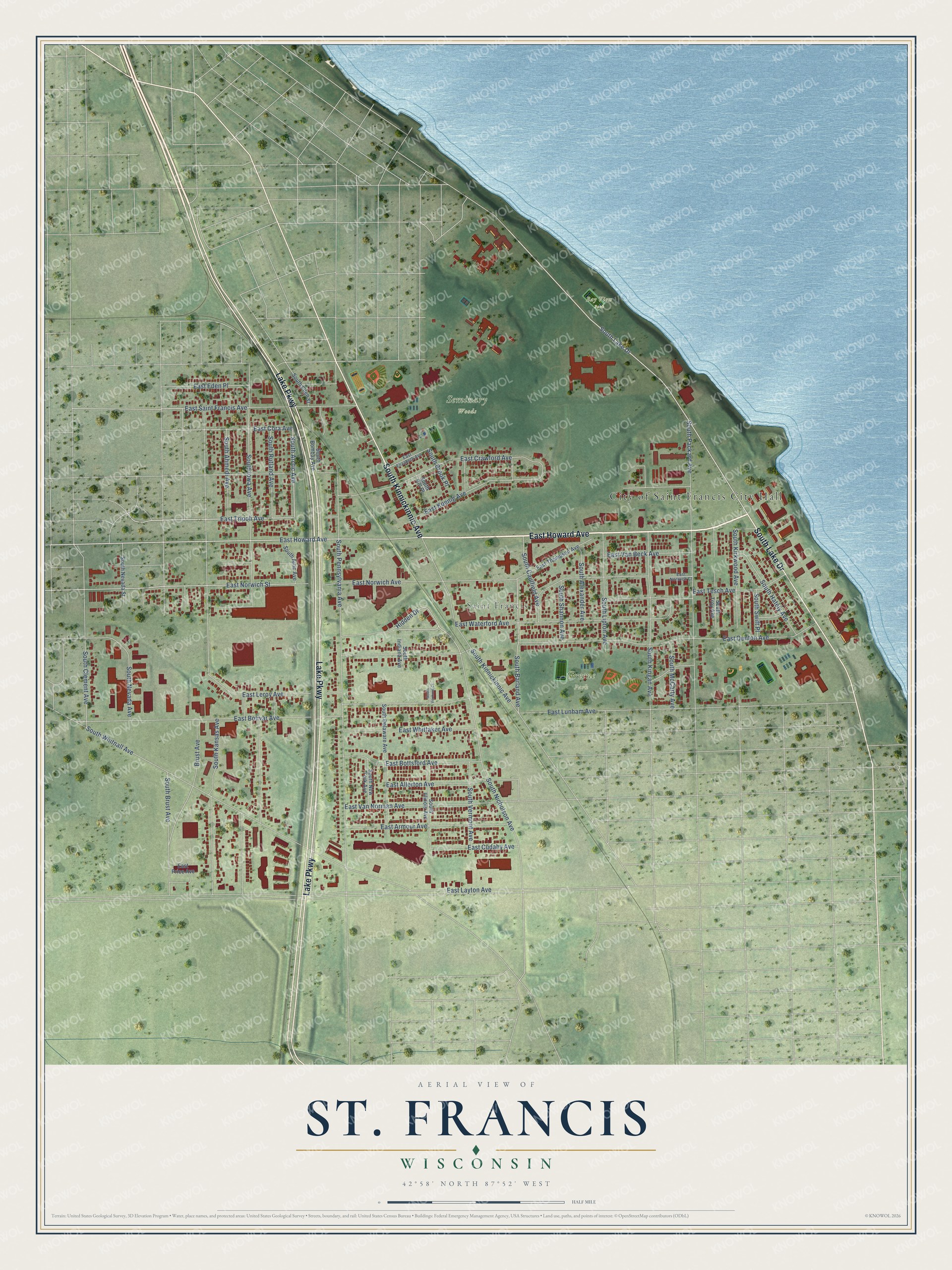
This beautifully detailed map of St. Francis, Wisconsin was created in 2026 using aerial imagery combined with modern topographical, census, street and landmark data. It's a modern aerial view of St. Francis in Milwaukee County, Wisconsin, that combines modern data with a vintage aesthetic. The roads feature printed names, and if you look closely you can find your exact house accurately shown in its correct location.
Explore an aerial view of St. Francis, Wisconsin
On this map you'll find City of Saint Francis City Hall, Saint Francis, Bay View Park, Greene Park, Seminary Woods, East Howard Avenue, Lake Parkway, South Lake Drive, South Kinnickinnic Avenue, East Tripoli Avenue, South Arctic Avenue, South Barland Avenue, and more. Each red shape is a building, so zoom in on the preview and look for yours.
Here is a piece of St. Francis history, in the words of the record. The Historical Marker Database puts it this way: "In 1796 John Baptiste Corbine, a French-Canadian fur trader, arrived at Little Lac Courte Oreilles and established a trading post here in 1800."
St. Francis is a city in Milwaukee County. The Census Bureau counted 9,161 people here in 2020.
Take a closer look at the St. Francis map
Names on this map
These names are printed on this map.
Places: City of Saint Francis City Hall, Saint Francis, Bay View Park, Greene Park and Seminary Woods.
Streets and roads: East Howard Avenue, Lake Parkway, South Lake Drive, South Kinnickinnic Avenue, East Tripoli Avenue, South Arctic Avenue, South Barland Avenue, Hidden Drive, East Cora Avenue, East Norwich Street, South Brust Avenue, East Norwich Avenue.
More street names, A to Z
Brust Avenue, East Allerton Avenue, East Armour Avenue, East Bolivar Avenue, East Bottsford Avenue, East Crawford Avenue, East Cudahy Avenue, East Denton Avenue, East Eden Place, East Elizabeth Avenue, East Koenig Avenue, East Layton Avenue, East Leroy Avenue, East Lunham Avenue, East Norwich Court, East Price Avenue, East Saint Francis Avenue, East Tesch Avenue, East Thompson Avenue, East Van Beck Avenue, East Van Norman Avenue, East Waterford Avenue, East Whittaker Avenue, South Ahmedi Avenue, South Alexander Avenue, South Artic Avenue, South Bombay Avenue, South Brook Place, South Caulfield Avenue, South Clement Avenue, South Delaware Avenue, South Ellen Street, South Hately Avenue, South Hill Place, South Illinois Avenue, South Indiana Avenue, South Iowa Avenue, South Kansas Avenue, South Kingan Avenue, South Kirkwood Avenue, South Lipton Avenue, South McCarty Avenue, South Nevada Avenue, South Nevada Street, South New York Avenue, South Nicholson Avenue, South Packard Avenue, South Pennsylvania Avenue, South Rutland Avenue, South Shannon Avenue, South Swift Place, South Troy Avenue, South Vermont Avenue, South Vermont Court, South Whitnall Avenue.
Created by KNOWOL in 2026. The buildings are small red shapes, the roads carry their printed names, and shaded relief shows the shape of the land. The title panel reads "AERIAL VIEW OF ST. FRANCIS, WISCONSIN" with 42°58' NORTH 87°52' WEST.
It suits a den, a classroom or a front hall, and it makes a gift for anyone with St. Francis roots. Open the preview and find the block you know. See sizes and frames for the St. Francis map.