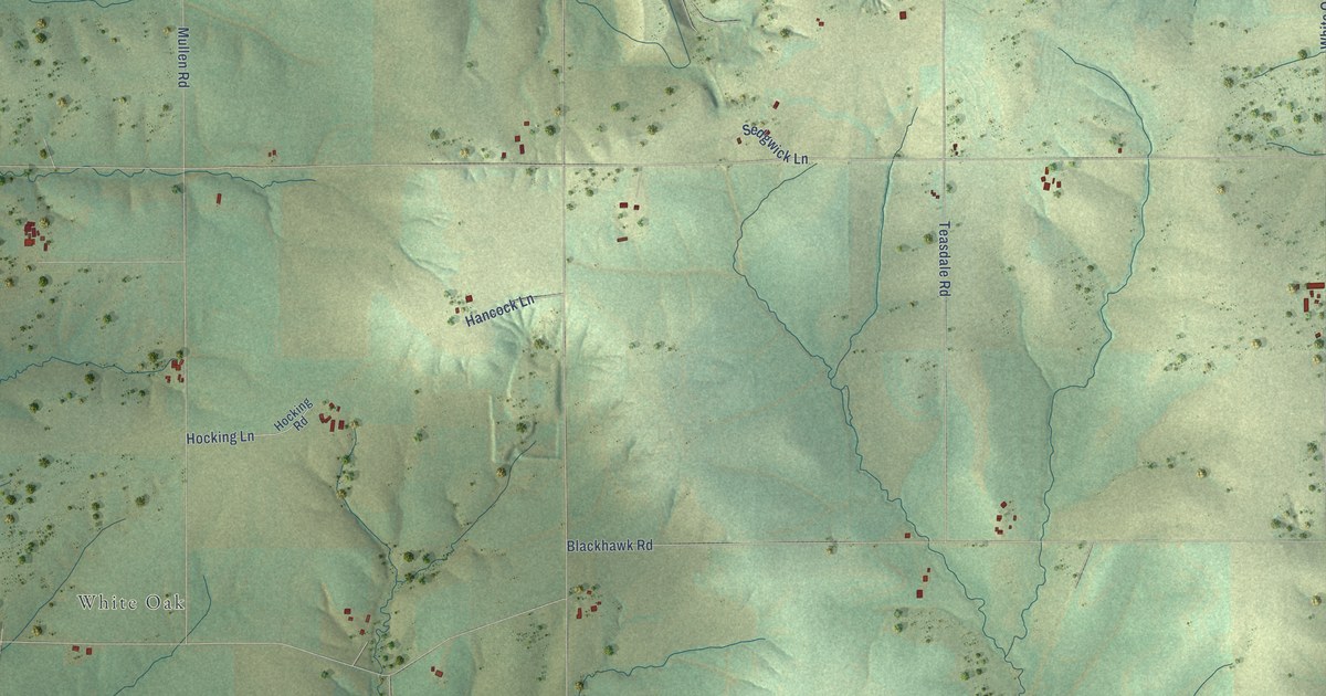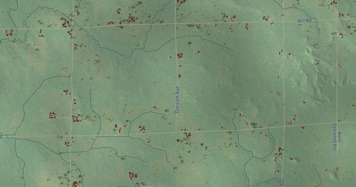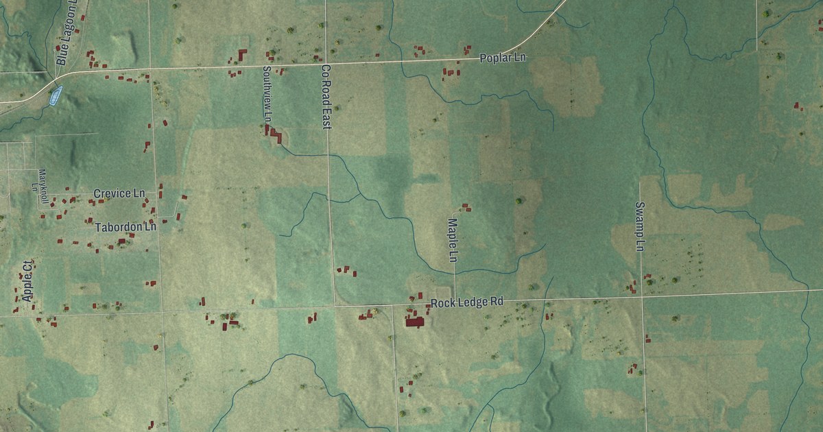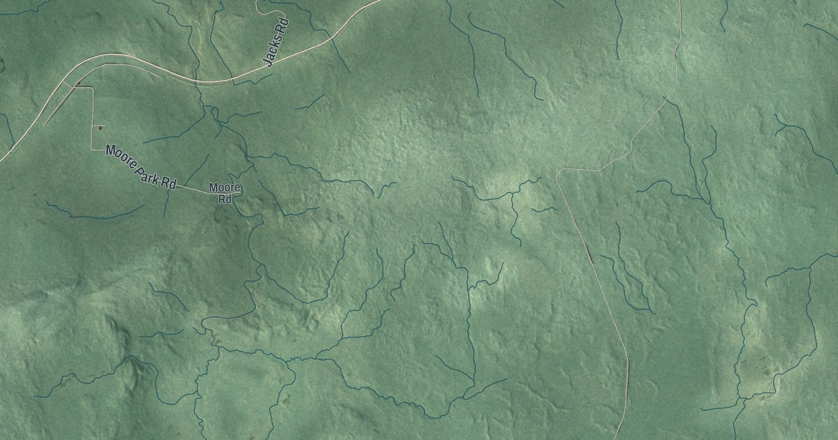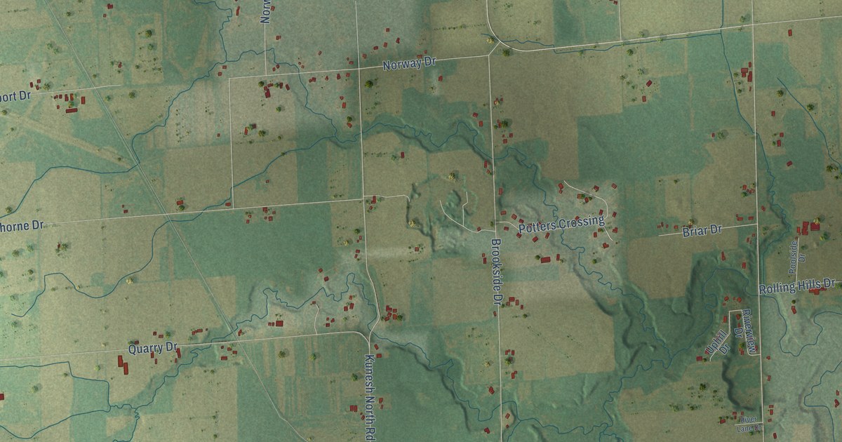
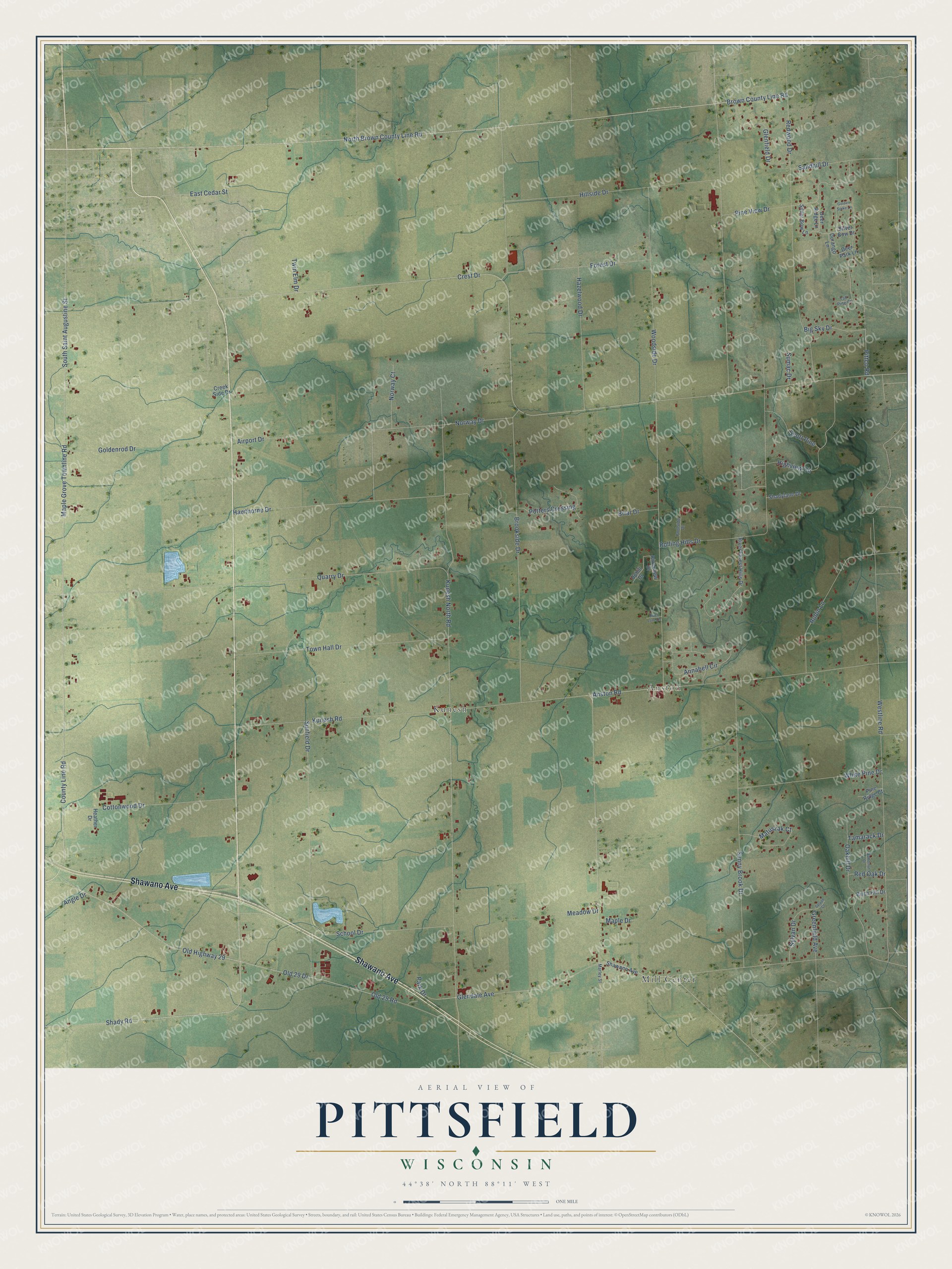
This beautifully detailed map of Pittsfield, Wisconsin was created in 2026 using aerial imagery combined with modern topographical, census, street and landmark data. It's a modern aerial view of Pittsfield in Brown County, Wisconsin, that combines modern data with a vintage aesthetic. The roads feature printed names, and if you look closely you can find your exact house accurately shown in its correct location.
Explore an aerial view of Pittsfield, Wisconsin
On this map you'll find Anston, Kunesh, Mill Center, Shawano Avenue, Old 29 Road, South Saint Augustine Street, North Brown County Line Road, Old 29 Drive, Old Highway 29, Shady Road, Brown County Line Road, East Cedar Street, and more. Each red shape is a building, so zoom in on the preview and look for yours.
Here is a piece of Pittsfield history, in the words of the record. The Internet Archive puts it this way: "At what is known as Mill Center in the town of Pittsfield, there were in 1855
and some years later, ten sawmills."
Pittsfield is a town in Brown County. The Census Bureau counted 2,791 people here in 2020.
Take a closer look at the Pittsfield map
Names on this map
These names are printed on this map.
Places: Anston, Kunesh and Mill Center.
Streets and roads: Shawano Avenue, Old 29 Road, South Saint Augustine Street, North Brown County Line Road, Old 29 Drive, Old Highway 29, Shady Road, Brown County Line Road, East Cedar Street, Crest Drive, Glendale Avenue, Pittco Road.
More street names, A to Z
Airport Drive, Angle Drive, Annabell Circle, Anston Road, Big Sky Drive, Birch Hill Drive, Briar Drive, Brookside Drive, Butternut Drive, Cottonwood Drive, County Line Road, Creek Side Drive, Deer Park Lane, Deer Ridge Lane, Durango Lane, Forest Drive, Glenfield Drive, Goldenrod Drive, Golden Spike Lane, Greenfield Avenue, Hawthorne Drive, Hazelwood Drive, Heather Drive, Highview Circle, Hillside Drive, Kunesh North Road, Kunesh Road, Maple Drive, Maple Grove Townline Road, Marley Street, Matuszak Court, Meadow Drive, Norway Court, Norway Drive, Oakhill Drive, Park Drive, Pine Ridge Court, Pine View Drive, Poolside Drive, Potters Crossing, Quarry Drive, Red Oak Drive, Redwood Drive, River Forest Hills Drive, River Lane Drive, Riverview Drive, Robin Lane, Rolling Hills Drive, Sandhill Drive, School Drive, Scott Pine, Shadylane Drive, Silver Bow Drive, Silver Bow Lane, Sumac Drive, Sunfield Drive, Sunny Brook Drive, Sylvan Court, Sylvan Drive, Tall Pine Court, Tamarack Drive, Town Hall Drive, Twin Elm Drive, Uphill Drive, Westline Road, White Pine Drive, Woodside Drive.
Created by KNOWOL in 2026. The buildings are small red shapes, the roads carry their printed names, and shaded relief shows the shape of the land. The title panel reads "AERIAL VIEW OF PITTSFIELD, WISCONSIN" with 44°38' NORTH 88°11' WEST.
It suits a den, a classroom or a front hall, and it makes a gift for anyone with Pittsfield roots. Open the preview and find the block you know. See sizes and frames for the Pittsfield map.