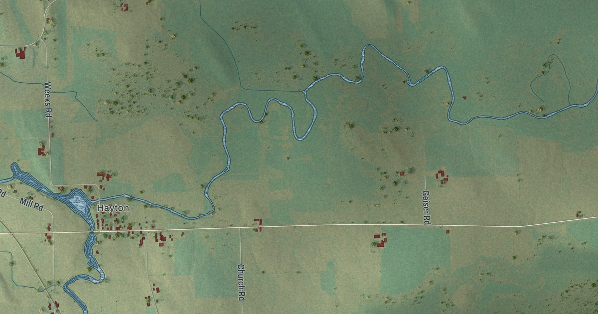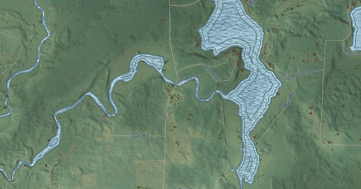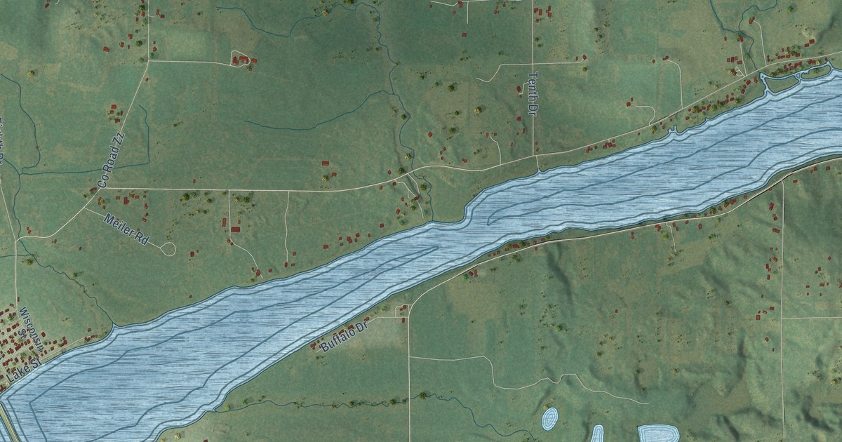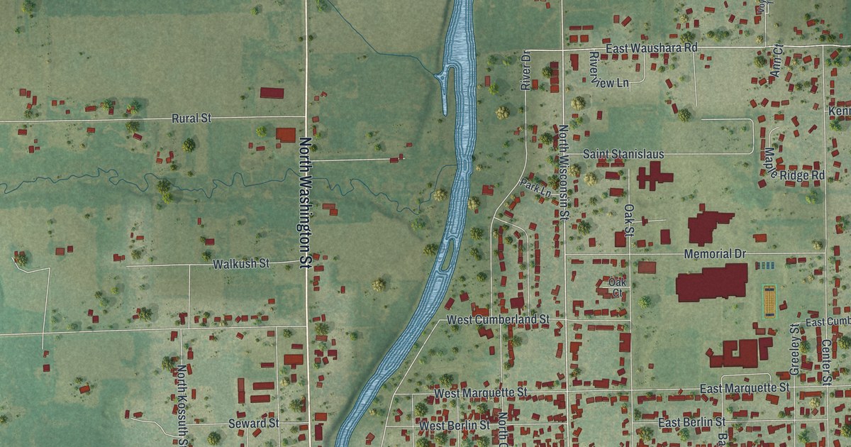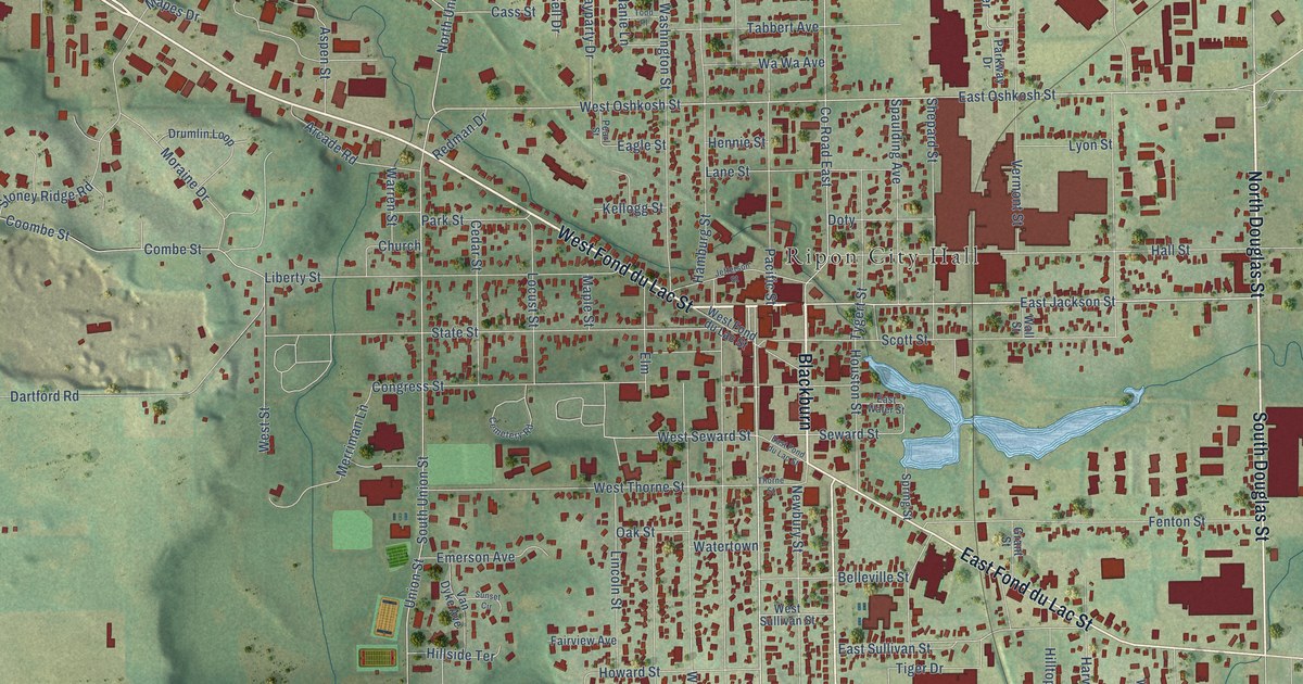
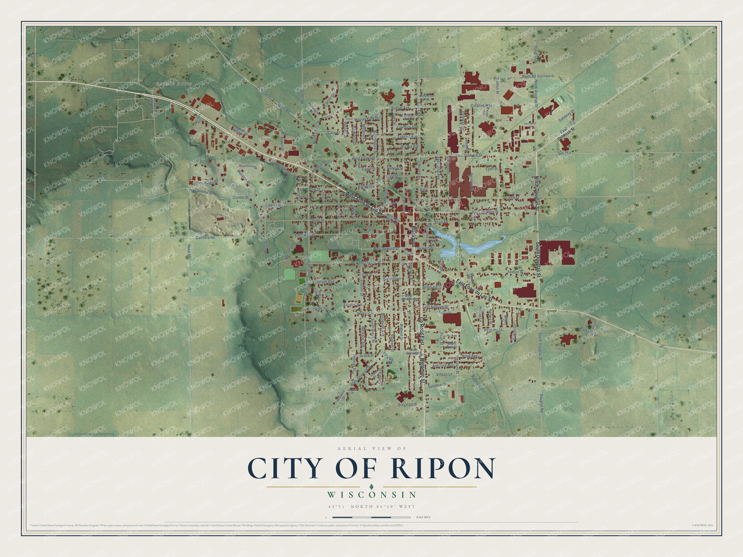
This beautifully detailed map of Ripon, Wisconsin was created in 2026 using aerial imagery combined with modern topographical, census, street and landmark data. It's a modern aerial view of Ripon in Fond du Lac County, Wisconsin, that combines modern data with a vintage aesthetic. The roads feature printed names, and if you look closely you can find your exact house accurately shown in its correct location.
Explore an aerial view of Ripon, Wisconsin
On this map you'll find Ripon City Hall, Barlow Park, Murray Park, Arcade Acres, West Fond du Lac Street, North Douglas Street, Co Road East, Blackburn, East Fond du Lac Street, South Douglas Street, Metomen Street, Watson Street, and more. Each red shape is a building, so zoom in on the preview and look for yours.
Every town has a first chapter, and Ripon is no exception. The Internet Archive puts it this way: "The very first cheese made, as the beginning of an experimental business enterprise, was
made in the spring of 1844, by Chester Hazen, in the town of Springvale."
Ripon is a city in Fond du Lac County. The Census Bureau counted 7,863 people here in 2020.
Take a closer look at the Ripon map
Names on this map
These names are printed on this map.
Places: Ripon City Hall, Barlow Park, Murray Park and Arcade Acres.
Streets and roads: West Fond du Lac Street, North Douglas Street, County Road East, Blackburn, East Fond du Lac Street, South Douglas Street, Metomen Street, Watson Street, East Jackson Street, Park Road, East Oshkosh Street, West Oshkosh Street.
More street names, A to Z
Arcade Glen Road, Arcade Road, Ardmore Avenue, Aspen Street, Beechwood Court, Beier Road, Belleville Street, Berlin Road, Cambridge Drive, Carol Avenue, Cass Street, Cedar Street, Cemetery Road, Church, Combe Street, Congress Street, Coombe Street, County Road Ff, Creative Way, Dartford Road, Doty, Douglas Road, Douglas Street, Drumlin Loop, Duzinske Drive, Eagle Street, Eastgate Drive, East Griswold Street, East Sullivan Street, East Water Street, Elm, Emerson Avenue, Eureka Street, Fairview Avenue, Faith Street, Fenton Street, Gary Street, Gateway Drive, Grace Street, Grant Street, Griswold Street, Hall Street, Hamburg Street, Harvey Street, Hennie Street, Hermine Street, Highland Avenue, Hillside Terrace, Hilltop Lane, Hope Avenue, Houston Street, Howard Street, Jefferson Street, John Street, Joy Avenue, Kellogg Street, Kensington Drive, Kohl Drive, Lane Street, Lawndale Avenue, Layton Drive, Liberty Street, Lincoln Street, Locust Street, Lyon Street, Mapes Drive, Maple Street, Mayparty Drive, Meade Street, Melanie Lane, Merriman Lane, Moraine Drive, Mount Zion Drive, Murray Park Drive, Newbury Street, Nordane Avenue, North Union Street, Oak Street, Olden Road, Pacific Street, Parkside Street, Park Street, Parkway Drive, Parkway Terrace, Pearl Street, Pleasant Street, Ransom Street, Redman Drive, Reed Street, Ringstad Drive, Rogers Road, Russel Drive, Russell Drive, Sandmar Drive, Scott Street, Seelig Way, Seward Street, Shepard Street, Skyline Drive, South Grove Street, South Union Street, Spaulding Avenue, Spring Street, Stanton Street, State Street, Stoney Ridge Road, Sunrise Drive, Sunset Avenue, Sunset Circle, Tabbert Avenue, Thomas Street, Thorne Street, Tiger Drive, Todd Place, Tygert Street, Union Street, Van Dyke Avenue, Vermont Street, Village Lane, Wall Street, Warren Street, Washington Street, Watertown, Wa Wa Avenue, Westgate Drive, West Griswold Street, West Seward Street, West Street, West Sullivan Street, West Thorne Street, Wilkes Court, Wolverton Avenue, Woodside Avenue.
Created by KNOWOL in 2026. The buildings are small red shapes, the roads carry their printed names, and shaded relief shows the shape of the land. The title panel reads "AERIAL VIEW OF CITY OF RIPON, WISCONSIN" with 43°51' NORTH 88°50' WEST.
Hang it in the hallway, the office or the cabin, or give it to someone who left Ripon and still calls it home. Open the preview and look for a street you know. See sizes and frames for the Ripon map.