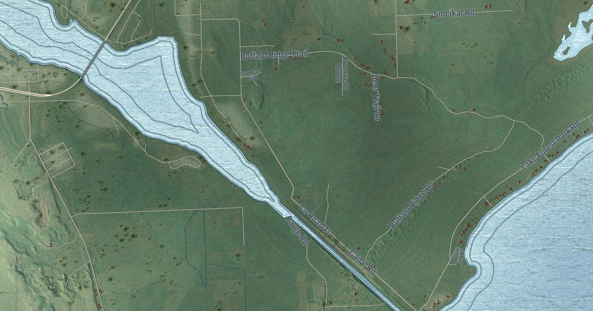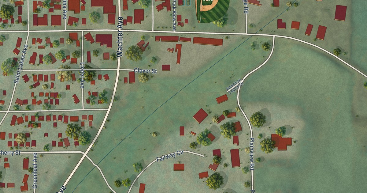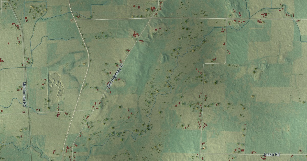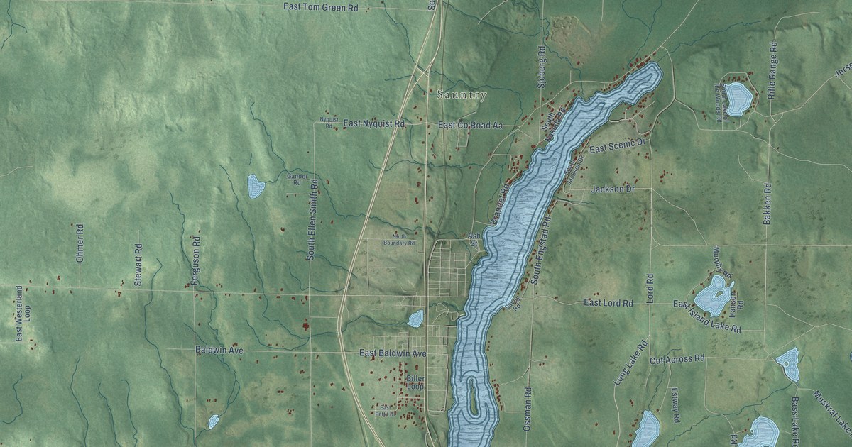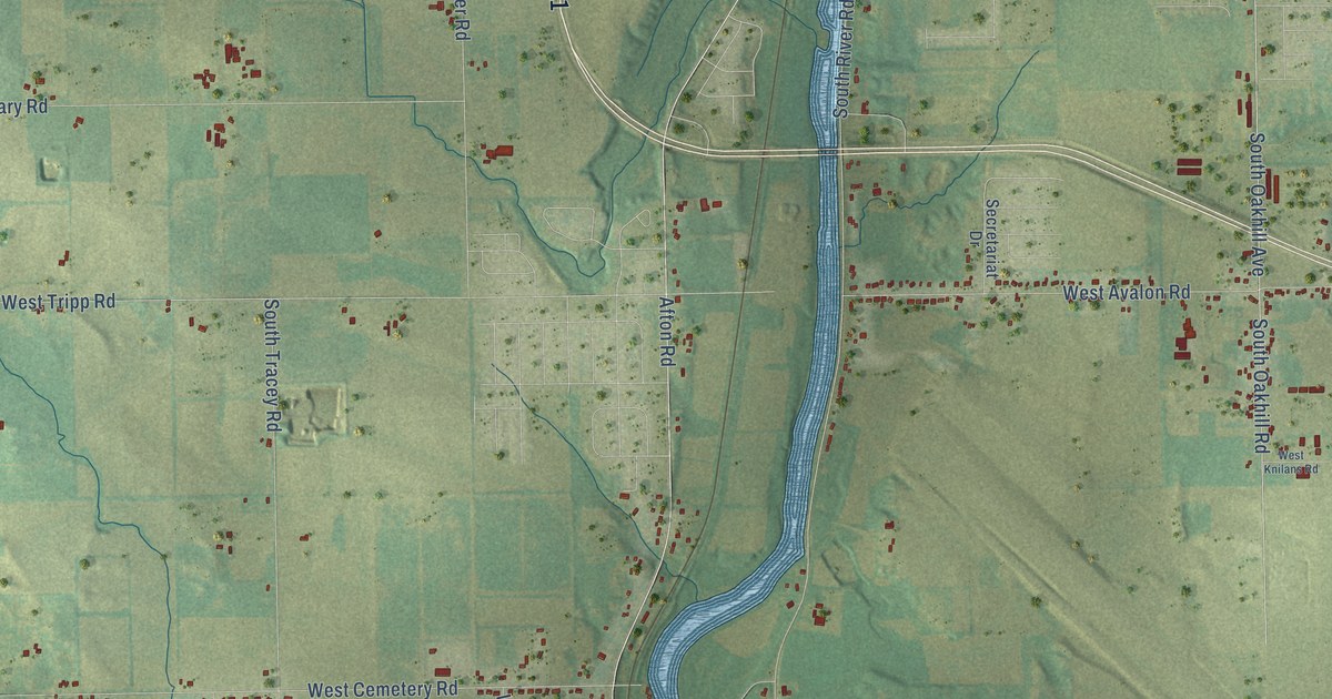
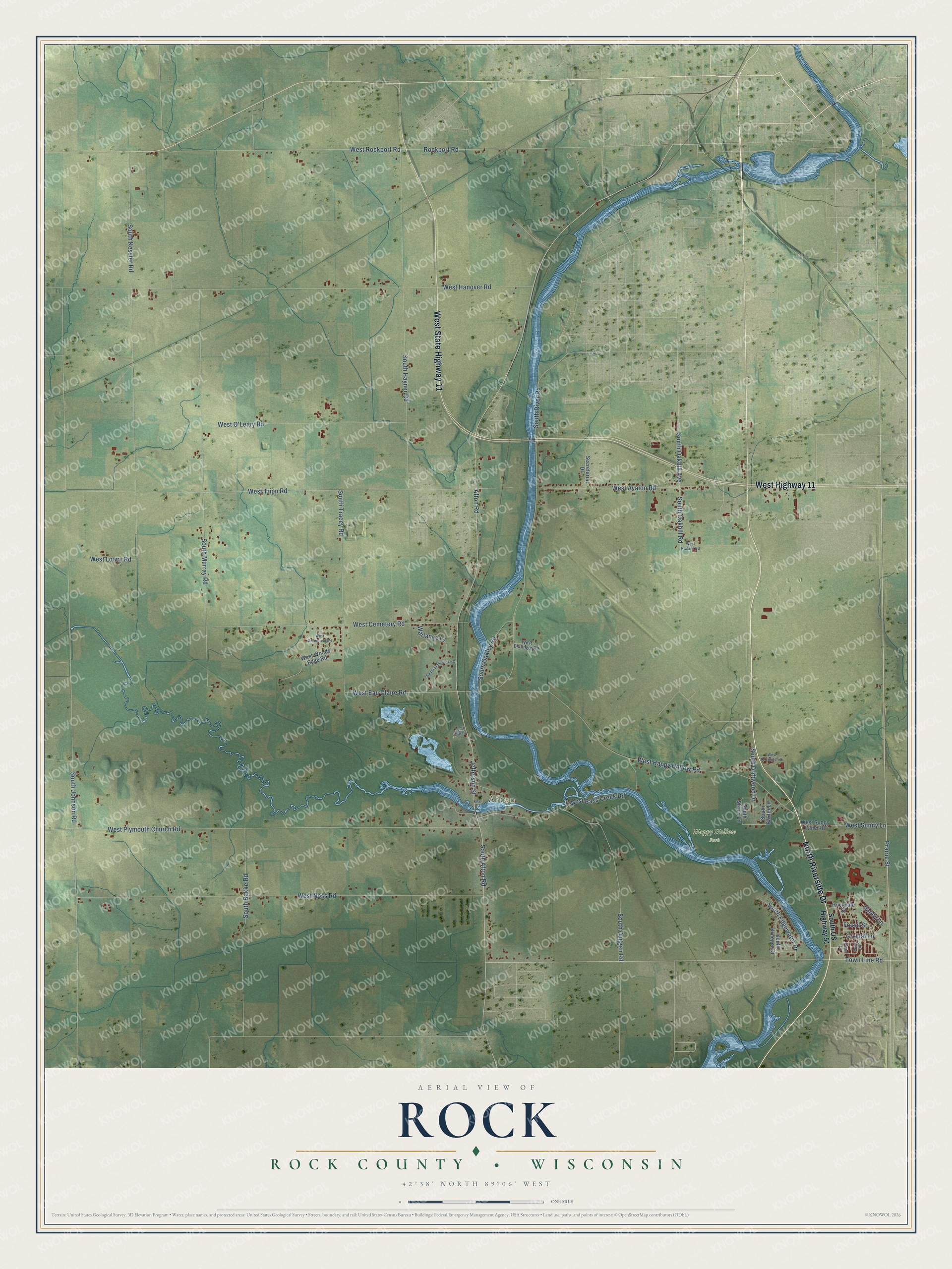
This beautifully detailed map of Rock, Wisconsin was created in 2026 using aerial imagery combined with modern topographical, census, street and landmark data. It's a modern aerial view of Rock in Rock County, Wisconsin, that combines modern data with a vintage aesthetic. The roads feature printed names, and if you look closely you can find your exact house accurately shown in its correct location.
Explore an aerial view of Rock, Wisconsin
On this map you'll find Afton, Happy Hollow Park, West State Highway 11, North Riverside Drive, West Highway 11, Prairie Street, Town Line Road, Afton Road, South Afton Road, West Eau Claire Road, West Sunny Lane, West Tripp Road, and more. Each red shape is a building, so zoom in on the preview and look for yours.
Every town has a first chapter, and Rock is no exception. The Rock County History puts it this way: "The first wedding in the town of Rock took pLace at the house of Richard Inman, March 30, 1840."
Rock is a town in Rock County. The Census Bureau counted 2,981 people here in 2020.
Take a closer look at the Rock map
Names on this map
These names are printed on this map.
Places: Afton and Happy Hollow Park.
Streets and roads: West State Highway 11, North Riverside Drive, West Highway 11, Prairie Street, Town Line Road, Afton Road, South Afton Road, West Eau Claire Road, West Sunny Lane, West Tripp Road, West Rockport Road, West Hanover Road.
More street names, A to Z
Crystal Lane, First Street, Fossil Street, Jefferson Street, Pearl Lane, Rockport Road, Rockvale Court, Ruby Lane, Sandy Lane, Secretariat Drive, South Bakke Road, South Baxter Lane, South Driftwood Drive, South Duggan Road, South Edgewater Drive, South Hayner Road, South Indian Lake Drive, South Johnson Road, South Kessler Road, South Krueger Drive, South Murray Road, South Oakhill Avenue, South Oakhill Road, South Oakley Road, South Pitt Road, South River Road, South Shady Lane, South Tracey Road, South US Highway 51, Warlance Lane, West Avalon Road, West Bass Creek Road, West Cemetery Road, West Ehrlinger Road, West Greenfield Road, West Happy Hollow Road, West Knilans Road, West Lowry Road, West Noss Road, West O'Leary Road, West Plymouth Church Road, West Sunny Lane Road, West Terrington Drive, West Woods Edge Road.
Created by KNOWOL in 2026. The buildings are small red shapes, the roads carry their printed names, and shaded relief shows the shape of the land. The title panel reads "AERIAL VIEW OF ROCK, ROCK COUNTY • WISCONSIN" with 42°38' NORTH 89°06' WEST.
Hang it in the hallway, the office or the cabin, or give it to someone who left Rock and still calls it home. Open the preview and look for a street you know. See sizes and frames for the Rock, Rock County map.