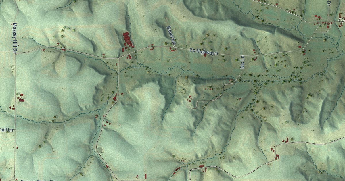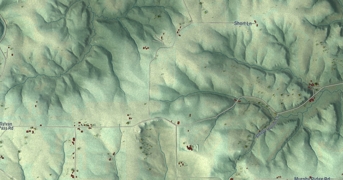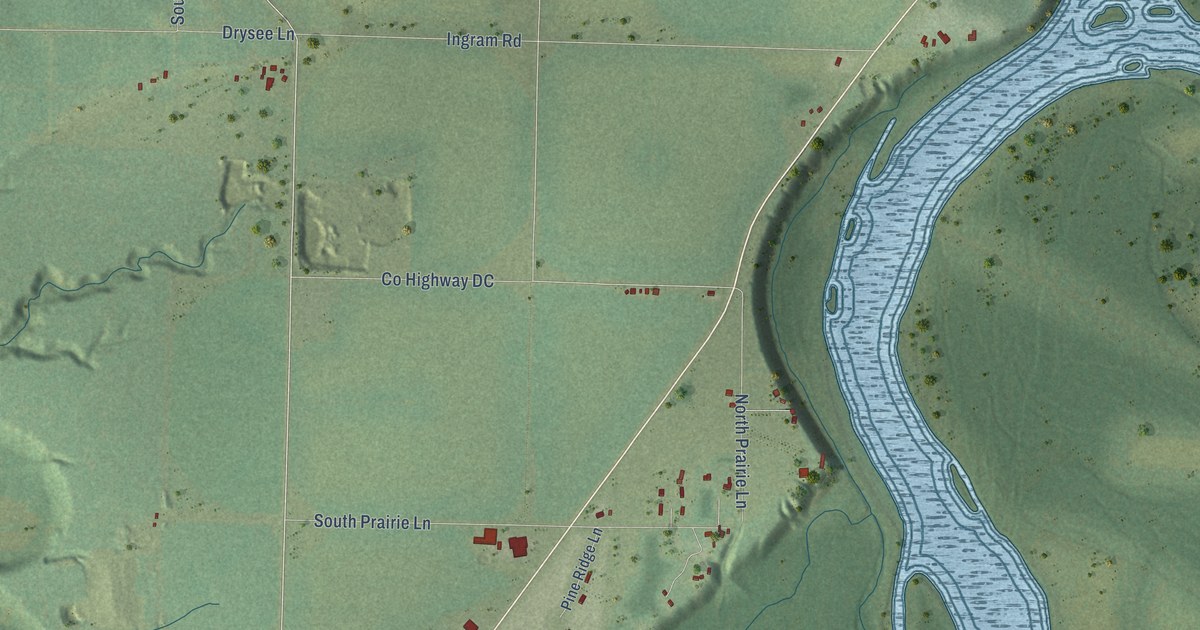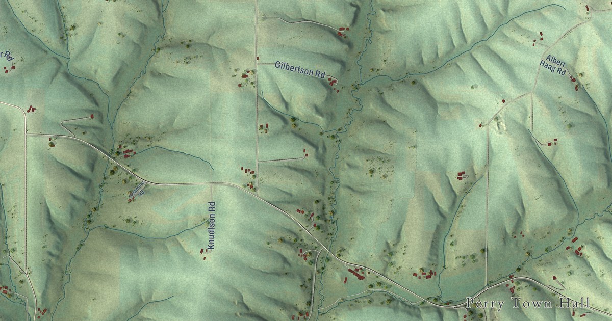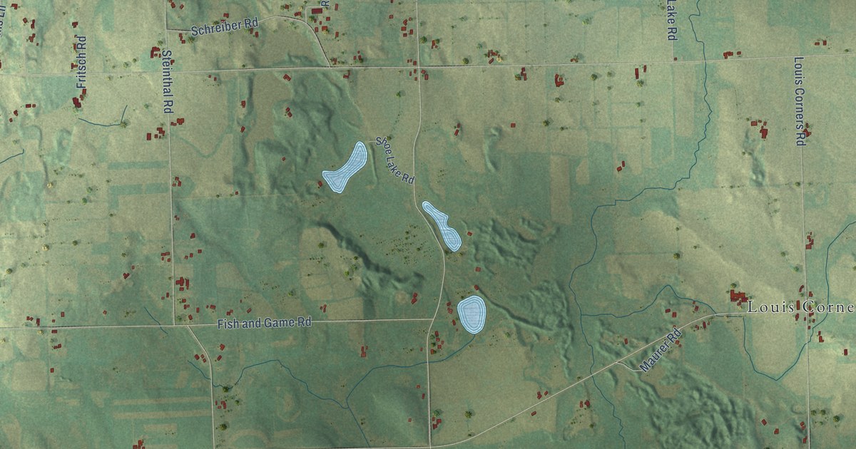
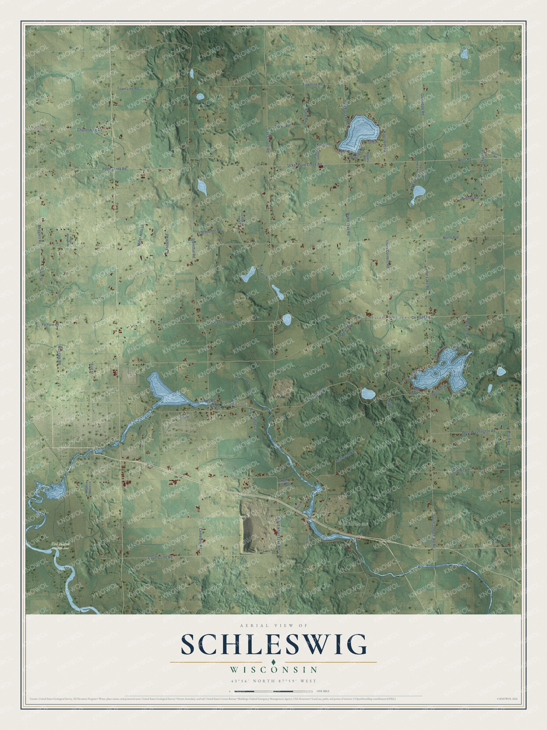
This beautifully detailed map of Schleswig, Wisconsin was created in 2026 using aerial imagery combined with modern topographical, census, street and landmark data. It's a modern aerial view of Schleswig in Manitowoc County, Wisconsin, that combines modern data with a vintage aesthetic. The roads feature printed names, and if you look closely you can find your exact house accurately shown in its correct location.
Explore an aerial view of Schleswig, Wisconsin
On this map you'll find Meggers, Millhome, Kiel Marsh Wildlife Area, Louis Corners, Rockville, Rockville Road, South Cedar Lake Road, Sixth Street, Meggers Road, Meggars Road, County Line Road, Point Creek Road, and more. Each red shape is a building, so zoom in on the preview and look for yours.
Every town has a first chapter, and Schleswig is no exception. The History of Northern Wisconsin puts it this way: "In the same year, D. Able located within the present limits of the town of Schleswig, and the villages of Kiel, Rockville and Millhome sprung up."
Schleswig is a town in Manitowoc County. The Census Bureau counted 1,912 people here in 2020.
Take a closer look at the Schleswig map
Names on this map
These names are printed on this map.
Places: Meggers, Millhome, Kiel Marsh Wildlife Area, Louis Corners and Rockville.
Streets and roads: Rockville Road, South Cedar Lake Road, Sixth Street, Meggers Road, Meggars Road, County Line Road, Point Creek Road, Little Elkhart Lake Road, Lax Chapel Road, North Avenue, County Road Xx, Ucker Point Creek Road.
More street names, A to Z
Acorn Road, Alto Robles Lane, Badger Meadows Road, Cedar Lake Road, Cedar Terrace Lane, Cemetery Road, Charlesburg Road, Clay Street, Drews Road, First Street, Fish and Game Road, Fountain Park Lane, Fritsch Road, Fur Farm Road, Glen Flora Road, Greendale Road, Hennings Road, Karstaedt Road, Keller Lane, Kunish Lane, Lake Ridge Court, Louis Corners Road, Main Street, Maratic Lane, Matznick Road, Maurer Road, Meadow Wood Lane, Miller Hills Lane, Millhome Lane, Mueller Road, Mulberry Lane, Point Road, Rabe Road, Rautmann Road, Reichardt Road, River Hills Way, River Ridge Lane, Rokilio Road, Ruh Road, Schad Road, Schreiber Road, Shoe Lake Road, Split Rail Road, Steinthal Road, Sunny Vista Lane, Sy Lake Lane, Sy Lake Road, Town Line Road, Townline Road, Twin Bay Lane, Vogel Lane, Wagner Road, West Washington Road, Wilke Lake Road, Woodside Lane.
Created by KNOWOL in 2026. The buildings are small red shapes, the roads carry their printed names, and shaded relief shows the shape of the land. The title panel reads "AERIAL VIEW OF SCHLESWIG, WISCONSIN" with 43°56' NORTH 87°59' WEST.
Hang it in the hallway, the office or the cabin, or give it to someone who left Schleswig and still calls it home. Open the preview and look for a street you know. See sizes and frames for the Schleswig map.