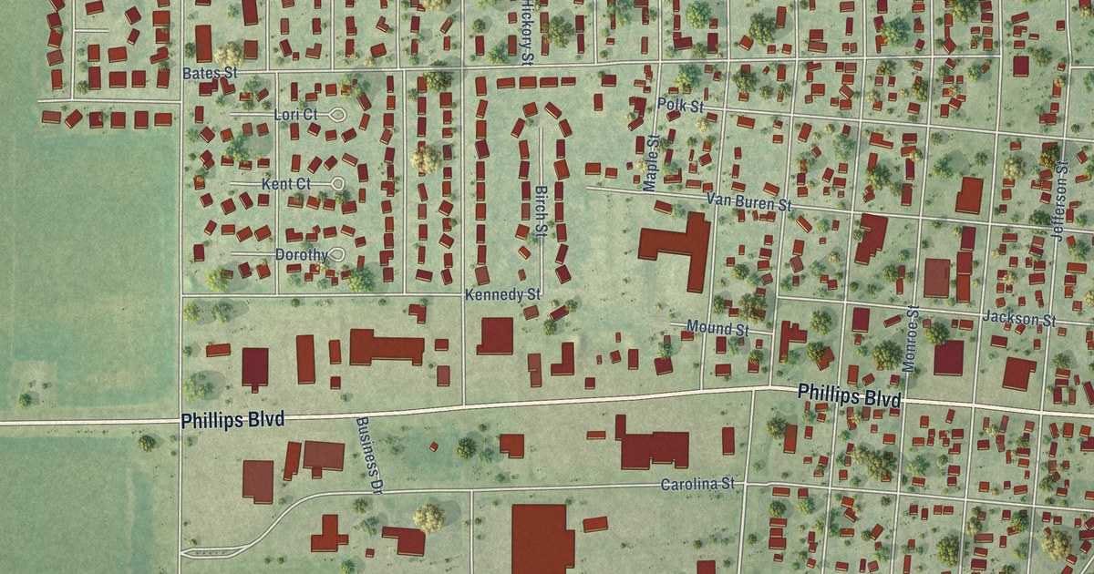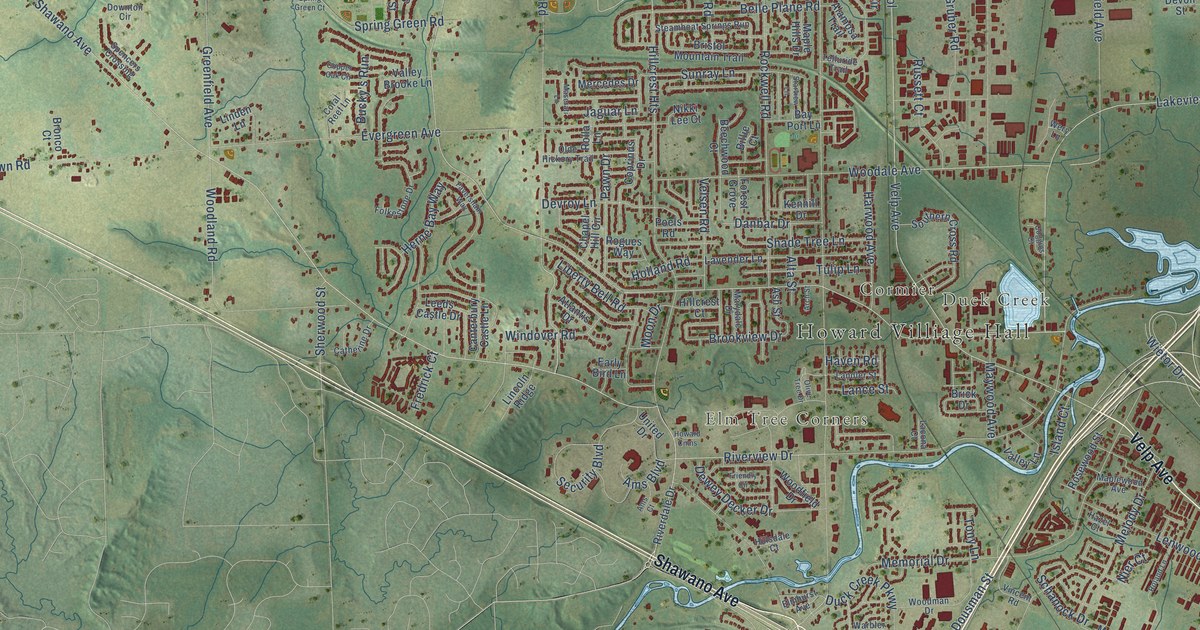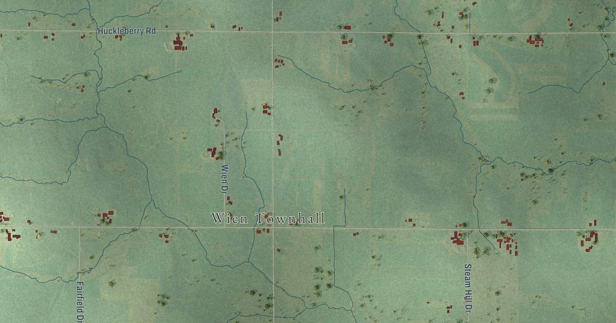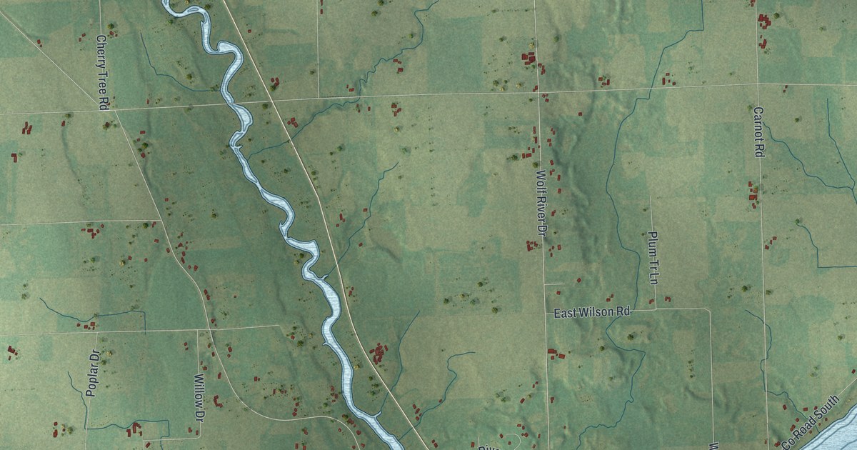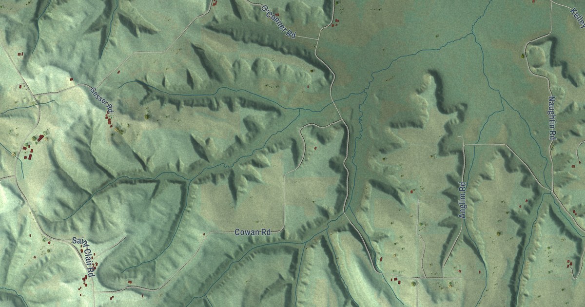
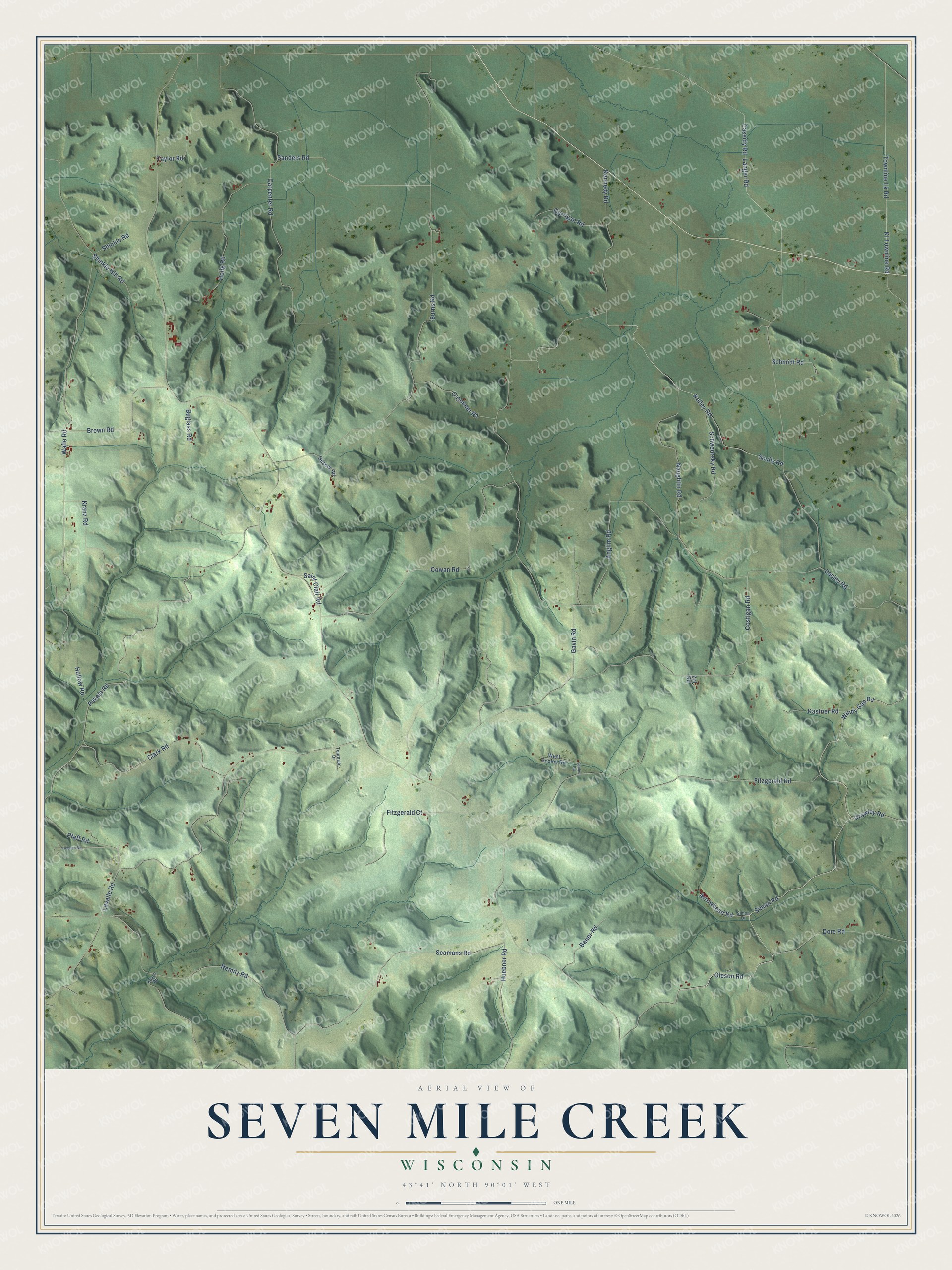
This beautifully detailed map of Seven Mile Creek, Wisconsin was created in 2026 using aerial imagery combined with modern topographical, census, street and landmark data. It's a modern aerial view of Seven Mile Creek in Juneau County, Wisconsin, that combines modern data with a vintage aesthetic. The roads feature printed names, and if you look closely you can find your exact house accurately shown in its correct location.
Explore an aerial view of Seven Mile Creek, Wisconsin
On this map you'll find Simon Road, Oleson Road, Windy Gap Road, Kennedy Road, Lavalle Road, Cassidy Road, Burns Road, Wafle Road, Pekala Road, Fitzgerald Road, Costigan Road, Scully Road, and more. Each red shape is a building, so zoom in on the preview and look for yours.
Seven Mile Creek has a story worth telling. The History of Northern Wisconsin puts it this way: "No permanent settlement was made in the town of Seven Mile Creek until 1851, although William Green made a temporary location in 1849. The only settlers in the town, as now organized, were William Taylor, Chauncey B. Strong, David Henry, Adam Stultz and Alonzo Andrews."
Seven Mile Creek is a town in Juneau County. The Census Bureau counted 348 people here in 2020.
Take a closer look at the Seven Mile Creek map
Names on this map
These names are printed on this map.
Streets and roads: Simon Road, Oleson Road, Windy Gap Road, Kennedy Road, Lavalle Road, Cassidy Road, Burns Road, Wafle Road, Pekala Road, Fitzgerald Road, Costigan Road, Scully Road.
More street names, A to Z
Anglim Road, Arrowhead Road, Bauer Road, Brown Road, Buglass Road, Carpenter Road, Cauley Road, Clark Road, Cowan Road, Crowley Road, Dore Road, Fitzgerald Court, Garrigan Road, Gavin Road, Gesser Road, Heenan Road, Holig Road, Hollow Road, Huebner Road, Kastner Road, Kelley Road, Kl Townline Road, Kosch Road, Kranz Road, Langer Road, Naughtin Road, Nemitz Road, O'Conner Road, Pfaff Road, Saint Clair Road, Sanders Road, Schmidt Road, Schwedrsky Road, Scoles Road, Seamans Road, Shinkle Hill Road, Shinkle Road, Simon Drive, Taylor Road, Tournado Drive, Townline Lk Road, West Scoles Road, Zol Road.
Created by KNOWOL in 2026. The buildings are small red shapes, the roads carry their printed names, and shaded relief shows the shape of the land. The title panel reads "AERIAL VIEW OF SEVEN MILE CREEK, WISCONSIN" with 43°41' NORTH 90°01' WEST.
It looks right in a kitchen, an office or a den, and it's a gift for anyone who grew up in Seven Mile Creek or moved away. Open the preview and find your street. See sizes and frames for the Seven Mile Creek map.