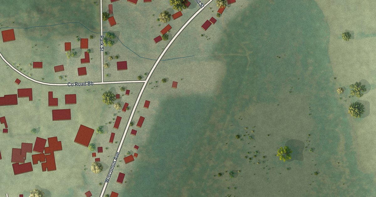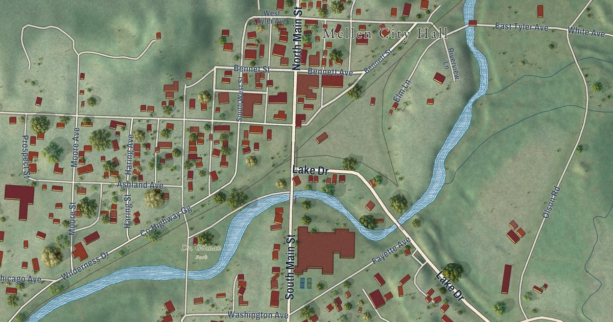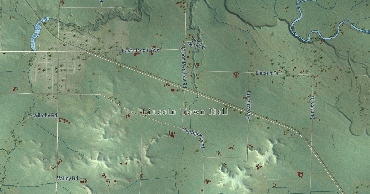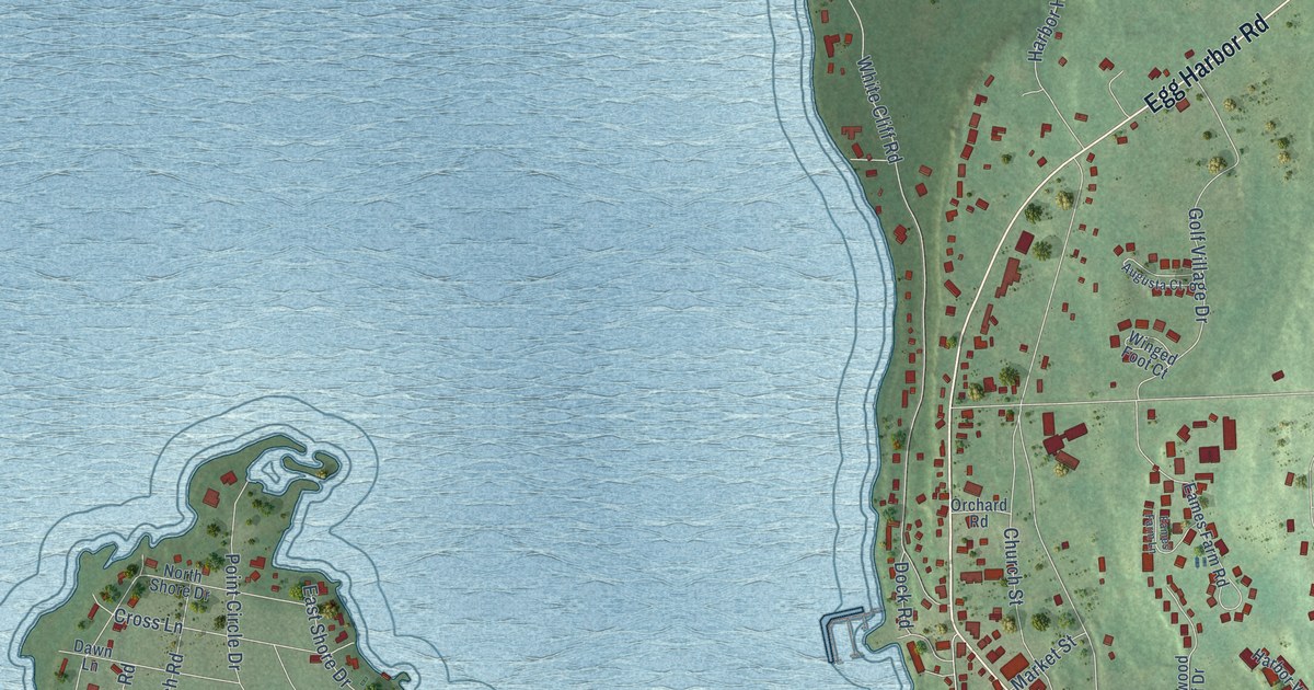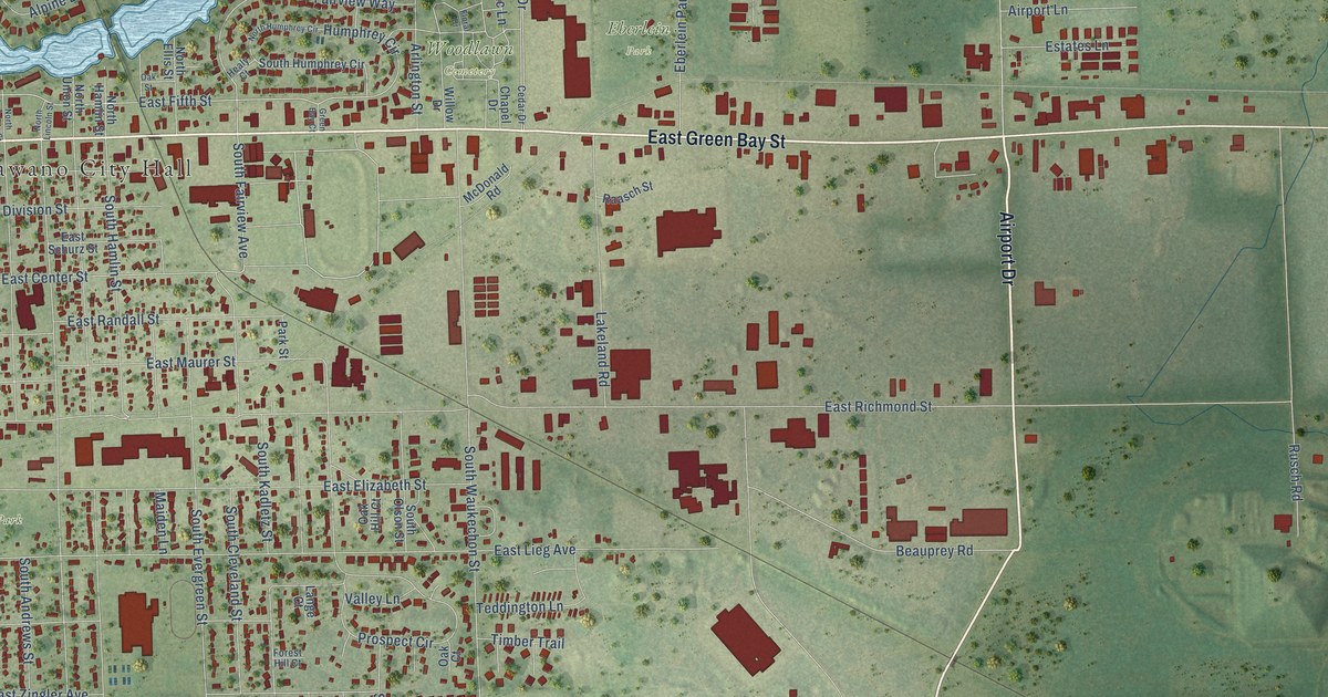
This beautifully detailed map of Shawano, Wisconsin was created in 2026 using aerial imagery combined with modern topographical, census, street and landmark data. It's a modern aerial view of Shawano in Shawano County, Wisconsin, that combines modern data with a vintage aesthetic. The roads feature printed names, and if you look closely you can find your exact house accurately shown in its correct location.
Explore an aerial view of Shawano, Wisconsin
On this map you'll find Shawano City Hall, Eberlein Park, Memorial Park, Woodlawn Cemetery, Brener Woods, Lieg Park, North Main Street, West Green Bay Street, Pit Road, Main Street, Airport Drive, East Green Bay Street, and more. Each red shape is a building, so zoom in on the preview and look for yours.
Here is a piece of Shawano history, in the words of the record. The Shawano County Centennial puts it this way: "The first services within recollection for the Methodist church, the first Protestant church to hold services in Shawano, were held in a schoolhouse north of Shawano in 1865 by a Mr. Sabins. The Rev. Colburn became the first appointed minister in 1866."
Shawano is a city in Shawano County. The Census Bureau counted 9,243 people here in 2020.
Take a closer look at the Shawano map

Names on this map
These names are printed on this map.
Places: Shawano City Hall, Eberlein Park, Memorial Park, Woodlawn Cemetery, Brener Woods and Lieg Park.
Streets and roads: North Main Street, West Green Bay Street, Pit Road, Main Street, Airport Drive, East Green Bay Street, South Main Street, West River Heights, East Fifth Street, West Fifth Street, South Waukechon Street, South Fairview Avenue.
More street names, A to Z
Airport Lane, Airport Road, Alpine Court, Alpine Drive, Alpine Terrace, Arlington Street, Bay Lakes Road, Beauprey Road, Birch Hill Lane, Briarwood Lane, Cedar Drive, Channel Trce, Chapel Drive, County Road Hhh, County Road Mmm, Dallman Lane, East Center Street, East Division Street, East Elizabeth Street, East Lieg Avenue, East Maurer Street, East Randall Street, East Richmond Street, East Ridlington Avenue, East Robin Lane, East Schurz Street, East Stevens Avenue, East Zingler Avenue, Eberlein Park Drive, Engel Drive, Estates Lane, Fairview Way, Floral Drive, Forest Hill Court, Green Bay Court, Healy Court, Highview Avenue, Hillside Lane, Hotz Court, Humphrey Circle, Hunter Street, Industrial Drive, Jaycee Court, Jesse Court, Kleeman Court, Lakeland Road, Lange Court, Lee Court, Lilac Lane, Madison Way, Maiden Lane, McDonald Road, Mills Street, Mill Street, North Andrews Street, North Bartlett Street, North Ellis Street, North Franklin Street, North Hamlin Street, North Humphrey Circle, North Lincoln Street, Northridge Drive, North Sawyer Street, North Smalley Street, North Union Street, North Washington Street, North Wolf River Avenue, Oak Court, Oak Hill Court, Oak Park Drive, Oak Street, Old Lake Road, Park Street, Pearl Avenue, Plank Road, Prospect Circle, Raasch Street, River Heights, River Pine Drive, Riverside Drive, Robin Lane, Rusch Road, School Court, Schrader Avenue, South Andrews Street, South Bartlett Street, South Cleveland Street, South Evergreen Street, South Franklin Street, South Hamlin Street, South Humphrey Circle, South Kadletz Street, South Lafayette Street, South Lincoln Street, South Lutz Street, South Olson Street, South Park Street, South Prospect Street, South River Street, South Sawyer Street, South Smalley Street, South Union Street, South Washington Street, South Water Street, South Weed Street, Sunrise Lane, Sunset Avenue, Teddington Lane, Thomas Avenue, Timber Trail, Tristan Drive, Valley Lane, West Danks Street, West Division Street, West Eagle Street, West First Street, West Fourth Street, West Hill Street, West Lieg Avenue, West Oshkosh Street, West Picnic Street, West Pine Street, West Prairie Street, West Richmond Street, West Second Street, West Stevens Avenue, West Swan Street, West Third Street, West Wescott Avenue, Willow Drive, Willow Wood, Woodlawn Drive.
Created by KNOWOL in 2026. The buildings are small red shapes, the roads carry their printed names, and shaded relief shows the shape of the land. The title panel reads "AERIAL VIEW OF SHAWANO, WISCONSIN" with 44°47' NORTH 88°36' WEST.
It suits a den, a classroom or a front hall, and it makes a gift for anyone with Shawano roots. Open the preview and find the block you know. See sizes and frames for the Shawano map.