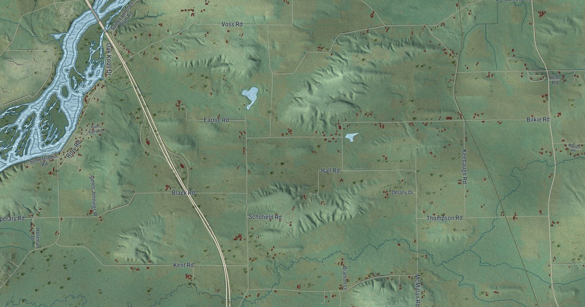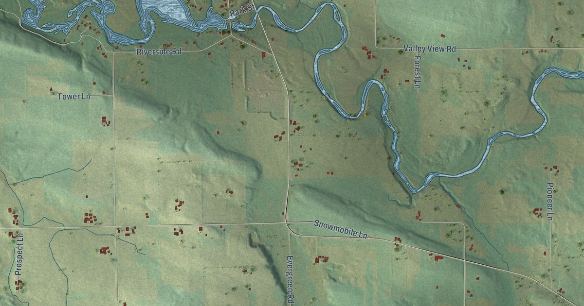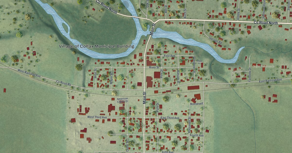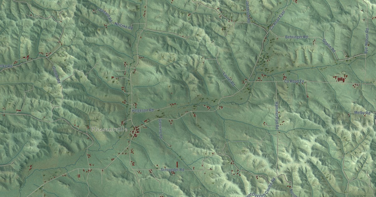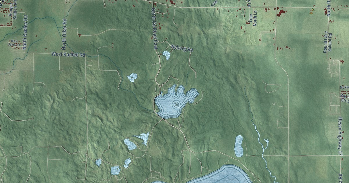
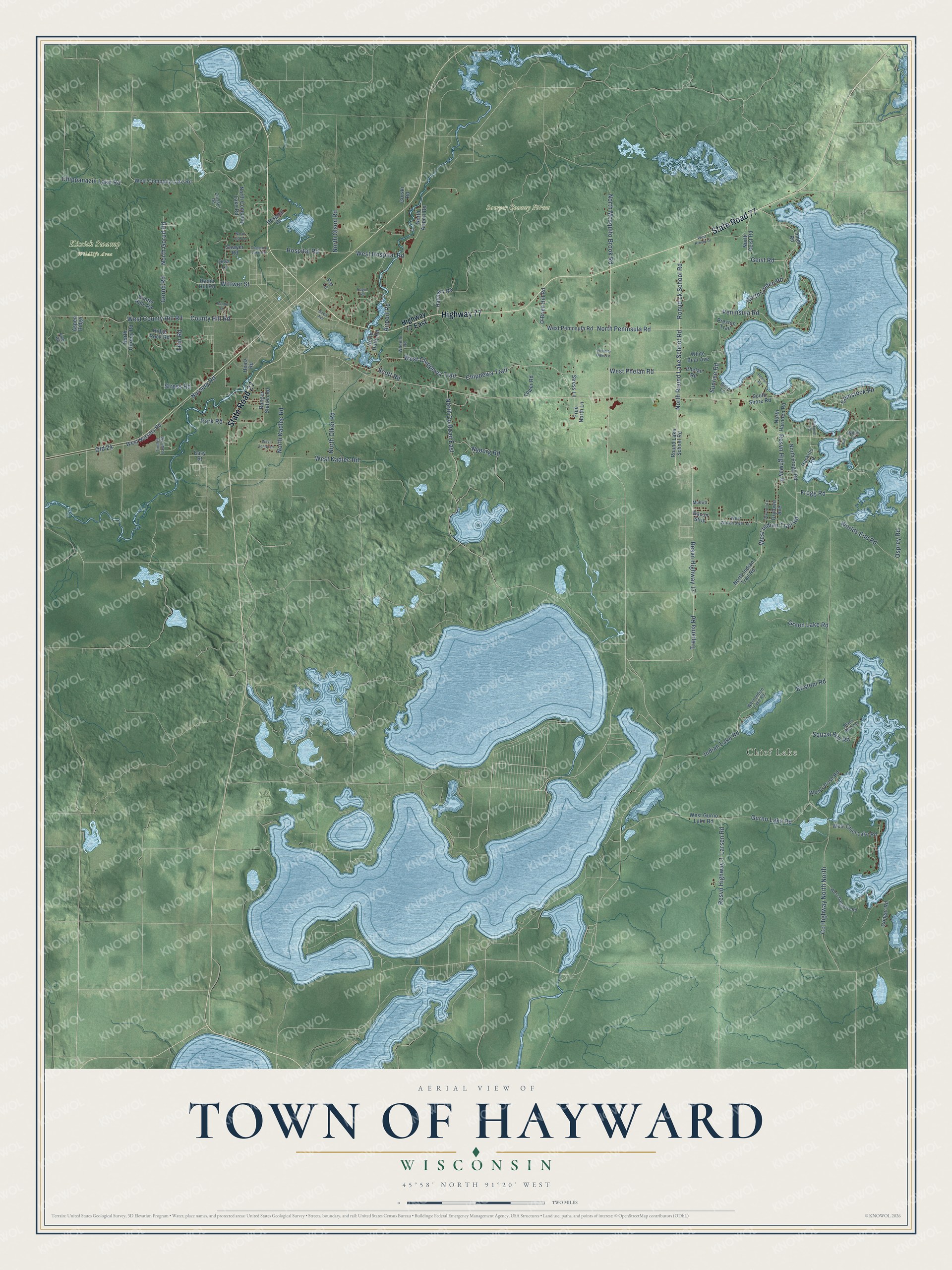
This beautifully detailed map of Hayward, Wisconsin was created in 2026 using aerial imagery combined with modern topographical, census, street and landmark data. It's a modern aerial view of Hayward in Sawyer County, Wisconsin, that combines modern data with a vintage aesthetic. The roads feature printed names, and if you look closely you can find your exact house accurately shown in its correct location.
Explore an aerial view of Hayward, Wisconsin
On this map you'll find Chief Lake, Kissick Swamp Wildlife Area, Sawyer County Forest, State Road 77, Highway 77, State Road 27, Ronud Lk School Road, Resvn Highway 17, Frogg Road, West Indian Trail Road, West Phelan Road, Old 24, and more. Each red shape is a building, so zoom in on the preview and look for yours.
Hayward is a town in Sawyer County. The Census Bureau counted 3,765 people here in 2020. The map prints the town name in its title panel, with the coordinates below it.
Take a closer look at the Hayward map
Names on this map
These names are printed on this map.
Places: Chief Lake, Kissick Swamp Wildlife Area and Sawyer County Forest.
Streets and roads: State Road 77, Highway 77, State Road 27, Ronud Lk School Road, Resvn Highway 17, Frogg Road, West Indian Trail Road, West Phelan Road, Old 24, North Linden Road, Nursery Road, North Round Lake School Road.
More street names, A to Z
Airport Road, Aspen Ridge, Bacon Strip, Birch Lane, Black Bear Lane, Bostoni Road, Chippanazie Lake Road, Chippewa Trail, Company Lake Road, Comstock Road, Conger Road, County Highway North North, County Hill Road, Davis Avenue, Deer Lane, Drytown Avenue, Drytown Lane, Easy Street, Geist Road, Gorski Road, Gorud Road, Green Lake Road, Gurno Lake Road, Haskins Road, Hatchery Road, Heinz Road, Highway 77 East, Hospital Drive, Hospital Road, Hunter Hills Road, Indian Lake Road, Kagon Road, Larsen Road, Lein Road, Linden Road, Mukwa, North Airport Road, North Company Lake Road, North County Road East, North Duffy Road, North Frogg Road, North Geist Road, North Gorney Road, North Gorud Road, North Harnden Road, North Indian Trail Road, North Kadlec Road, North Mosquito Brook Road, North Olker Road, North Olson Road, North Peninsula Road, North Star Lane, Nyberg Road, O'Brien Hill Road, Osprey Road, Park Road, Par Lane, Pearson Road, Peninsula Road, Phelan Road, Pike Road, Poppe Drive, Preston Trail, Radio Hill Road, Ranger Station Road, Resvn Highway 3, Resvn Highway 6, Ridge Rock Road, Round Lake School Road, Sawyer Road, Schmidt Road, Scott Road, Serenity Oaks Lane, South Shore Road, Stress Lane, Stress Road, Sunrise Road, Timber Lawn Road, Tower Road, Trepania Road, True North Lane, Valien Avenue, West Chief Lake Road, West Chippewa Trail, West Company Lake Road, West County Hill Road, West Daggetts Road, West Gurno Lake Road, West Hospital Road, West Indian Lake Road, West Jenny Lane, West Kadlec Road, West Kreyer Drive, West Larush Road, West Nursery Road, West Peninsula Road, West Watertower Lane, Wheeler Road, White Bear Avenue, Wiley Road, Wittwer Street, Worlds End Road, Zulaski Road.
Created by KNOWOL in 2026. The buildings are small red shapes, the roads carry their printed names, and shaded relief shows the shape of the land. The title panel reads "AERIAL VIEW OF TOWN OF HAYWARD, WISCONSIN" with 45°58' NORTH 91°20' WEST.
Hang it in the hallway, the office or the cabin, or give it to someone who left Hayward and still calls it home. Open the preview and look for a street you know. See sizes and frames for the Town of Hayward map.