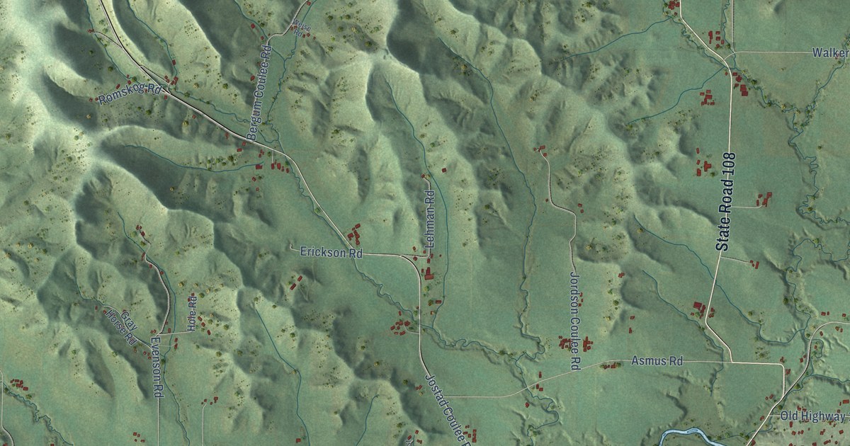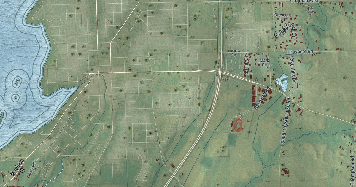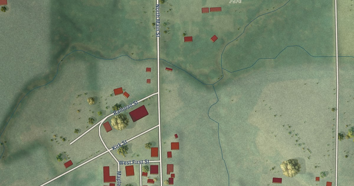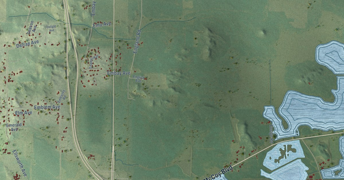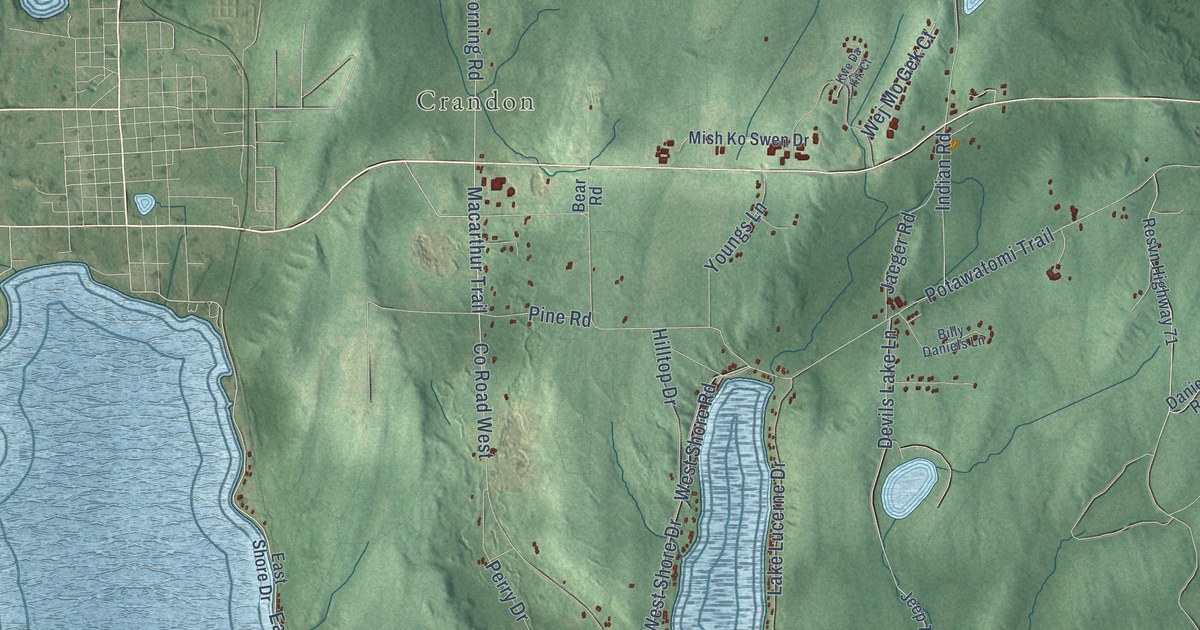
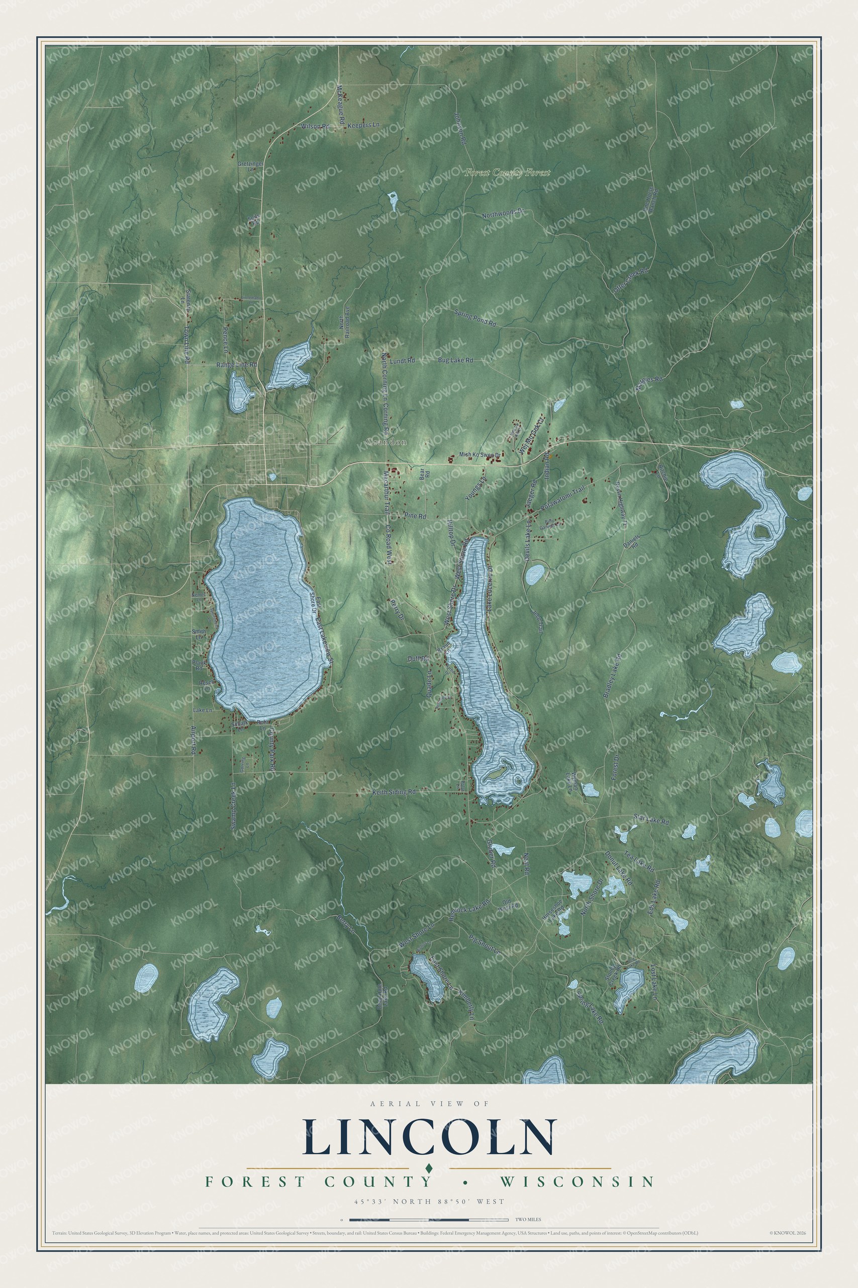
This beautifully detailed map of Lincoln, Wisconsin was created in 2026 using aerial imagery combined with modern topographical, census, street and landmark data. It's a modern aerial view of Lincoln in Forest County, Wisconsin, that combines modern data with a vintage aesthetic. The roads feature printed names, and if you look closely you can find your exact house accurately shown in its correct location.
Explore an aerial view of Lincoln, Wisconsin
On this map you'll find Crandon, Forest County Forest, Range Line Road, Town Line Road, Macarthur Trail, East Lakeview Street, Corning Road, North Corning Lane, Otter Creek Road, Airport Road, Hemlock Lake Road, Forest Drive, and more. Each red shape is a building, so zoom in on the preview and look for yours.
Lincoln is a town in Forest County. The Census Bureau counted 1,133 people here in 2020. The map prints the town name in its title panel, with the coordinates below it.
Take a closer look at the Lincoln map
Names on this map
These names are printed on this map.
Places: Crandon and Forest County Forest.
Streets and roads: Range Line Road, Town Line Road, Macarthur Trail, East Lakeview Street, Corning Road, North Corning Lane, Otter Creek Road, Airport Road, Hemlock Lake Road, Forest Drive, Potawatomi Trail, Bradley Lake Road.
More street names, A to Z
Bear Road, Berry Lane, Billy Daniels Lane, Braun Lane, Bug Lake Road, County Park Road, County Road West, Daniels Road, Deep Hole Lake Road, Devils Lake Lane, Donut Lake Road, Duff Road, East Shore Drive, East Shore Lane, Eds Lake Road, Gorring Lane, Gretzinger Lane, Gruber Road, Harbor Lane, Hilltop Drive, Horseshoe Lake Road, Indian Road, Jaeger Road, Jeep Trail, Johnson Road, Keepers Lane, Keith Siding Road, Kimberly Lane, Kwe Da Kik Court, Lake Lane, Lake Lucerne Drive, Linnemann Lane, Lost Lake Lane, Lost Lake Road, Lundt Road, Margies Road, McKeague Road, Mish Ko Swen Drive, Neal Road, Nemec Lane, North Railroad Avenue, North Shore Drive, Northview Drive, Northwoods Drive, Old West Road, One Horse Ranch Road, Pence Lane, Perry Drive, Pig Snout Lane, Pine Road, Plank Road, Polar Lane, Quade Lane, Resch Lane, Resvn Highway 71, Richter Lane, Ritchie Lane, Rohr Lane, Schalk Lane, Seils Road, Smith Lane, Sportsmens Lane, Spring Lake Road, Spring Pond Road, Star Lake Road, Statenzy Lane, Stoney Creek Road, Swamp Creek Lane, Tea Lake Road, Wej Mo Gek Court, West Shore Drive, West Shore Lane, West Shore Road, Wilson Road, Wyman Lake Lane, Youngs Lane.
Created by KNOWOL in 2026. The buildings are small red shapes, the roads carry their printed names, and shaded relief shows the shape of the land. The title panel reads "AERIAL VIEW OF LINCOLN, FOREST COUNTY • WISCONSIN" with 45°33' NORTH 88°50' WEST.
It suits a den, a classroom or a front hall, and it makes a gift for anyone with Lincoln roots. Open the preview and find the block you know. See sizes and frames for the Lincoln, Forest County map.