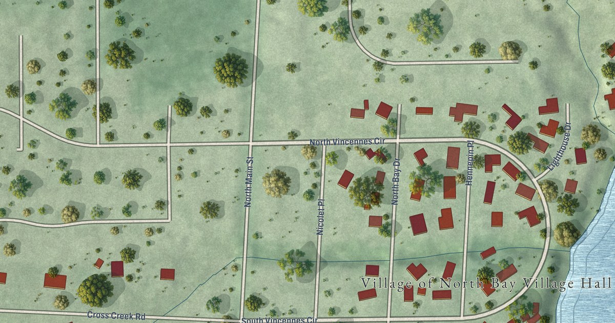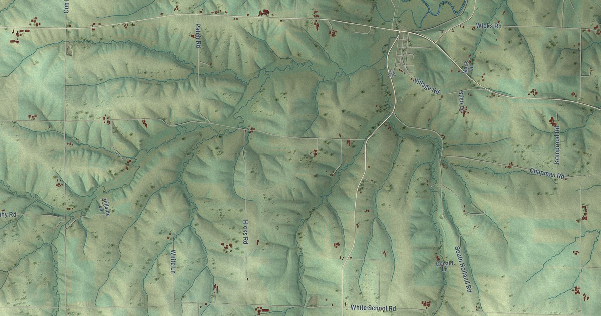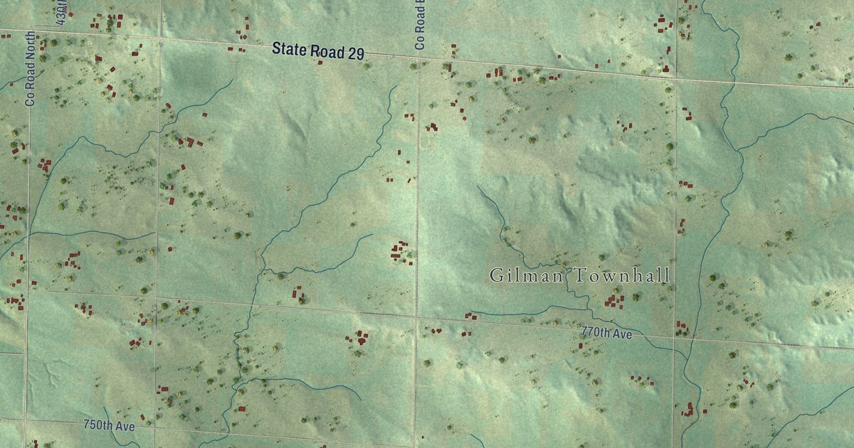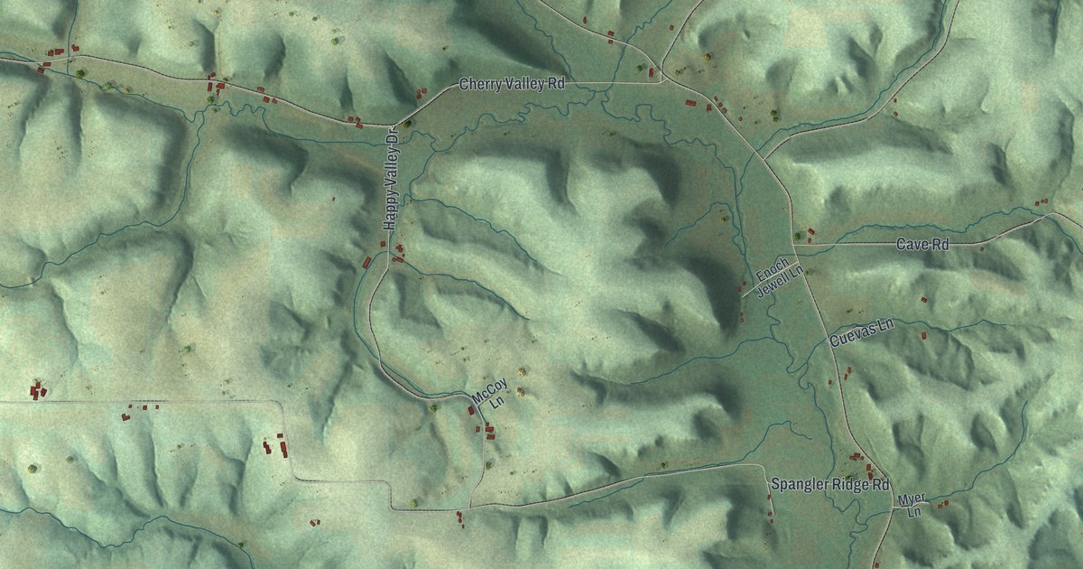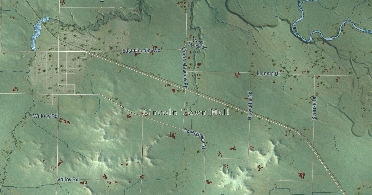
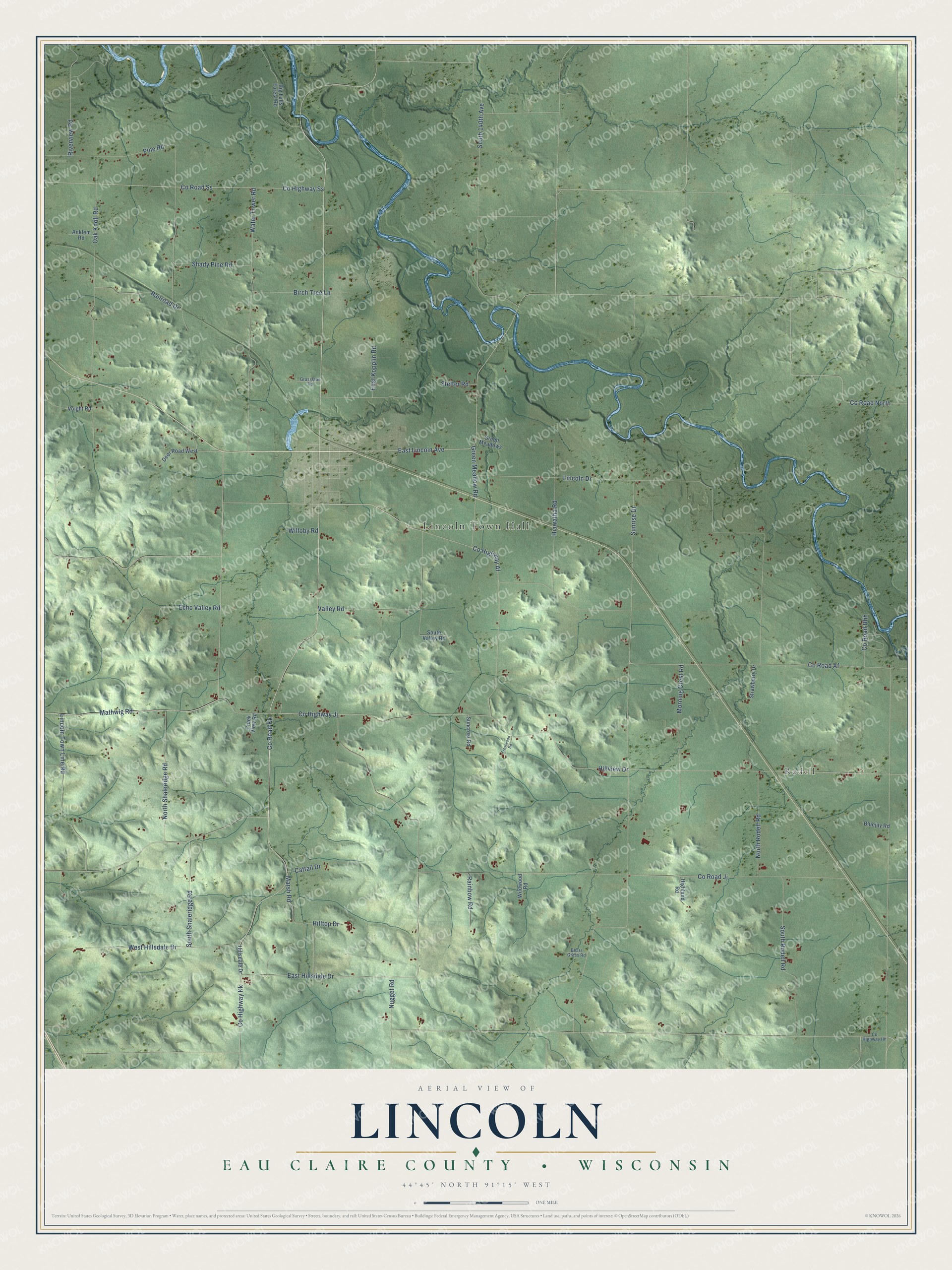
This beautifully detailed map of Lincoln, Wisconsin was created in 2026 using aerial imagery combined with modern topographical, census, street and landmark data. It's a modern aerial view of Lincoln in Eau Claire County, Wisconsin, that combines modern data with a vintage aesthetic. The roads feature printed names, and if you look closely you can find your exact house accurately shown in its correct location.
Explore an aerial view of Lincoln, Wisconsin
On this map you'll find Lincoln Town Hall, Rodell, Co Highway Af, Mathwig Road, Co Road Af, Co Road Jj, East Lincoln Avenue, Co Highway Kk, Hillview Drive, Co Highway Jj, Marsh Road, Co Road Kk, and more. Each red shape is a building, so zoom in on the preview and look for yours.
Every town has a first chapter, and Lincoln is no exception. The Eau Claire County History puts it this way: "Fall Creek remained under the government of the town of Lincoln until 1907, when it was incorporated as a separate village."
Lincoln is a town in Eau Claire County. The Census Bureau counted 1,125 people here in 2020.
Take a closer look at the Lincoln map
Names on this map
These names are printed on this map.
Places: Lincoln Town Hall and Rodell.
Streets and roads: County Highway Af, Mathwig Road, County Road Af, County Road Jj, East Lincoln Avenue, County Highway Kk, Hillview Drive, County Highway Jj, Marsh Road, County Road Kk, Lincoln Drive, Oak Knoll Road.
More street names, A to Z
Anklem Road, Bears Grass Road, Big Falls Forest Road, Birch Tree Lane, Bluejay Road, Cattail Drive, County Highway Hh, County Highway Ss, County Road Hhh, County Road North, County Road Ss, Creek View Road, Deer Road West, East Hillsdale Drive, East Kopplin Road, Echo Valley Road, Frostwood Road, Grasslane Road, Green Meadow Road, Green Meadows, Hiawatha Road, Highland Road, Hillsdale Drive, Hilltop Drive, Lincoln Town Line Road, Morning Crest Road, North Rodell Road, North Shaleridge Road, Nugget Road, Pine Road, Railroad Drive, Rainbow Road, Riverview Road, Shady Pine Road, South 140th Avenue, South Rodell Road, South Shaleridge Road, South Valley Road, Stelter Road, Strawberry Drive, Suncrest Road, Sunrise Drive, Valley Road, Voight Road, Water Tower Road, West Hillsdale Drive, Wildwood Road, Willoby Road.
Created by KNOWOL in 2026. The buildings are small red shapes, the roads carry their printed names, and shaded relief shows the shape of the land. The title panel reads "AERIAL VIEW OF LINCOLN, EAU CLAIRE COUNTY • WISCONSIN" with 44°45' NORTH 91°15' WEST.
Hang it in the hallway, the office or the cabin, or give it to someone who left Lincoln and still calls it home. Open the preview and look for a street you know. See sizes and frames for the Lincoln, Eau Claire County map.