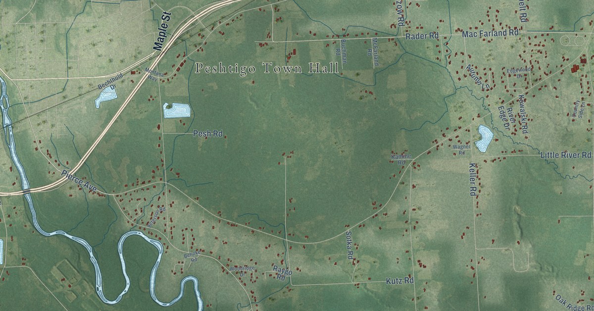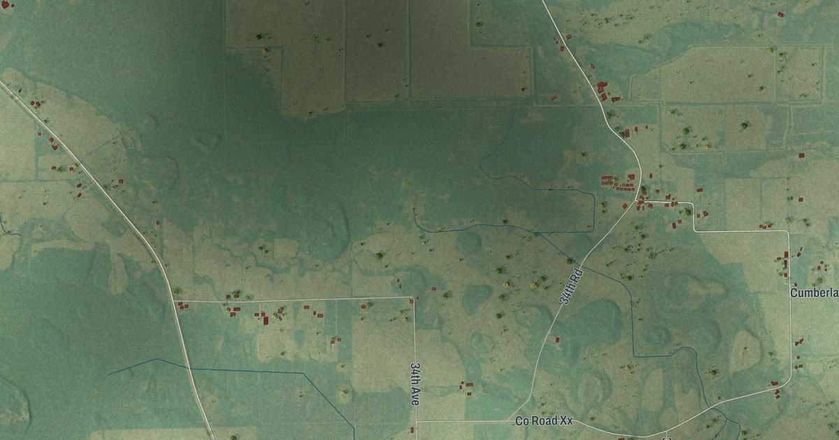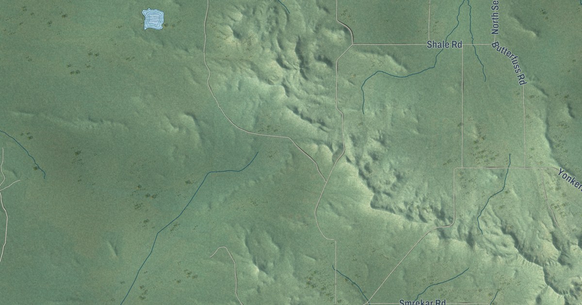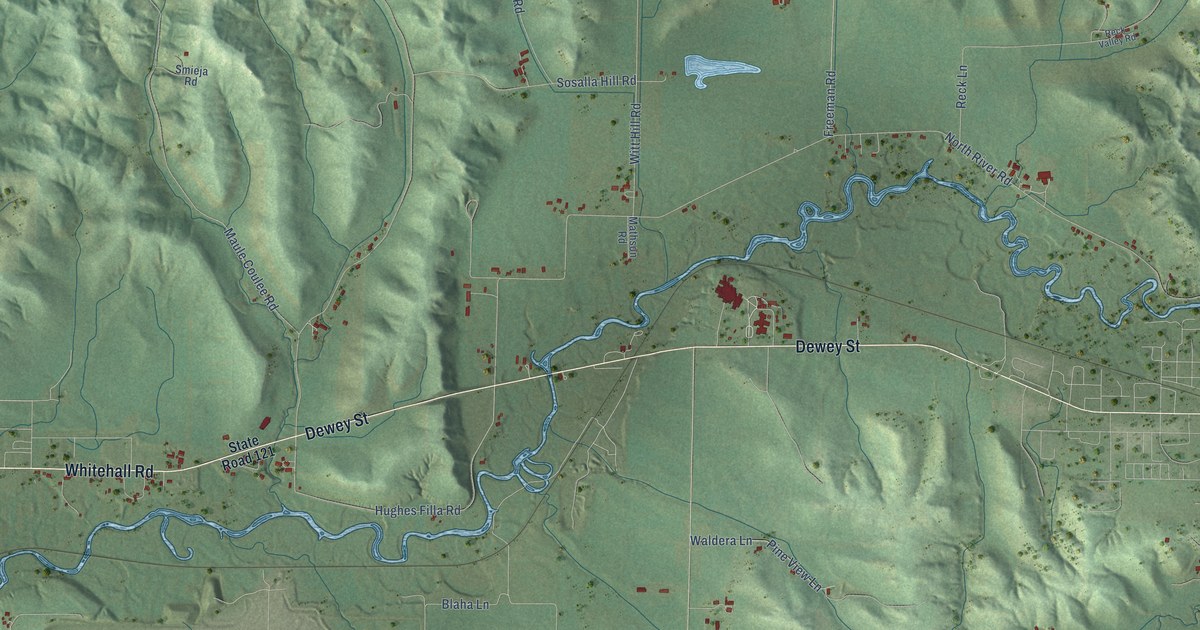
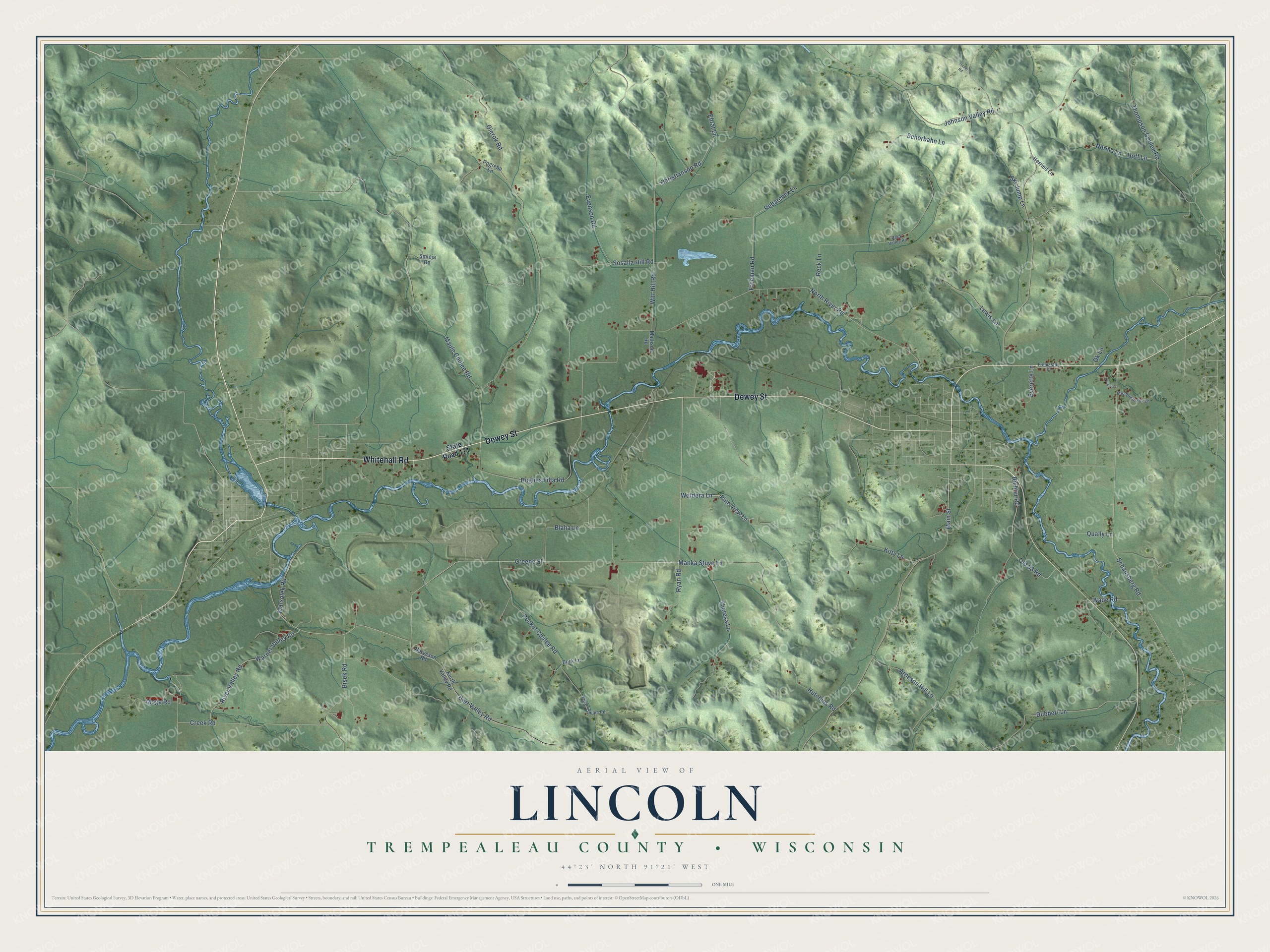
This beautifully detailed map of Lincoln, Wisconsin was created in 2026 using aerial imagery combined with modern topographical, census, street and landmark data. It's a modern aerial view of Lincoln in Trempealeau County, Wisconsin, that combines modern data with a vintage aesthetic. The roads feature printed names, and if you look closely you can find your exact house accurately shown in its correct location.
Explore an aerial view of Lincoln, Wisconsin
On this map you'll find Whitehall Road, Dewey Street, Schansberg Road, Waldera Lane, Pine View Lane, Hughes Filla Road, Greene Street, North River Road, Gierok Road, Witt Hill Road, Reck Lane, Pocker Coulee Road, and more. Each red shape is a building, so zoom in on the preview and look for yours.
Here is a piece of Lincoln history, in the words of the record. The History of Trempealeau County puts it this way: "Lincoln Township was settled in 1856 by men who came down the Trempealeau Valley from older parts of the state, men for the most part of English or New England birth."
Lincoln is a town in Trempealeau County. The Census Bureau counted 779 people here in 2020.
Take a closer look at the Lincoln map
Names on this map
These names are printed on this map.
Streets and roads: Whitehall Road, Dewey Street, Schansberg Road, Waldera Lane, Pine View Lane, Hughes Filla Road, Greene Street, North River Road, Gierok Road, Witt Hill Road, Reck Lane, Pocker Coulee Road.
More street names, A to Z
Arneson Hill Lane, Bisek Road, Blaha Lane, Bork Lane, Christianson Road, Creek Road, Curt Valley Road, Dubbert Lane, Ehrat Lane, Evenson Road, Everette Lane, Freeman Road, Fremastad Drive, Gavel Road, Herried Lane, Hoff Lane, Hutchins Road, Johnson Valley Road, Kitty Lane, Kurth Valley Road, Lewis Lane, Main Street, Manka Stuve Lane, Marsolek Road, Mathson Road, Maule Coulee Road, Meadowbrook Lane, Moga Road, Narveson Road, Norma Lane, Norse Lane, Ok Lane, Old 53 Road, Pogreba Lane, Poker Coulee Road, Qually Lane, Rebarchek Lane, Reck Valley Road, Richter Road, River Valley Road, Ryan Road, Schorbahn Lane, Ski Jump Lane, Smieja Road, Sosalla Hill Road, State Road 121, Theresa Lane, Thompson Coulee Road, Wade Road, Warner Valley Road.
Created by KNOWOL in 2026. The buildings are small red shapes, the roads carry their printed names, and shaded relief shows the shape of the land. The title panel reads "AERIAL VIEW OF LINCOLN, TREMPEALEAU COUNTY • WISCONSIN" with 44°23' NORTH 91°21' WEST.
It suits a den, a classroom or a front hall, and it makes a gift for anyone with Lincoln roots. Open the preview and find the block you know. See sizes and frames for the Lincoln, Trempealeau County map.