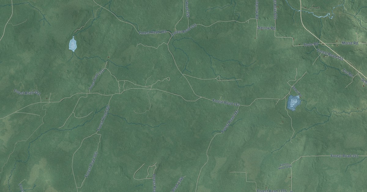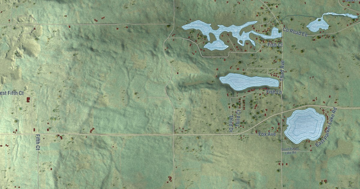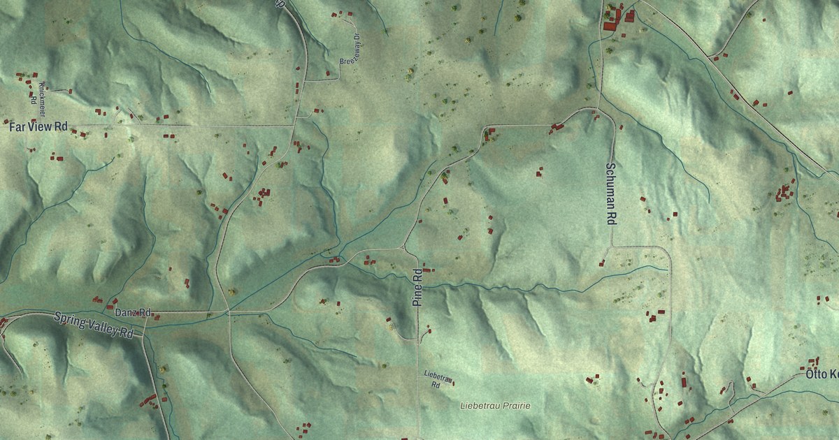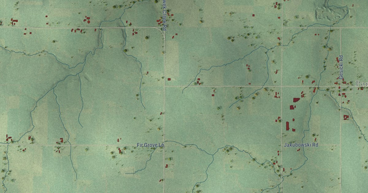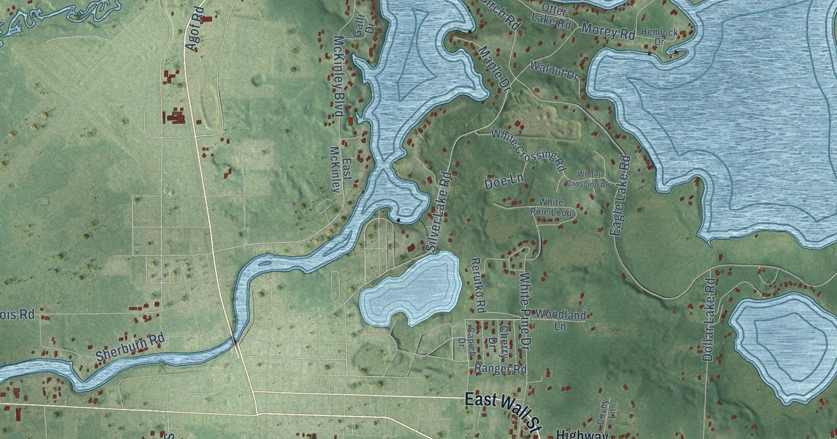
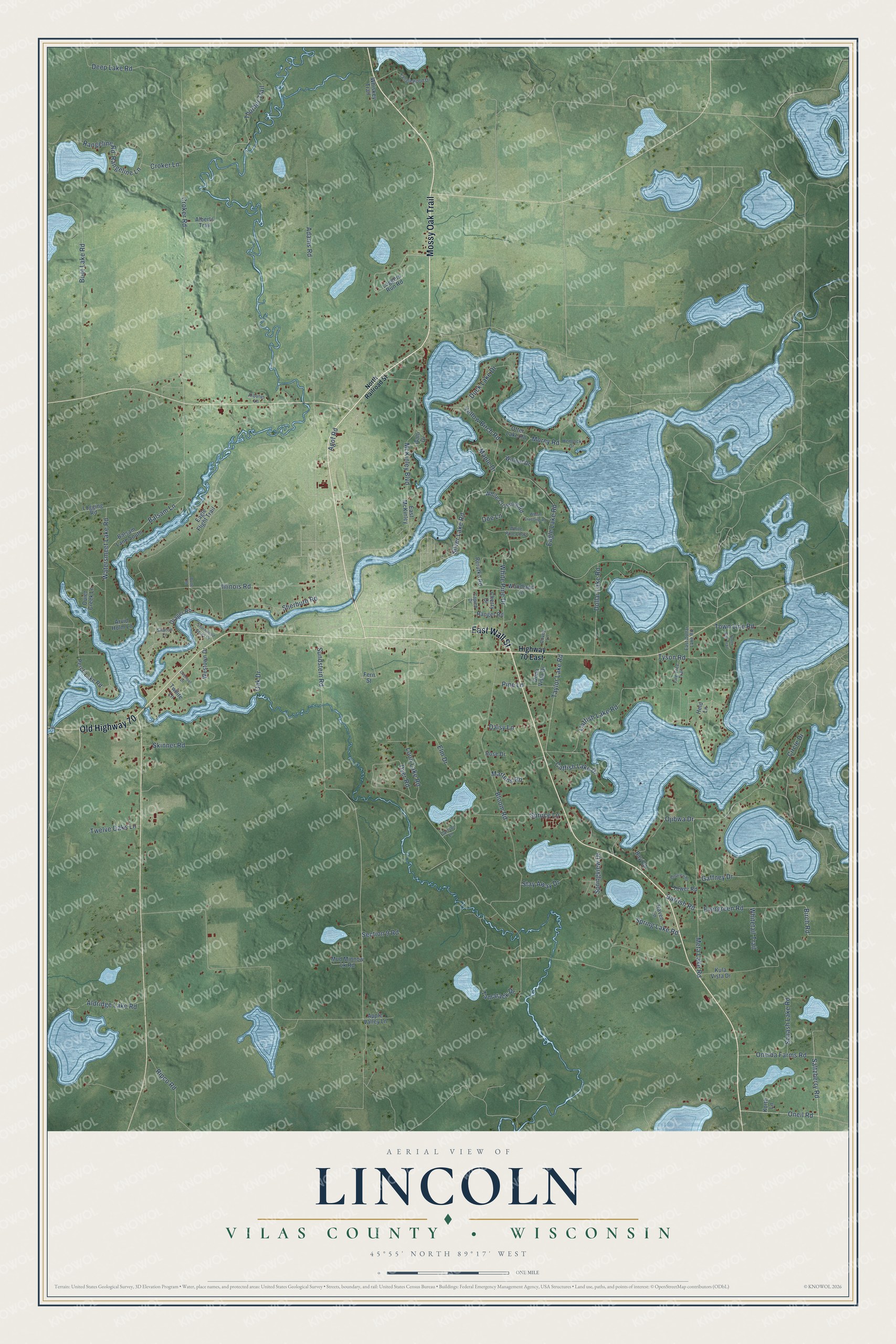
This beautifully detailed map of Lincoln, Wisconsin was created in 2026 using aerial imagery combined with modern topographical, census, street and landmark data. It's a modern aerial view of Lincoln in Vilas County, Wisconsin, that combines modern data with a vintage aesthetic. The roads feature printed names, and if you look closely you can find your exact house accurately shown in its correct location.
Explore an aerial view of Lincoln, Wisconsin
On this map you'll find East Wall Street, Mossy Oak Trail, Old Highway 70, Oneil Road, Silver Lake Road, Taylor Lake Road, Sundstein Road, Saltzberry Road, Evergreen Road, Barrish Road, Birch Road, Bloom Road, and more. Each red shape is a building, so zoom in on the preview and look for yours.
Lincoln is a town in Vilas County. The Census Bureau counted 2,659 people here in 2020. The map prints the town name in its title panel, with the coordinates below it.
Take a closer look at the Lincoln map
Names on this map
These names are printed on this map.
Streets and roads: East Wall Street, Mossy Oak Trail, Old Highway 70, Oneil Road, Silver Lake Road, Taylor Lake Road, Sundstein Road, Saltzberry Road, Evergreen Road, Barrish Road, Birch Road, Bloom Road.
More street names, A to Z
Adams Road, Agof Road, Alberts Trail, Aldridge Lake Road, Apple Valley Lane, Arbutus Lane, Arvid Holm Lane, Balsam Lane, Balsam Lane South, Bay Road, Bellview Road, Bolte Road, Boot Lake Road, Capich Drive, Carlson Lane, Catfish Lake Drive, Catfish Lake Road, Cherry Drive, Circle Drive, Covey Lane, Croker Lane, Croker Road, Daisy Lane, Deep Lake Road, Doe Lane, Dollar Lake Road, Dona Vista Drive, Drager Road, Duck Lake Drive, Dyer Road, Eagle Flight Trail, Eagle Lake Road, East Dollar Lake Road, East McKinley, Elm Drive, Fern Street, Fire Tree Trail, Gaffney Drive, Galli Drive, Held Lane, Hemlock Drive, Highway 70 East, Illinois Road, Korth Lane, Kula Vista Drive, Loggers Run Road, Logging Road, Loon Lake Road, Maple Drive, Martens Road, McKinley Boulevard, Meta Lake Road, Morey Road, Mud Minnow Lk Road, North Bay Trail, North Railroad Street, Oak Drive, Ojibwa Drive, Oneida Farms Road, Otter Lake Road, Ouiet Creek Lane, Overlook Drive, Perch Lake Road, Pine Lane, Rangeline Lane, Rangeline Road, Ranger Road, Raven Lane, Rerutko Road, Ripco Road, Rose Drive, Section 9 Road, Sharon Lane, Sherburn Road, Shorewood Acres Drive, Skinner Road, Spring Lake Road, Springview Drive, Spruce Lane, Squash Lake Road, Stay Away Drive, Tamarack Drive, Tanglewood Drive, Thurber Trail, Tower Road, Town Line Road, Twelve Oaks Lane, Twilite Lane, Tyson Road, Walnut Drive, Watersmeet Lake Road, Westown Drive, Whiskey Trail, White Crossing Road, Whitel Crossing Road, White Pine Drive, White Pine Loop, Whitetail Trail, Woodland Lane, Yellow Birch Road.
Created by KNOWOL in 2026. The buildings are small red shapes, the roads carry their printed names, and shaded relief shows the shape of the land. The title panel reads "AERIAL VIEW OF LINCOLN, VILAS COUNTY • WISCONSIN" with 45°55' NORTH 89°17' WEST.
It looks right in a kitchen, an office or a den, and it's a gift for anyone who grew up in Lincoln or moved away. Open the preview and find your street. See sizes and frames for the Lincoln, Vilas County map.